
Places to see
Iceland Attractions
Use this page to find the landmarks, landscapes, and scenic areas worth building your route around.
Useful for
Where to start
Start with one route-shaping line.
Gullfoss works best when the nearby Golden Circle stops are easy to compare, not mixed with unrelated highlights.


All place guides
Find sights worth building into your route.
Search and filter attraction pages and visual collections without mixing in route or region hubs.
What do you want to see?
Where?
Route level
Trip style
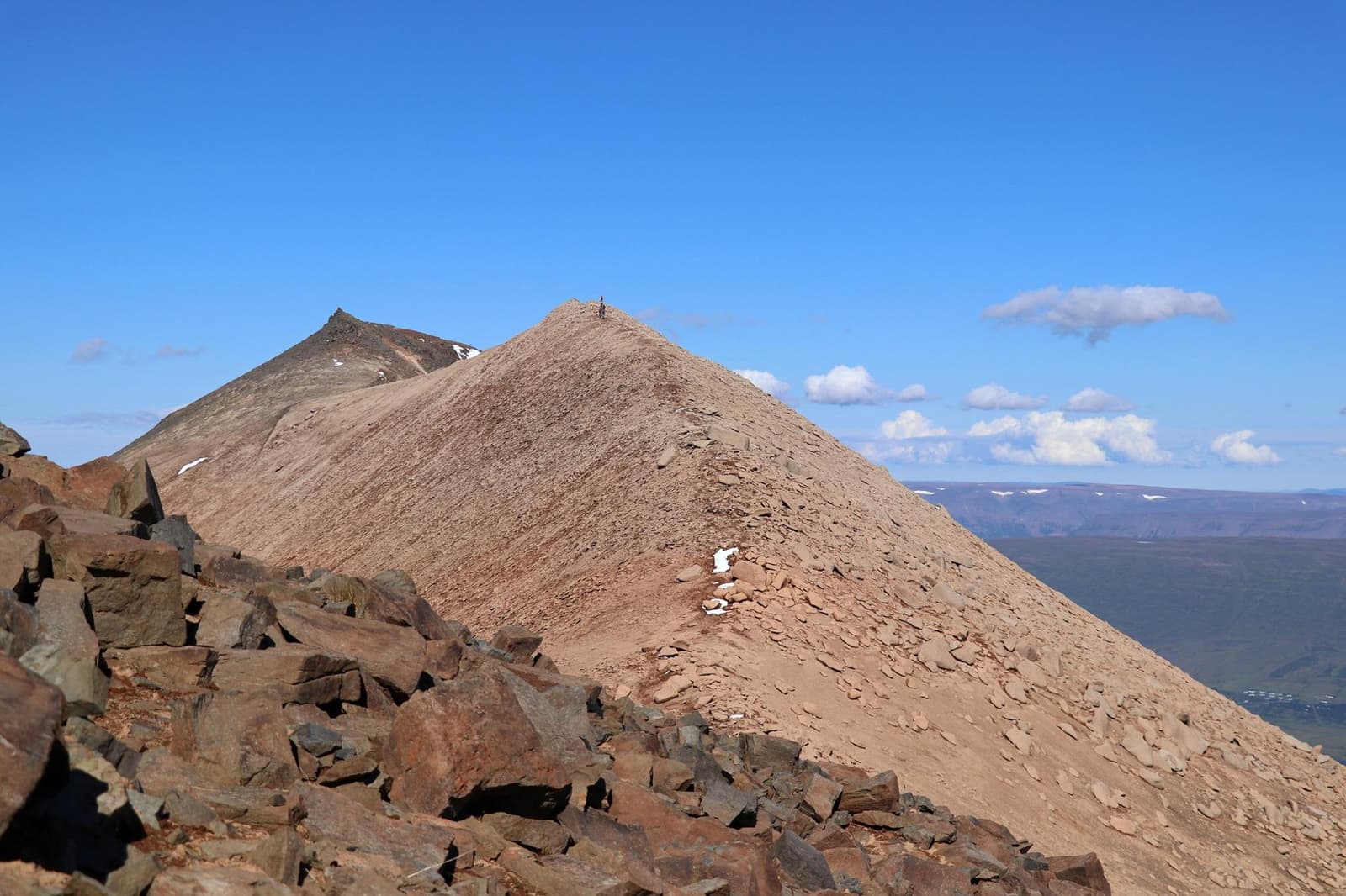
Súlur
Súlur is Akureyri’s town mountain, a demanding North Iceland hike best for fit visitors with a weather buffer, clear views, and enough time to make the climb more than a rushed skyline detour.
Akureyri mountain · North Iceland · Substantial half day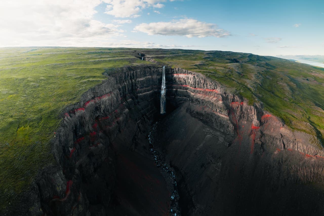
Hengifoss
Hengifoss is a tall East Iceland waterfall above Lagarfljót, best for travelers who want a rewarding gorge hike and can spare enough time for the climb, Litlanesfoss, and weather-aware planning.
East Iceland waterfall hike · Near Egilsstaðir · Red-striped gorge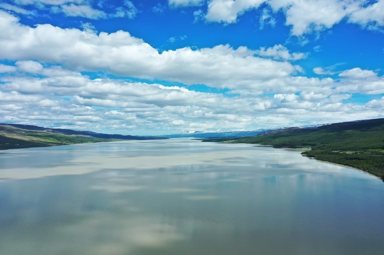
Lagarfljót
Lagarfljót is East Iceland's long lake-and-river corridor beside Egilsstaðir, best for travelers deciding whether to slow down for lake views, folklore, forest stops, and a softer side loop.
Lake corridor · Near Egilsstaðir · East Iceland side loop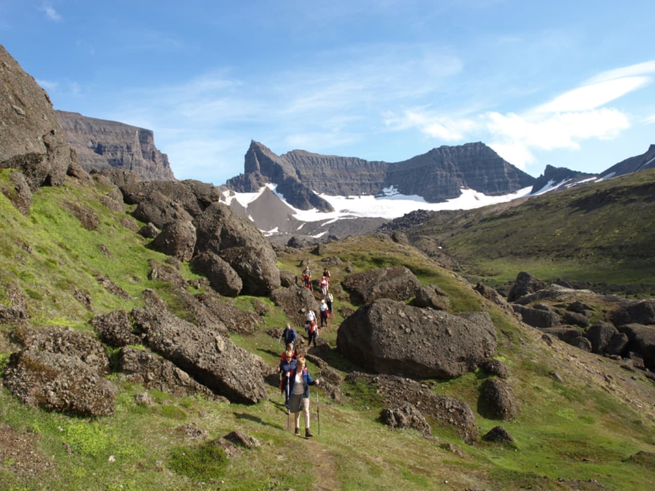
Dyrfjöll
Dyrfjöll is the jagged mountain range above Borgarfjörður Eystri in East Iceland, best for travelers who want dramatic scenery, serious hiking context, and a slower Eastfjords plan rather than a casual roadside pause.
Eastfjords mountains · Stórurð area · Serious hiking context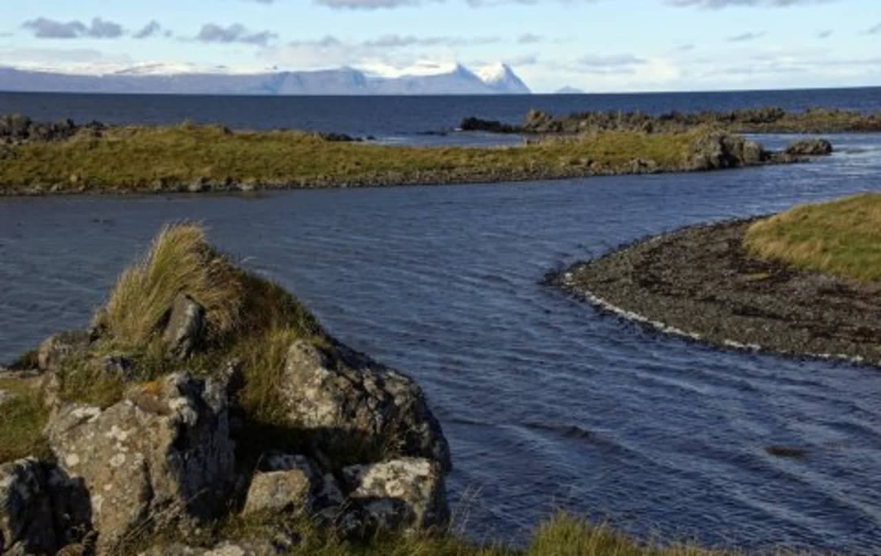
Illugastaðir
Illugastaðir is a seal-watching stop on the west side of Vatnsnes in North Iceland, best for travelers who can give the coast time, patience, and responsible wildlife distance.
North Iceland · Vatnsnes seals · Quiet wildlife stop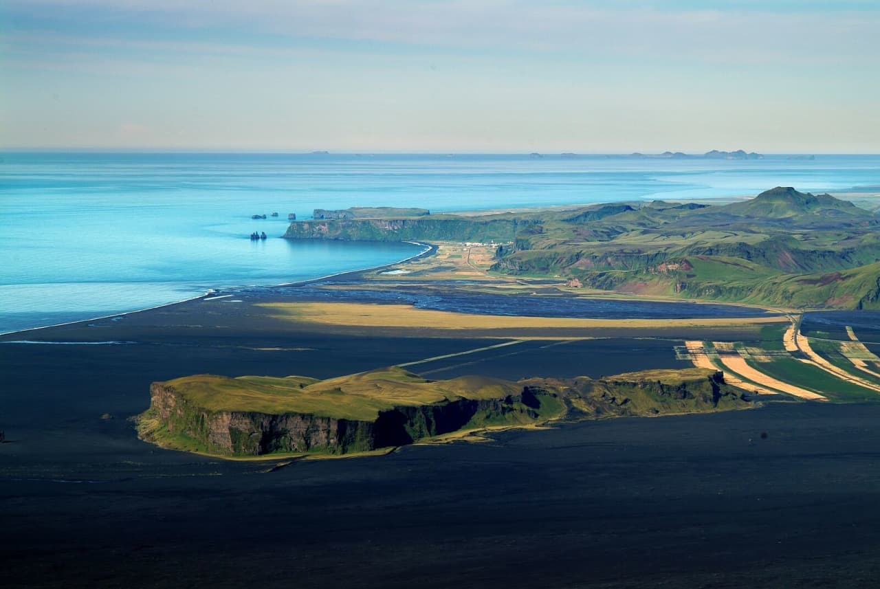
Hjörleifshöfði
Hjörleifshöfði is a steep South Coast headland on Mýrdalssandur near Vík, best for travelers deciding between a quick Gígjagjá cave stop and a longer rough-edged viewpoint walk nearby.
Vík-area headland · Gígjagjá cave and black-sand views · South Coast add-on · Quiet viewpoint stop
Húnaflói
Húnaflói is a broad bay on Iceland's northwest coast, useful for travelers deciding whether Vatnsnes, Hvammstangi, Hóp Lake, and the Skagi shore deserve time in a North Iceland route.
Bay · North Iceland · Vatnsnes and Skagi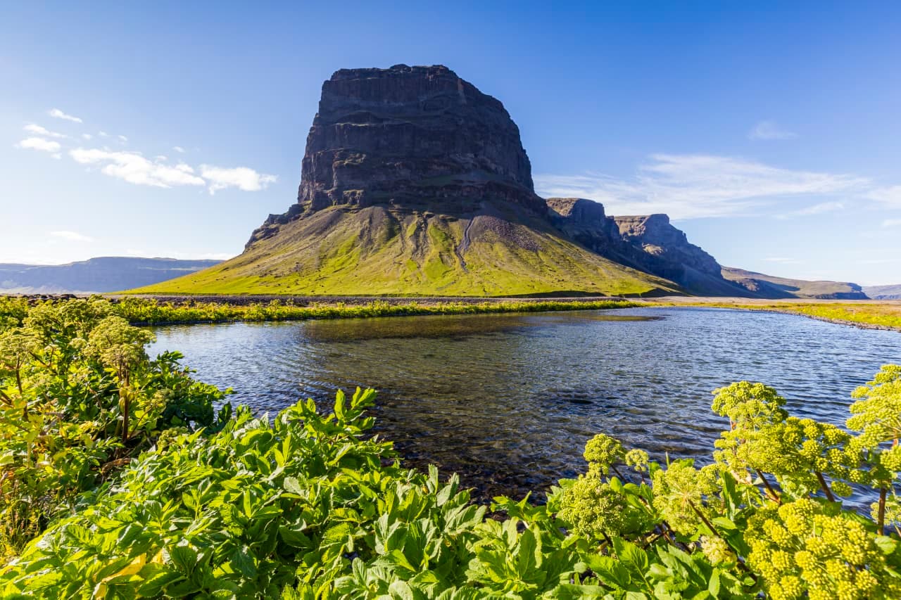
Lómagnúpur
Lómagnúpur is a steep South Coast mountain beside Route 1, best as a flexible photo pause between Kirkjubæjarklaustur and Skaftafell, with safe stopping, weather, and nearby glacier-country timing shaping the decision.
Mountain · South Iceland · South Coast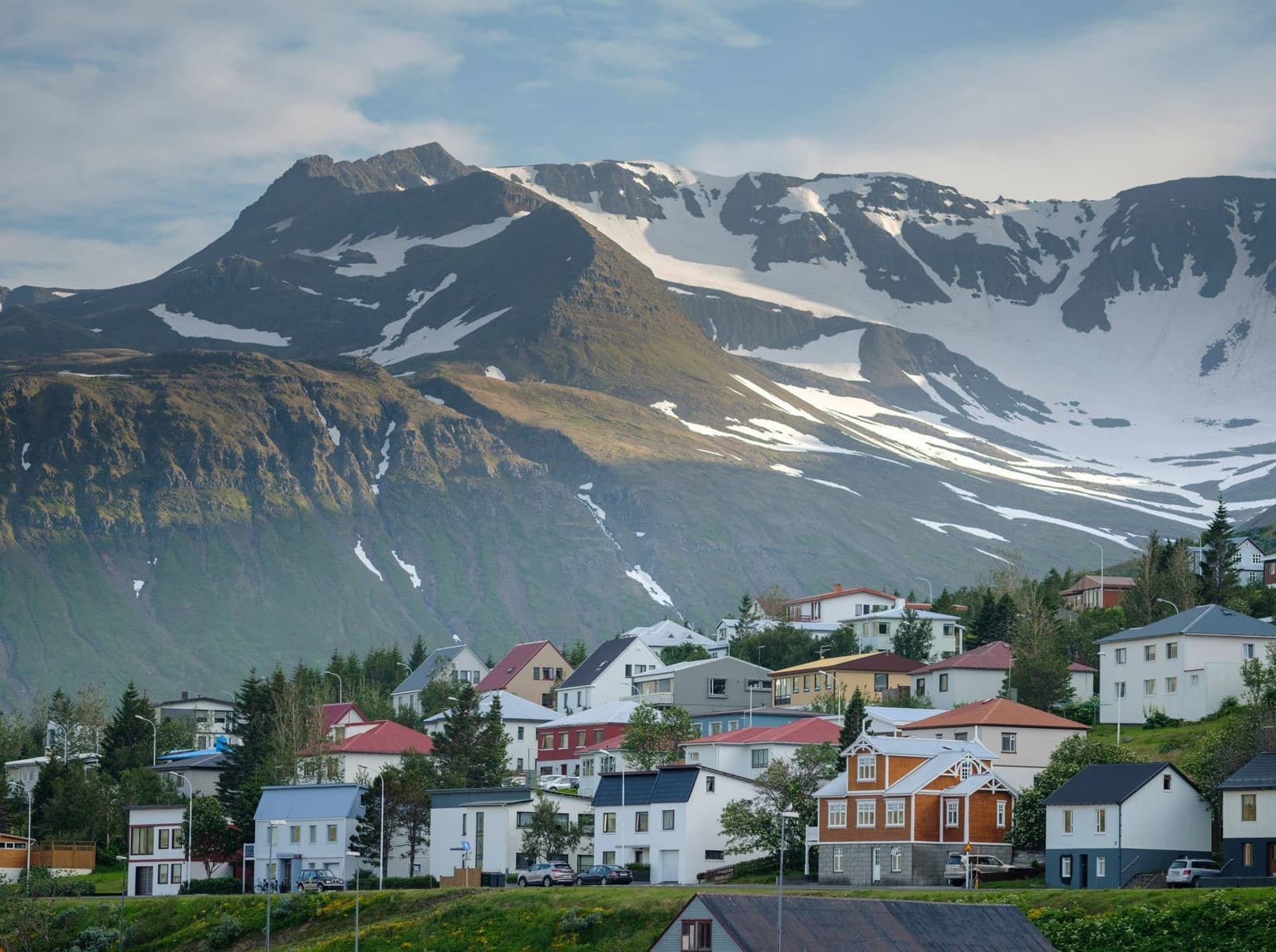
Tröllaskagi Peninsula
Tröllaskagi is a mountainous North Iceland peninsula for slower self-drive routes, fjord towns, and Arctic Coast Way texture, best when you have weather margin and time beyond the main Ring Road highlights.
North Iceland peninsula · Arctic Coast Way · Slow self-drive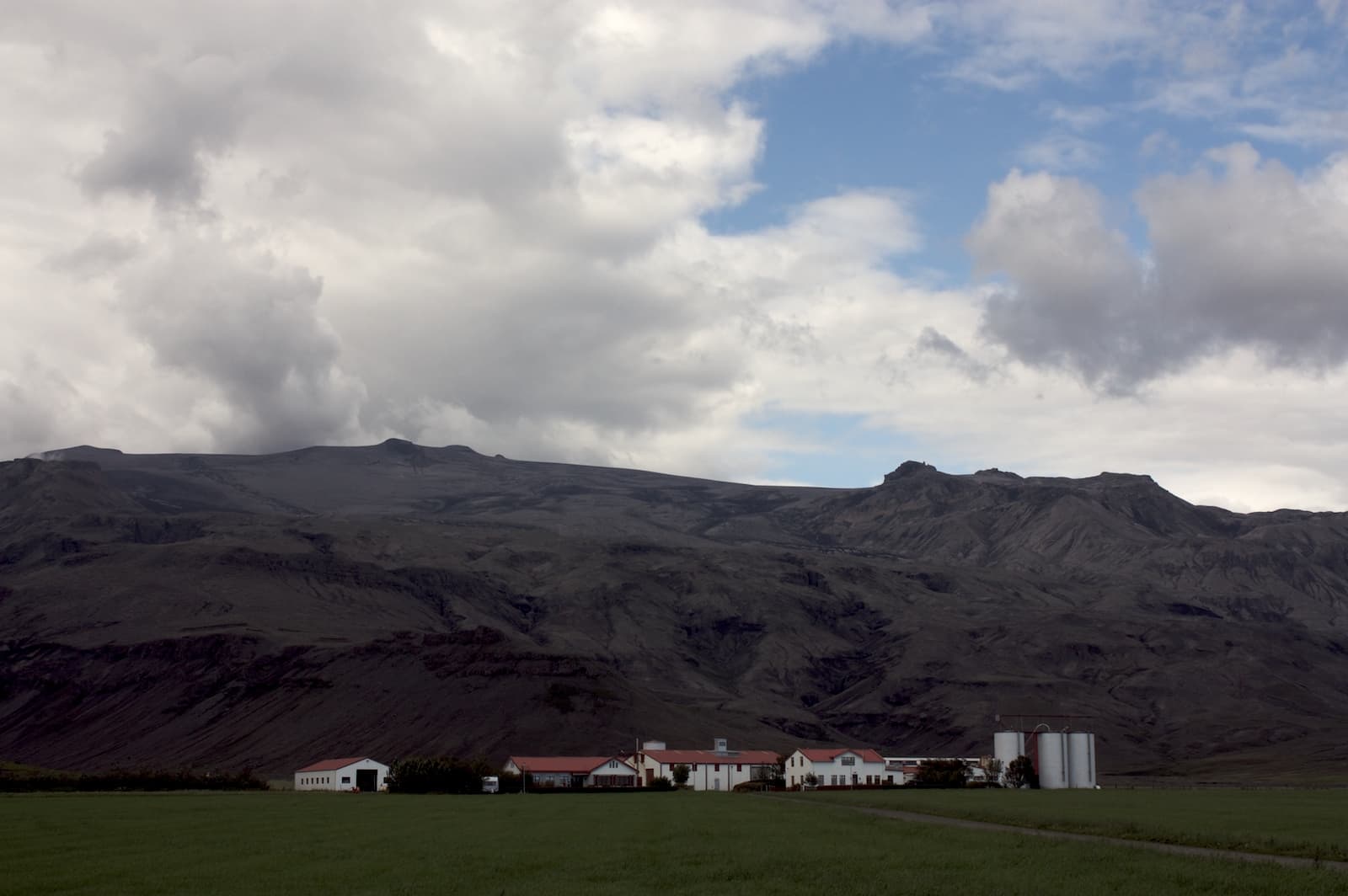
Þorvaldseyri
Þorvaldseyri is a historic South Coast farm beneath Eyjafjallajökull, worth a short, source-checked stop when you want eruption context and farm scenery between the larger waterfall and beach sights.
Historic farm · South Iceland · South Coast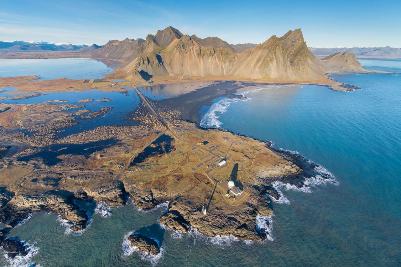
Stokksnes
Stokksnes is a southeast Iceland peninsula near Höfn, best added when Vestrahorn views, black sand, and coastal light justify the detour in a Ring Road or East Iceland day.
Vestrahorn viewpoint · Near Höfn · Black-sand coastal detour · Ring Road and East Iceland handoff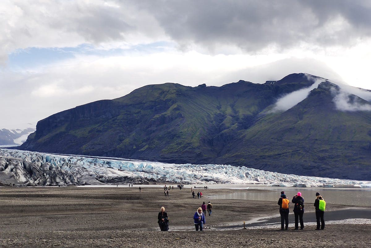
Skaftafellsjökull
Skaftafellsjökull is an outlet glacier above Skaftafell in southeast Iceland, best for travelers who want a focused glacier-viewing walk without turning the day into a guided ice activity.
Outlet glacier · Skaftafell · South Coast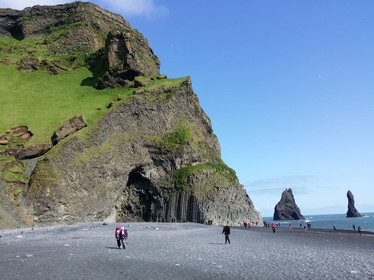
Reynisfjall
Reynisfjall is the steep tuff mountain above Vík and Reynisfjara, best for travelers who want cliff scenery, sea-stack views, puffin-season context, and a quieter South Coast pause without treating the ridge road as routine.
Vík-area mountain viewpoint · Reynisfjara and sea-stack context · South Coast scenic add-on · Weather-aware short stop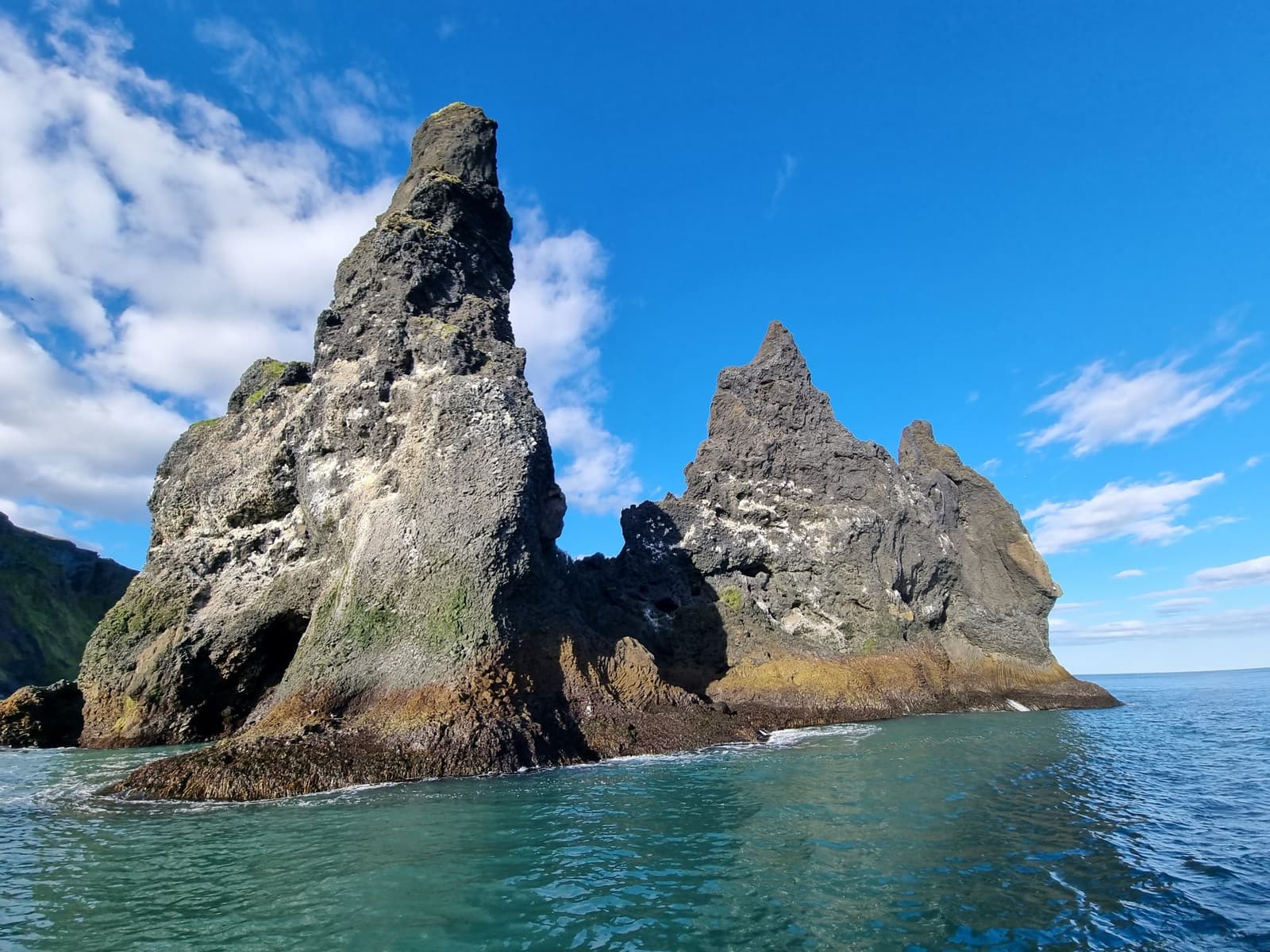
Reynisdrangar
Reynisdrangar are the basalt sea stacks off the Vík coast, best planned as a viewpoint goal near Reynisfjara where safety, viewing angle, and South Coast pacing decide the stop.
Vík-area basalt sea stacks · Reynisfjara and Reynisfjall views · South Coast scenic short stop · Safety-aware photo viewpoint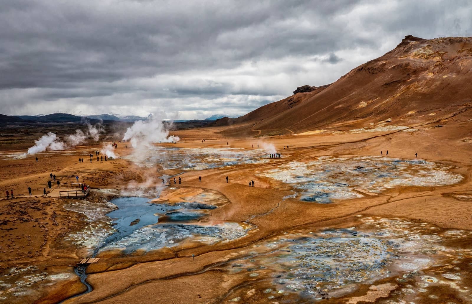
Námaskarð Pass
Námaskarð is the geothermal pass by Námafjall near Lake Mývatn, worth a short stop for steam, sulfur colors, and route context when you treat Hverir and safety boundaries as the main decision.
Mývatn geothermal pass · Route 1 stop · North Iceland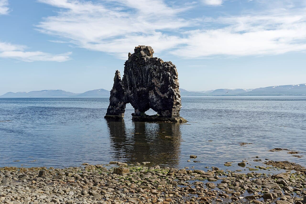
Hvítserkur
Hvítserkur is a basalt sea stack off the Vatnsnes coast in North Iceland, best planned as a short but distinctive detour with viewpoint, beach, and seal-watching context nearby.
North Iceland sea stack · Vatnsnes peninsula · Seal Circle area · Road 711 detour
Hallormsstaðaskógur
Hallormsstaðaskógur is Iceland's largest national forest, a quiet Lagarfljót stop near Egilsstaðir. Visit when your East Iceland day needs woodland trails, lake context, and a calmer contrast to waterfalls or fjord drives.
National forest · Lake Lagarfljót · Near Egilsstaðir
Atlavík
Atlavík is a sheltered cove on Lake Lagarfljót inside Hallormsstaðaskógur, best for travelers who want a quiet forest-and-lake pause while exploring the East Iceland area near Egilsstaðir and Hengifoss.
Lagarfljót cove · Hallormsstaður forest · East Iceland pause
Akrafjall
Akrafjall is the broad mountain beside Akranes in West Iceland, best for travelers who want a manageable hike, big coastal views, and enough flexibility to let weather decide the visit.
Mountain viewpoint · West Iceland · Near Akranes
Varmahlíð
Varmahlíð is a small Skagafjörður village on the North Iceland route, useful when you need a practical pause, valley view, or base decision rather than a standalone sightseeing detour.
Skagafjörður village · North Iceland route stop · Ring Road pause · Reykjarhóll views
Sólheimasandur
Sólheimasandur is an exposed black-sand outwash plain on Iceland's South Coast, known for the DC-3 plane wreck; visit only if the long walk, weather, and daylight strengthen rather than crowd your route.
South Coast black sand · DC-3 wreck walk · Weather-sensitive stop · Near Skógar and Vík
Sólheimajökull Glacier
Sólheimajökull is an accessible South Coast glacier tongue where travelers can view Mýrdalsjökull ice up close, then decide whether a guided glacier walk is worth the time, cost, and safety checks.
South Coast glacier · Viewpoint or guided hike · Near Skógar and Vík · Road 221 access check
Skútustaðagígar
Skútustaðagígar is a protected group of grassy pseudocraters on the south side of Lake Mývatn, worth adding when you want an easy volcanic walk, birdlife, and a calmer North Iceland stop.
North Iceland · Lake Mývatn · Pseudocraters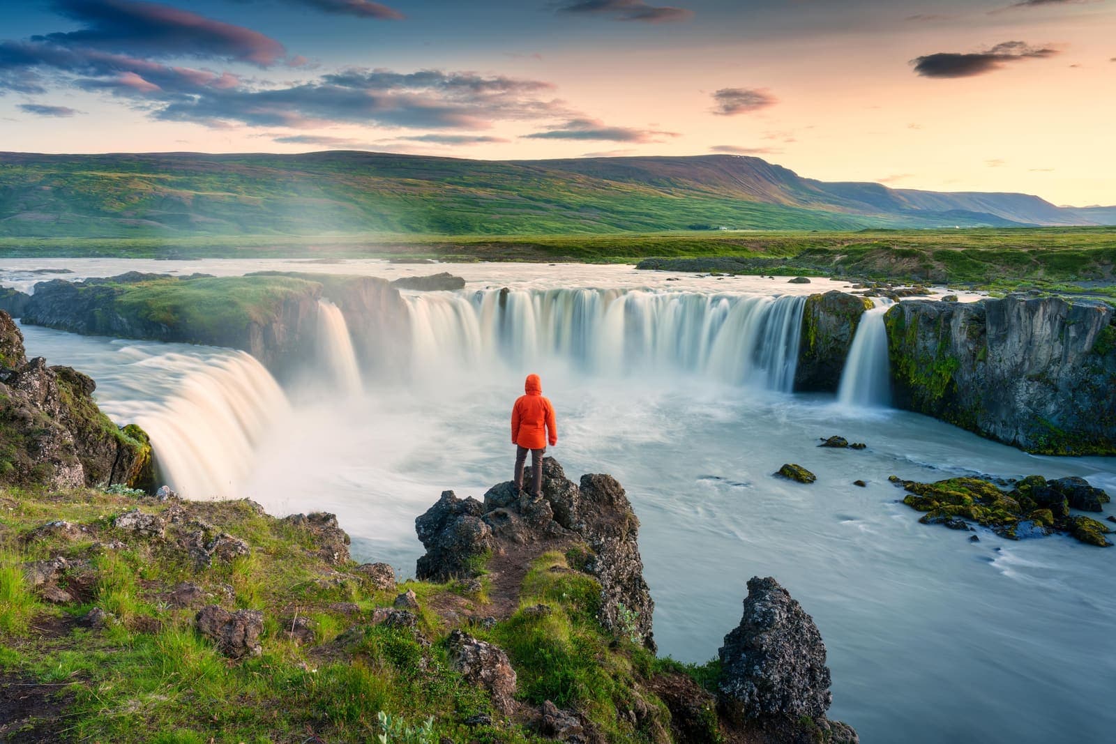
Skjálfandafljót
Skjálfandafljót is the North Iceland river behind Goðafoss, Aldeyjarfoss, and upper highland-edge waterfalls, worth planning around when you want to choose the right river stop instead of chasing every cascade.
North Iceland · River waterfalls · Goðafoss and Aldeyjarfoss
Öxarfjörður
Öxarfjörður is a wide North Iceland fjord between Tjörnes and Melrakkaslétta, best for travelers deciding whether the quiet coast deserves time between Húsavík, Ásbyrgi, Dettifoss, and the Arctic Coast Way.
North Iceland fjord area · Kópasker and Hringsbjarg views · Near Ásbyrgi and Dettifoss · Best for slower self-drive days
Jökulsárgljúfur
Jökulsárgljúfur is a protected canyon corridor in North Iceland between Dettifoss and Ásbyrgi, worth planning as a Diamond Circle landscape area when you have time for viewpoints, marked walks, and road-condition checks.
North Iceland · Diamond Circle · Canyon corridor
Jökulsá á Fjöllum
Jökulsá á Fjöllum is the glacial river behind Dettifoss and Jökulsárgljúfur in North Iceland, worth planning around when you want waterfall power, canyon scale, and a realistic Diamond Circle day.
North Iceland · Diamond Circle · Glacial river
Hengladalsá
Hengladalsá is a small river and valley-area stop in the Hengill landscape near Hveragerði, best considered when you want a quieter geothermal walk rather than another major Golden Circle sight.
River valley · South Iceland · Hengill area
Tjörnes Peninsula
Tjörnes is a coastal peninsula in North Iceland, useful when your route already connects Húsavík, Ásbyrgi, bird cliffs, and slower coastal viewpoints, with enough flexibility for conditions and nearby route choices.
North Iceland coastal peninsula · Fossil layers and bird cliffs · Between Húsavík and Ásbyrgi · Best on slower Diamond Circle days
Vatnsnes
Vatnsnes is a quiet North Iceland peninsula where seal-watching stops, farm coast, Hvítserkur, and slower Arctic Coast Way driving come together as a deliberate detour, with enough flexibility for conditions and nearby route choices.
North Iceland · Seals and sea stack · Half-day detour
Skaftafell
Skaftafell is a Vatnajökull National Park base area, best planned around short hikes, glacier views, weather, and how much southeast Iceland time your route can spare, with enough flexibility for conditions and nearby route choices.
South Coast hiking base · Vatnajökull National Park · glacier views · marked trails
Reynisfjara
Reynisfjara is a dramatic South Coast black sand beach near Vík, best treated as a viewpoint-first stop where surf, erosion, warning lights, and local instructions control the visit.
South Coast black sand beach · Basalt columns and Reynisdrangar sea stacks · Safety-sensitive surf viewpoint · Near Vík, Dyrhólaey, and Skógafoss
Jökulsárlón Glacier Lagoon
Jökulsárlón is Iceland’s best-known glacier lagoon, worth planning as a southeast route anchor with iceberg viewing, Diamond Beach timing, weather, and nearby glacier stops in mind, with enough flexibility for conditions and nearby route choices.
South Coast · Ring Road · Glacier lagoon
Hverir Geothermal Area
Hverir is a geothermal field near Mývatn, worth visiting for steaming vents, mud pots, and sulfur-colored ground when wind, footing, and safety boundaries are respected, with enough flexibility for conditions and nearby route choices.
Mývatn geothermal field · Route 1 stop · North Iceland
Austari-Jökulsá
Austari-Jökulsá is a powerful glacial river and canyon in Skagafjörður, best considered when guided rafting, summer conditions, and a slower North Iceland route fit your plan, with enough flexibility for conditions and nearby route choices.
North Iceland · Skagafjörður · glacial river · guided rafting
Dimmuborgir
Dimmuborgir is a lava-formation walking area near Mývatn, useful when you want short trails, strange rock shapes, and an easier contrast to nearby geothermal or crater stops, with enough flexibility for conditions and nearby route choices.
North Iceland · Lake Mývatn · Lava formations
Ásbyrgi Canyon
Ásbyrgi is a horseshoe-shaped canyon in North Iceland’s Jökulsárgljúfur area, worth planning as a calm walking stop when Dettifoss, Hljóðaklettar, or the Diamond Circle shape your day, with enough flexibility for conditions and nearby route choices.
North Iceland · Diamond Circle · Canyon walks
Seljalandsfoss
Seljalandsfoss is a South Coast waterfall where the path behind the falls makes timing, spray, footing, and nearby Gljúfrabúi pairing more important than a quick photo stop, with enough flexibility for conditions and nearby route choices.
South Coast waterfall · Walk-behind path when open · Near Gljúfrabúi and Skógafoss · Easy Ring Road access
Build a trip around the places you want to see.
Once the sights are clear, use planning pages to turn them into a route with realistic timing.