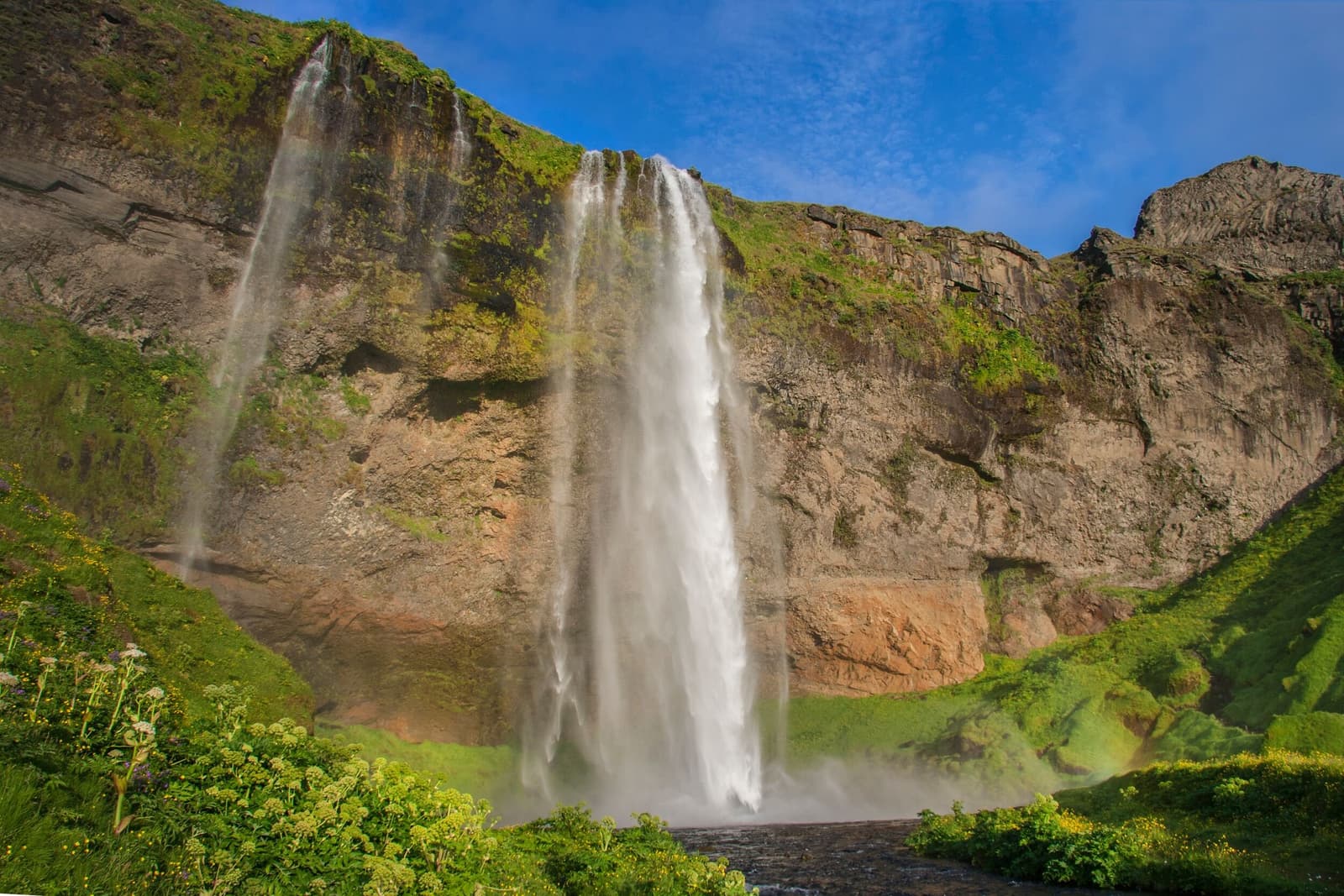
The old cliff continues beyond Seljalandsfoss, carrying several smaller falls along the mountain front.
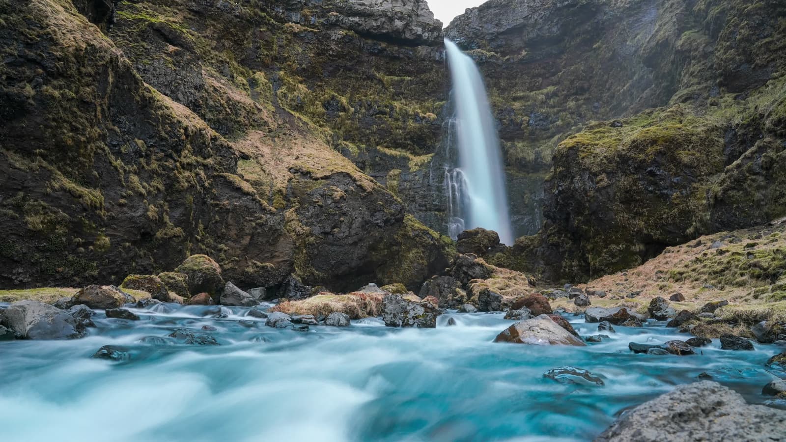
Gljúfrabúi is the closest and most natural companion. It falls about 40 metres from the spring-fed Gljúfurá into a narrow chasm partly hidden by a large rock. Entering the wet gorge is more confined than the open path at Seljalandsfoss, and Katla Geopark warns of falling-rock risk. See it from a safe position if water, crowding, or footwear makes the inner approach unsuitable.
Farther east, Skógafoss gives a broad, powerful front-facing contrast. Nauthúsagil is a longer and more involved gorge walk, not an automatic addition. Hvolsvöllur provides nearby town context, while the South Iceland guide helps place the Eyjafjöll cliff line within the wider region.
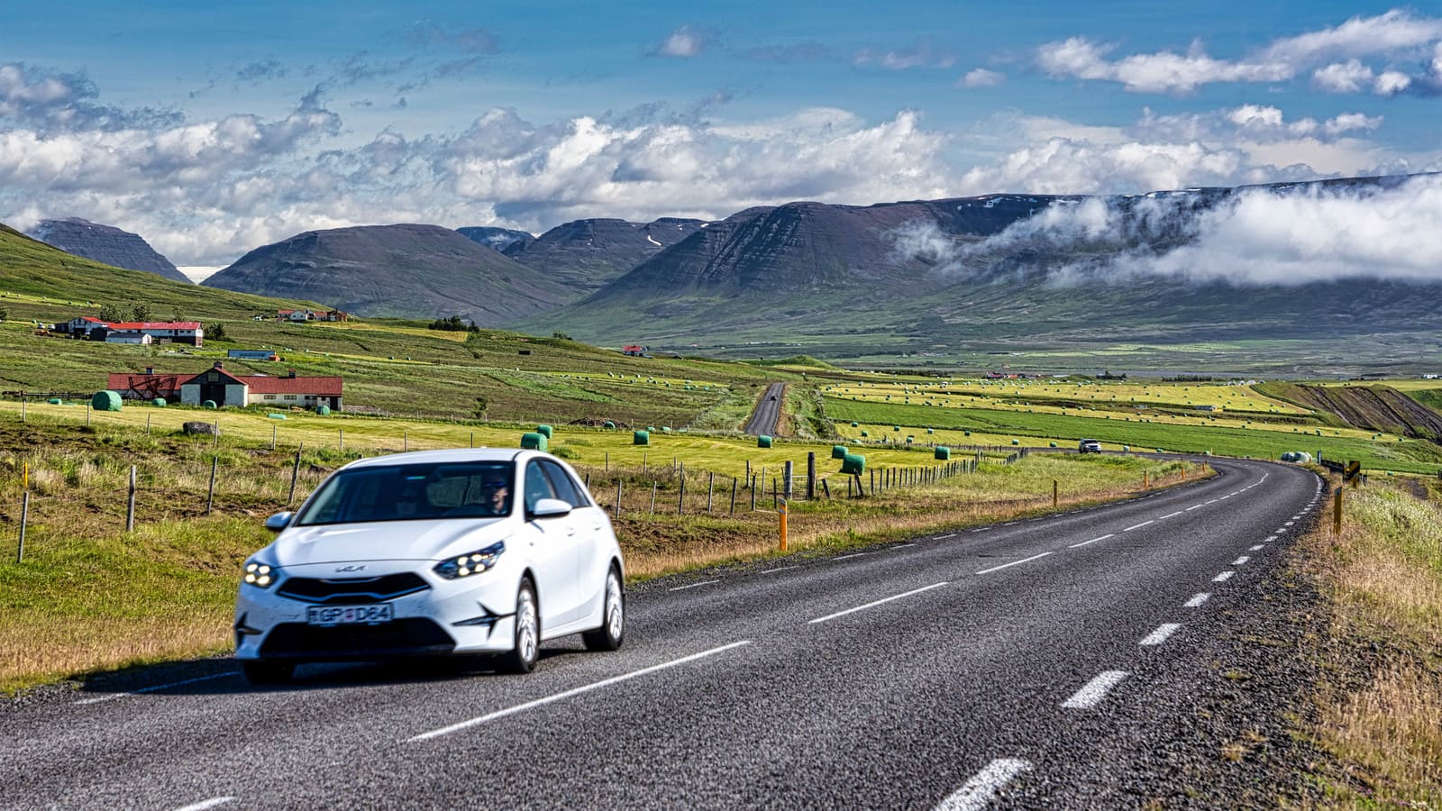
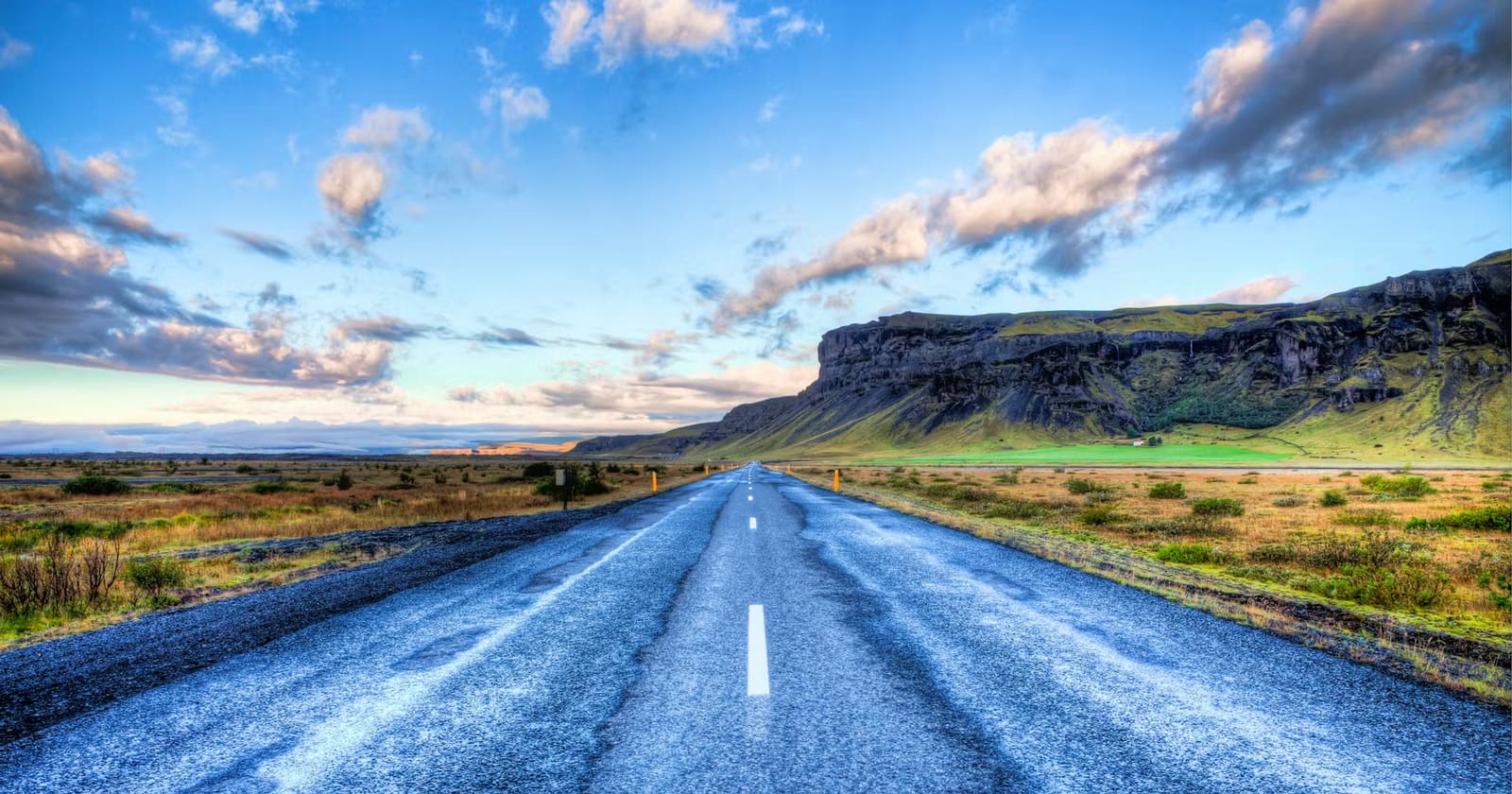
Seljalandsfoss itself sits close to Road 1, but parking arrangements, weather, and road conditions can change. Check Umferðin before a winter or storm-affected drive and follow the site setup you find on arrival. These practical checks should support the waterfall visit, not become the main story.
Nearby landscape and access
Gljúfrabúi's 40 m drop, spring-fed river, chasm, geology, and falling-rock warning.
Regional context connecting Seljalandsfoss with Skógafoss and other South Coast landscapes.
Current road conditions and notices for reaching the site.