Quick guide
- Type
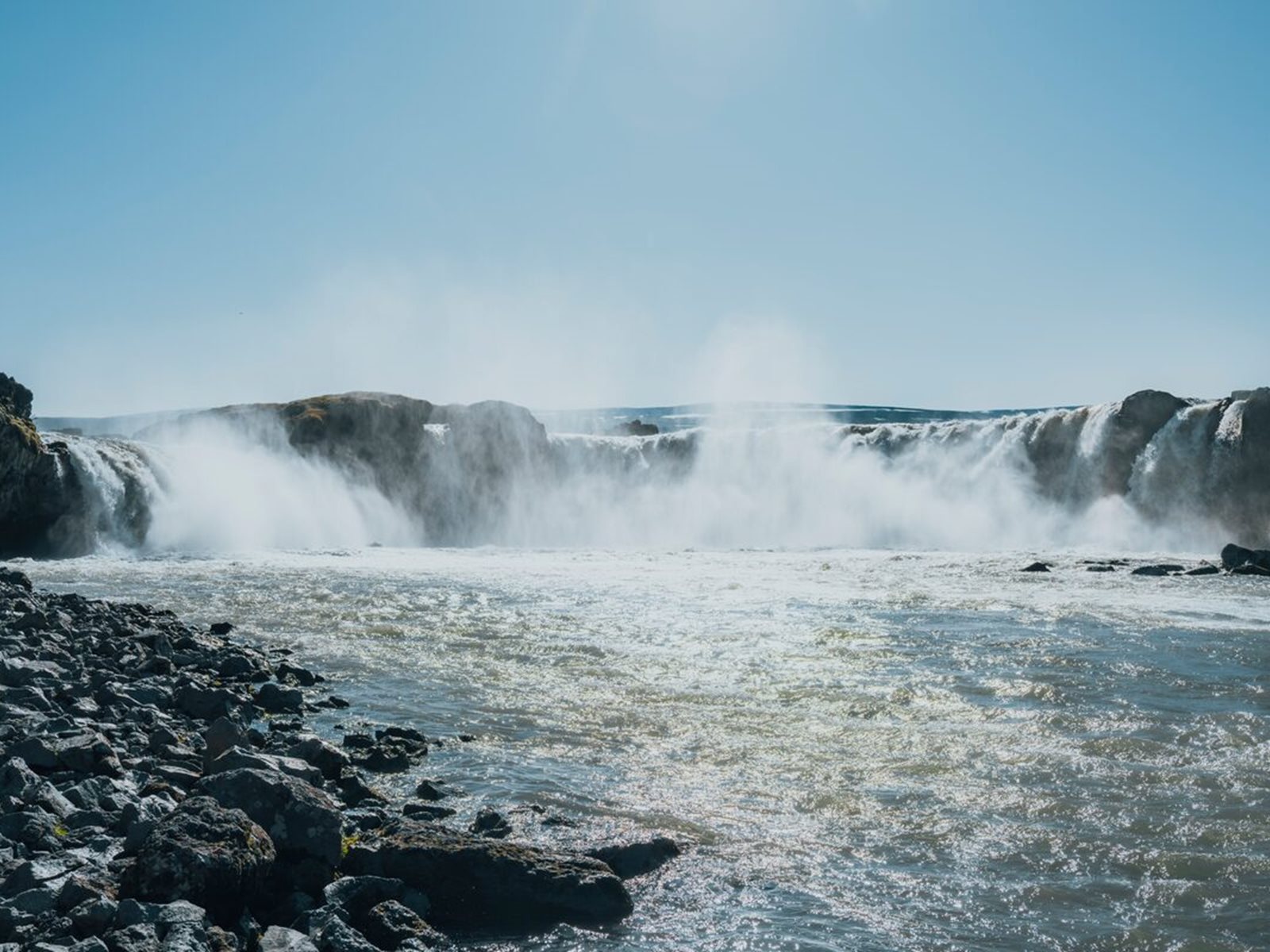
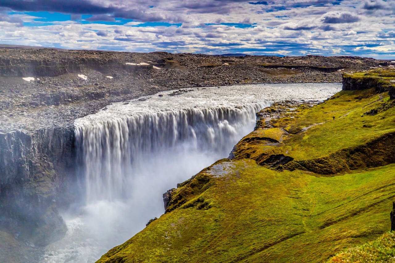
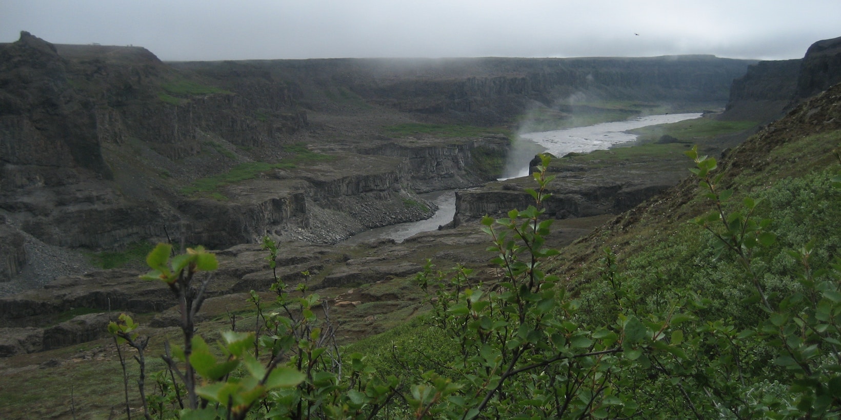
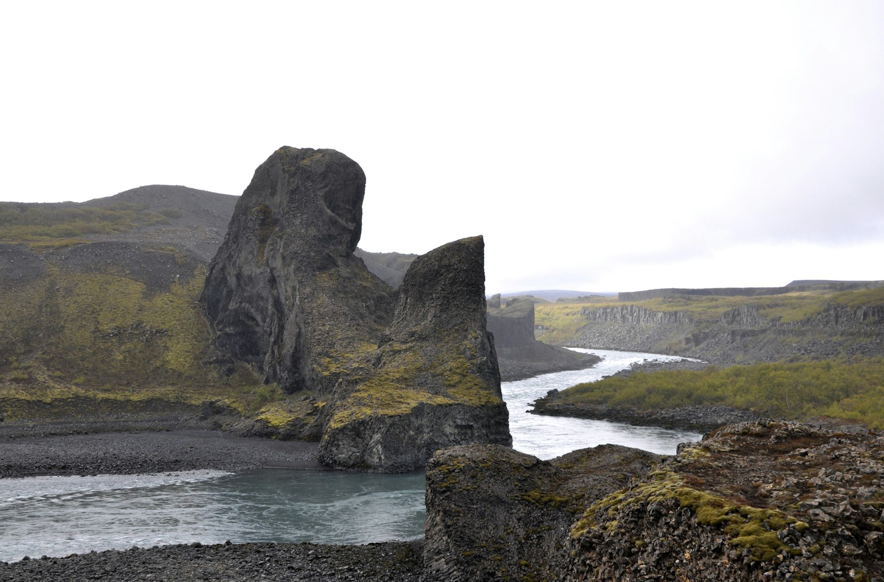
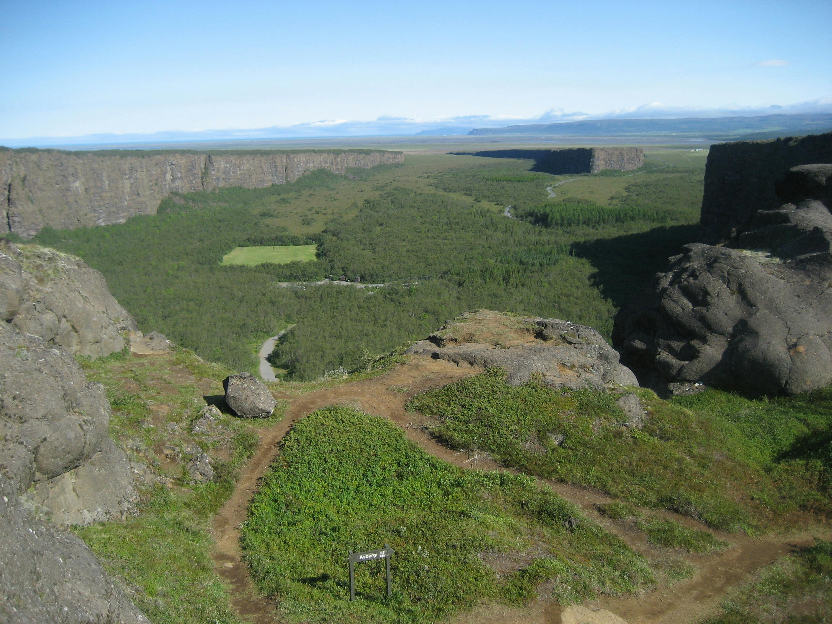
- Glacial river, canyon corridor, waterfall system, and protected natural landscape
- Region
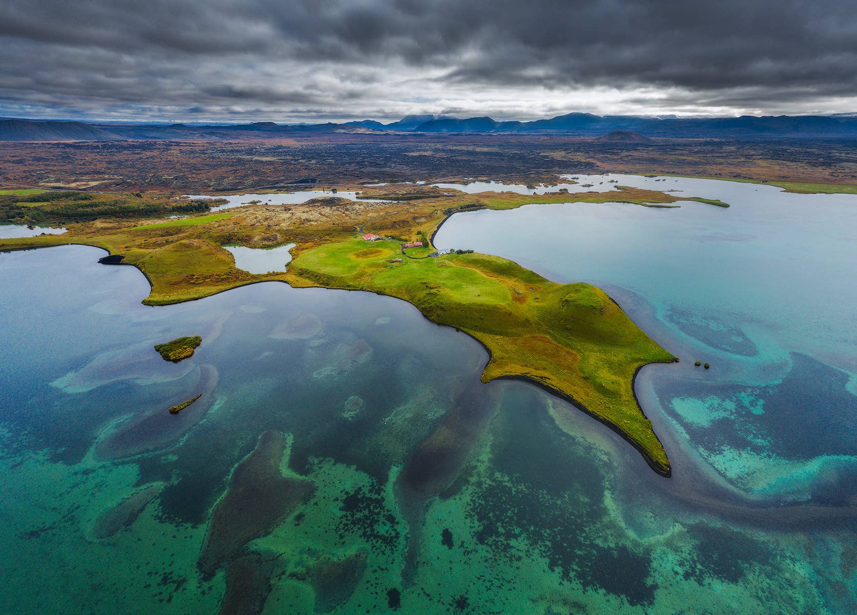
- North Iceland, flowing from the Vatnajökull area toward Öxarfjörður
- Route context
- Most useful as the landscape thread behind Dettifoss, Jökulsárgljúfur, Ásbyrgi, and the Diamond Circle
- Time to allow
- 30-60 minutes for a Dettifoss-focused stop, half a day for a balanced canyon sequence, or longer for marked walks
- Best experience
- Use the river to connect waterfall power, canyon viewpoints, basalt formations, and North Iceland route decisions
- Access reality
- Roads, surfaces, viewpoints, and marked paths can change with weather and season; verify official guidance before committing
- Season context
- Long daylight helps the wider canyon make sense; winter and shoulder-season plans need extra margin
- Nearby pairings
- Dettifoss, Jökulsárgljúfur, Hljóðaklettar, Ásbyrgi, Lake Mývatn, Möðrudalur, and Goðafoss
- Safety note
- Stay on marked paths near cliffs, river edges, waterfall viewpoints, and unstable ground