Quick guide
- Type
- River corridor with major waterfall stops
- Region
- North Iceland, running from the Vatnajökull highland edge toward Skjálfandi Bay
- Route context
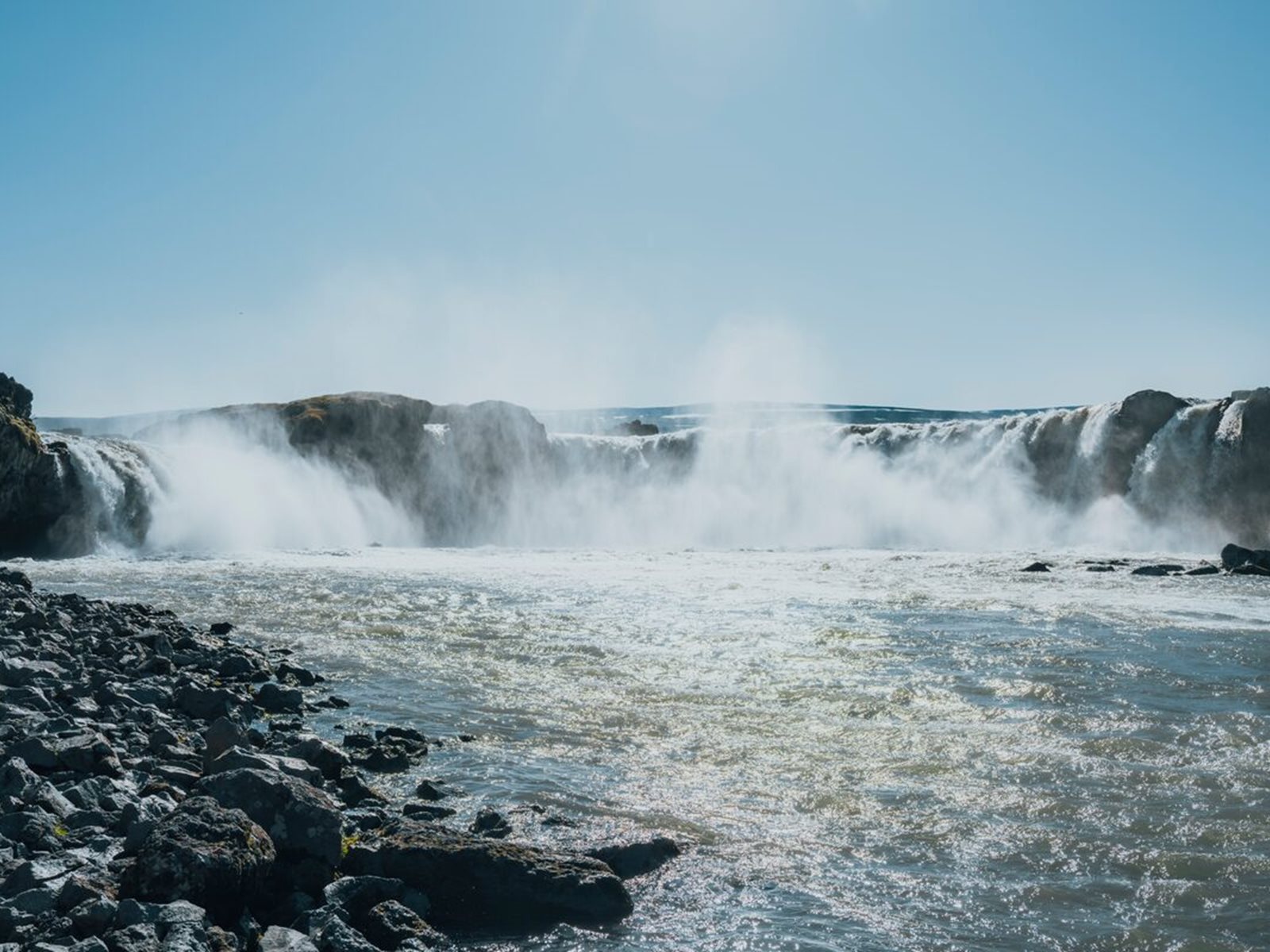
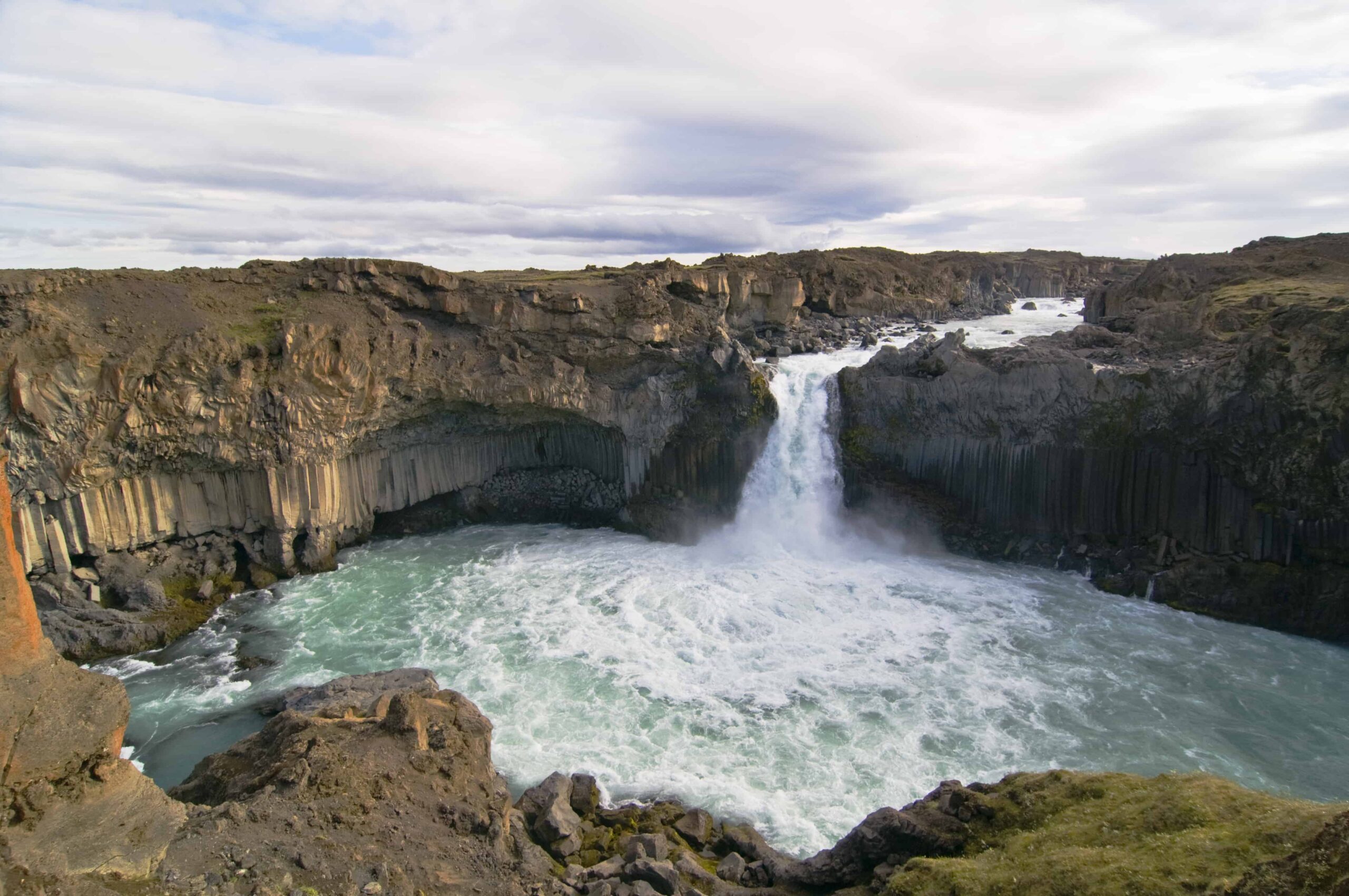
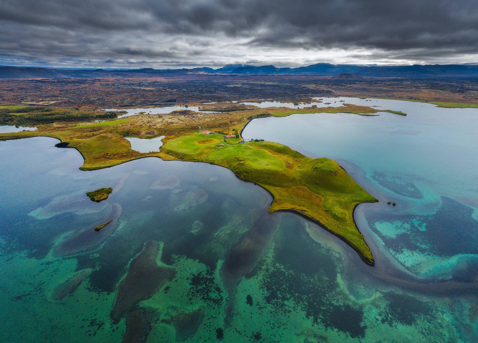
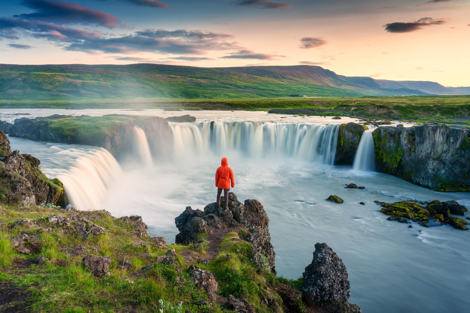
- Most useful for Goðafoss, Aldeyjarfoss, Diamond Circle, Mývatn, and Bárðardalur planning
- Time to allow
- 30-60 minutes for Goðafoss, 2-3 hours for Aldeyjarfoss from the Goðafoss area, longer for upper-river plans
- Best experience
- Choose one easy waterfall stop and one deliberate detour instead of trying to follow the whole river
- Access reality
- Lower-river stops are simpler; upper-river and highland-edge stops need road, weather, and vehicle checks
- Season context
- Summer is the easiest planning window beyond Goðafoss; winter and shoulder seasons need stronger backup plans
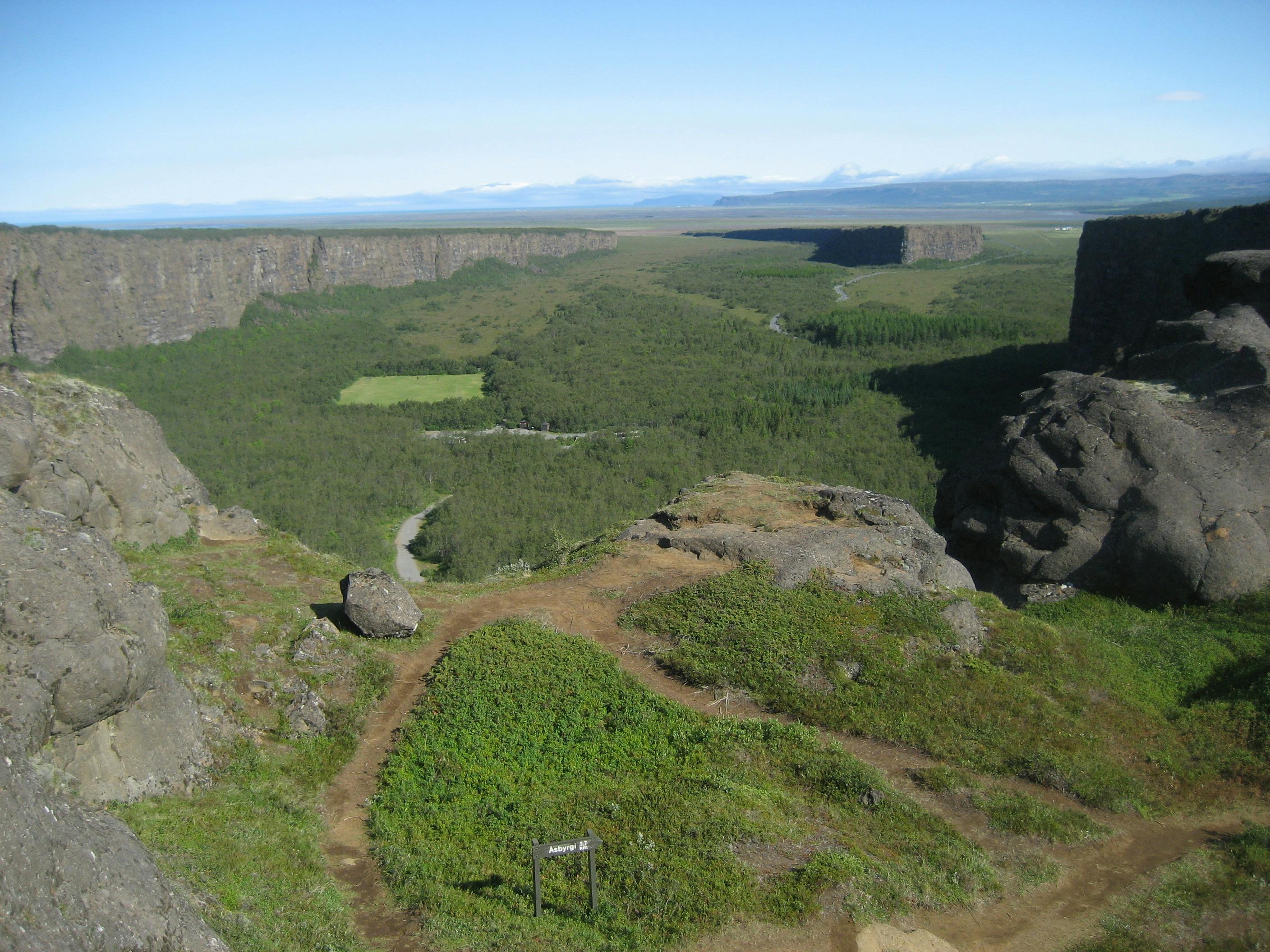
- Nearby pairings
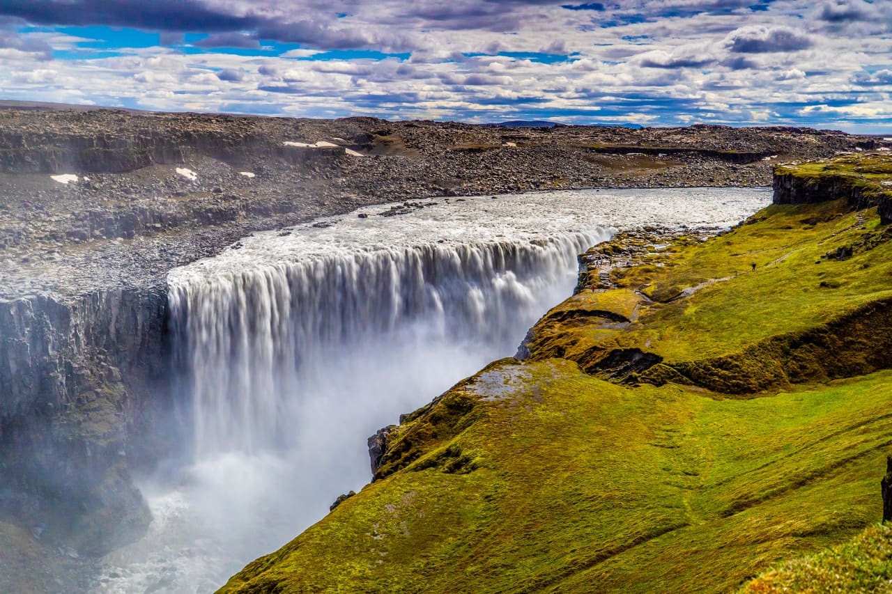
- Goðafoss, Aldeyjarfoss, Lake Mývatn, Dettifoss, Ásbyrgi, Hljóðaklettar, and North Iceland routes