Akrafjall is the broad mountain beside Akranes, split by Berjadal and topped by two main summits. A one-summit hike is much shorter than the full ridge circuit, so route choice matters before you start.
Hike facts
Route length
About 6-7 km for one summit or nearly 14 km for the full circuit
Full circuit
About 6-7 hours with roughly 600 m of ascent
Highest summit
Geirmundartindur, 643 m
Southern summit
Háihnúkur, 555 m
Trail reality
Marked starts, then steep and rocky mountain terrain
In this guide
Two summits rise above Akranes
Akrafjall is a split mountain rather than one simple out-and-back viewpoint.
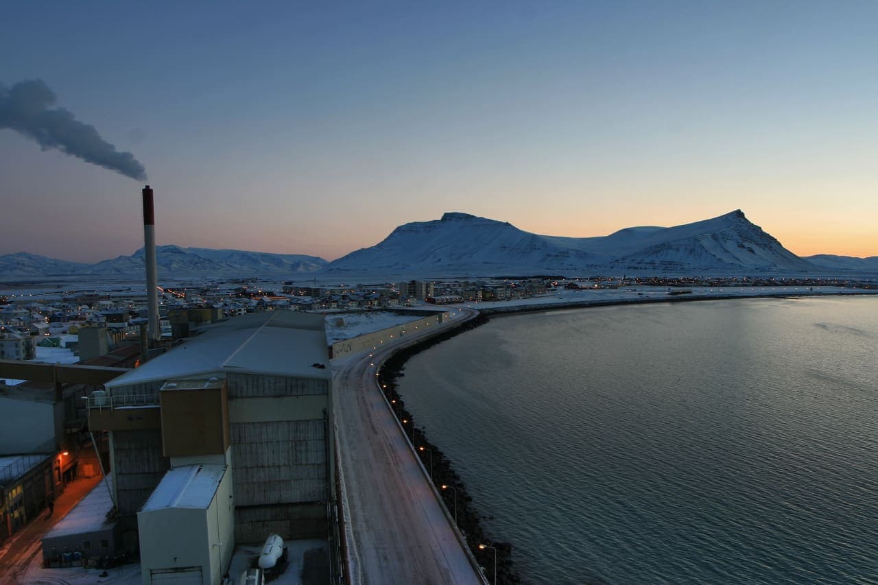
Berjadal cuts into the mountain between its two main tops. Háihnúkur, the southern summit, reaches 555 metres; Geirmundartindur, the higher northern summit, reaches 643 metres. From Akranes, the mountain is a broad local landmark. From the ridges, the view opens over Faxaflói, the coast and the entrance to Hvalfjörður.
The flattened upper profile has an Ice Age story too. Visit West Iceland explains that a glacier smoothed the top and that water surrounded the mountain when sea level stood differently around the land. That shape is part of why the summit view feels unusually open.
Local hiking role, summit heights and relative effort.
Photo guide
Akrafjall in photos
Akrafjall can look dramatic in winter, but the mountain is still a condition-dependent outdoor stop rather than a guaranteed scenic payoff.
Choose one summit or the full circuit
The route choice changes Akrafjall from a half-day summit walk into a substantial mountain day.
Ferðafélag Íslands describes marked branches from the car park at the mouth of Berjadal. A route to either summit is about 6-7 kilometres. Linking both sides into the full circuit is nearly 14 kilometres, gains roughly 600 metres and is estimated at 6-7 hours.
Háihnúkur is the lower, more commonly described southern objective.
Geirmundartindur is higher and has steeper, rockier ridge terrain.
The full circuit crosses both halves of the mountain and needs a full hiking window.
Visit West Iceland also describes an approach from the Akranes Water Works car park toward Háihnúkur. Because route descriptions use different starts and objectives, open the route information for the exact hike you intend rather than following a general pin.
Distances, ascent, duration, route branches and terrain.
The ridges are steeper than the mountain looks
A relatively accessible Icelandic mountain is still not a surfaced walking path.
The hiking association rates the circuit as moderately difficult. The first path above the Berjadal start is steep, and the ridges toward Geirmundartindur are both steep and rocky. A trail is visible in most places, but the terrain still asks for balance, footwear and attention to navigation.
For a different active day nearby, Glymur is a waterfall hike with its own river, crossing and seasonal considerations. It is an alternative objective, not something to add after a full Akrafjall circuit.
Clear weather is part of the reward
The broad view is one of Akrafjall's defining features, so poor visibility changes the value of the hike.
In clear air, the panorama reaches across Faxaflói toward Reykjanes and Snæfellsjökull. Cloud can remove that scale quickly, while wind is more consequential on the exposed upper ground than it feels in town. Use the West Iceland region guide for lower-level alternatives if the summit forecast is weak.
Winter makes this a different mountain
Snow and ice turn the same ridges into a more serious route.
Ferðafélag Íslands warns that the winter route may not suit everyone and can require safety equipment. Check wind, precipitation, visibility, snow conditions and daylight before leaving. Current information from weather and safety authorities matters more than a year-round description of the mountain.