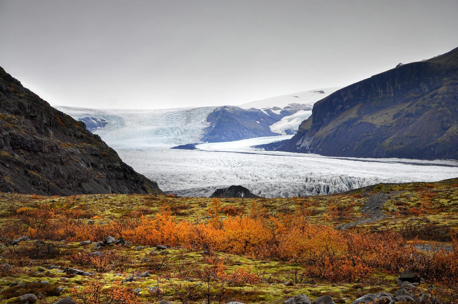
Skaftafell is a hiking area within Vatnajökull National Park, not one single sight. Trails lead from its visitor centre through birch-covered slopes to Svartifoss, glacier viewpoints and longer mountain routes.
Area snapshot
What it is
A trail and visitor-service area within Vatnajökull National Park
Short glacier route
S1: 4.1 km loop, about 1-1.5 hours, officially graded easy
Svartifoss circuit
S2: 5.8 km loop, about 2 hours, officially graded easy
Visitor centre
Skaftafellsstofa, open year-round according to the park
Access
Beside Route 1; weather and road conditions still matter
In this guide
A national-park base with several destinations
Skaftafell names a broad visitor area on the southern side of Vatnajökull, where marked trails spread out from Skaftafellsstofa visitor centre.
Part of Skaftafell became a national park in 1967 and joined Vatnajökull National Park in 2008. The landscape combines outlet glaciers, dark mountain ridges, birch woodland and the sandy outwash plain of Skeiðarársandur. This variety is why the place works as a walking destination rather than a single viewpoint.
The most familiar goals are Svartifoss and Skaftafellsjökull, but they are separate walks within the larger area. Longer routes continue toward Sjónarnípa, Skaftafellsheiði, Kristínartindar and Morsárdalur.
Area identity, history, trail network, access and services.
Photo guide
Skaftafell in photos
1 / 2
Falljökull is another outlet-glacier destination in the wider Skaftafell area.
Glacier change or a basalt-framed waterfall
The glacier trail is the shorter choice for landscape change; the Svartifoss circuit is longer and centers on a waterfall and forest walk.
The park lists the S1 glacier trail as a 4.1-kilometer loop taking about 1-1.5 hours. Numbered markers explain how Skaftafellsjökull has retreated and how vegetation is returning to terrain once covered by ice. The route ends with a glacier view; it does not continue onto the ice. This is Skaftafellsjökull, not Svínafellsjökull, a separate nearby outlet glacier with its own access.
The S1 route is a walk to a glacier viewpoint, not a walk on glacier ice.
The S2 circuit to Svartifoss, Sjónarsker and Sel is listed as 5.8 kilometers and about two hours. Its dark basalt-framed waterfall is the headline, while Hundafoss, Magnúsarfoss, open views and the old turf farm at Sel add variety to the loop.
Routes beyond the two short walks add glacier panoramas, distance and exposure rather than simply more of the same scenery.
The official S5 route to Sjónarnípa is 6.5 kilometers, takes about 2-2.5 hours and is graded challenging. It gives a higher view over Skaftafellsjökull. The Skaftafellsheiði and Kristínartindar routes are much longer full hikes, with the latter reserved by the park for experienced hikers.
Higher routes offer wider glacier views but bring more distance, exposure and condition risk.
Do not choose only from distance and time. Snow, ice, wind, cloud and recent trail notices can change the meaning of an official grade. Ask the visitor centre when the longer route is central to your day.
Skaftafellsstofa is the practical starting point
The year-round visitor centre provides current information about trails, nature, accommodation and recreation in the area.
Use the centre to confirm trail status and match the route to the day's conditions. Toilets, a campsite and seasonal private services are available in the broader visitor area, but opening times and service levels should be checked rather than assumed.
Skaftafell is reached from Route 1. The park describes access as year-round when roads and weather permit, with faster changes outside summer. A short gap on a driving day does not automatically make a short hike sensible.
Current visitor-centre hours, services and contact details.
Keep a southeast day realistic
A short Skaftafell walk can fit beside one later stop; a longer hike should be treated as the main activity.
Fjallsárlón and Jökulsárlón continue the glacier theme farther east without repeating the same experience: they are lagoon viewpoints rather than forest and mountain walks. Leave enough margin for the chosen trail, current conditions and daylight before adding them.
Choose Skaftafell for the act of walking through a varied protected landscape. If the day only allows a brief roadside pause, save the area for a visit when one of its routes can be the point.