Use this road-trip guide to decide whether Snæfellsnes fits your Iceland route, how much time it needs, where to stay, and what to verify before driving.
Best route shape
One night on the peninsula is the cleanest balance; two nights gives a slower west Iceland route.
Day-trip reality
The displayed 314 km / 4 hr 45 min ends at Stykkishólmur. Add the return to Reykjavík separately for a day trip.
Main roads
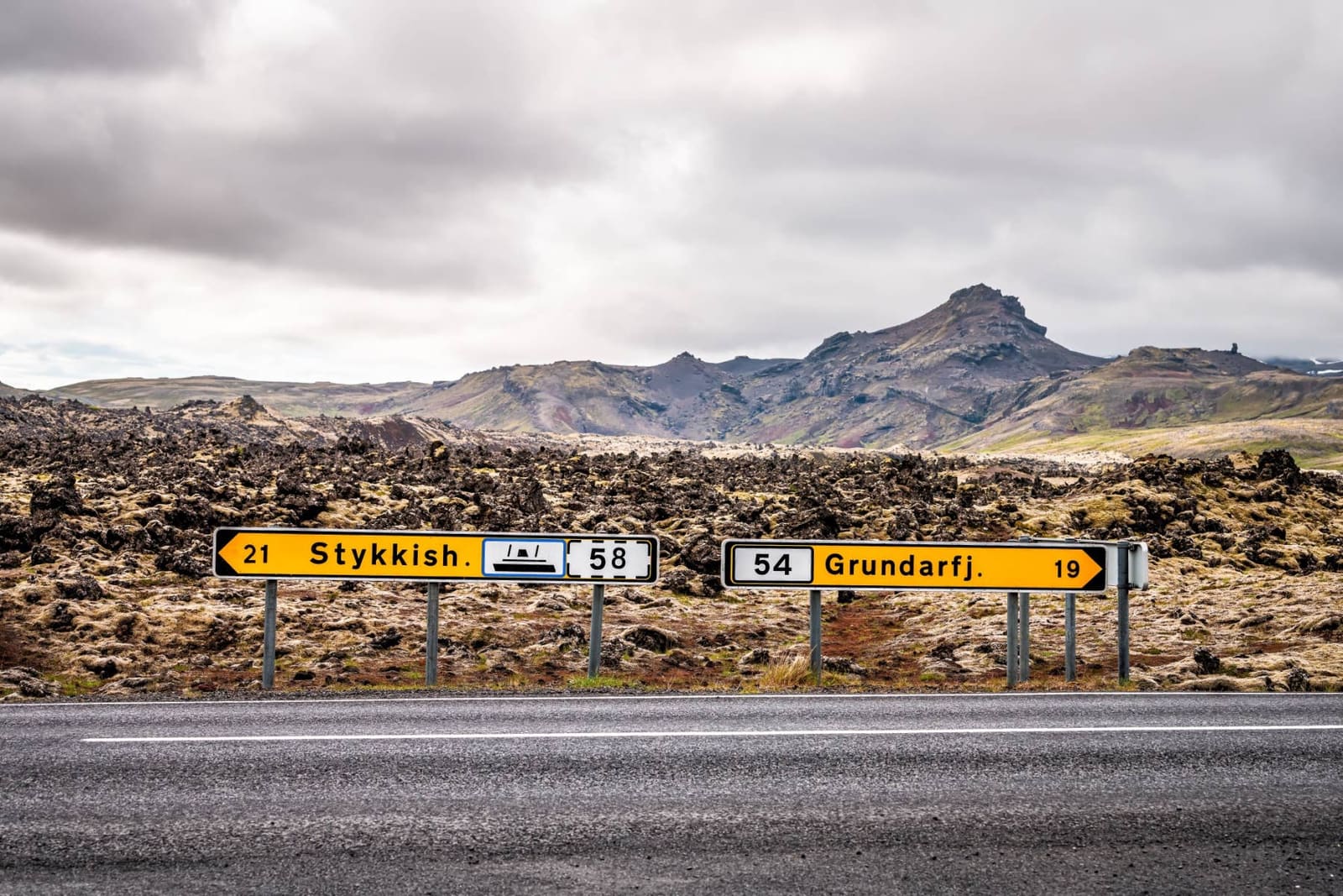
Route 54 brings you onto the peninsula; Route 574 loops around the national park area.
Best bases
Grundarfjörður for Kirkjufell and the north coast, Stykkishólmur for Breiðafjörður, Arnarstapi/Hellnar for the south coast.
Route essentials
Best route shape
One night on the peninsula is the cleanest balance; two nights gives a slower west Iceland route.
Day-trip reality
The displayed 314 km / 4 hr 45 min ends at Stykkishólmur. Add the return to Reykjavík separately for a day trip.
Main roads
Route 54 brings you onto the peninsula; Route 574 loops around the national park area.
In this guide
Is Snæfellsnes worth a road trip?
Snæfellsnes is worth a road trip when you can give it at least one focused day and, ideally, one night on or near the peninsula.
The peninsula works because the route is compact but varied: lava fields, fishing towns, coastal cliffs, Snæfellsjökull, Kirkjufell, beaches, and Breiðafjörður sit close enough to form one westbound driving decision. It is weaker as a last-minute add-on to an already crowded South Coast plan.
Think of Snæfellsnes as a route choice, not a stop list. If the goal is a manageable alternative to a bigger loop, it can be excellent. If the goal is to squeeze one more famous landscape into a short trip, the driving can outweigh the reward.
Good to know
Is this right for you?
Best for
self-drive travelers with one or two spare days
first-time visitors comparing west Iceland with the Golden Circle
Ring Road travelers deciding whether to add a western loop
photographers and slow-route planners who can handle flexible weather
Think twice if
winter travelers with no daylight or road-condition flexibility
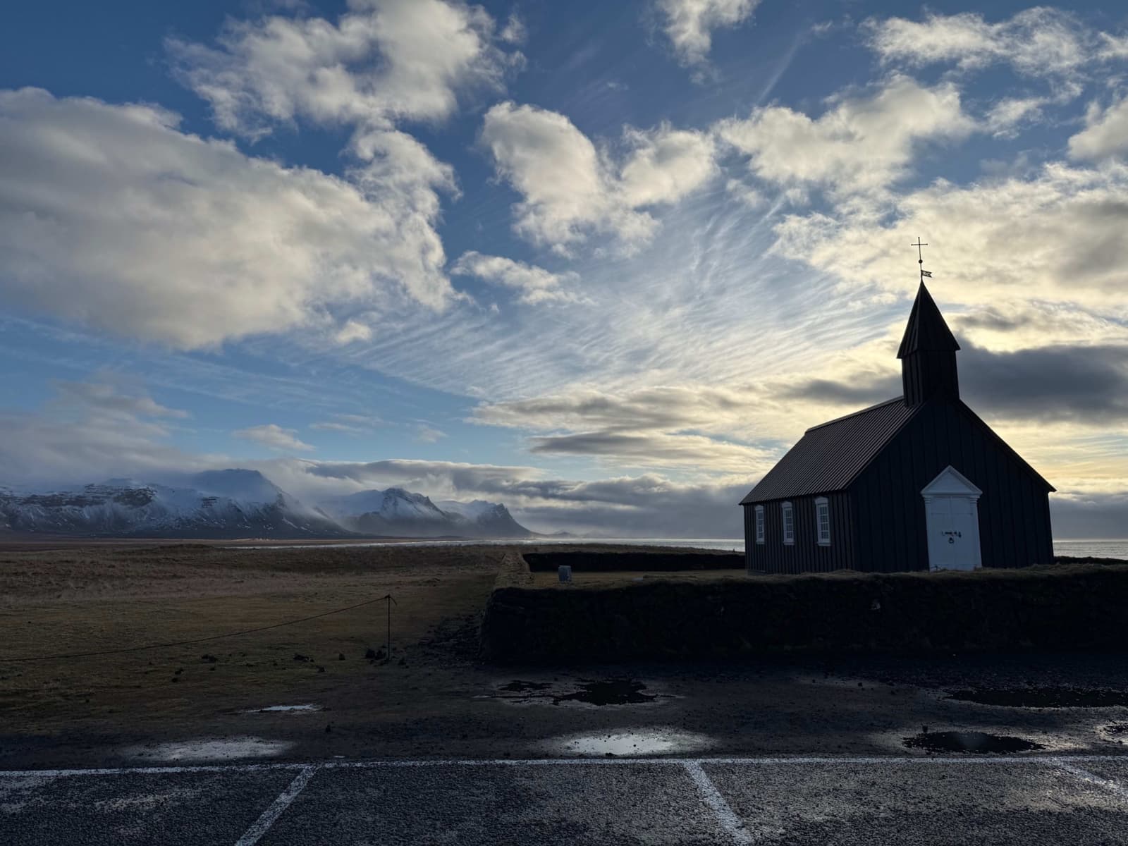
The pin marks public parking beside Búðakirkja, separate from hotel-customer parking. Use the signed Búðavegur approach and keep the church and coast visit compact.
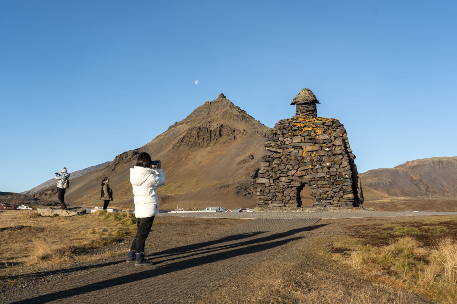
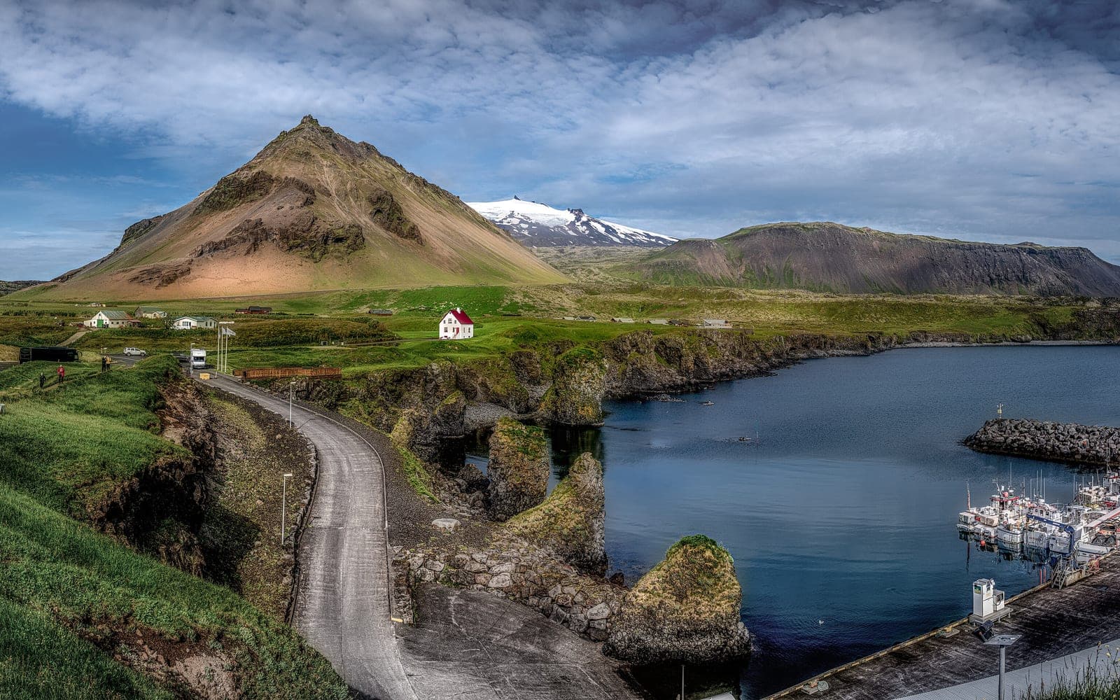
The pin marks Arnarstapi Cliff Parking near Bárður's monument. Choose a defined coastal walk. The park gives about 2.5 km and 45 minutes each way to Hellnar; a return walk uses the full 90-minute allowance before breaks.
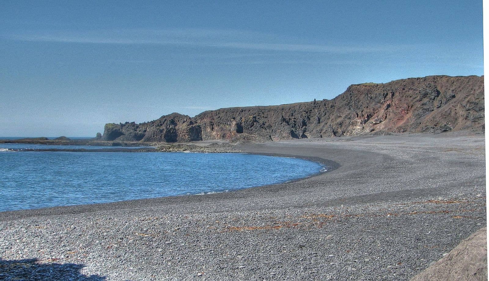
The pin marks Djúpalónssandur visitor parking at the end of the access road. Follow current park payment instructions, use marked paths and keep away from the surf. Allow for the walk down and back.
Skip when: roads are poor; wind or surf is severe; Kirkjufell timing matters more
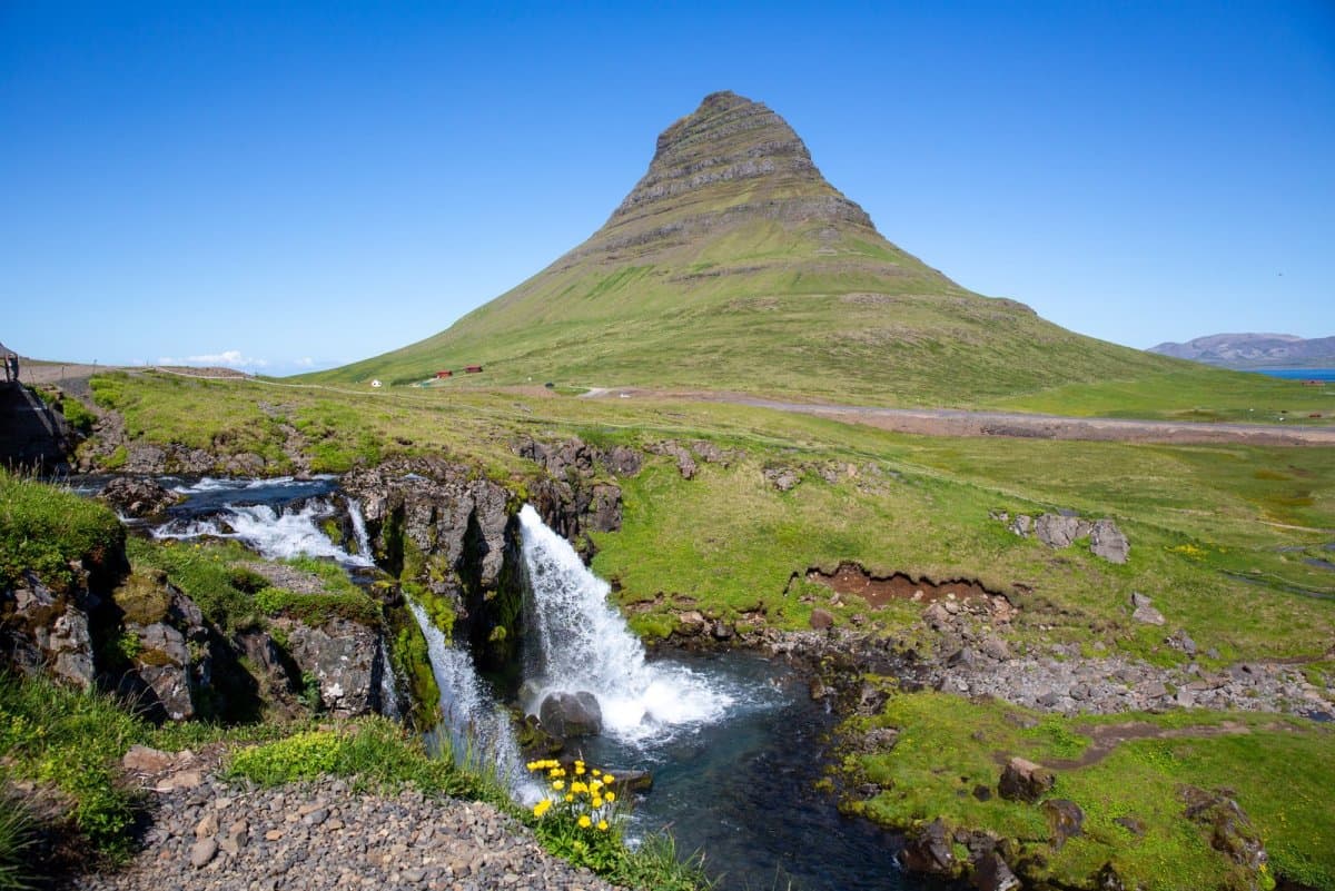
The pin marks Kirkjufellsfoss visitor parking for the mountain view and waterfall paths. This visit is not a mountain climb. Climbing Kirkjufell is prohibited in winter; respect current path closures and allow parking and walking time.
Wind, snow and short daylight can make Routes 54 and 574 slower than a saved map suggests. Check the official source.
Route overview
Locate the stops
Lines show the stop sequence, not the roads to drive. The ordered stops remain available without loading the map.
The map shows visitor parking and bases. Follow Route 574 around the western coast, then Route 54; navigation can suggest the seasonal 570 or F575 mountain roads instead. Check the complete road sequence and current conditions before driving.
Interactive map loads only when requested
This keeps the route guide fast while the complete stop sequence stays visible.
Summer travelers who want a highlights loop and can leave early
Long driving day, fewer walks, weak backup if weather slows the route
One night on Snæfellsnes
Most first-time self-drive travelers adding west Iceland
Still requires prioritizing, but removes the worst backtracking
Two nights on Snæfellsnes
Photographers, families, winter trips, and slower Ring Road finishers
Costs an extra night that may be better used elsewhere on a short trip
Ring Road add-on
Longer trips ending in west or north Iceland
Works best when you do not arrive tired after a major transfer day
If you only have one day, pick a direction and a short list: Búðir or Arnarstapi/Hellnar, one national park stop, Kirkjufell, and one town or bay viewpoint. Do not build the day around every beach, lighthouse, cave, crater, church, and photo stop.
One-day Snæfellsnes plans leave little room when road or weather conditions slow the loop.
The route order that creates the least backtracking
From Reykjavík, the cleanest sequence is Route 1 to Borgarnes, Route 54 onto the peninsula, the south-coast stops first, Route 574 around the national park, then Kirkjufell and the north-coast return.
Start in Reykjavík or Borgarnes, then use Route 54 as the practical approach road.
Make the south coast your first decision zone: Búðir, Arnarstapi/Hellnar, and nearby coastal stops.
Use Snæfellsjökull National Park as the western hinge of the route, not as a reason to chase every side road.
Continue to the north coast for Kirkjufell and Grundarfjörður when light and weather still make the stop worthwhile.
Finish through Stykkishólmur or return toward Borgarnes depending on your next overnight.
If you arrive from the Ring Road or north Iceland, reverse the logic: approach through the north side, use Kirkjufell and Grundarfjörður early, then decide whether the western and south-coast sections deserve the rest of the day.
The north coast works best when it is part of a planned loop, not a late-day afterthought.
From Djúpalónssandur to the north coast, stay on the coastal Route 574 before joining Route 54. Vegagerðin also lists similarly short alternatives over Jökulháls on Route 570 or via F575. Those are mountain-road choices with separate vehicle and seasonal limits, not shortcuts within this coastal plan.
Where to stay on the peninsula
Choose the overnight by the route problem you are trying to solve, not by a generic list of towns.
Base choices that change the road trip.
Base area
Best use
Watch for
Grundarfjörður
Kirkjufell, north-coast timing, and a balanced one-night loop
Small-town supply and lodging choices can be limited in busy periods
Breiðafjörður context, ferry handoff, and a slower north-coast finish
Less convenient if your main focus is the south-coast cliff and national park area
Arnarstapi or Hellnar area
South-coast walks, Snæfellsjökull views, and a slower national park day
Can make the north-coast finish longer the next morning
Borgarnes
A lower-commitment west Iceland base before or after the peninsula
Still leaves a substantial drive if you want the full loop
Reykjavík
Only for a long day trip in good conditions
Creates the most backtracking and the least weather margin
Stykkishólmur changes the route when Breiðafjörður or a slower north-coast finish matters.
How much driving this route creates
The hard part is not only distance; it is the combination of approach time, exposed coastal roads, frequent pull-offs, and the temptation to stop every few minutes.
Drive pressure checks
Approach time
Reykjavík to the peninsula already uses a meaningful part of the day before sightseeing begins.
Stop density
The route feels rushed when every viewpoint becomes mandatory.
Road exposure
Coastal wind, winter ice, and low visibility can slow otherwise simple roads.
Recovery space
One overnight gives you a way to move stops across two days instead of abandoning the plan.
The displayed route totals 314 km and 4 hr 45 min of estimated driving from Reykjavík through the listed peninsula stops to Stykkishólmur. Neither sightseeing time nor the return to Reykjavík is included. For a day trip, add that return journey before deciding what fits; for an overnight route, leave time for it on your departure day. Conditions can make every stage slower.
The listed visits add about 3 hr 20 min to 6 hr 15 min. Together with driving, that is roughly 8 hr 5 min to 11 hours before meals, queues and delays. Spread the longer visits over the overnight route, or cut stops. The two-night choice uses the same modeled legs; its daily time setting is not a promise to fit every visit into one day.
Frequent scenic pull-offs are part of the drive pressure on Snæfellsnes.
What changes in winter or bad weather
Winter and high-wind days do not automatically rule out Snæfellsnes, but they change the route from a highlights loop into a conservative driving decision.
Reduce fixed stops before you leave, not after you are already behind schedule.
Check Umferðin for road notifications and surface conditions on the morning you drive.
Check SafeTravel and the Icelandic Met Office for travel alerts, wind, visibility, and weather warnings.
Avoid treating glacier approach roads or far-west side roads as default winter choices.
Keep a short version of the route ready: one south-coast stop, one national park viewpoint, and Kirkjufell only if conditions support it.
Winter can make Snæfellsnes memorable, but it also makes current-condition checks more important.
Before you book the route
Book the parts that protect the shape of the road trip, then leave the exact stop list flexible.
Confirm whether you are planning a day trip, one-night route, or two-night route before choosing accommodation.
Place the overnight near the route anchor that matters most: Kirkjufell, the national park, Stykkishólmur, or Borgarnes.
Check official road and weather sources close to departure, especially from autumn through spring.
If you plan a guided cave, glacier, ferry, or boat activity, verify current operator details directly before locking the surrounding drive.
Keep your final stop list shorter than the map makes it look.
Snæfellsjökull National Park introduced a service fee collected through parking in August 2026. One payment is valid throughout the national park until midnight that day. Use Parka or the signed payment instructions and check the current vehicle tariff. This park payment does not cover every independently managed attraction on the peninsula, including Kirkjufellsfoss.
Before booking every stop, check which exposed coastal sections still make sense for the day.
When to choose a different route
Choose a different route when Snæfellsnes would make the trip less realistic rather than more complete.
Choose this instead
When it is smarter
Golden Circle route
You have one easy route day from Reykjavík and want less drive exposure.
Ring Road itinerary
You have 10 or more days and want a countrywide loop rather than a west Iceland side route.
Driving in Iceland guide
You are unsure whether self-drive is right for your season, confidence, or route scope.
Best time to visit Iceland
Your main uncertainty is season, daylight, and road access rather than Snæfellsnes itself.
The right call is not always to add Snæfellsnes. On a short first trip, a cleaner South Iceland or Golden Circle plan can produce a better trip than a westbound detour added because the map looks close.
Frequently asked questions
Can you do Snæfellsnes as a day trip from Reykjavík?
Yes, but it is a long route day and works best in summer or settled shoulder-season weather. Keep the stop list short and leave early.
How many nights should I spend on Snæfellsnes?
One night is the best default for most road trips because it reduces backtracking while still keeping the wider Iceland route efficient.
Do I need a 4x4 for the Snæfellsnes Peninsula?
Not for the main summer route on Route 54 and Route 574, but winter conditions and conditional side roads can change the vehicle decision. Check current road conditions before driving.
Which direction should I drive around Snæfellsnes?
From Reykjavík, drive the south side first and return through the north coast if your overnight and weather support it. From the Ring Road north, reverse that order.
Where is the best place to stay for Kirkjufell?
Grundarfjörður is the most practical base for Kirkjufell because it sits close to the mountain and the north-coast route.
Should I add Snæfellsnes to a 7-day Iceland trip?
Only add Snæfellsnes to a 7-day trip if you are willing to reduce time elsewhere. It competes directly with South Coast depth and extra Ring Road ambitions.