Dramatic Iceland mountain landscape with red-roofed huts under cloudy skies

Places to see

Iceland Attractions

Compare the places that shape Iceland routes, from quick scenic stops to sights that decide the shape of a whole day.

Useful for

landmarksroute anchorsscenic stopsphoto planning

All place guides

Find sights worth building into your route.

Search and filter attraction pages and visual collections without mixing in route or region hubs.

What do you want to see?

Browse
Browse all optionsChoose attraction type

Where?

Route level

Browse
Browse all optionsChoose route cluster

Trip style

Browse
Browse all optionsChoose travel style
Steam drifting over a dark Eldvörp crater row on the Reykjanes Peninsula.

Eldvörp

Eldvörp is a steaming crater row and lava-field area northwest of Grindavík on Reykjanes, worth adding only when access, volcanic alerts, weather, and a slower peninsula route all make sense.

Reykjanes crater row · Geothermal steam · Rough access check · Lava-field walk
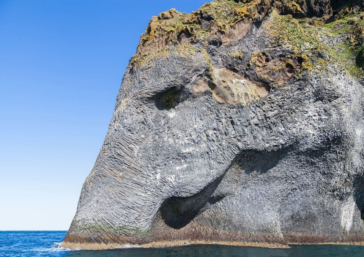
Elephant Rock on Heimaey seen from the water, with grey basalt grooves forming the eye and trunk shape.

Elephant Rock

Elephant Rock is a basalt sea cliff on Heimaey in the Westman Islands, worth planning for if a boat view or island day already fits your South Coast trip.

Basalt sea cliff · Westman Islands · Boat-view landmark · South Coast add-on
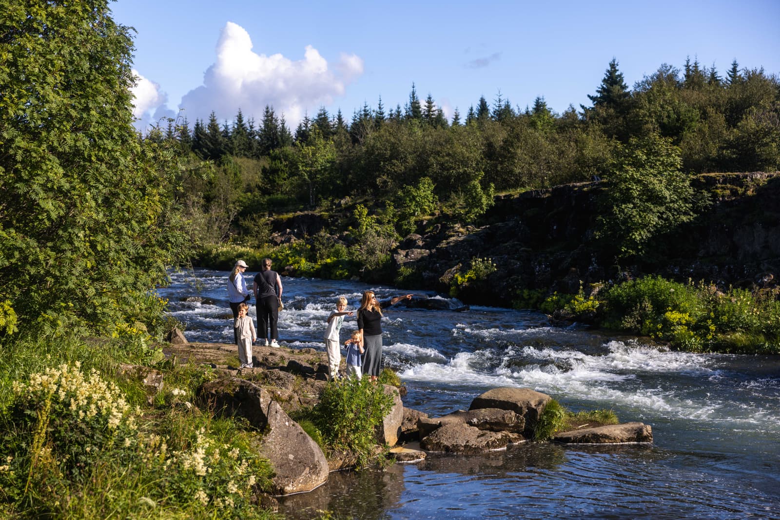
Elliðaá river flowing through green Elliðaárdalur with visitors standing near the water in Reykjavík.

Elliðaá

Elliðaá is Reykjavík’s salmon river and green-valley corridor, useful when you want an easy nature walk inside the capital instead of another downtown landmark or a long day-trip detour.

Reykjavík · River walk · City nature
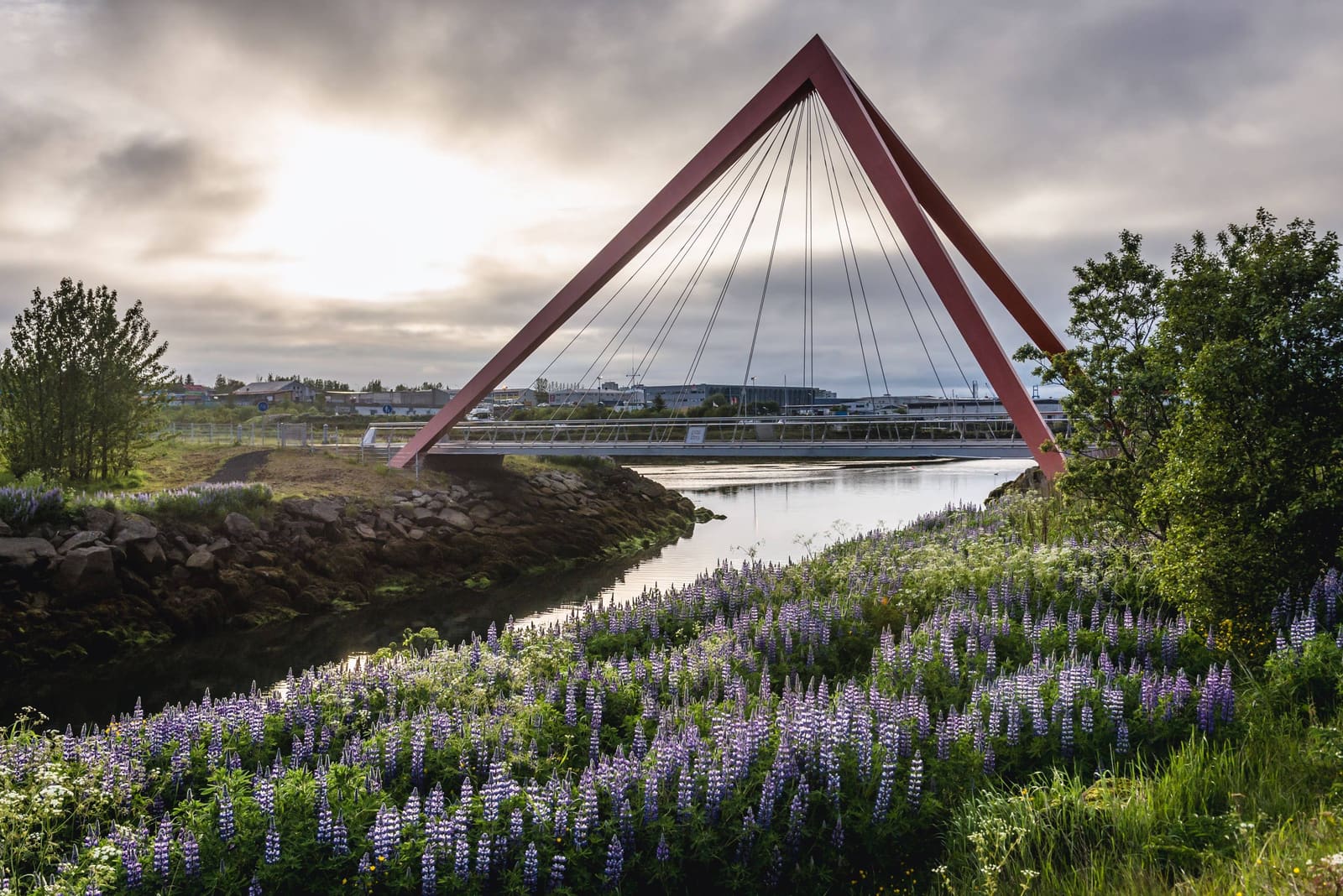
Pedestrian and cycling bridge over the Elliðaá river in Elliðaárdalur Valley

Elliðaárdalur Valley

Elliðaárdalur Valley is Reykjavík’s easy river-valley nature break, with Elliðaá, Kermóafoss, wooded walking and cycling paths, wildlife, hydropower history, and a useful pause minutes from the city’s main sightseeing loop.

Reykjavík river valley · Walk, bike, waterfall · Easy city nature
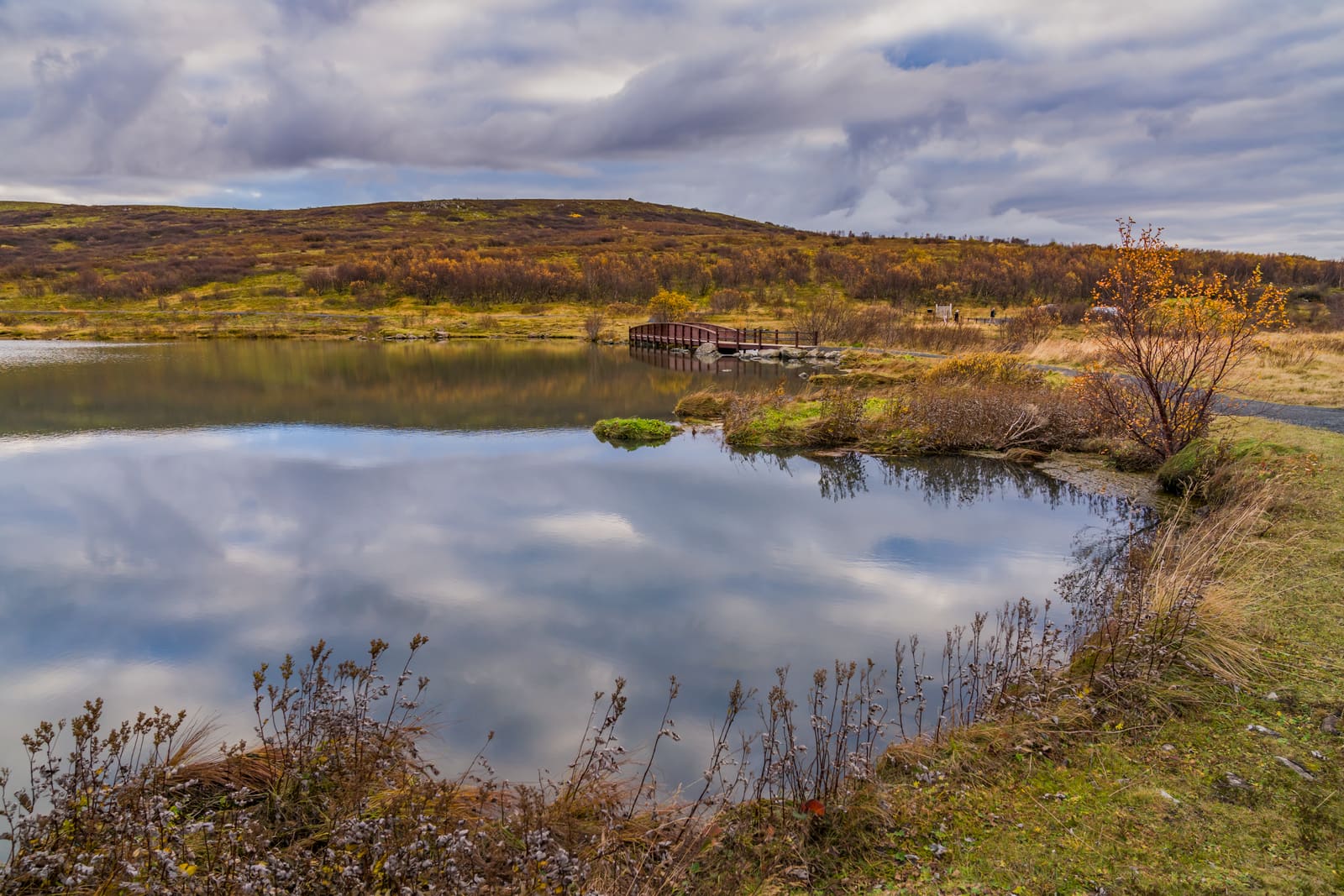
Elliðavatn lake with calm water, low shoreline, and a path near Reykjavík.

Elliðavatn

Elliðavatn is a quiet lake on Reykjavík's southeast edge, best for travelers who want a soft nature break, Heiðmörk pairing, or birdlife stop without treating it as a major detour.

Reykjavík lake · Heiðmörk edge · Quiet nature stop
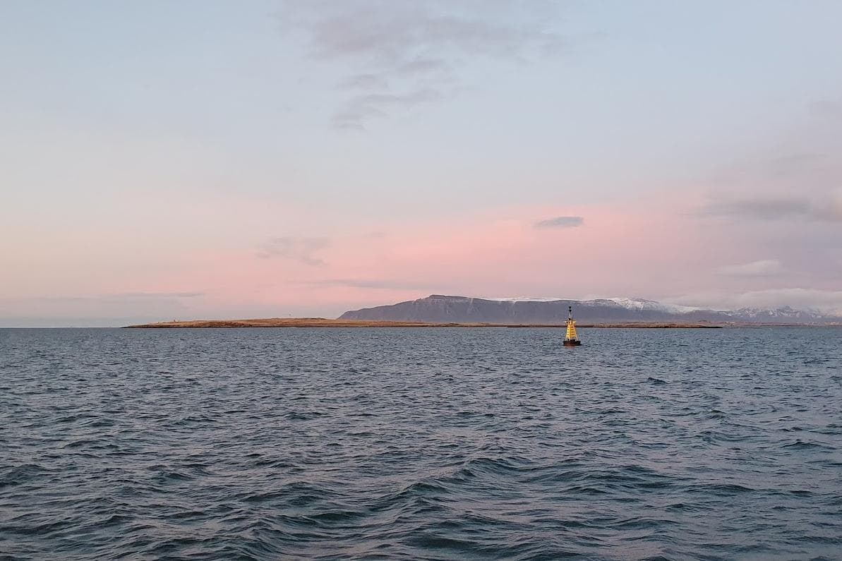
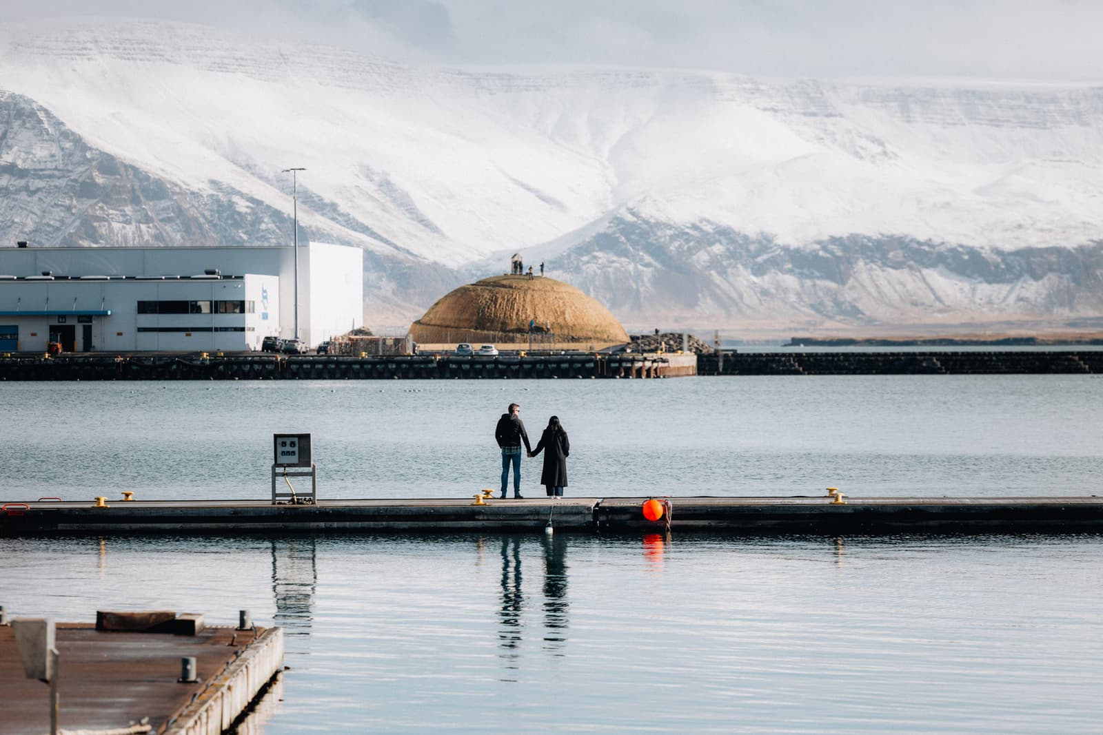
Engey island across Faxaflói water with Mount Esja behind it near Reykjavík

Engey

Engey is a low bird and heritage island in Kollafjörður near Reykjavík, best considered as a respectful boat-distance wildlife and history view rather than a walkable city stop.

Reykjavík bay island · Birdlife and heritage · 1-2 hours
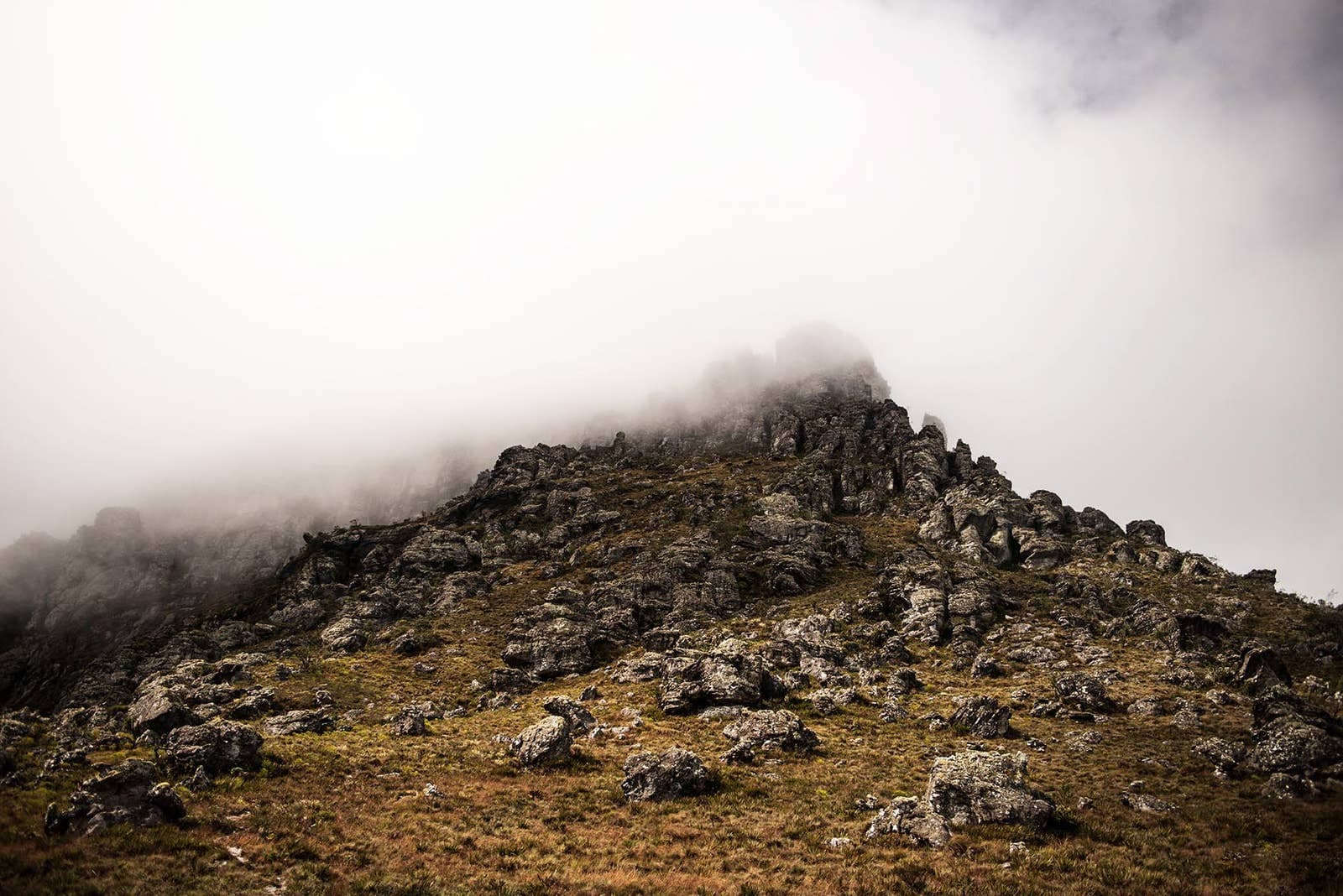
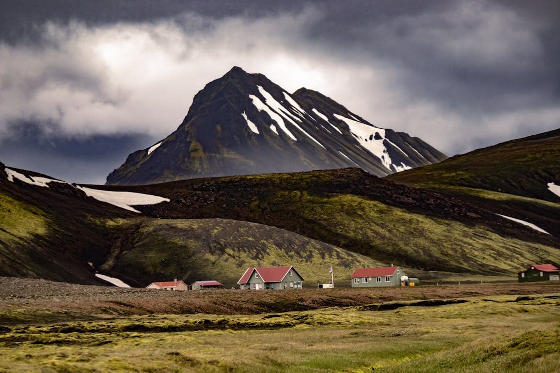
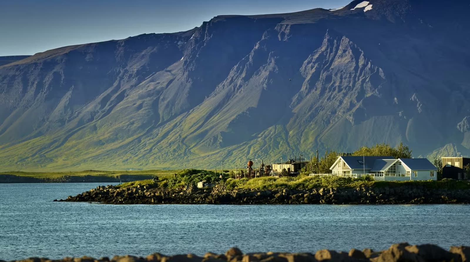
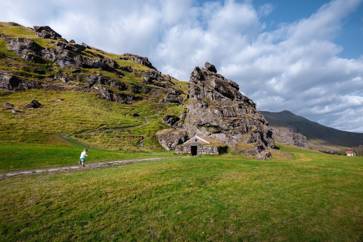
Dramatic Iceland mountain landscape with red-roofed huts under cloudy skies

Englandshverir Hot Spring

Englandshverir Hot Spring helps experienced West Iceland travelers understand a small, unmarked geothermal area in Lundarreykjadalur without treating it as a guaranteed bathing stop, facility, or must-see attraction.

Remote hot spring · Lundarreykjadalur · West Iceland
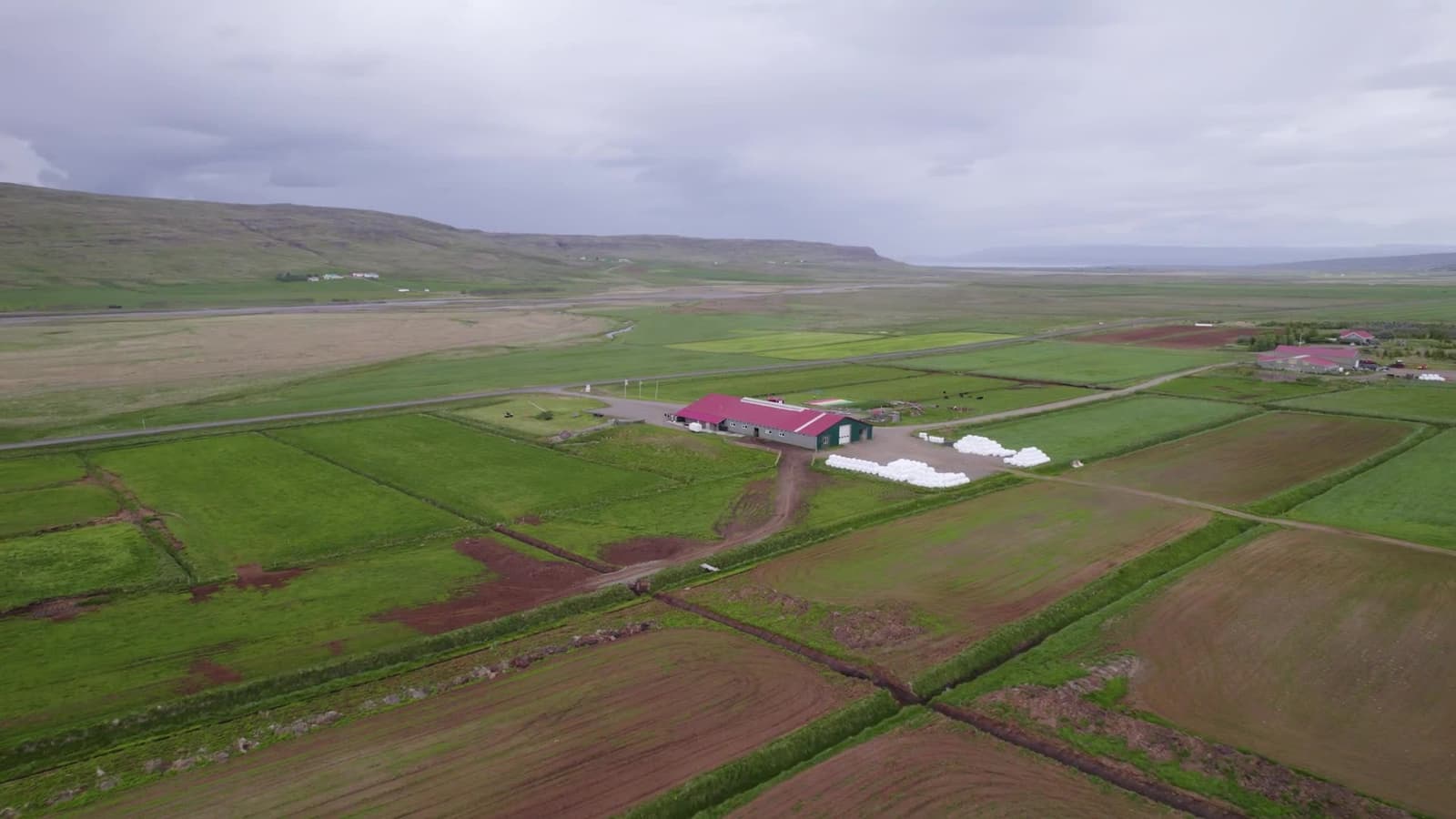
Aerial view of Erpsstaðir farm and creamery in the green West Iceland valley.

Erpsstaðir

Erpsstaðir is a West Iceland dairy farm and creamery near Búðardalur, worth a stop when Route 60 needs a short food-and-farm pause, but easiest to keep flexible until visitor details line up.

Creamery stop · West Iceland · Route 60
Esjan and the Kjalarnes shoreline north of Reykjavík in clear daylight.

Esjan

Esjan is Reykjavík's signature mountain hike, rising across Faxaflói in the capital area. Visit when you want a real trail, big city-and-bay views, and enough weather, daylight, and energy to turn back before conditions outgrow the plan.

Reykjavík area · Mountain hike · Weather-sensitive
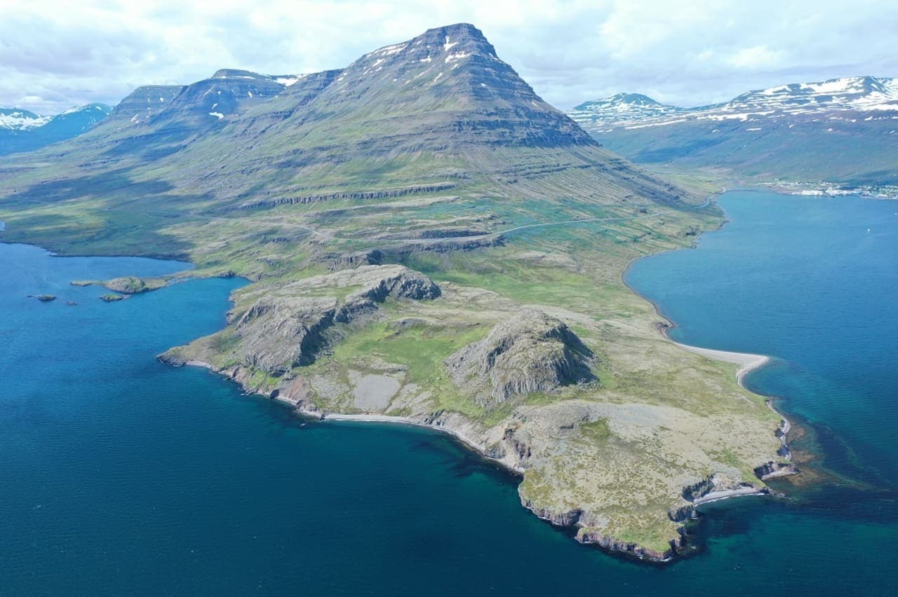
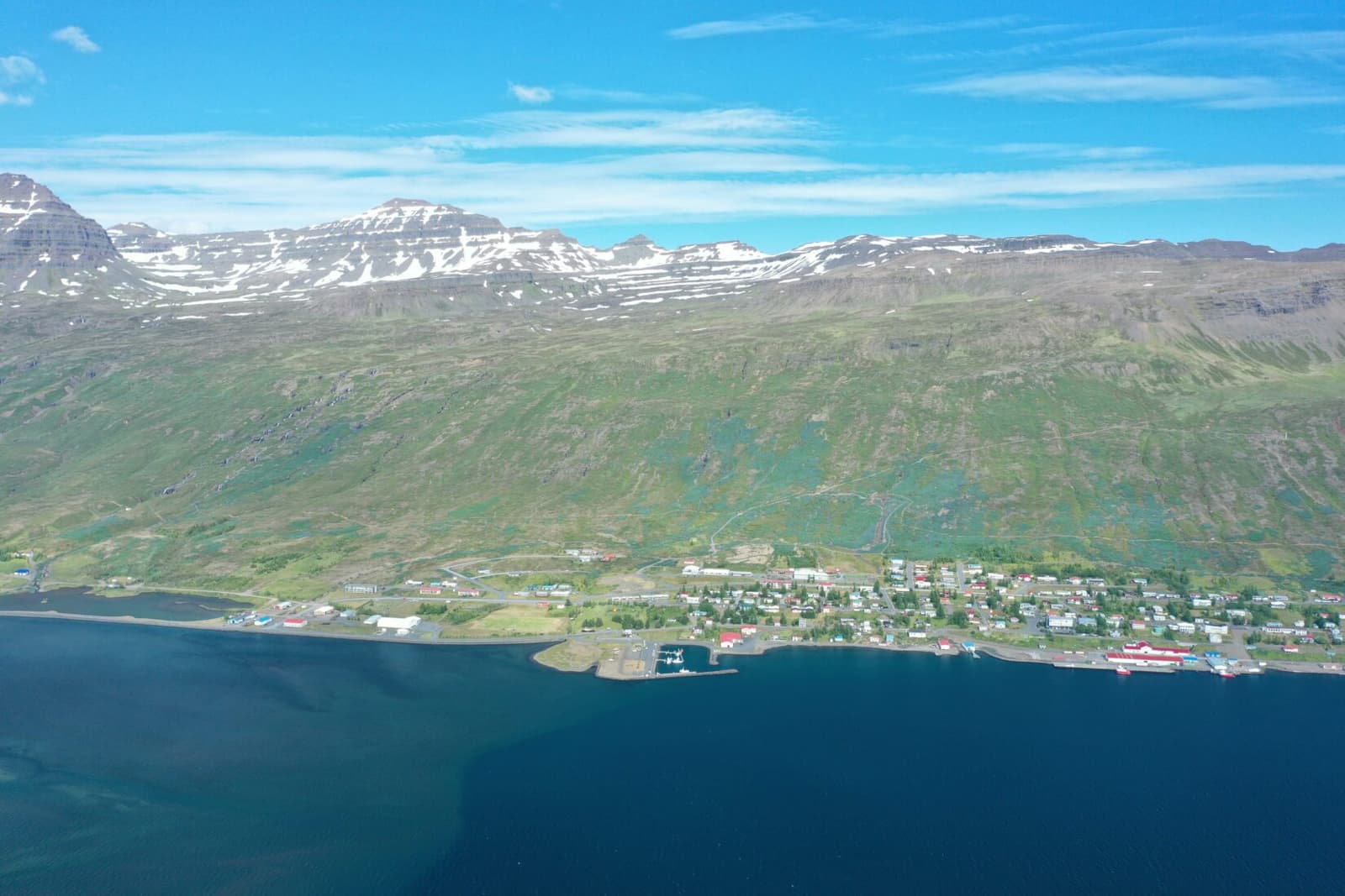
Aerial view of Eskifjörður fjord, Hólmatindur mountain, and the Eastfjords shoreline.

Eskifjörður

Eskifjörður is a small Eastfjords harbor town below Hólmatindur, useful as a slower Ring Road detour, short fjord stop, or base for nearby walks, maritime history, and coastal viewpoints.

Eastfjords harbor town · Ring Road detour · Hólmatindur views
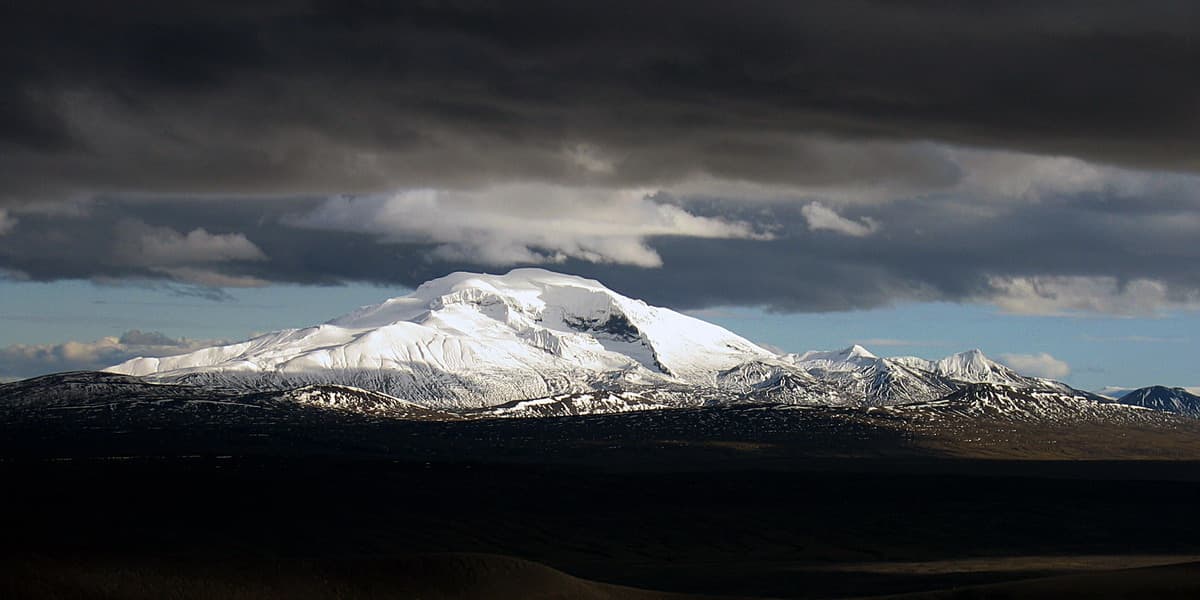
Eyjabakkajökull glacier under dark clouds in the remote East Iceland highlands.

Eyjabakkajökull

Eyjabakkajökull is a remote outlet glacier on Vatnajökull’s northeast side, best considered when an East Highlands route already includes Snæfell, Eyjabakkar, flexible road checks, and a taste for stark glacier margins.

East Iceland glacier · Remote highland stop · Snæfell and Eyjabakkar
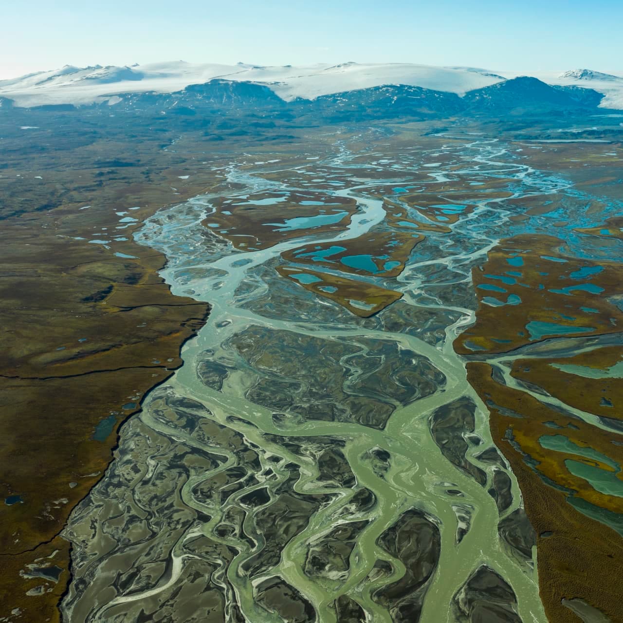
Aerial view of braided glacial water and wetland ponds across Eyjabakkar in East Iceland.

Eyjabakkar

Eyjabakkar is a remote East Iceland wetland near Snæfell and Vatnajökull, worth planning only when birdlife, highland scale, flexible access checks, and a slower inland route strengthen your trip.

East Iceland wetland · Highland detour · Birdlife and Snæfell
Eyjafjallajökull glacier-capped volcano above the South Iceland landscape.

Eyjafjallajökull

Eyjafjallajökull is the glacier-capped South Coast volcano made famous by the 2010 eruption; visit for route context and views, but treat glacier or summit access as serious guided terrain.

Glacier-volcano · South Iceland · South Coast
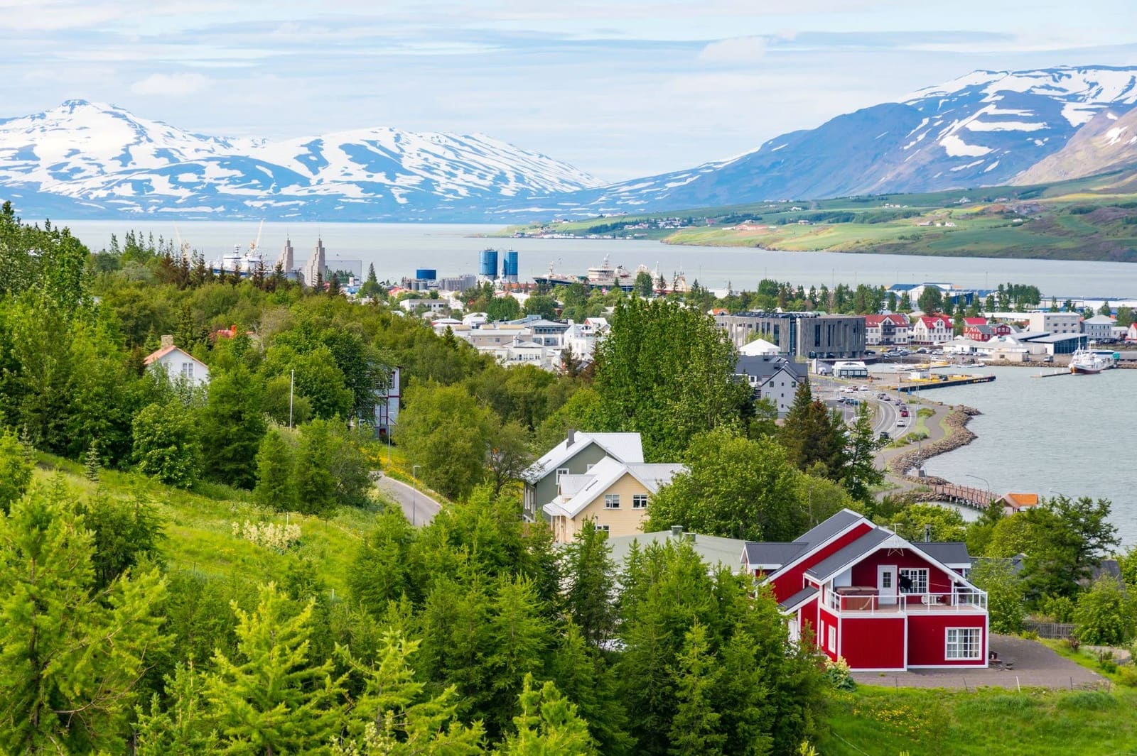
Eyjafjörður seen from Akureyri with fjord water and mountains framing the town.

Eyjafjörður

Eyjafjörður is North Iceland’s long fjord around Akureyri, best for travelers who want a slower base area with island ferries, fishing villages, birdlife, whale watching, and Arctic Coast Way scenery.

North Iceland · Fjord area · Akureyri base · Wildlife and islands
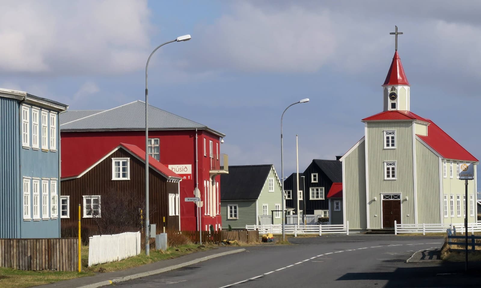
Colorful historic houses and Eyrarbakki church along a quiet village street in South Iceland.

Eyrarbakki

Eyrarbakki is a small South Iceland coastal village near Selfoss, worth adding when you want preserved houses, Húsið, shoreline atmosphere, and a slower cultural pause rather than another major scenic detour.

South Iceland village · Húsið and old houses · Coast-road pause · Near Selfoss
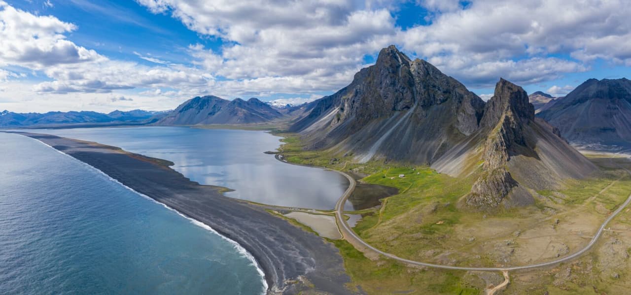
Aerial view of Eystrahorn, the black Hvalnes shoreline, and the curve of the coast on Iceland's southeast edge.

Eystrahorn

Eystrahorn is a jagged gabbro mountain beside Hvalnes in southeast Iceland, worth adding when a Ring Road day between Höfn and Djúpivogur has clear visibility and enough slack for a short coastal stop.

Hvalnes mountain stop · Near Höfn · Short Ring Road photo pause
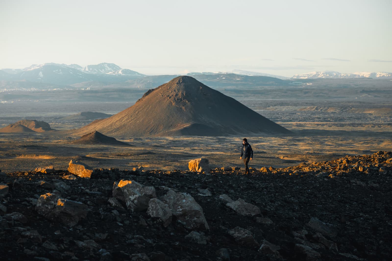
Hiker above a dark Fagradalsfjall cone and lava fields on the Reykjanes Peninsula.

Fagradalsfjall

Fagradalsfjall is Reykjanes's best-known volcano hike, worth the effort when you want recent lava terrain, wide peninsula views, and enough time for a long exposed walk rather than a quick roadside stop.

Volcano hike · Reykjanes Peninsula · Half day to full day
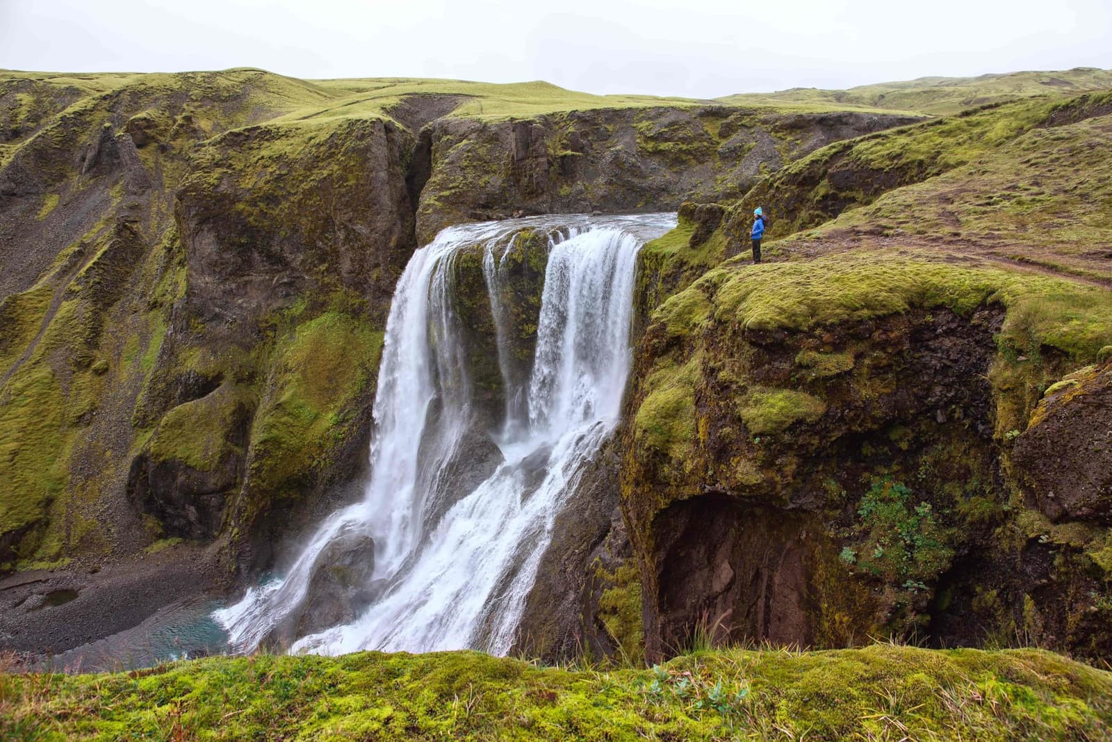
Fagrifoss waterfall dropping into a mossy canyon beside the F206 highland road in South Iceland.

Fagrifoss

Fagrifoss is a remote waterfall near the F206 road toward Lakagígar, worth adding when vehicle choice, Highland conditions, time margins, and South Iceland route plans all make the rough detour realistic.

Highlands waterfall · F206 access · Near Lakagígar
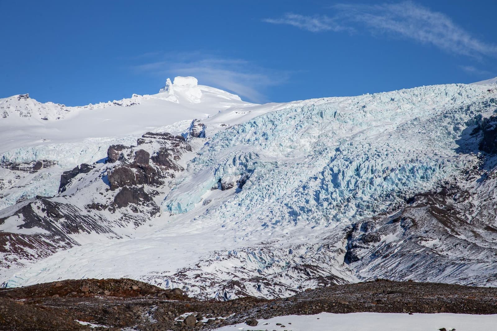
Wide winter view of Falljökull Glacier descending from Öræfajökull in southeast Iceland.

Falljökull Glacier

Falljökull is a dramatic outlet glacier above Skaftafell in southeast Iceland, worth planning when you want close glacier scale but need to separate safe viewpoints from guided ice access.

South Iceland · Outlet glacier · Skaftafell area
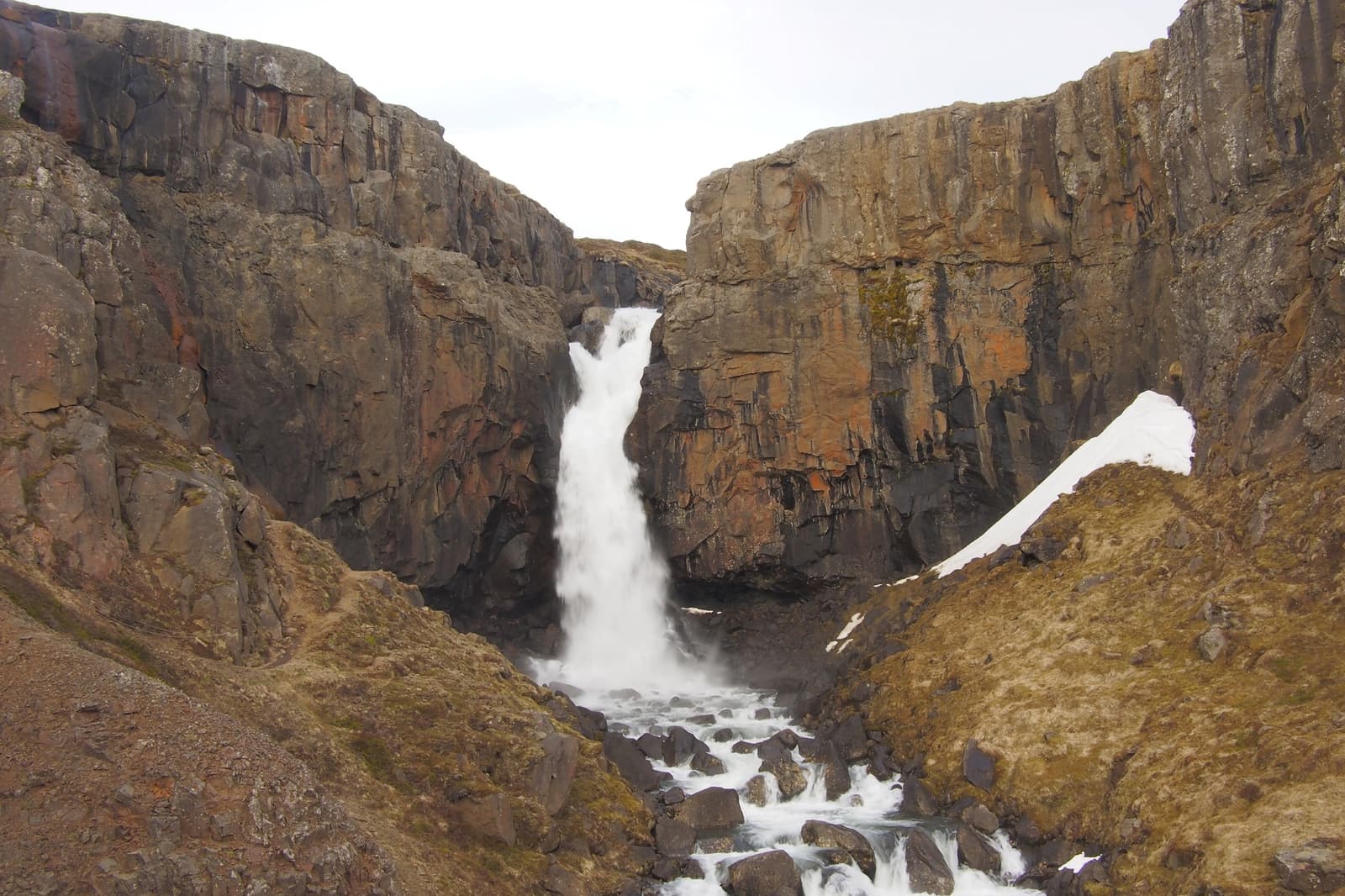
Fardagafoss Waterfall dropping through a rocky ravine near Egilsstaðir in East Iceland.

Fardagafoss Waterfall

Fardagafoss Waterfall is a short but more committed hike above Egilsstaðir in East Iceland, worth adding when you want a close-up ravine waterfall with cave-behind lore, valley views, and enough margin for uneven ground, weather, and careful footing.

East Iceland waterfall hike · Near Egilsstaðir · Cave-behind lore
Aerial view of Fáskrúðsfjörður village, harbor, fjord water, and steep Eastfjords mountains.

Fáskrúðsfjörður

Fáskrúðsfjörður is a small French-heritage village on an Eastfjords fjord, worth a stop when your Ring Road plan has time for harbor views, cultural context, and a slower coastal pause.

Eastfjords French town · Fjord harbor stop · Ring Road slow pause
Whale watching boat on Faxaflói Bay with open water and mountains beyond Reykjavík.

Faxaflói

Faxaflói is the broad bay facing Reykjavík and West Iceland, useful for whale watching, harbour walks, Grótta views, Akranes pairings, and understanding how the capital connects to the Snæfellsnes coast.

Bay and waterfront area · Reykjavík and West Iceland · Best as a flexible coastal or wildlife add-on
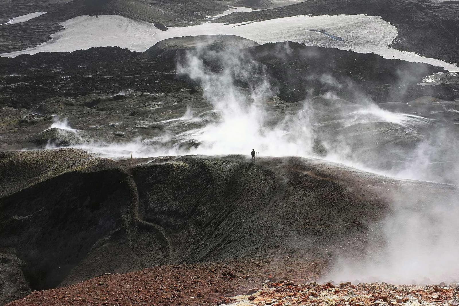
A lone hiker on the steaming volcanic pass of Fimmvörðuháls between snowy glacier edges.

Fimmvörðuháls

Fimmvörðuháls is a high mountain pass between Skógafoss and Þórsmörk, worth planning when you want a serious South Coast hike and can solve weather, transport, time, and gear before committing.

Mountain pass · South Coast · Serious hike
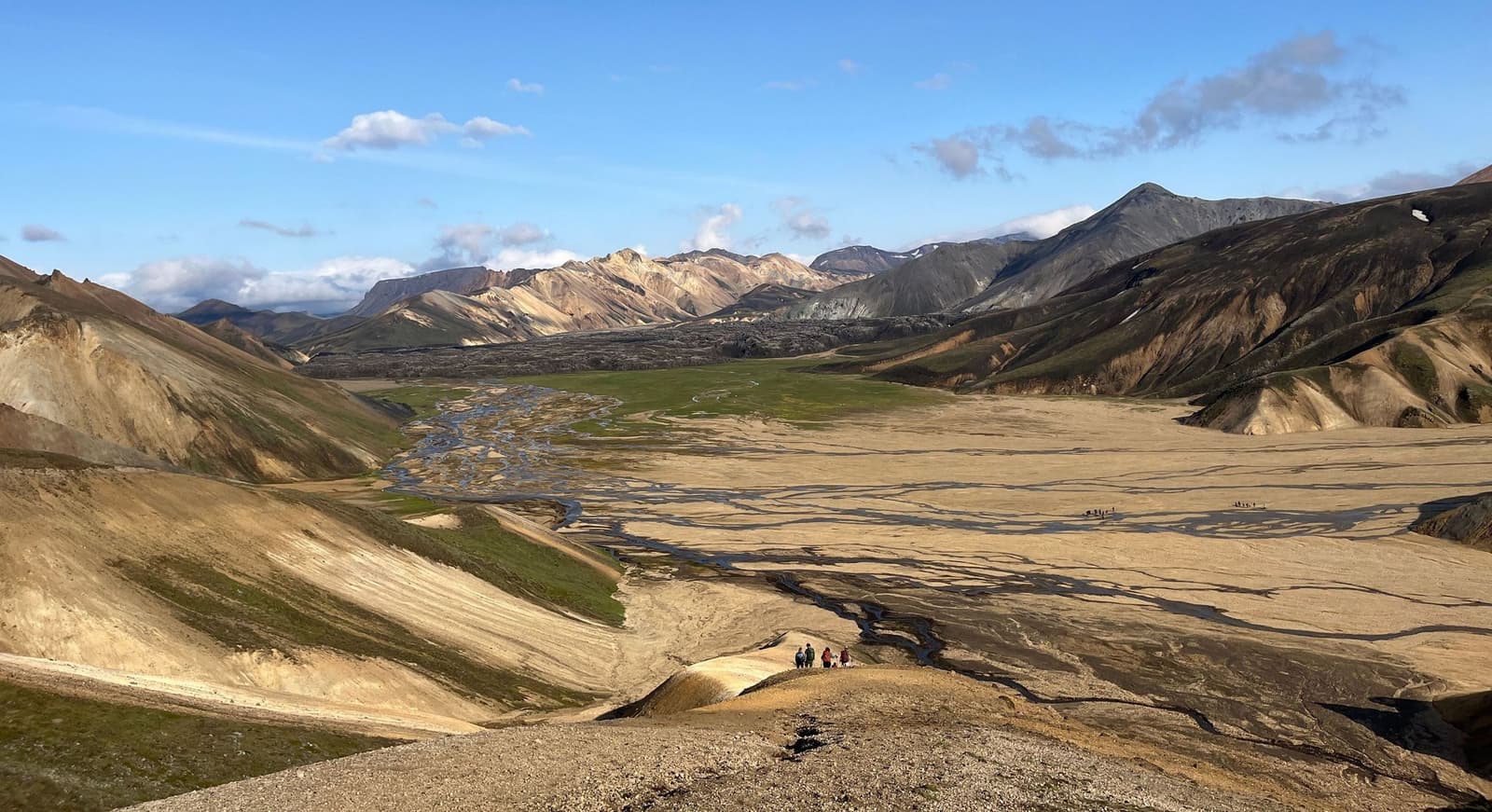
Hikers above Vondugiljaaurar with braided sand, rhyolite mountains, and lava inside Fjallabak Nature Reserve.

Fjallabak

Fjallabak is a protected Highland nature reserve behind South Iceland, where colorful rhyolite valleys, lakes, lava, and F-roads reward prepared travelers who can choose between a focused Landmannalaugar visit and a slower interior day.

Highlands reserve · F-road access · Rhyolite valleys

217240 of 780 attractions

Page 10 of 33

Build a trip around the places you want to see.

Once the sights are clear, use planning pages to turn them into a route with realistic timing.