Quick guide
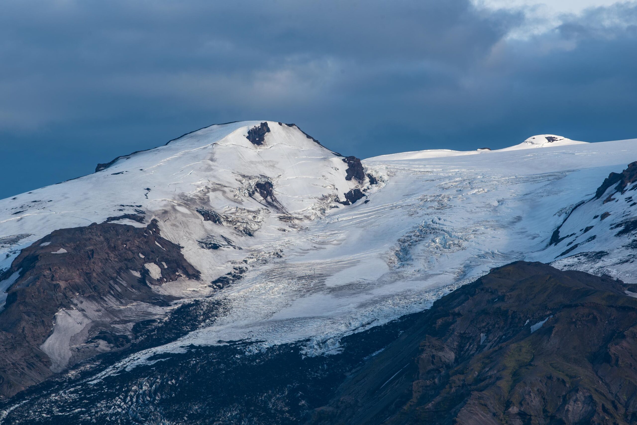
- Type
- Glacier-capped volcano, mountain, and South Coast landmark
- Region
- South Iceland, north of Skógar and west of Mýrdalsjökull
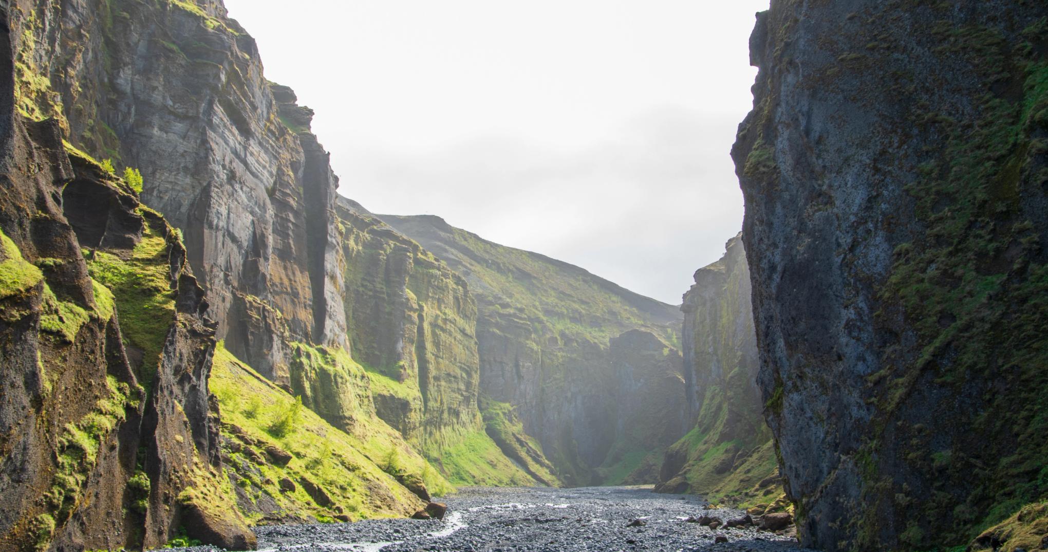
- Route context
- South Coast and Ring Road scenery between Seljalandsfoss, Skógafoss, and Vík-area stops
- Time to allow
- 10-30 minutes for viewpoint context; longer only with a specific guided or high-clearance plan
- Best experience
- Use clear-weather views, eruption history, and nearby stops to make the landscape more meaningful
- Access reality
- Most visitors see the ice cap from roads and nearby stops; glacier or summit travel is serious terrain
- Season note
- Visible year-round when weather cooperates; summer gives easier regional access and longer daylight
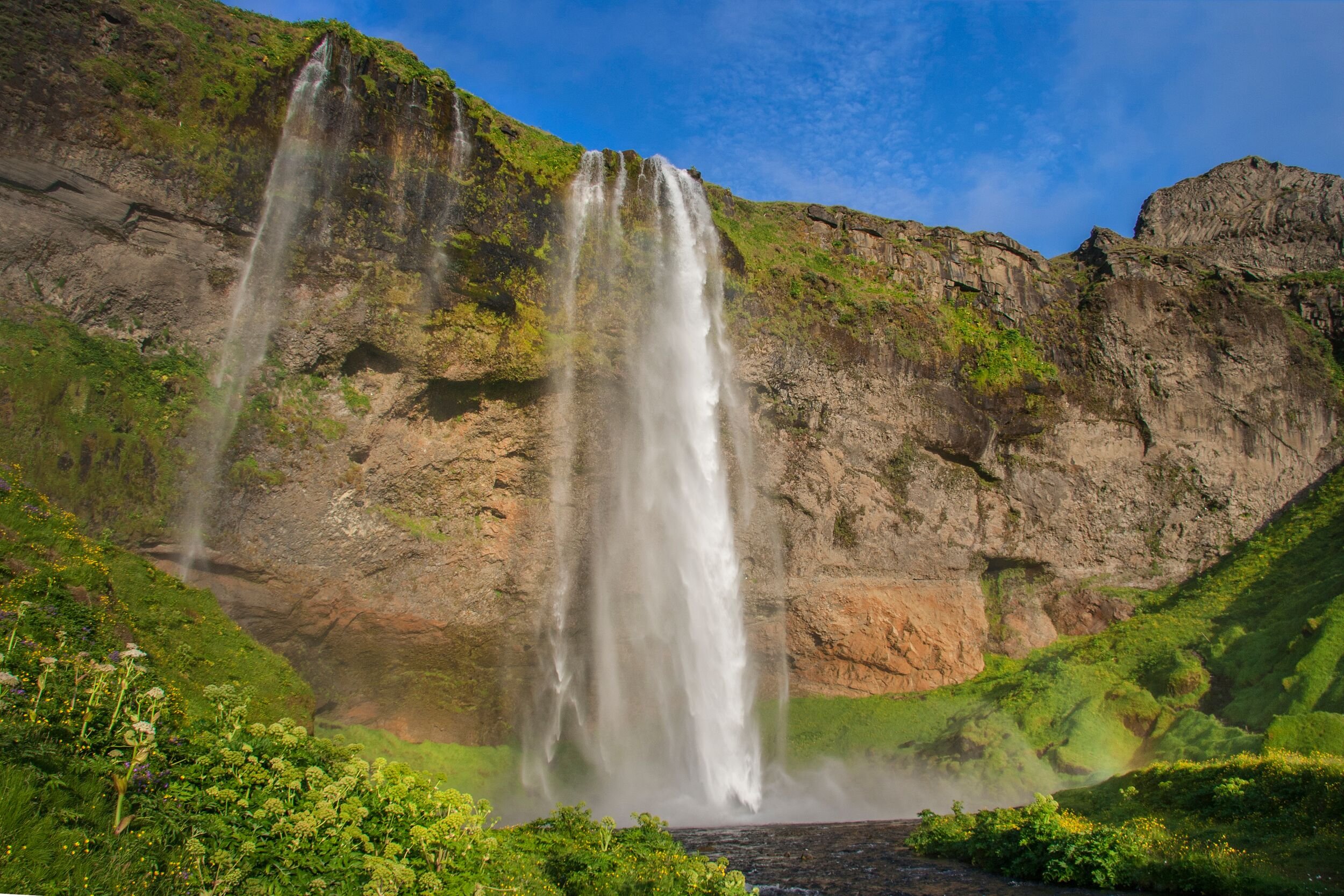
- Nearby pairings
- Seljalandsfoss, Skógafoss, Kvernufoss, Þórsmörk-side valleys, Dyrhólaey, and Reynisfjara
- Before you go
- Check weather, road conditions, SafeTravel glacier guidance, and any official volcanic updates before going beyond roadside views