Eyjabakkajökull is a remote outlet glacier on Vatnajökull’s northeast side, best considered when an East Highlands route already includes Snæfell, Eyjabakkar, flexible road checks, and a taste for stark glacier margins.
Glacier facts
Type
Remote outlet glacier, moraine landscape, and East Highlands natural feature
Region
East Iceland, on the northeastern side of Vatnajökull near Snæfell and Eyjabakkar
Route role
Best as part of a deliberate Snæfell or Eyjabakkar highland day, not as a casual Ring Road pullout
Time to allow
Treat nearby viewing as a short-to-moderate stop; deeper glacier-edge hiking belongs in a slower highland plan
Best experience
Clear visibility, enough daylight, conservative terrain choices, and a backup if road or weather checks argue against the detour
In this guide
Is Eyjabakkajökull worth adding?
Yes, but only when your East Iceland plan already has room for a remote highland glacier margin and you are prepared to let conditions shape the day.
Eyjabakkajökull is not the glacier stop most first-time visitors picture. It is a stark outlet glacier on the northeast side of Vatnajökull, reached through a wider highland context where Snæfell, Eyjabakkar, gravel, visibility, and weather matter as much as the ice itself.
Add Eyjabakkajökull when the trip already has a slow East Iceland day around Snæfell or Eyjabakkar. Skip it for a fast Ring Road transfer, a South Coast glacier activity plan, or any group that needs predictable services and simple access.
Choose the Eyjabakkajökull version that fits the day
Visit style
Use it when
What to decide
Highland look
You are already near Snæfell or Eyjabakkar and want glacier context without turning the day into an expedition.
Keep the stop conservative and let visibility decide how much time it deserves.
Glacier-margin focus
The route has space for remote terrain, meltwater, moraines, and a slower pace.
Check whether the group is prepared for rough ground and limited margin for improvising.
Skip or save
The day is a transfer, the forecast is poor, or the main goal is an easy glacier experience.
Choose a clearer East Iceland stop or a more accessible glacier page instead.
Photo guide
Eyjabakkajökull in photos
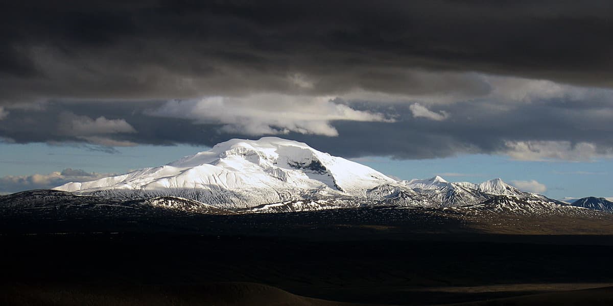
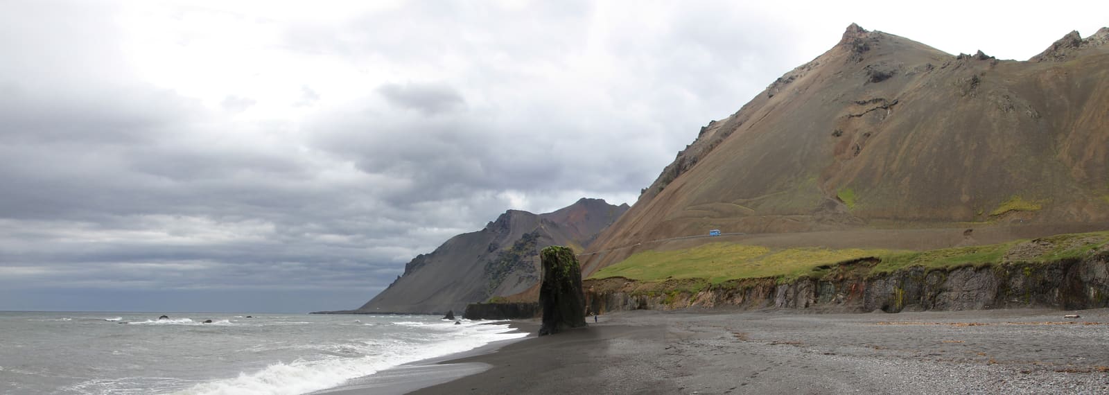
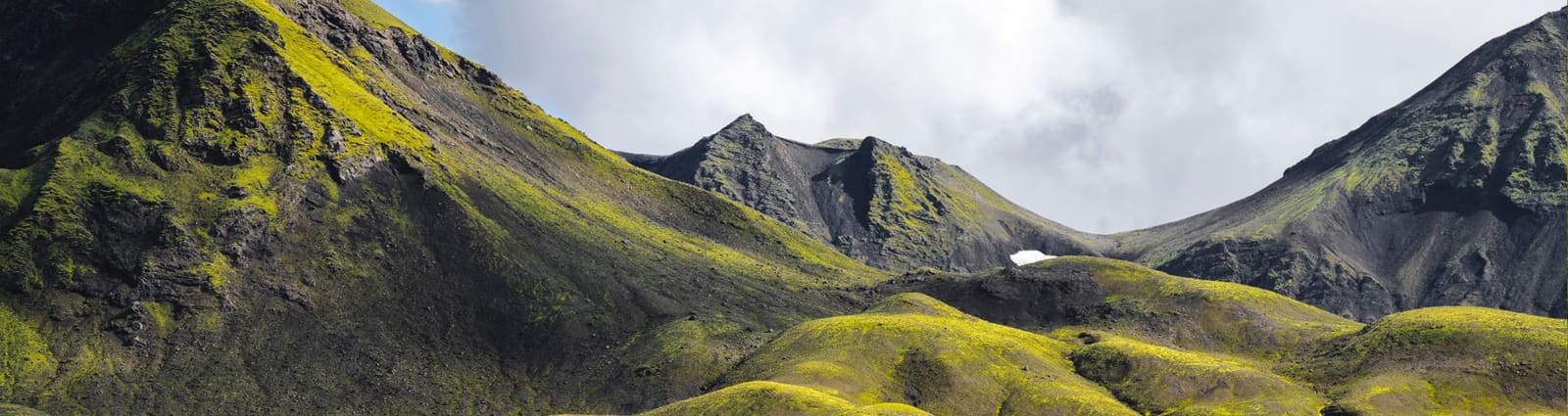
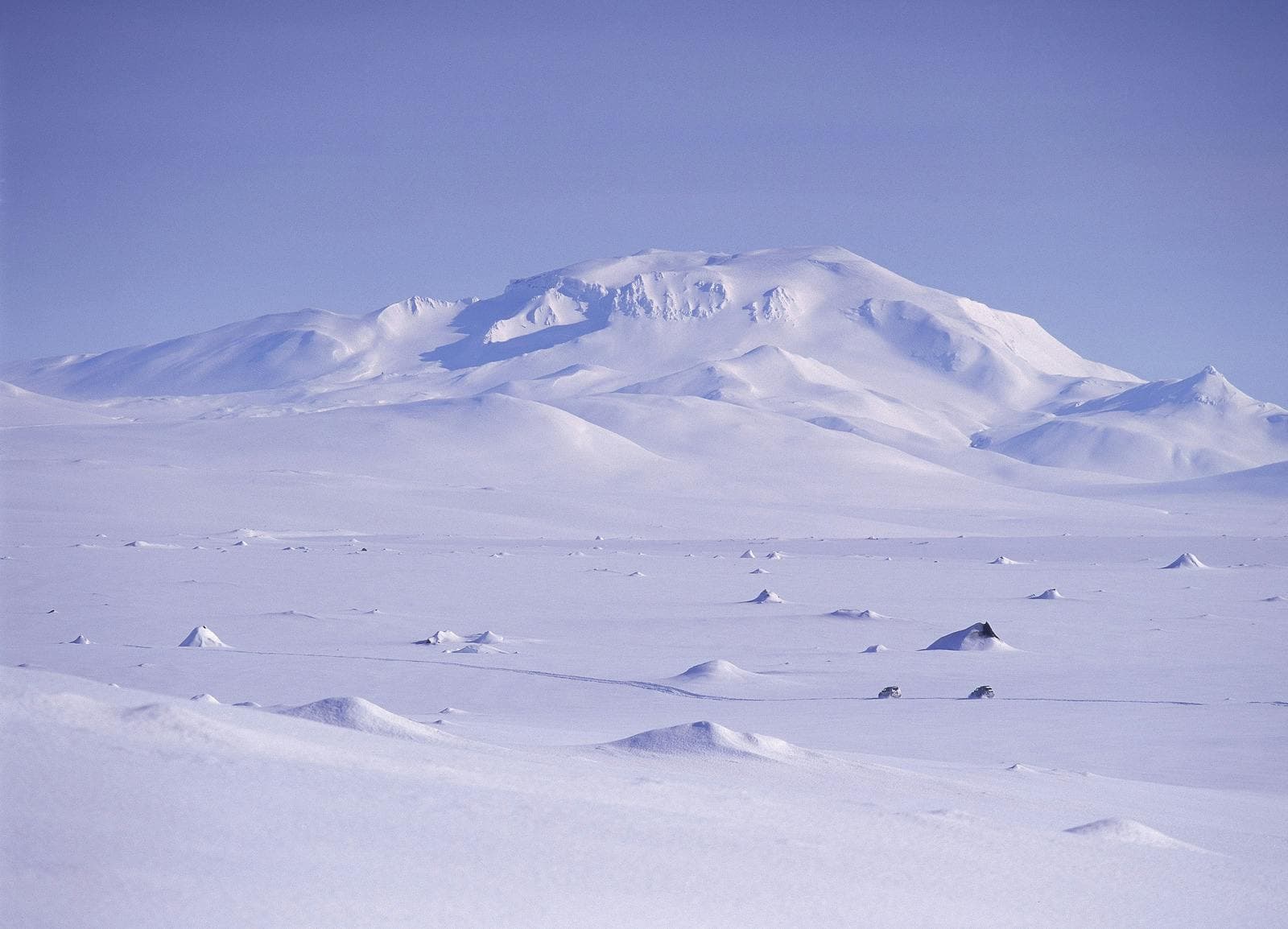
Wide views show why visibility and weather matter so much in this part of the East Highlands.
What kind of glacier is Eyjabakkajökull?
Eyjabakkajökull is an outlet glacier of Vatnajökull, known more for surge history, moraines, meltwater, and remote highland scale than for visitor infrastructure.
The glacier sits in the rough northeastern Vatnajökull landscape, near the Snæfell highlands and the Eyjabakkar wetlands. Instead of a polished overlook, the visual story is ice pressing into dark gravel, pale meltwater channels, folded moraine ridges, and a wide landscape that can feel empty even by Iceland standards.
That is why the stop pairs more naturally with Eyjabakkar than with Iceland’s easier glacier-lagoon or guided ice-walk experiences. Eyjabakkar gives the wetland and birdlife side of the same highland system; Eyjabakkajökull gives the colder, sharper glacier-margin side.
Moraine ridges and meltwater make Eyjabakkajökull feel more like a landscape-study stop than a classic viewpoint.
What does the glacier-edge visit feel like?
The visit feels exposed, quiet, and rough-edged, with weather, ground, and meltwater deciding how close and how long the stop should be.
On a good day, the reward is scale: grey ice, black moraine, cold water, and the sense that Vatnajökull is spilling into an inland wilderness rather than presenting itself from a roadside platform. On a poor-visibility day, much of that reward can vanish.
Do not plan this as a casual walk onto ice. Glacier margins can include unstable surfaces, fast water, loose slopes, and soft sediment. If your trip needs a predictable glacier activity, choose a guided glacier experience elsewhere and keep Eyjabakkajökull as landscape context.
Close views of the glacier edge are rough, exposed, and shaped by meltwater rather than by built sightseeing infrastructure.
How should you fit it into East Iceland?
Build Eyjabakkajökull around the wider East Highlands decision first, then decide whether the glacier adds more value than easier nearby stops.
The strongest pairing is Snæfell plus Eyjabakkar, with Eyjabakkajökull treated as the glacier edge that explains the harsher side of the landscape. Kárahnjúkavirkjun can also make sense when your day is already focused on inland East Iceland scale.
If the trip is built around the Eastfjords, Seyðisfjörður, or lower-elevation scenery, be strict. Eyjabakkajökull should earn its place by making the day more coherent, not by adding a remote name to an already full map.
Best nearby pairings
Snæfell
Use Snæfell when the day needs a stronger mountain anchor before deciding how much glacier-margin time to add.
Eyjabakkar
Pair Eyjabakkar with Eyjabakkajökull when you want wetland, birdlife, meltwater, and glacier context in one slow highland plan.
Kárahnjúkavirkjun
Use Kárahnjúkavirkjun when the day is already about inland East Iceland scale and engineered highland landscapes.
East Iceland
Use East Iceland planning to decide whether this remote detour deserves space over fjord towns and easier scenic stops.
Check official road, weather, safety, and protected-area sources before treating Eyjabakkajökull as fixed in the itinerary
Check official road, weather, safety, and protected-area sources before treating Eyjabakkajökull as fixed in the itinerary.
Remote glacier margins can make maps look simpler than the day feels. Road surface, visibility, river channels, wet ground, and wind can all change whether this is a sensible detour.
Use official road conditions before committing to the inland approach.
Use official weather guidance for wind, visibility, and warnings in exposed terrain.
Use SafeTravel before building a highland day around rough-road confidence.
Respect protected-area signs, wetland boundaries, and wildlife distance around the Snæfell and Eyjabakkar landscape.
Keep a backup that still gives the day value if the glacier margin is not the right choice.
For many travelers, the better decision is to enjoy the East Highlands from a safer, clearer viewpoint and save close glacier terrain for a guided setting elsewhere. That is not a downgrade; it is often the difference between a strong Iceland day and a brittle one.
Eyjabakkajökull FAQ
Use these answers to decide whether Eyjabakkajökull fits your actual trip, not just your map.
Is Eyjabakkajökull an easy glacier stop?
No. Treat Eyjabakkajökull as a remote highland glacier-margin stop, not an easy roadside glacier or a guided ice activity.
Can I pair Eyjabakkajökull with Eyjabakkar?
Yes, if road, weather, and time checks support a slow East Highlands day. Eyjabakkar gives the wetland context, while Eyjabakkajökull gives the glacier-margin context.
Is Eyjabakkajökull worth it on a first Iceland trip?
Usually not unless your first trip already includes a flexible East Iceland highland segment. Most first trips get better value from more accessible glacier and waterfall stops.
What is the main reason to visit Eyjabakkajökull?
The main reason is remote glacier scale: ice, moraines, meltwater, and the feeling of Vatnajökull meeting the East Highlands.