Quick guide
- Type
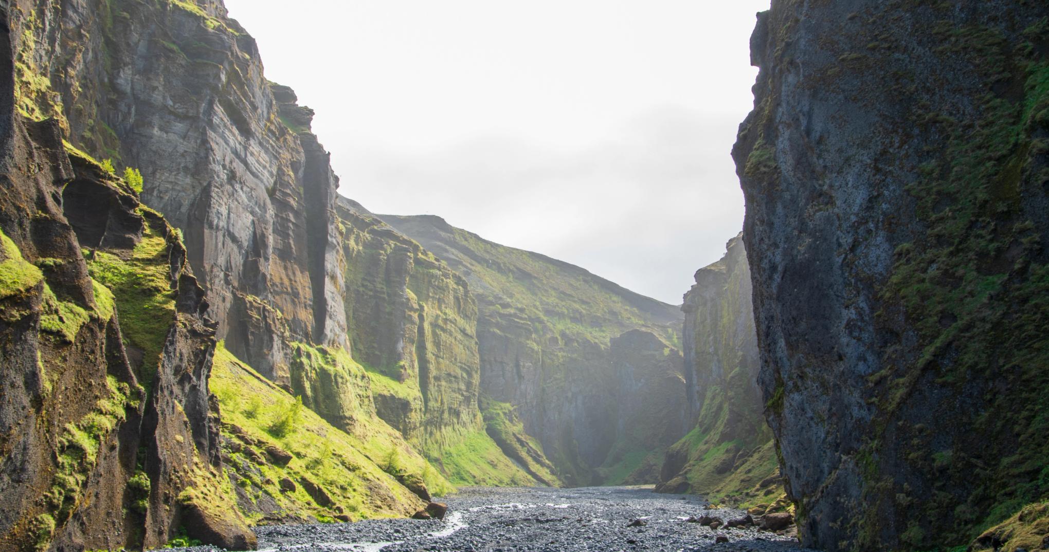
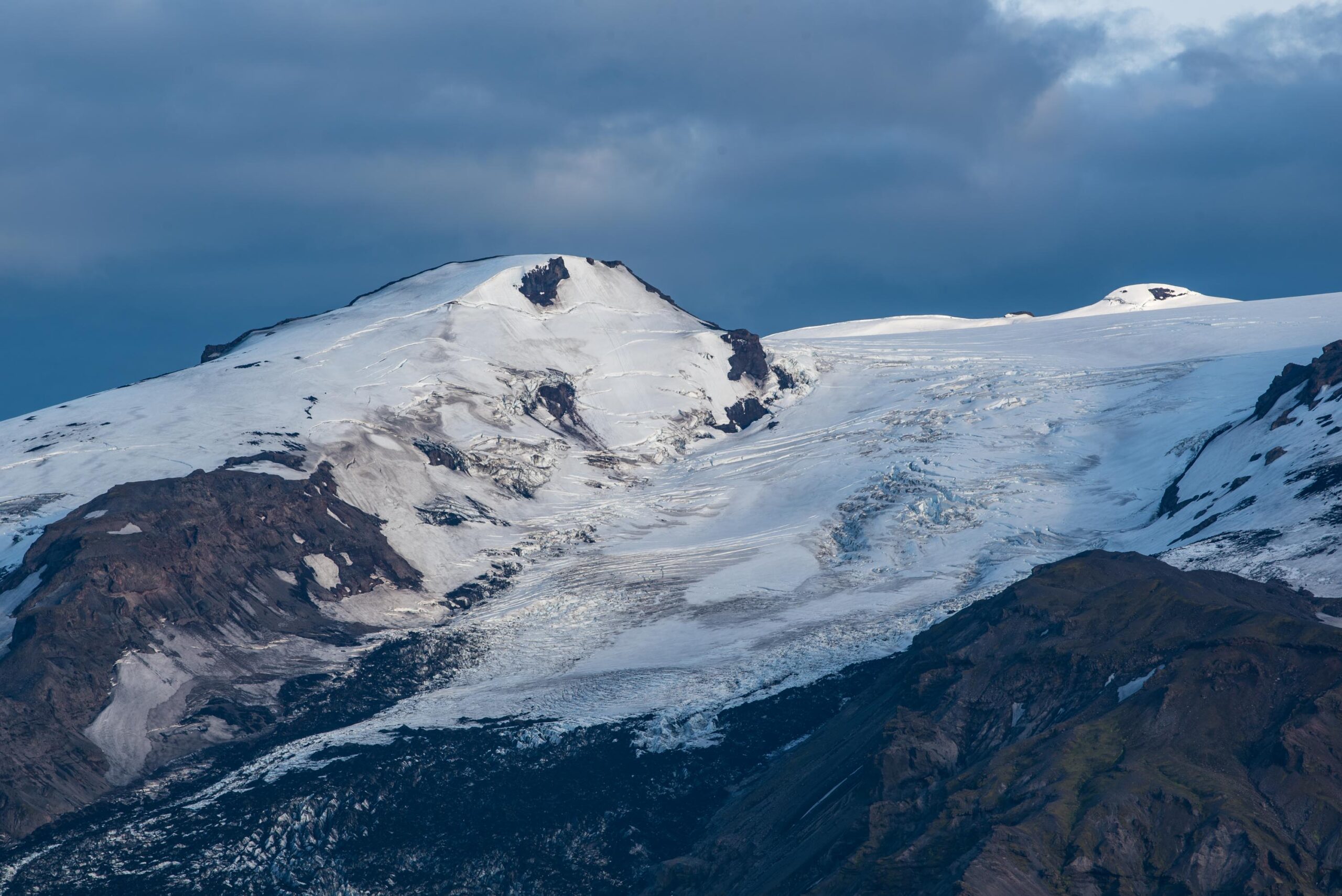
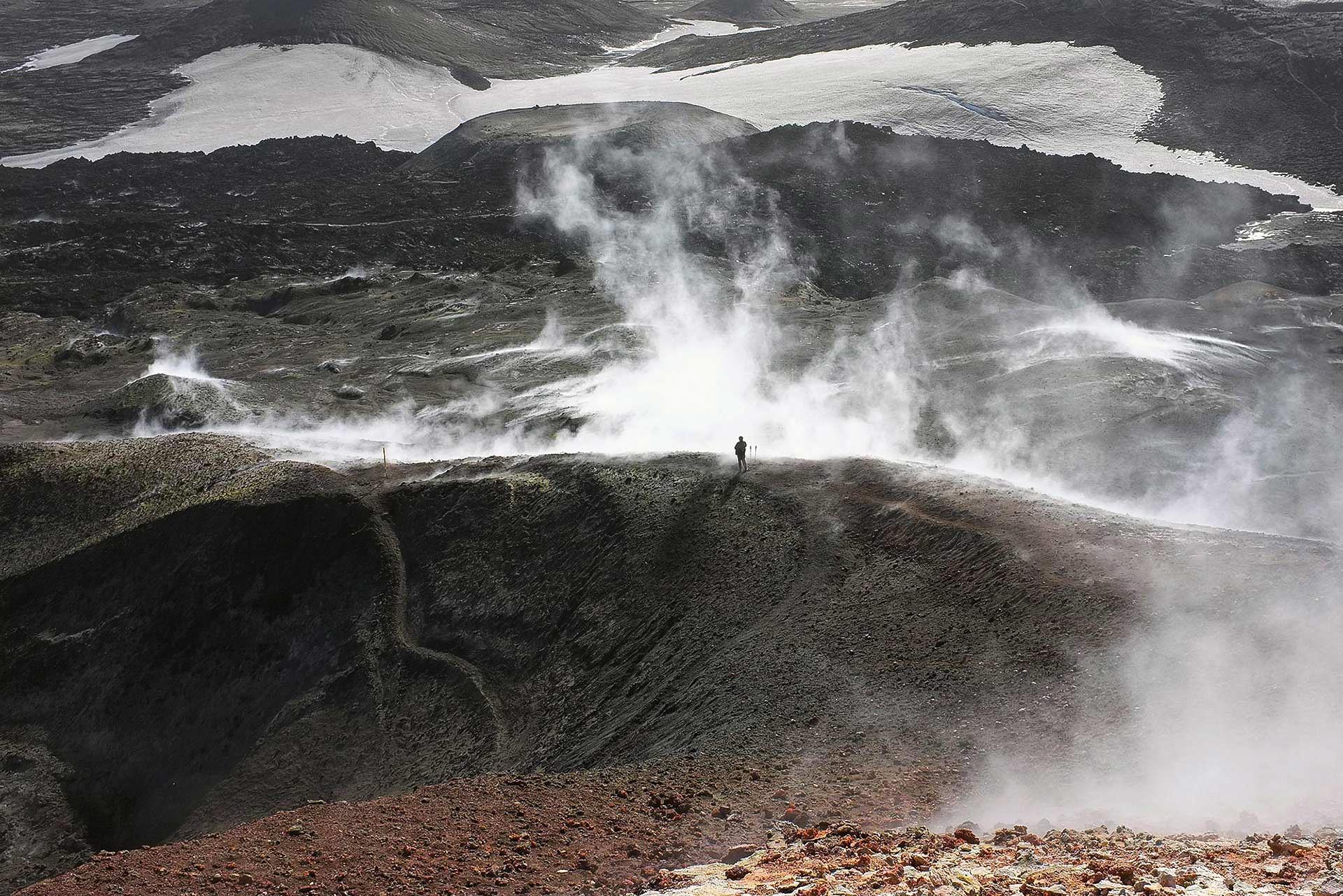
- Mountain pass, long hiking route, volcanic landscape, waterfall route, and glacier-view terrain
- Region
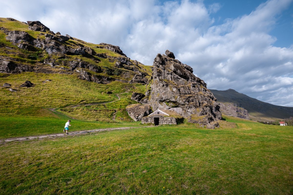
- South Iceland, linking Skógar by Skógafoss with Þórsmörk
- Route context
- A South Coast hiking objective, not a quick Ring Road stop
- Time to allow
- Full day for the crossing; 1-2 days if using hut or overnight logistics
- Best experience
- Treat the route as the main plan, with Skógafoss or Þórsmörk as anchors rather than add-ons
- Access reality
- Point-to-point logistics matter; check official safety, weather, road, hut, and transport details before committing
- Season context
- Most independent visitor plans belong in summer, while snow, wind, fog, and rapid weather changes still matter
- Nearby pairings
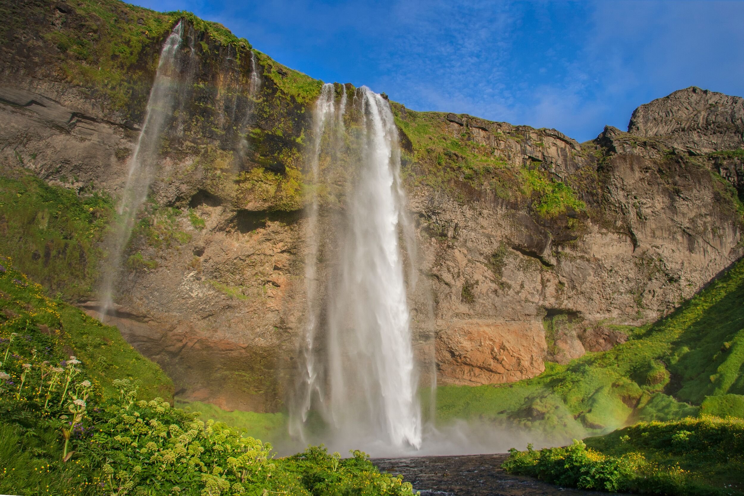
- Skógafoss, Þórsmörk, Stakkholtsgjá, Gígjökull, Eyjafjallajökull, Seljalandsfoss, and Kvernufoss
- Main caution
- This page is planning guidance, not live trail, hut, road, bus, or weather confirmation