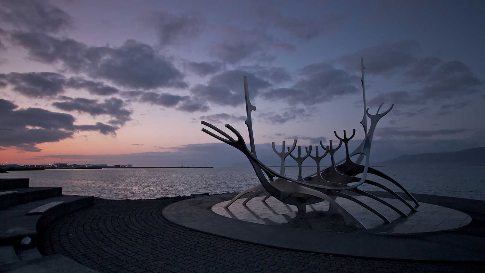
Faxaflói is Iceland's largest bay, stretching between the Reykjanes and Snæfellsnes peninsulas. Reykjavík's waterfront, Grótta, whale-watching waters and the ports of Akranes and Borgarnes are different windows onto the same broad coastal system.
Area snapshot
Geography
Iceland's largest bay, between Reykjanes and Snæfellsnes
City edge
Reykjavík's Old Harbour, Grandi and Seltjarnarnes meet the inner bay
Wildlife
Feeding waters for whales and dolphins, with seabird islands near Reykjavík
Working coast
Ports in Reykjavík, Akranes, Grundartangi and Borgarnes
In this guide
Faxaflói is Iceland's largest bay
The bay lies between the Reykjanes and Snæfellsnes peninsulas, with Reykjavík on its inner southeast shore.
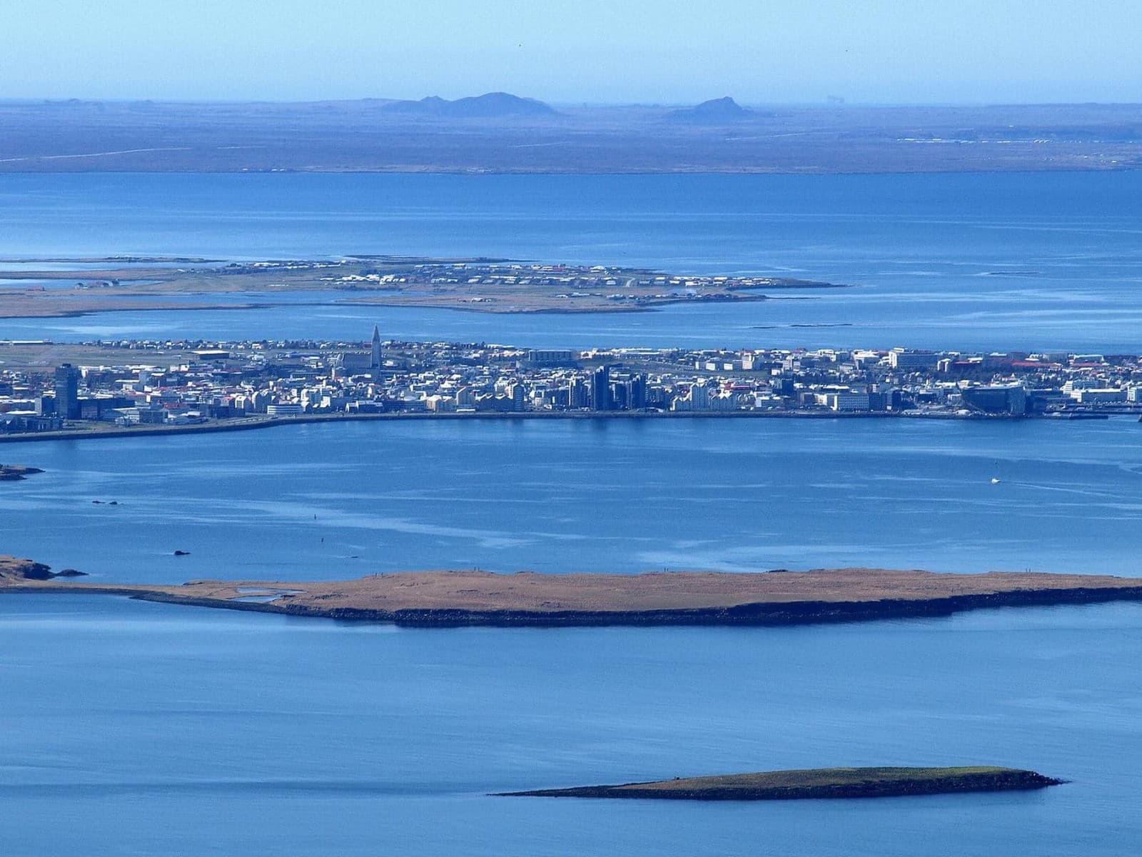
That scale explains why Faxaflói can feel like several different places. From central Reykjavík it is the water beyond the harbour. At Seltjarnarnes it becomes a low, tidal coast. Across the bay, Akranes and the West Iceland ports show its industrial and fishing life. No single stop can represent all of it.
The peninsulas form the outer frame, while smaller islands, headlands and harbour basins shape the inner bay. This is why a city view can look enclosed by mountains even though Faxaflói opens broadly to the North Atlantic. The name describes the whole water body, not only the stretch visible from Reykjavík.
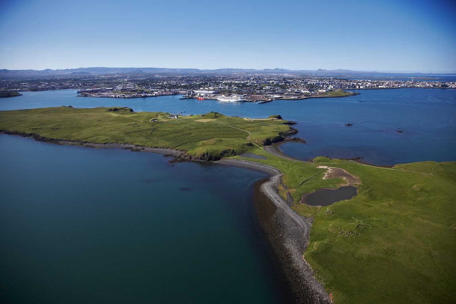
Grótta gives the bay a protected land-based edge close to Reykjavík.
Reykjavík meets Faxaflói at Old Harbour and Grandi
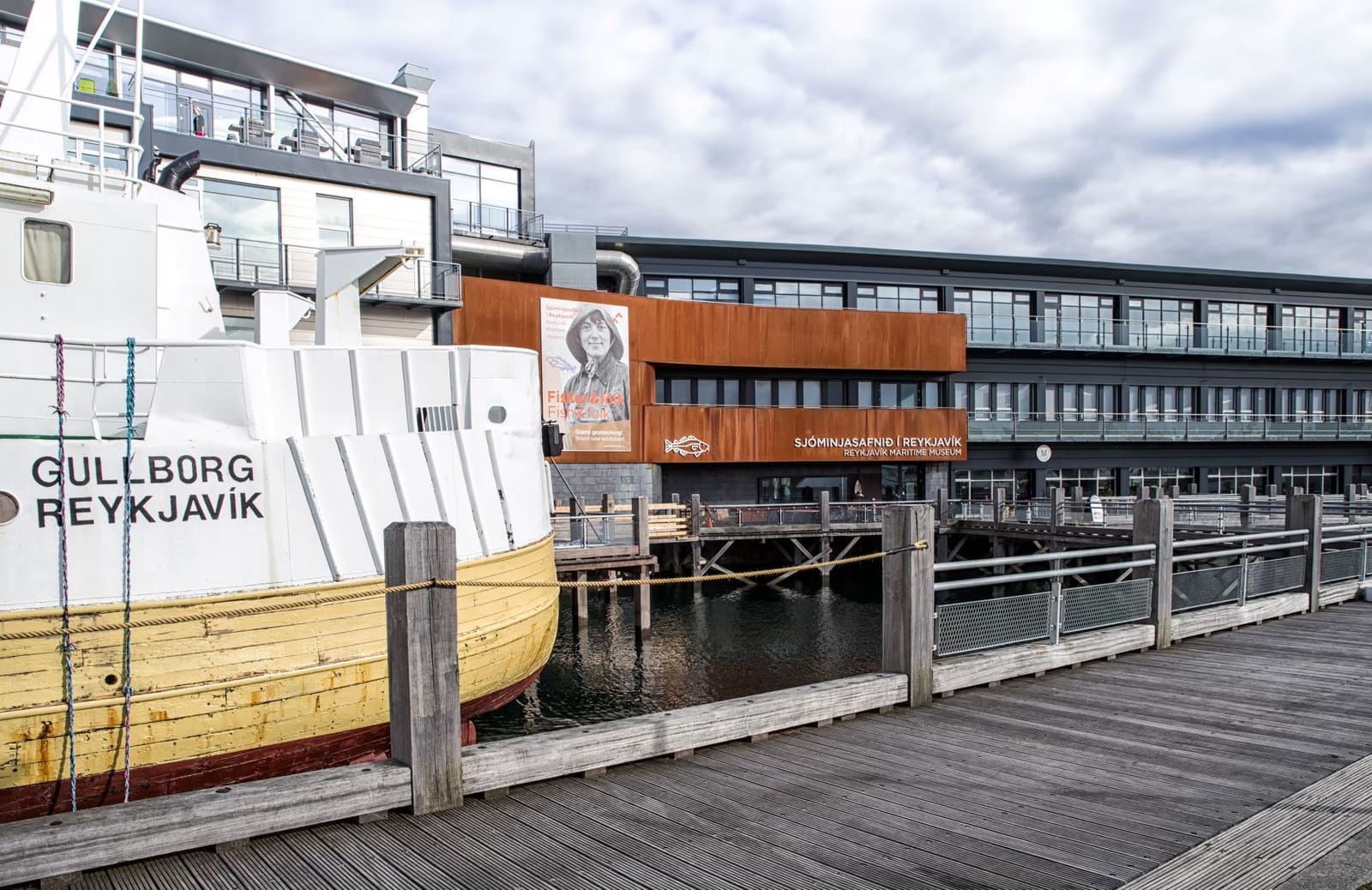
The easiest introduction is the working waterfront, where fishing history, museums, boats and public paths sit together.
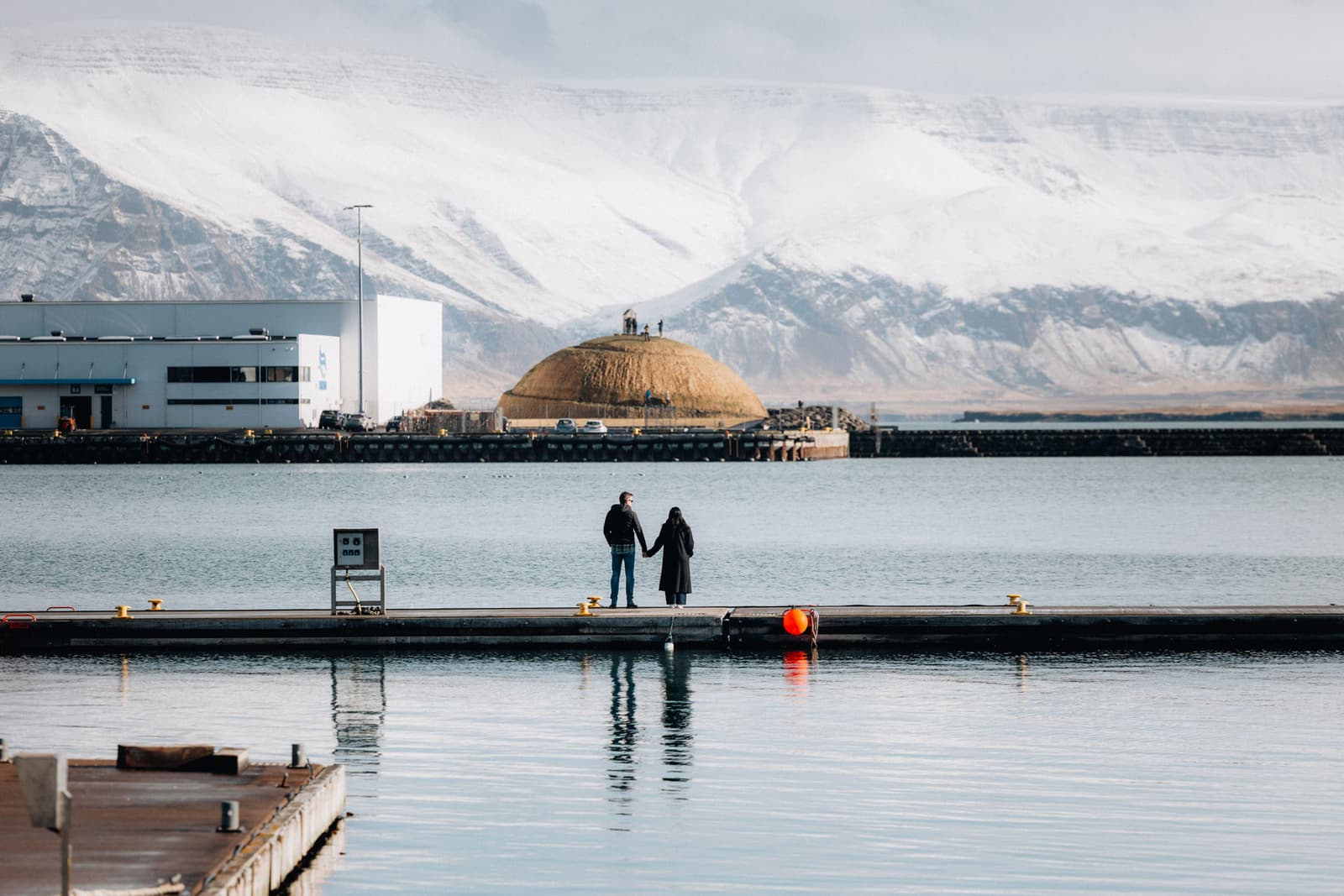
Old Harbour and Grandi make the bay understandable without turning it into a tour decision. Watch boats move through the harbour, look across to Mount Esja, or use Whales of Iceland for marine context before going onto the water. The area works as a short walk or a slower cultural visit.
The district was once the center of Reykjavík's fishing industry. Marine services still operate beside museums, restaurants and public spaces, so the working past has not disappeared behind a polished promenade. That mix gives visitors more cultural context than a viewpoint alone.
Mount Esja is one of the clearest landmarks across the inner bay from Reykjavík.
Fishing history, museums, harbour activity and marine trips.
Grótta reveals a protected edge of the bay
The 39.6-hectare reserve on Seltjarnarnes protects tidal shore and rich birdlife close to the city.
Grótta gives Faxaflói a quieter natural edge, but access to the island and lighthouse depends on tide and protection rules. Nesting closures are there to prevent disturbance, so follow current signs and view the reserve from the mainland when access is closed. The wider Seltjarnarnes coast still provides open-water views.
The reserve is valuable because tidal shore, shallow water and land habitat meet in a small area beside the capital. Birds use it for feeding and nesting, while people can watch the bay change with tide and weather. The lighthouse is a landmark within that habitat, not the only reason the place matters.
Wildlife belongs to the bay, not to a timetable
Faxaflói is feeding habitat for whales and dolphins, while seabirds use the islands and coastal shallows.
Boats from Old Harbour commonly look for minke whales, humpbacks and dolphins. Puffins and other seabirds add a seasonal layer. These are wild animals, so no page or operator can promise a sighting. The whale-watching guide explains trip types and responsible expectations without making wildlife the bay's only identity.
A land visit and a boat trip answer different questions. Shore paths show habitat, light and the relationship between city and sea; a boat reaches feeding waters and gives a wider view back toward the mountains. Choose according to interest and conditions, not because one is presented as the complete Faxaflói experience.
Reykjavík, Akranes, Grundartangi and Borgarnes belong to one managed port network, but each has a different role.
Reykjavík combines fishing, cargo, passenger traffic and marine services. Akranes has a strong fishing-harbour identity, Grundartangi is industrial, and Borgarnes serves smaller boats. That working geography is more useful than treating the bay as empty scenery. Akranes and Borgarnes provide the clearest town-level context.
Akranes shows the bay as working water, with fishing, passenger traffic and industry sharing the coast.
For most visitors, one perspective is enough: a Reykjavík waterfront walk, Grótta's protected shore, a responsible wildlife trip or time in Akranes. The point of a Faxaflói page is to connect those experiences, not to send people around the entire bay.