Bathing details
- Type
- Remote hot spring context
- Region
- Lundarreykjadalur, West Iceland
- Best for
- Experienced, flexible self-drivers
- Access
- Unmarked and conditions-sensitive
- Facilities
- Do not expect services
Englandshverir Hot Spring helps experienced West Iceland travelers understand a small, unmarked geothermal area in Lundarreykjadalur without treating it as a guaranteed bathing stop, facility, or must-see attraction.
Bathing details
Englandshverir is a small geothermal hot-spring area in Lundarreykjadalur, West Iceland. It can interest experienced self-drivers, but most travelers should treat it as planning context rather than a reliable bathing stop.
The name refers to an unmarked or lightly marked natural hot-spring area near Road 52, also known as Uxahryggjavegur. Sources connect it with the Fitjar area, Englandsfoss, and the rural Lundarreykjadalur valley rather than with a developed visitor site.
That matters because a map pin can make Englandshverir look simpler than it is. This is more useful as planning context than as a casual stop. It belongs only in a flexible West Iceland day where you are ready to turn around if access, weather, footing, water level, temperature, privacy, or local signs do not line up.
Most travelers will understand the area more safely through nearby places such as Deildartunguhver, Reykholt, Hraunfossar, and Barnafoss. Englandshverir is for travelers who value low-profile geothermal context more than a predictable soak.
Englandshverir sits in the West Iceland backroad world between Borgarnes, Reykholt country, Road 52, and the approaches toward Thingvellir and Kaldidalur.
For trip planning, the useful geography is not a single attraction entrance. Think of it as part of the Lundarreykjadalur valley and Uxahryggjavegur corridor. Borgarnes is the practical base to the west, while Reykholt and Deildartunguhver give clearer visitor context farther into Borgarfjordur.
The road context is important. Road 52 connects rural West Iceland landscapes with more interior-feeling routes, and Icelandic road authority material treats the corridor as a real planning object. Do not assume the surface, shoulders, pullouts, or side access will feel like a paved attraction approach.
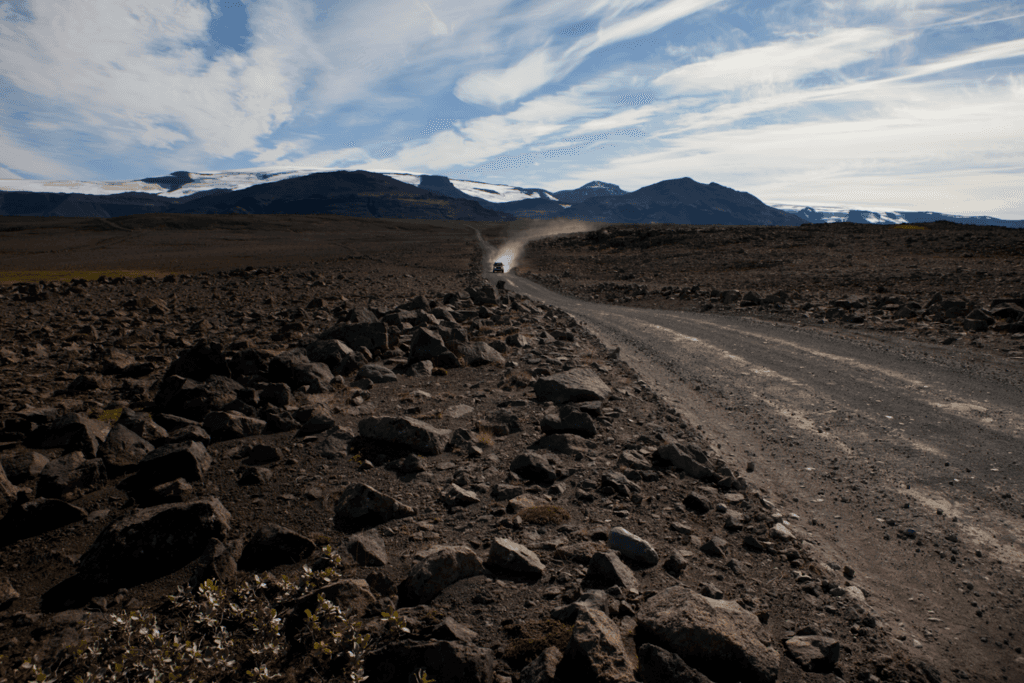
The likely experience is low-key and conditional: geothermal water, rough or wet ground, rural quiet, and a decision about whether continuing feels appropriate.
Several travel sources describe natural pools or hot-spring water in the area, but they also point to difficult wayfinding, limited infrastructure, and rough access. That combination is the page's main practical point. A traveler should not read the name and expect a staffed pool, a clear changing setup, or a guaranteed bathing temperature.
If you do approach any natural hot-spring water, test cautiously and keep your plan conservative. Geothermal temperatures can vary, river or stream conditions can change, and wet ground can make a short walk feel less simple than it looks in a trip report.
Most travelers do not need Englandshverir itself to understand West Iceland's geothermal story. Nearby named places make the same landscape easier to read.
Deildartunguhver is the stronger geothermal comparison because it is a famous hot spring source with clearer visitor framing. Reykholt adds the cultural side of hot-water history, while Hraunfossar and Barnafoss give the day a more reliable scenic anchor.
This is the honest role of Englandshverir: it helps explain that West Iceland's geothermal landscape extends beyond the famous stops, but the low-infrastructure version is not automatically the better travel choice.
Do the official checks before you commit. Roads, weather, safety guidance, land access, water conditions, and local instructions should decide the stop.
Start with current road conditions from Umferdin, then check the Icelandic Meteorological Office for warnings, wind, precipitation, visibility, and temperature. SafeTravel is the wider safety check for outdoor conditions and alerts. If local signs or land-access signals are unclear, do not continue just because an online guide describes the place.
For winter, shoulder-season, and wet-weather travel, be especially conservative. A remote hot-spring stop loses its value quickly if it creates uncertainty around driving, daylight, clothing, river edges, or the ability to leave cleanly.
Use for current road conditions before relying on Road 52 or rural detours.
Use for weather warnings, wind, visibility, precipitation, and local forecasts.
Use for travel alerts and outdoor-safety context before remote stops.
Use for background on the Uxahryggjavegur corridor; current conditions still need live checks.
By ThorPublished Updated
Map
Use nearby places and useful bases before opening directions.
Interactive planning map for Englandshverir Hot Spring
Interactive map
Place context and external map links remain available without loading it.
Planning context
Open the region or practical guide that resolves the next planning decision.
Wider route
Use broader place relationships for route comparison; they are not presented as immediate nearby stops.
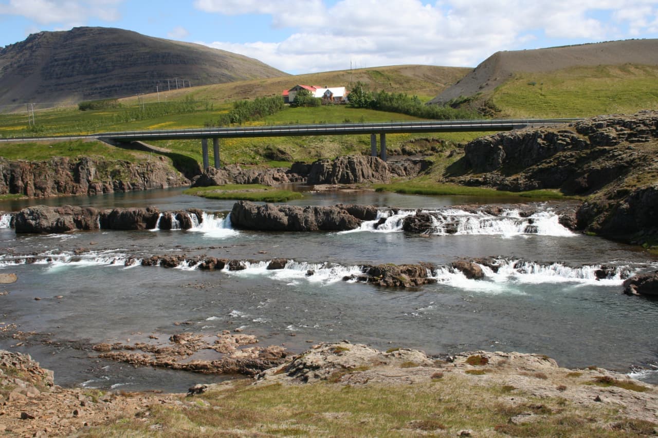
Tröllafossar is a low, stepped waterfall cluster at Fossatún in West Iceland, best for travelers deciding whether a short Borgarfjörður or Silver Circle detour adds enough scenery, folklore, and river views between bigger headline sights.
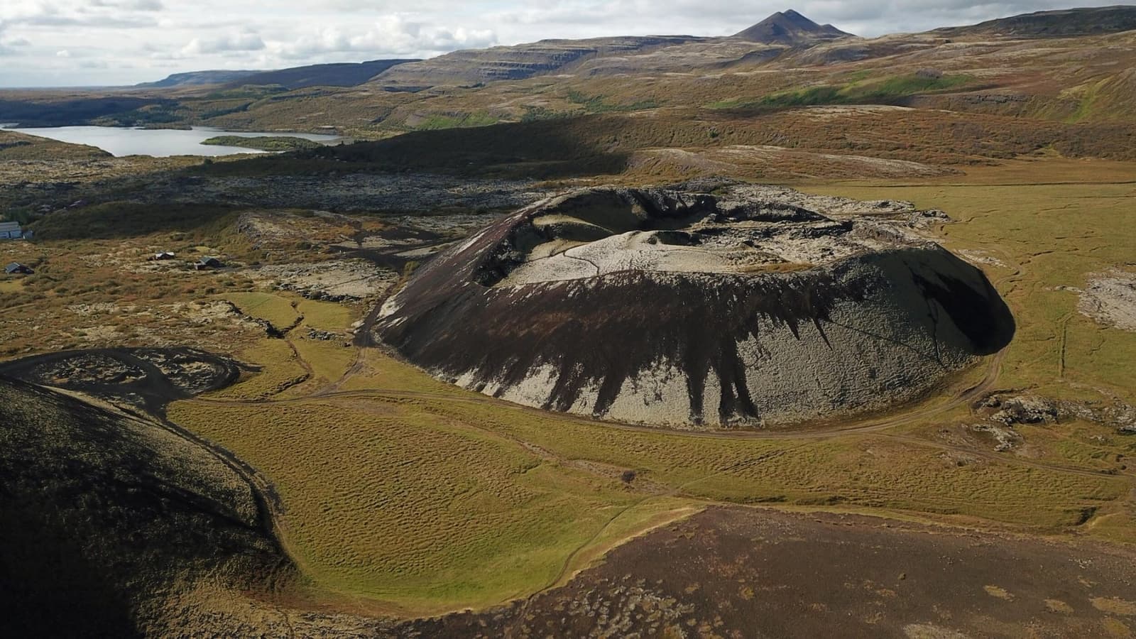
Grábrók is a protected volcanic crater beside Bifröst in West Iceland, best used as a short Ring Road or Borgarfjörður climb when you want quick volcanic views without reshaping the whole day.
Next step
Use the next page that helps turn this stop into a practical route decision.