Dramatic Iceland mountain landscape with red-roofed huts under cloudy skies

Places to see

Iceland Attractions

Compare the places that shape Iceland routes, from quick scenic stops to sights that decide the shape of a whole day.

Useful for

landmarksroute anchorsscenic stopsphoto planning

All place guides

Find sights worth building into your route.

Search and filter attraction pages and visual collections without mixing in route or region hubs.

What do you want to see?

Browse
Browse all optionsChoose attraction type

Where?

Route level

Browse
Browse all optionsChoose route cluster

Trip style

Browse
Browse all optionsChoose travel style
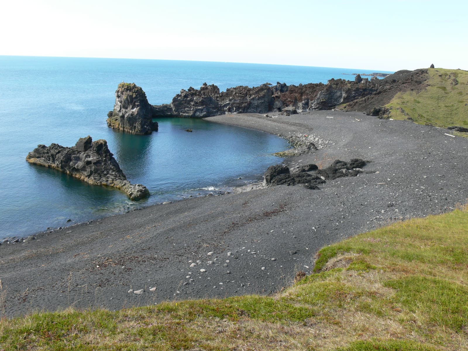
Dritvík Cove and black-pebble shore below lava cliffs on Snæfellsnes.

Dritvík Cove

Dritvík Cove is a black-pebble coastal walk beyond Djúpalónssandur, useful for travelers who want a quieter Snæfellsnes stop with old fishing-station history, lava cliffs, and a clear safety-and-time decision.

Dritvík Cove · Foot-access coast · Fishing-station history
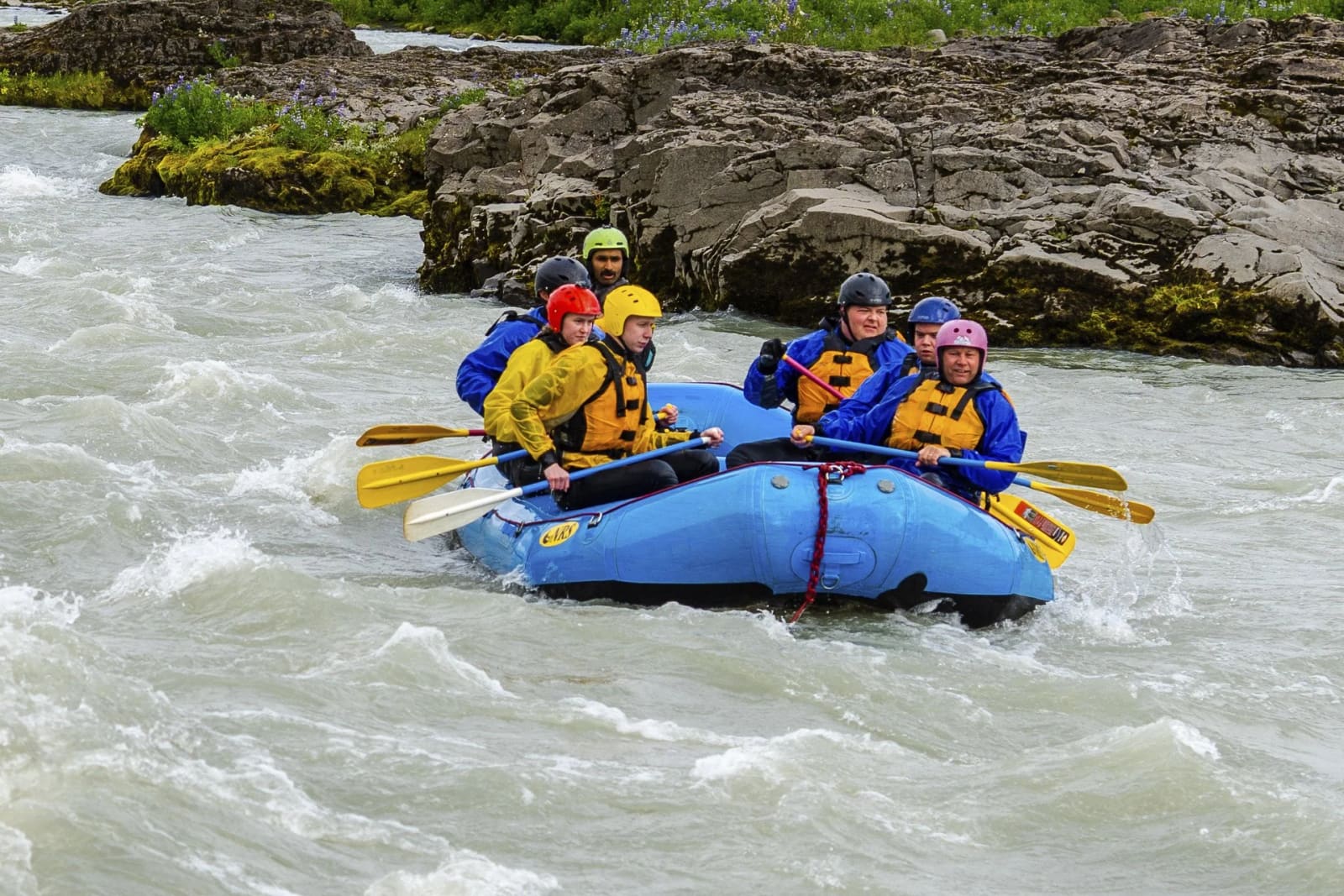
Rafting group paddling through the Hvítá river landscape from Drumbó River Base.

Drumbó River Base

Drumbó River Base is the Hvítá rafting start point near the Golden Circle, useful when you want one active booked anchor between Gullfoss, Geysir, Þingvellir, and nearby South Iceland stops.

Golden Circle · Hvítá rafting base · Booked activity stop
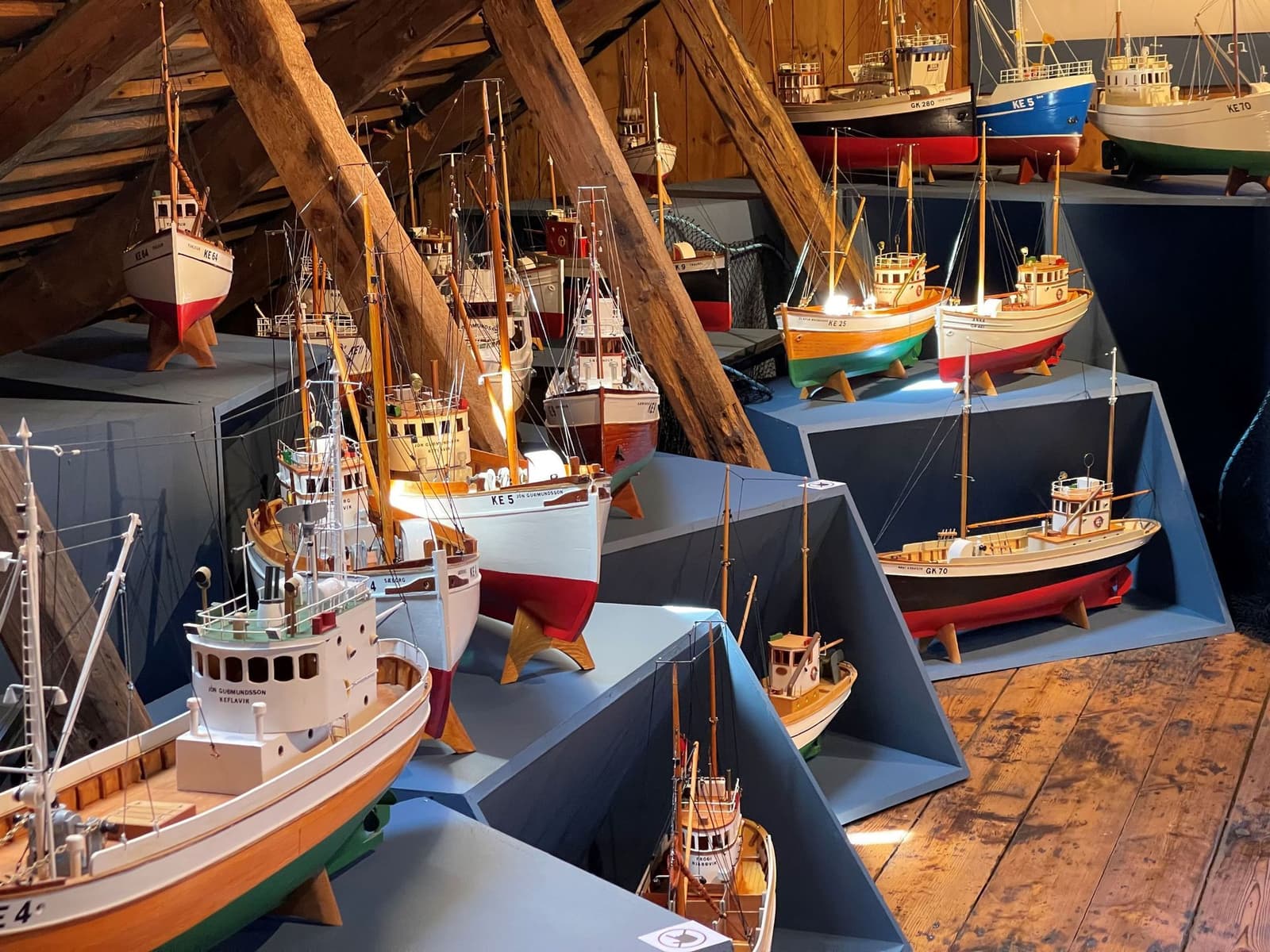
Model fishing boats displayed inside Duus Museum in Keflavík.

Duus Museum

Duus Museum is Keflavík's waterfront culture complex, best for travelers who want local history, art, maritime exhibits, and Reykjanes context before or after airport, Blue Lagoon, or peninsula plans.

Keflavík harbor · 45-90 minutes · Culture and maritime history
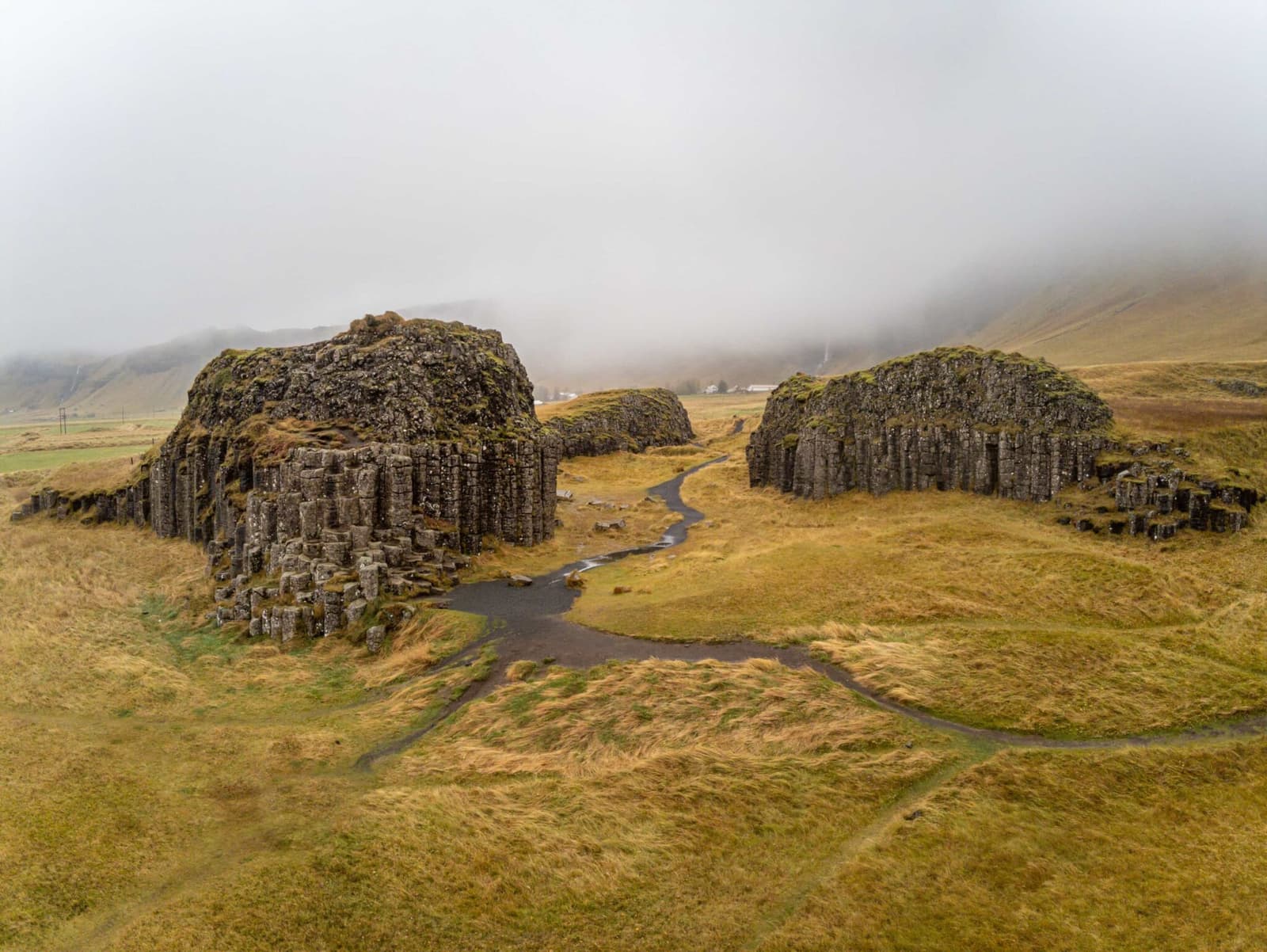
Wide view over the Dverghamrar basalt-column outcrops and walking paths in South Iceland.

Dverghamrar

Dverghamrar is a compact protected basalt-column formation beside Route 1 east of Foss á Síðu, useful for travelers who want a quick geology stop near Kirkjubæjarklaustur without turning the day into a long detour.

South Coast · Basalt columns · Short Route 1 stop · Near Foss á Síðu
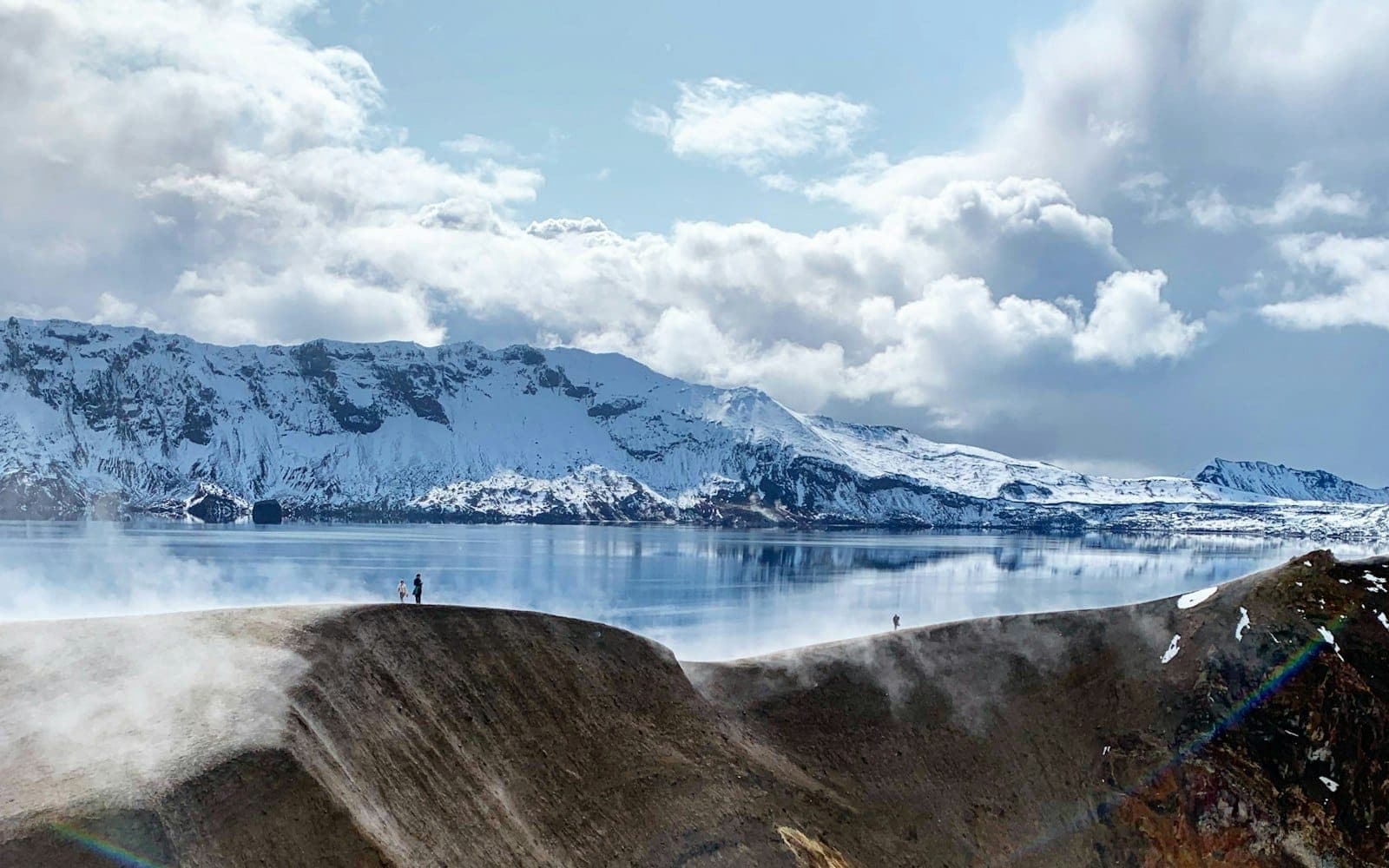
Víti crater and Öskjuvatn below snowy Dyngjufjöll caldera walls in the Askja Highlands.

Dyngjufjöll

Dyngjufjöll is the remote volcanic mountain range around Askja in North Iceland's Highlands, worth considering only when F-road access, weather, time, and nearby Askja-area stops support the detour.

North Iceland · Askja area · F-road access
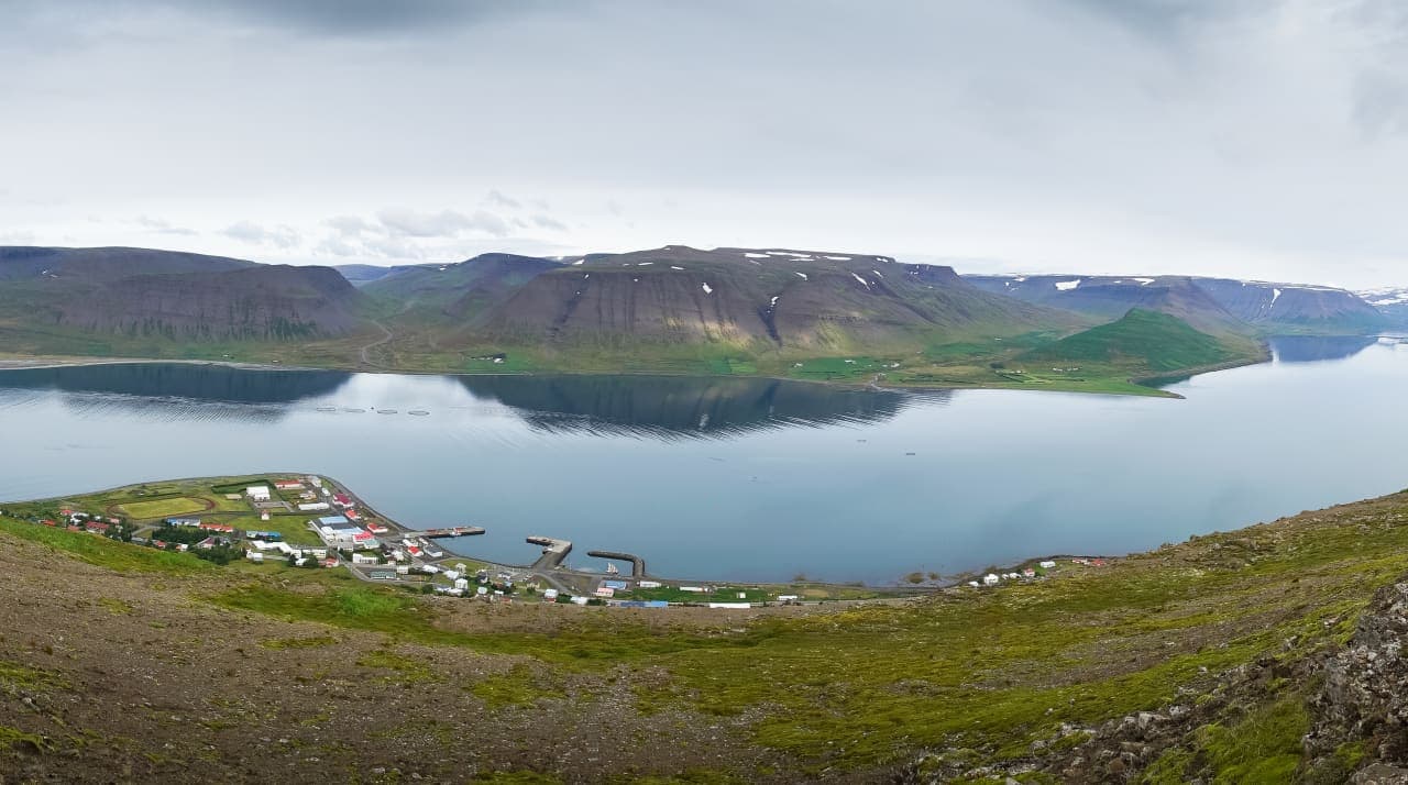
Þingeyri village beside Dýrafjörður with steep Westfjords mountains across the water.

Dýrafjörður

Dýrafjörður is a long Westfjords fjord around Þingeyri, best for travelers deciding whether to slow down for mountain views, village context, and nearby Dynjandi rather than simply driving through.

Westfjords fjord · Þingeyri area · Scenic drive · Westfjords Way
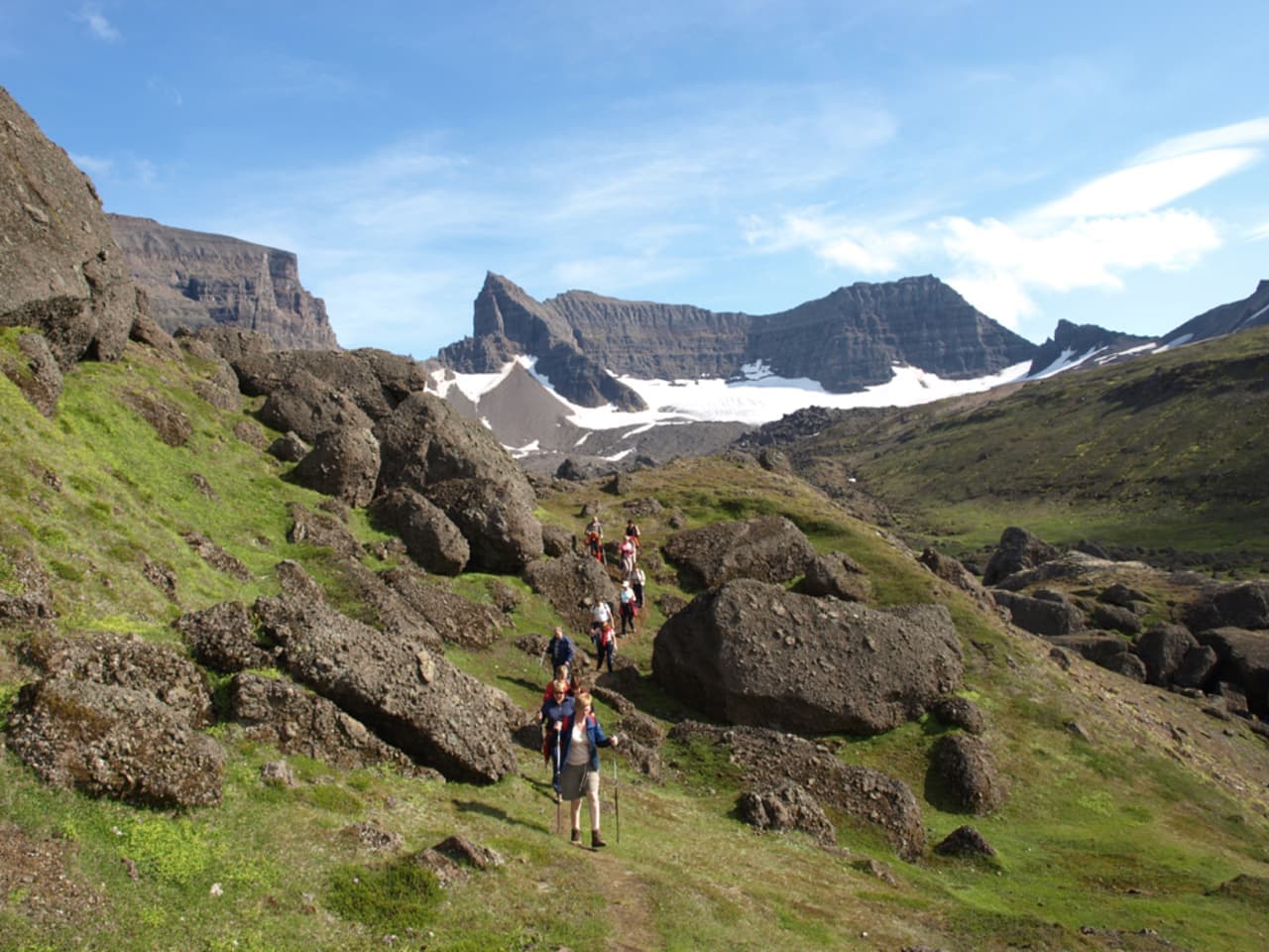
Hikers walking among boulders below the jagged Dyrfjöll mountain range in East Iceland.

Dyrfjöll

Dyrfjöll is the jagged mountain range above Borgarfjörður Eystri in East Iceland, best for travelers who want dramatic scenery, serious hiking context, and a slower Eastfjords plan rather than a casual roadside pause.

Eastfjords mountains · Stórurð area · Serious hiking context
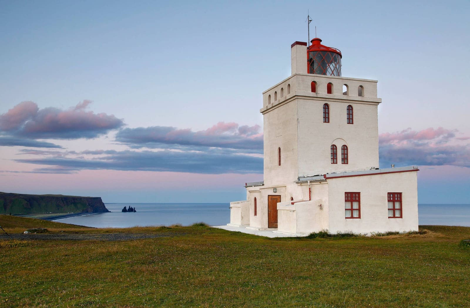
Dyrhólaey Lighthouse above the South Coast with Reynisdrangar and Reynisfjara in the distance.

Dyrhólaey Lighthouse

Dyrhólaey Lighthouse helps South Coast travelers decide whether the upper headland adds enough clifftop views, birdlife, route context, and practical value beyond the broader Dyrhólaey and Reynisfjara stops.

South Coast lighthouse · Upper Dyrhólaey viewpoint · Near Vík
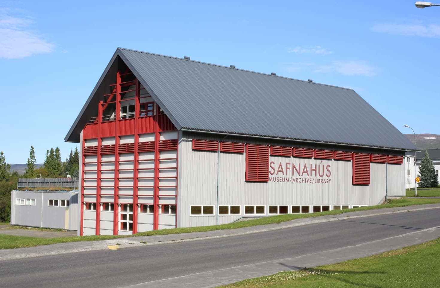
Exterior of the East Iceland Heritage Museum building in Egilsstaðir.

East Iceland Heritage Museum

East Iceland Heritage Museum is useful when an Egilsstaðir stop needs culture, indoor time, and regional context. Use it to understand reindeer, rural self-sufficiency, and local history before choosing nearby East Iceland stops.

Museum · Egilsstaðir · East Iceland
A small Eastfjords village beside a sheltered harbor and steep mountains in East Iceland.

Eastfjords

The Eastfjords page helps Ring Road travelers decide whether to give East Iceland a real fjord-road stretch or just pass through, with practical guidance on pacing, village stops, scenery, and the official road and weather checks that matter.

Eastfjords coast · Village-to-village drive · Geology and wildlife
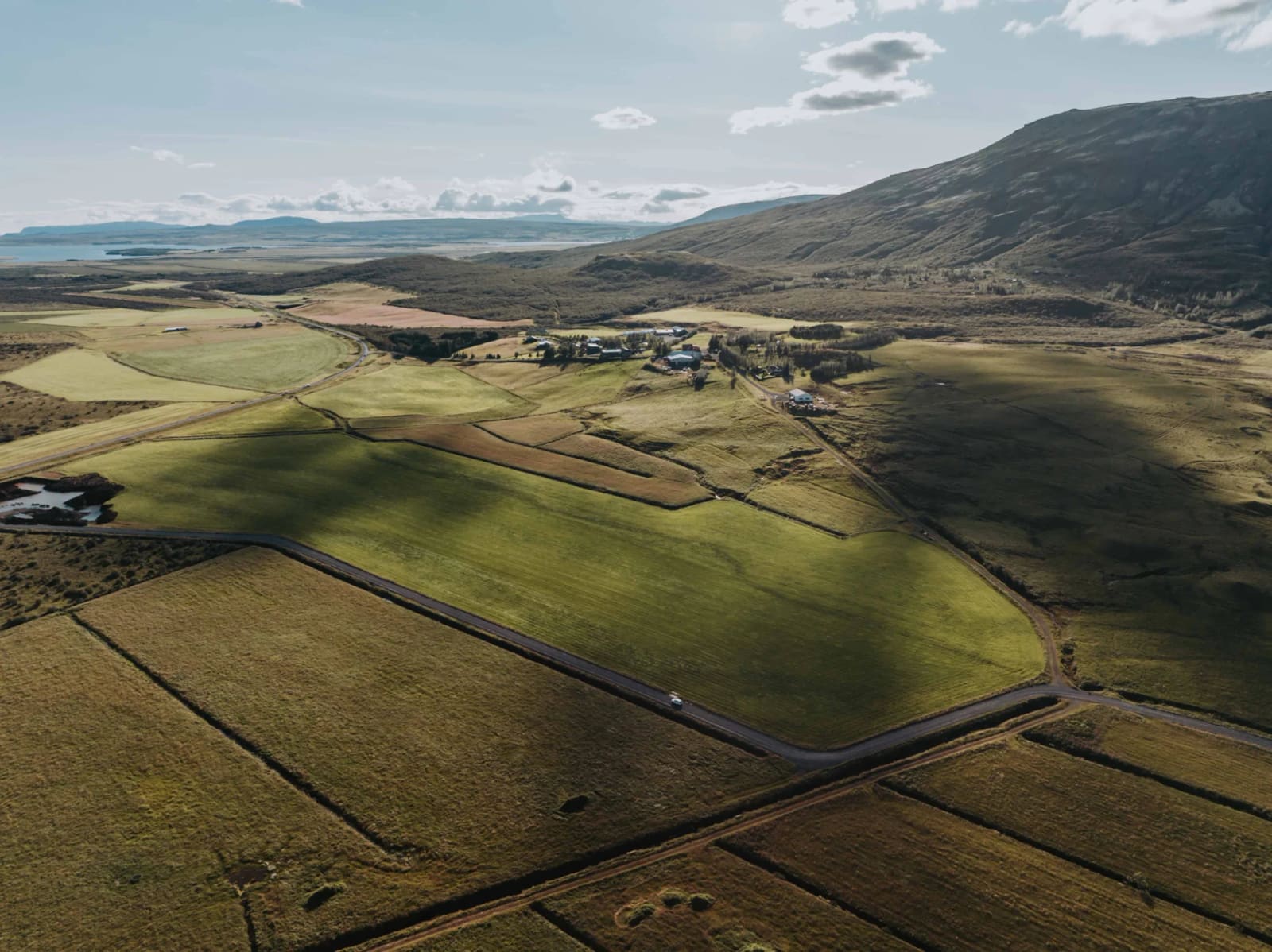
Aerial view of Efstidalur farm buildings and fields near Laugarvatn

Efstidalur

Efstidalur helps Golden Circle travelers judge whether a working dairy farm, ice-cream stop, restaurant, lodging base, or horse-riding pause deserves time between the bigger landscape stops near Laugarvatn.

Golden Circle farm stop · Ice cream · Food and countryside context
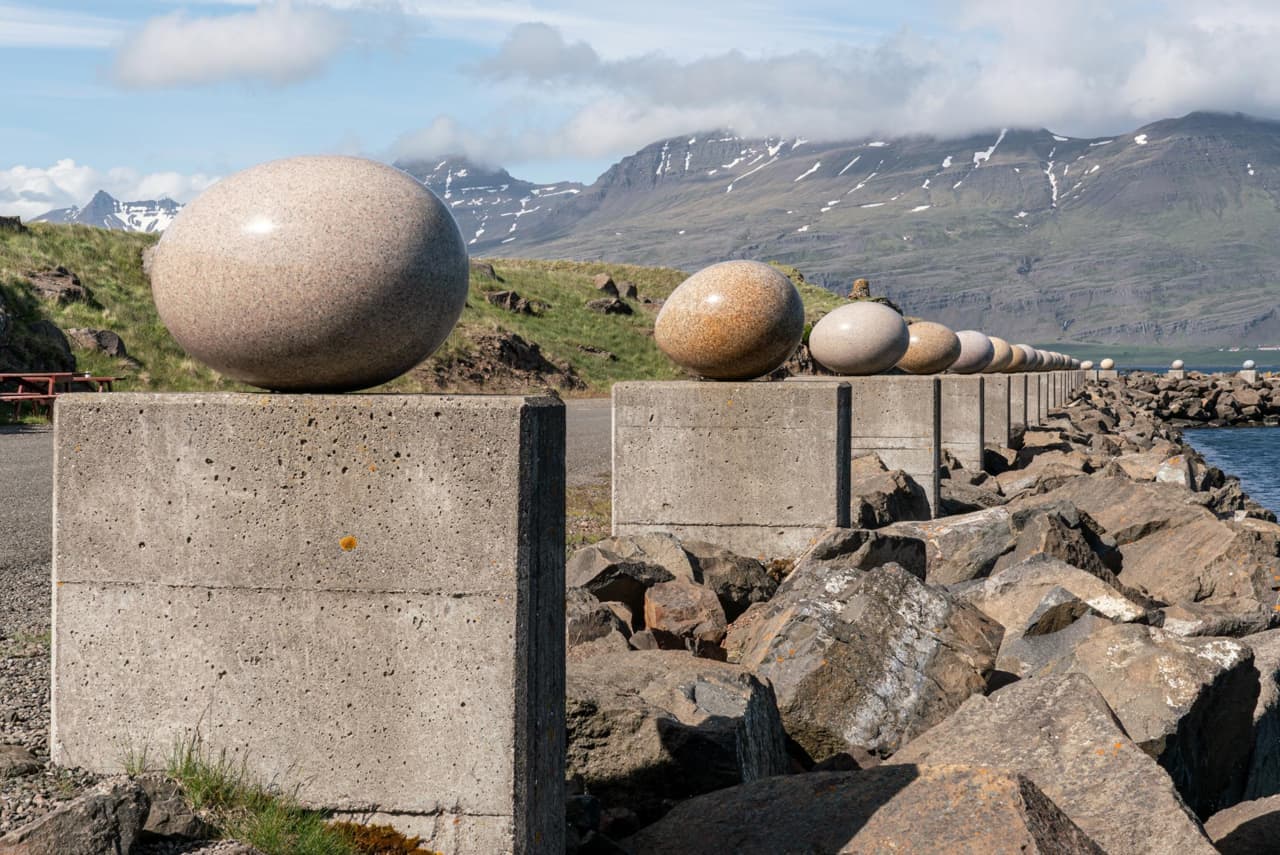
Granite egg sculptures at Eggin í Gleðivík on the shore in Djúpivogur, East Iceland.

Eggin í Gleðivík

Eggin í Gleðivík is a harbor-side outdoor artwork in Djúpivogur, best for travelers who want a short Eastfjords landmark stop with birdlife context, mountain views, and an easy decision on whether the detour deserves more than a quick photo.

Djúpivogur landmark · Eastfjords short stop · Birdlife-inspired public art
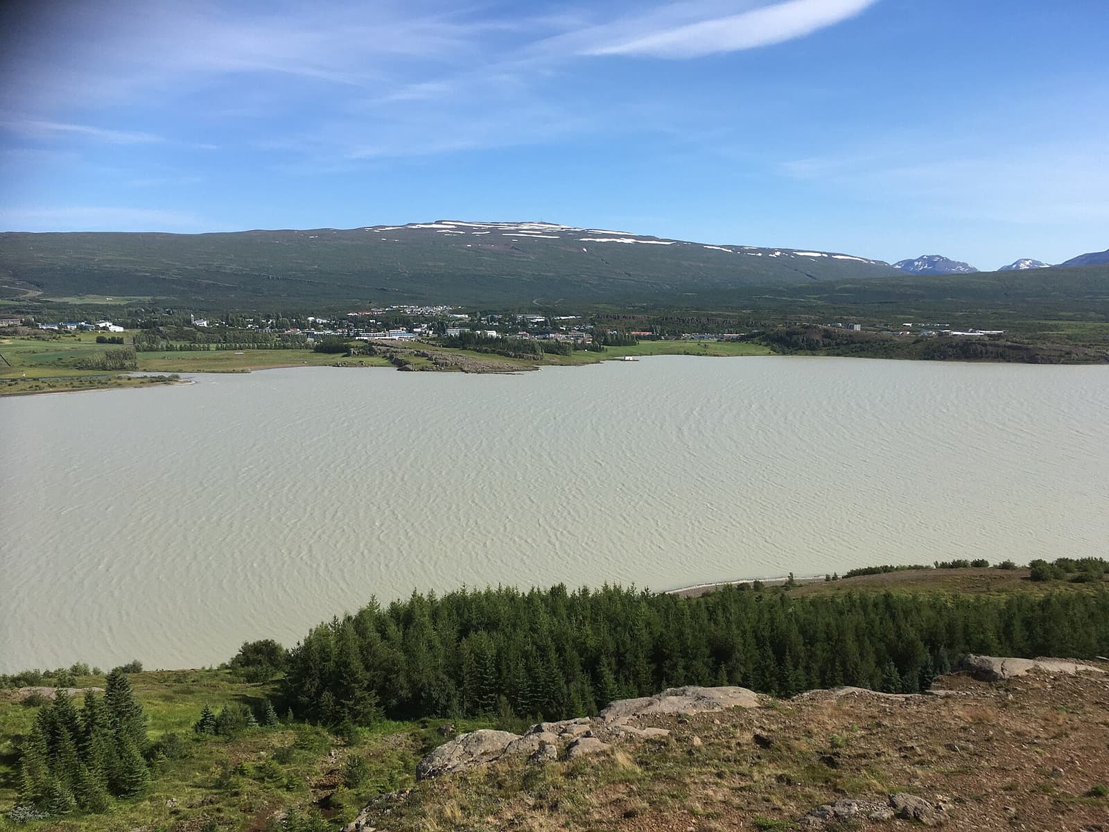
Egilsstaðir beside Lagarfljót with green hills and mountains behind the East Iceland town.

Egilsstaðir

Egilsstaðir is East Iceland’s practical inland town beside Lagarfljót, useful as a Ring Road pause, flight gateway, or base for nearby fjords, forests, waterfalls, lake country, and highland-edge drives.

East Iceland base · Ring Road stop · Lagarfljót gateway
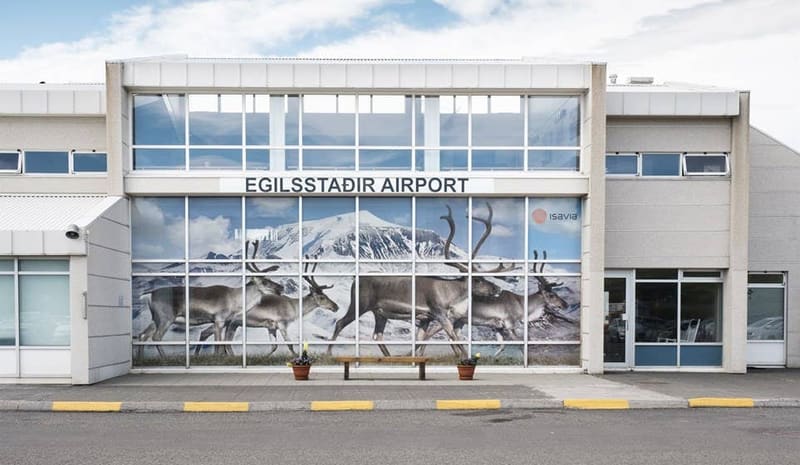
Egilsstaðir Airport terminal and apron in East Iceland.

Egilsstaðir Airport

Egilsstaðir Airport helps travelers decide whether flying into East Iceland, collecting a car, or using local transport often makes more sense than forcing a long Ring Road drive.

East Iceland arrival hub · Domestic flight context · Check current transport
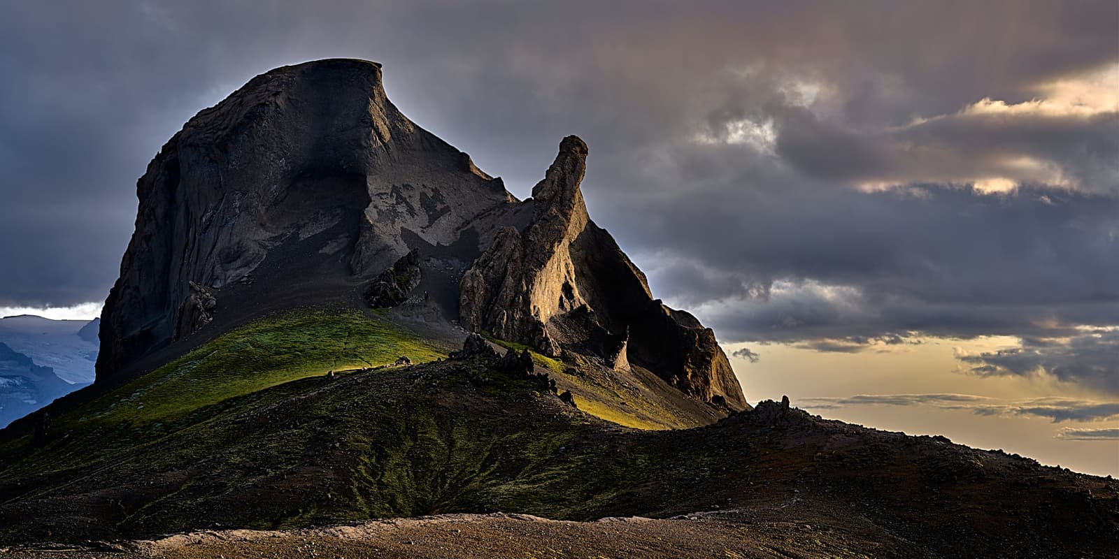
Einhyrningur, also called Unicorn Mountain, with its horn-shaped rock outcrop in South Iceland.

Einhyrningur (Unicorn Mountain)

Einhyrningur is a horn-shaped tuff mountain on South Iceland’s highland edge near Þórsmörk, worth adding when your route already supports F-road access, Laugavegur hiking, or a flexible mountain-view day.

South Iceland · Horn-shaped mountain · Highland-edge stop
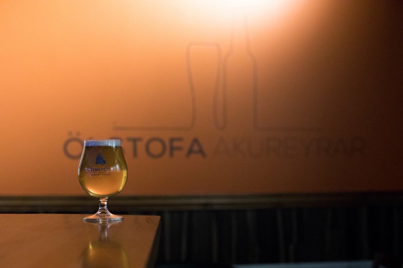
A glass of Einstök beer inside the Akureyri tasting lounge.

Einstök Brewery

Einstök Brewery is useful context for adults visiting Akureyri who want Icelandic craft beer, but it works better as a tasting-lounge or brand stop than as a classic sightseeing attraction.

Akureyri · Craft beer context · Commercial visitor stop
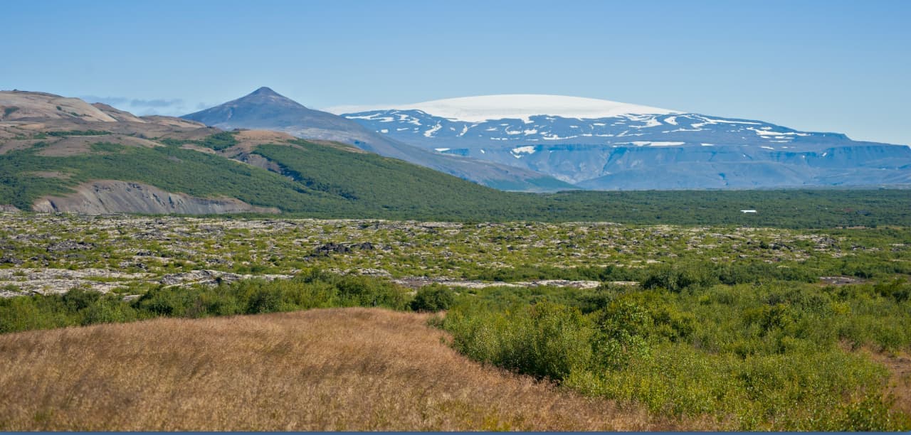
Eiríksjökull rising above Hallmundarhraun with a broad white glacier cap in West Iceland.

Eiríksjökull

Eiríksjökull is a glacier-capped table mountain between West Iceland and the Highlands, worth adding only when rougher inland access, weather, and extra time support a scenic detour rather than a simple roadside stop.

Remote glacier · Highlands edge · Rough access
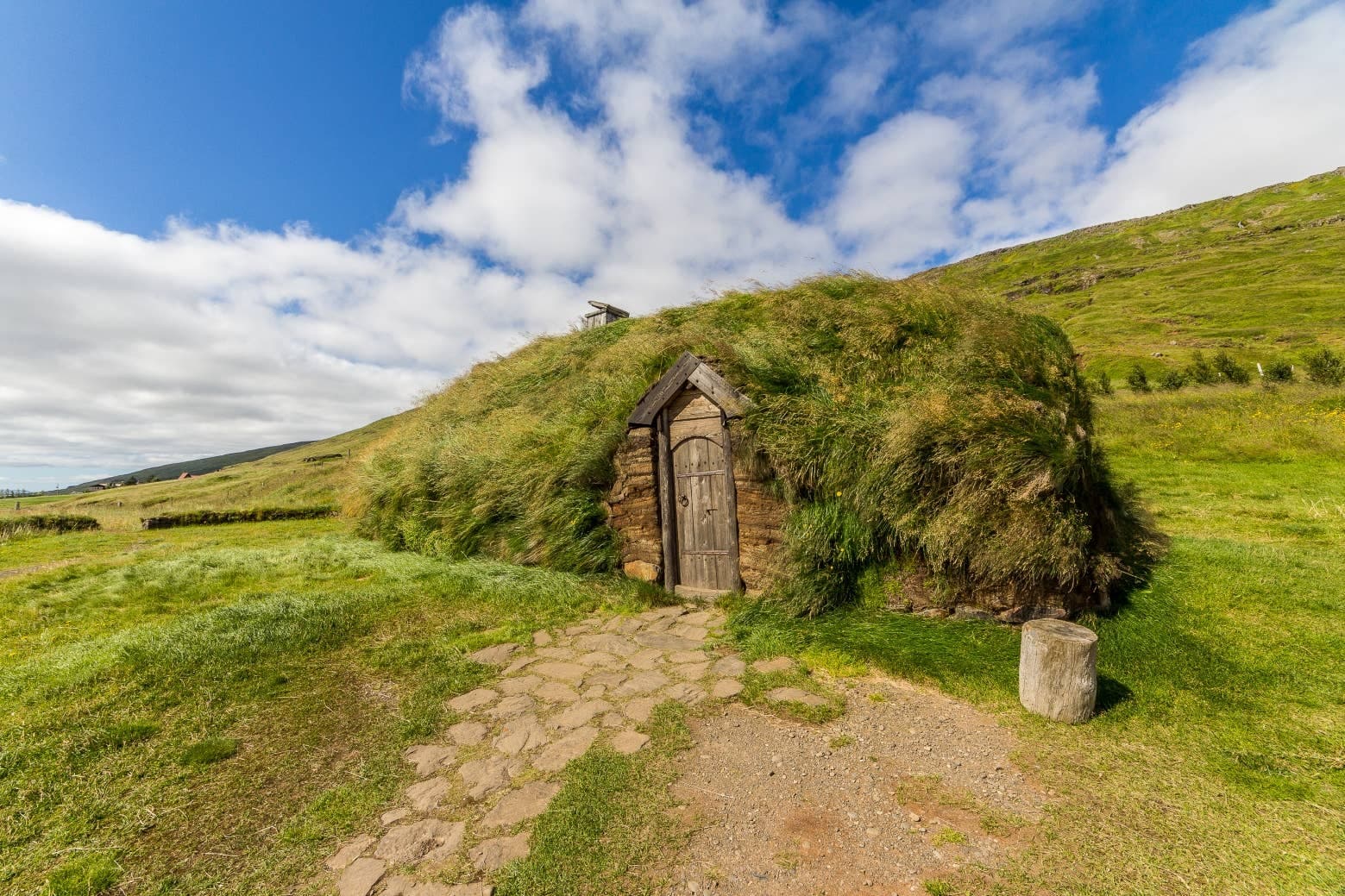
Turf-roofed reconstructed longhouse at Eiríksstaðir in Dalir.

Eiríksstaðir Viking Longhouse

Eiríksstaðir is a reconstructed Viking-age longhouse and farmstead site in Dalir, useful when a Westfjords Way or Snæfellsnes transfer needs hands-on saga history rather than another landscape stop.

Living history · Dalir · Westfjords Way
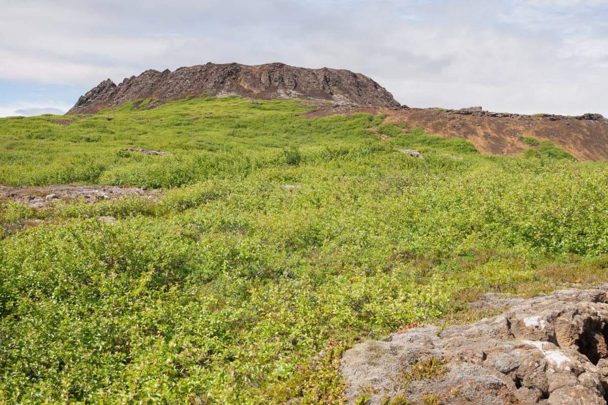
Eldborg crater rising above green lava-field vegetation in West Iceland.

Eldborg

Eldborg is a protected volcanic crater in West Iceland, worth adding when you want a real lava-field hike near the Snæfellsnes approach rather than another quick roadside geology stop.

Crater hike · West Iceland · Snæfellsnes approach · 2-3 hours
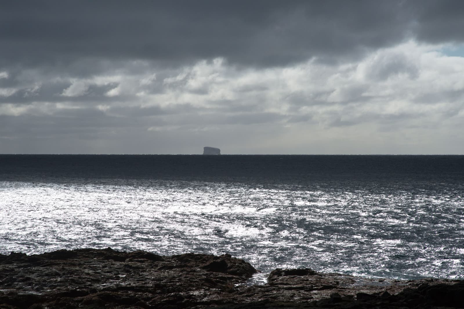
Eldey visible as a dark offshore island beyond rough Reykjanes lava and bright sea.

Eldey

Eldey is a protected offshore bird island southwest of the Reykjanes Peninsula, useful for travelers who want a clear-weather coastal viewpoint, gannet context, and a realistic add-on near Reykjanesviti rather than a landing visit.

Reykjanes Peninsula · Protected bird island · Clear-weather viewpoint
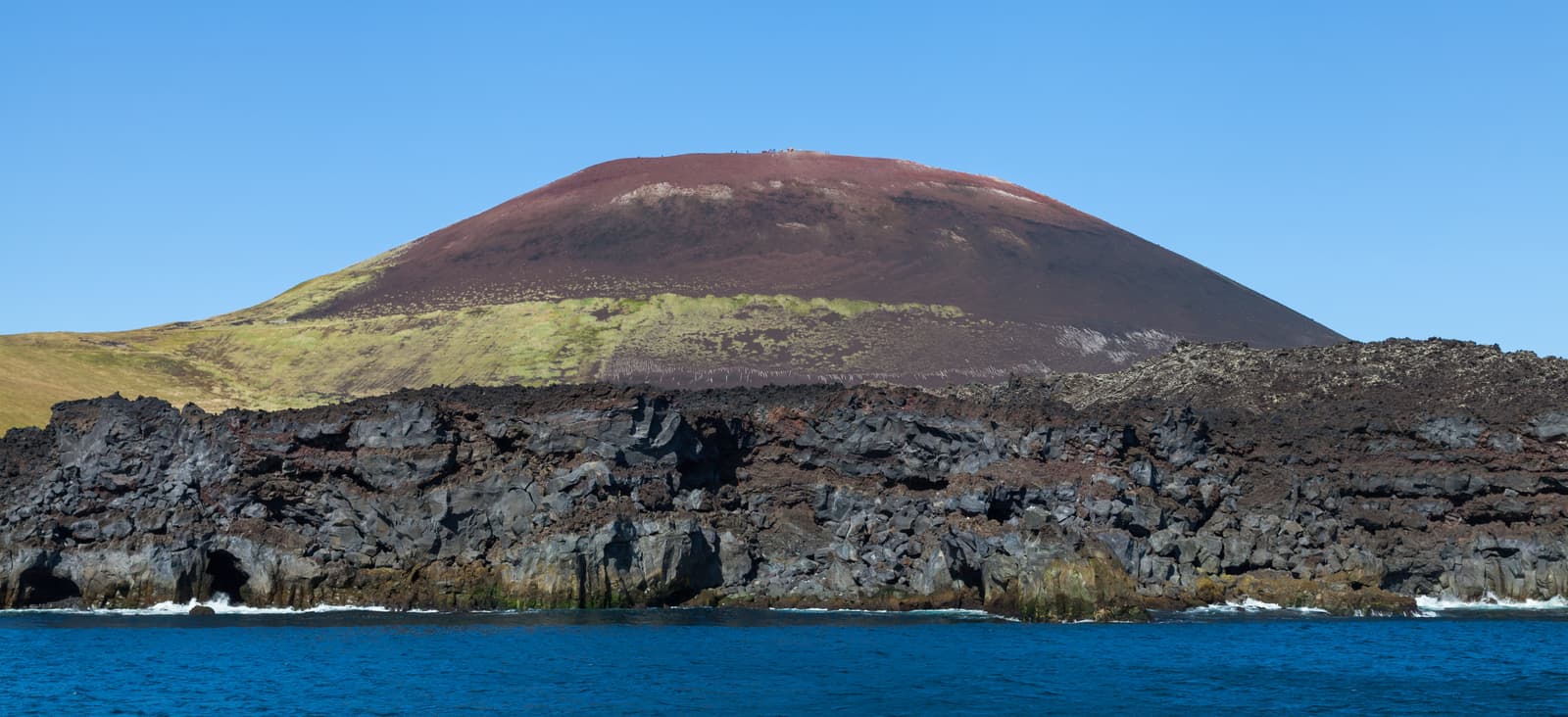
Eldfell's red volcanic crater slopes on Heimaey with tiny hikers along the ridge.

Eldfell

Eldfell is the young red volcano above Heimaey in the Westman Islands, worth adding when you want a short hike, eruption history, and views that justify the ferry time.

Volcano hike · Westman Islands · 1973 eruption · South Coast add-on
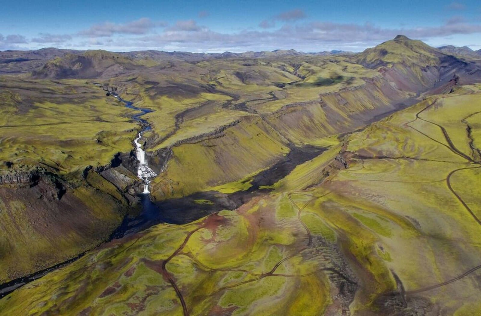
Aerial view of Eldgjá canyon with Ófærufoss waterfall and mossy volcanic slopes in the southern Highlands.

Eldgjá

Eldgjá is a remote volcanic canyon in the south Highlands, worth planning only when highland roads, weather, vehicle choice, and time margins make the detour realistic, with enough flexibility for conditions and nearby route choices.

Highlands canyon · F-road access · Ófærufoss walk
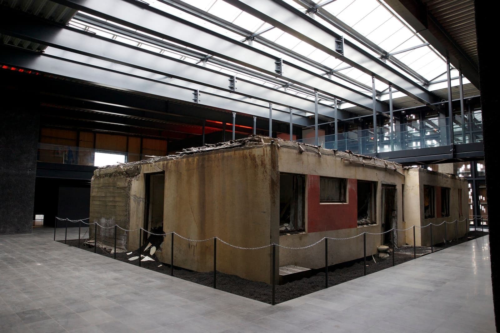
The preserved ash-buried house inside Eldheimar Museum on Heimaey in the Westman Islands.

Eldheimar Museum

Eldheimar Museum is the Westman Islands eruption museum on Heimaey, best for travelers who want the 1973 disaster explained before hiking Eldfell or building a ferry day around the island.

Museum of remembrance · Heimaey · 1973 eruption
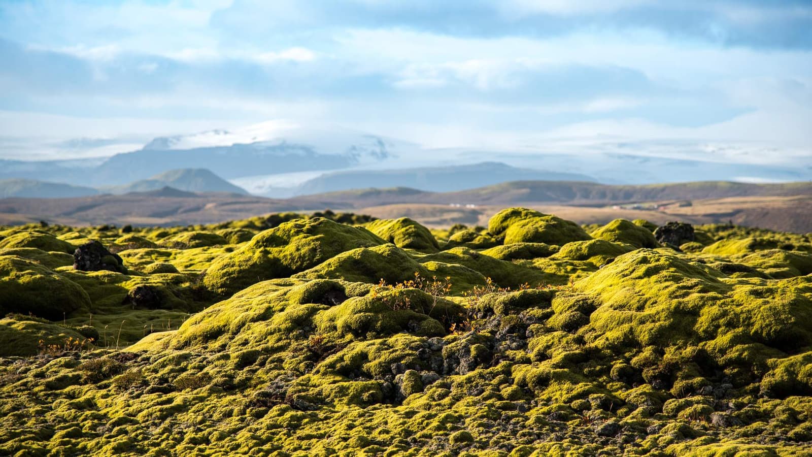
Moss-covered Eldhraun lava field with rounded green lava forms and distant South Iceland mountains.

Eldhraun

Eldhraun is a vast moss-covered lava field beside Route 1 in South Iceland, useful as a short Ring Road texture stop when you want Laki eruption history without adding a full highland detour.

Lava field · South Iceland · Ring Road

193216 of 780 attractions

Page 9 of 33

Build a trip around the places you want to see.

Once the sights are clear, use planning pages to turn them into a route with realistic timing.