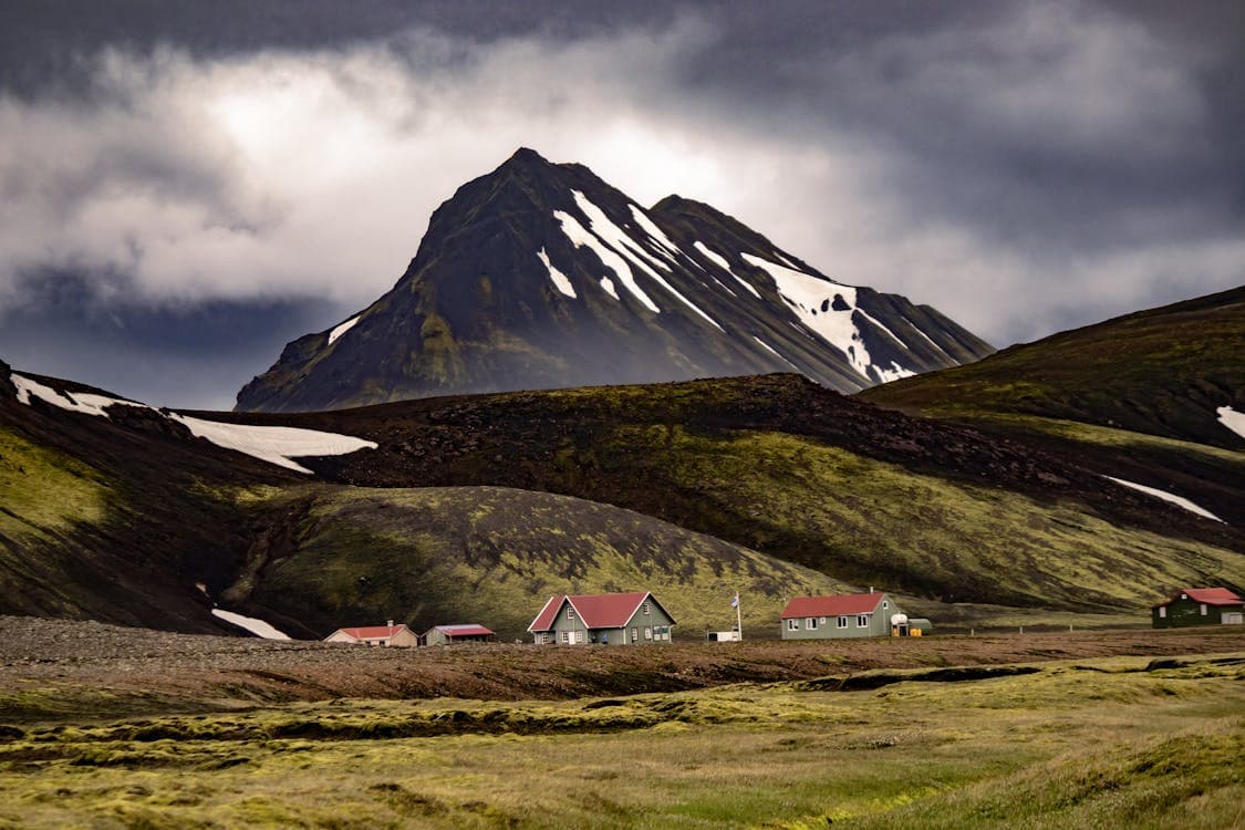
Choose the Westfjords when the peninsula is one of the trip's main reasons, not when it is expected to fit between crowded Ring Road days. A useful plan sequences one or two bases, treats Hornstrandir separately, and keeps transport and weather assumptions replaceable.
Suggested stay
2 nights for one subregion; 4 to 5 for a wider circuit
Route role
A deliberate departure from the Ring Road
Useful bases
Patreksfjörður for the south; Ísafjörður for the northwest
Access rule
Verify roads, ferry or flight, and weather as separate dependencies
Region essentials
Suggested stay
2 nights for one subregion; 4 to 5 for a wider circuit
Route role
A deliberate departure from the Ring Road
Useful bases
Patreksfjörður for the south; Ísafjörður for the northwest
Access rule
Verify roads, ferry or flight, and weather as separate dependencies
In this guide
The Westfjords must be a destination, not a detour
Include the Westfjords when the peninsula is one of the trip's main reasons. If it appears only as an empty corner between two Ring Road bookings, the route needs fewer regions rather than a faster Westfjords day.
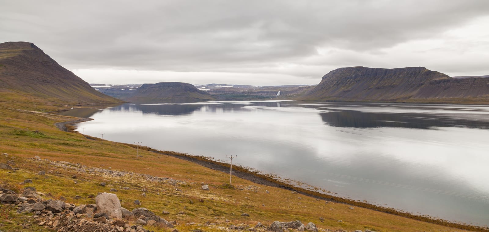
The official Westfjords Way illustrates the scale: its complete touring circuit is roughly 950 kilometres around a peninsula cut by fjords and mountain links. A traveler does not need to drive that exact circuit, but the distance explains why a full visit is a multi-day route decision.
The region also contains experiences that do not share one access model. Látrabjarg and Rauðasandur shape a southern road trip, Ísafjörður works as a northern base, and Hornstrandir is normally reached by sea and explored on foot. Those are separate trip shapes, not adjacent stops.
Two nights sample one subregion; four to five support a wider route
Time should be assigned by cluster, not by the number of attractions saved.
How time changes the Westfjords route.
Time protected
Realistic scope
Cut first
One night
A gateway stop or necessary transit, not a regional visit
Southern cliffs, the northern base, and Hornstrandir
Two nights
One subregion, usually the southern coast or the Ísafjörður area
The opposite end of the peninsula
Three nights
A focused road segment with two compatible bases
Remote side branches and boat-access wilderness
Four to five nights
A wider southern-to-northern circuit with weather slack
The assumption that every road, ferry, and hike must work as planned
A second night lets the traveler sleep near the next cluster instead of spending the day returning across the same fjord roads. Four or five nights do not make the whole peninsula easy; they make a wider route honest enough to survive one slower day.
Hornstrandir time sits outside this table. Boat access, hiking, supplies, navigation, reserve rules, and potential delays form a separate plan that should replace road days rather than hide inside them.
Divide the peninsula before choosing the bases
The Westfjords become manageable when the map is divided into route clusters with different overnight logic.
Westfjords bases and the clusters they actually support.
Cluster
Base or anchor
What justifies it
Do not combine casually with
Southern Westfjords
Patreksfjörður
Látrabjarg, Rauðasandur, Breiðavík, and the southern coast
A same-day commute to the full Ísafjörður cluster
Arnarfjörður corridor
Bíldudalur or Þingeyri, depending on direction
Dynjandi, Arnarfjörður, and a measured transfer between south and north
A dense cliff day plus a late northern arrival
Ísafjörður and Ísafjarðardjúp
Ísafjörður
Town services, nearby fjords, Bolungarvík, Bolafjall, and boat logistics
Every Ísafjarðardjúp side road in one day
Strandir
A base chosen specifically for the eastern branch
Coast, small communities, and a route distinct from the western fjords
The direct path between Patreksfjörður and Ísafjörður
Hornstrandir
A verified departure point before the trip
Boat-access wilderness and multi-day hiking
Any drive-up attraction sequence
Patreksfjörður and Ísafjörður are both useful, but not interchangeable. The first organizes the southern cliffs and beaches; the second organizes the northern town-and-fjord cluster and common Hornstrandir logistics.
Use the base to reduce road repetition. Do not choose accommodation first and then force every saved attraction into commuting range.
Dynjandi is a route anchor; Hornstrandir is a different trip format
The six featured places justify different kinds of Westfjords commitment. Do not plan them as one day.
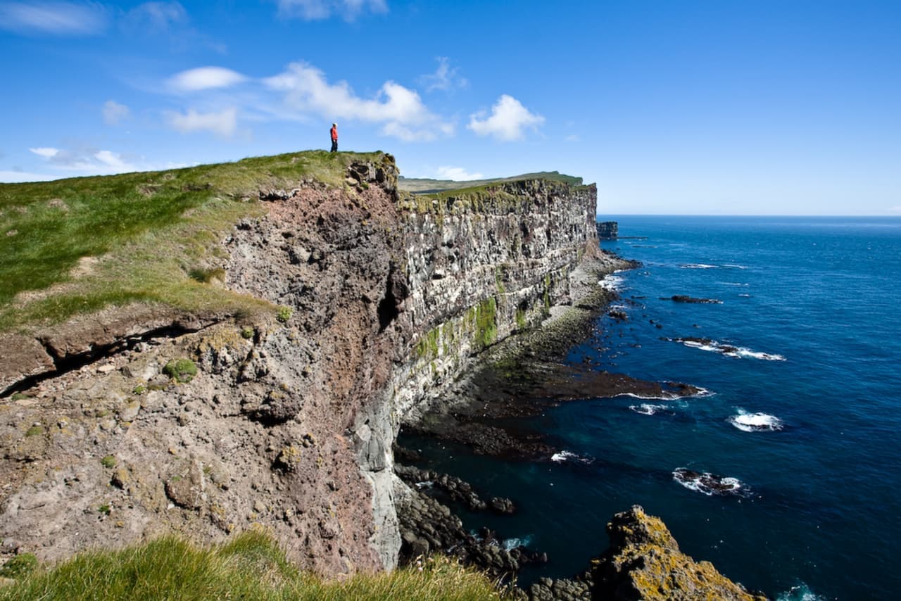
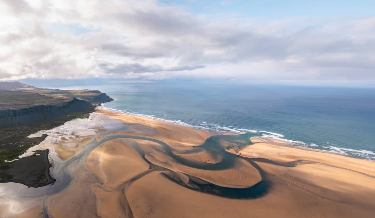
Látrabjarg and Rauðasandur belong to the southern coast decision. Use current reserve guidance instead of planning around a wildlife-photo guarantee.
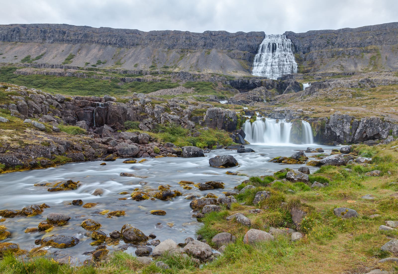
Dynjandi is the central waterfall and route anchor that helps connect southern and northern plans.
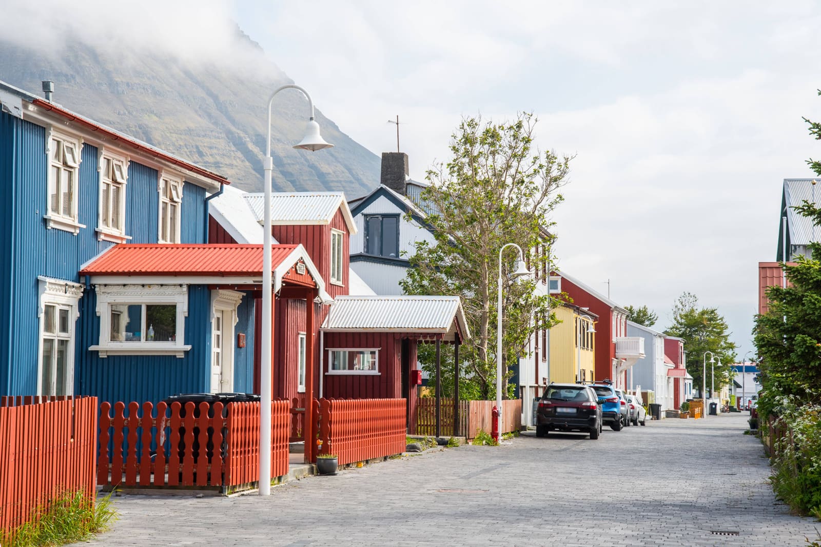
Ísafjörður is the most useful northern base decision, not merely another town stop.
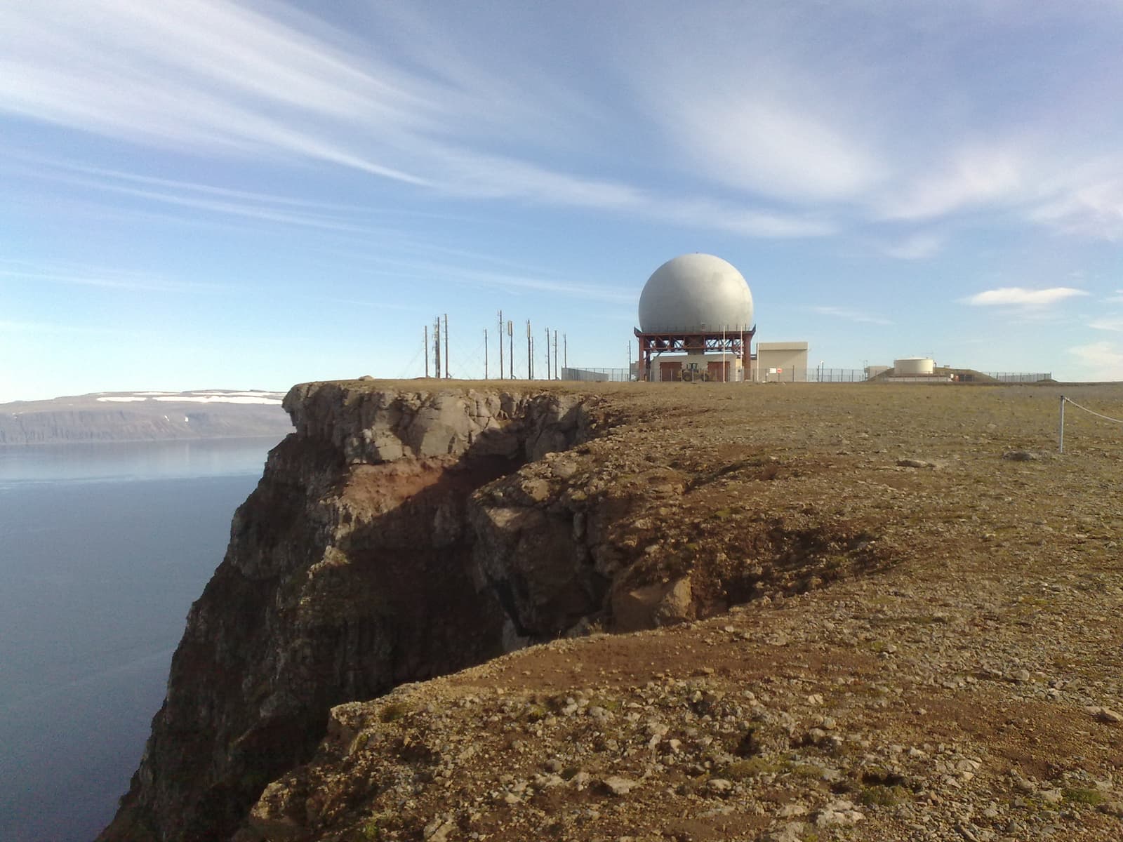
Bolafjall belongs to the Ísafjörður and Bolungarvík branch and needs its own current road check.
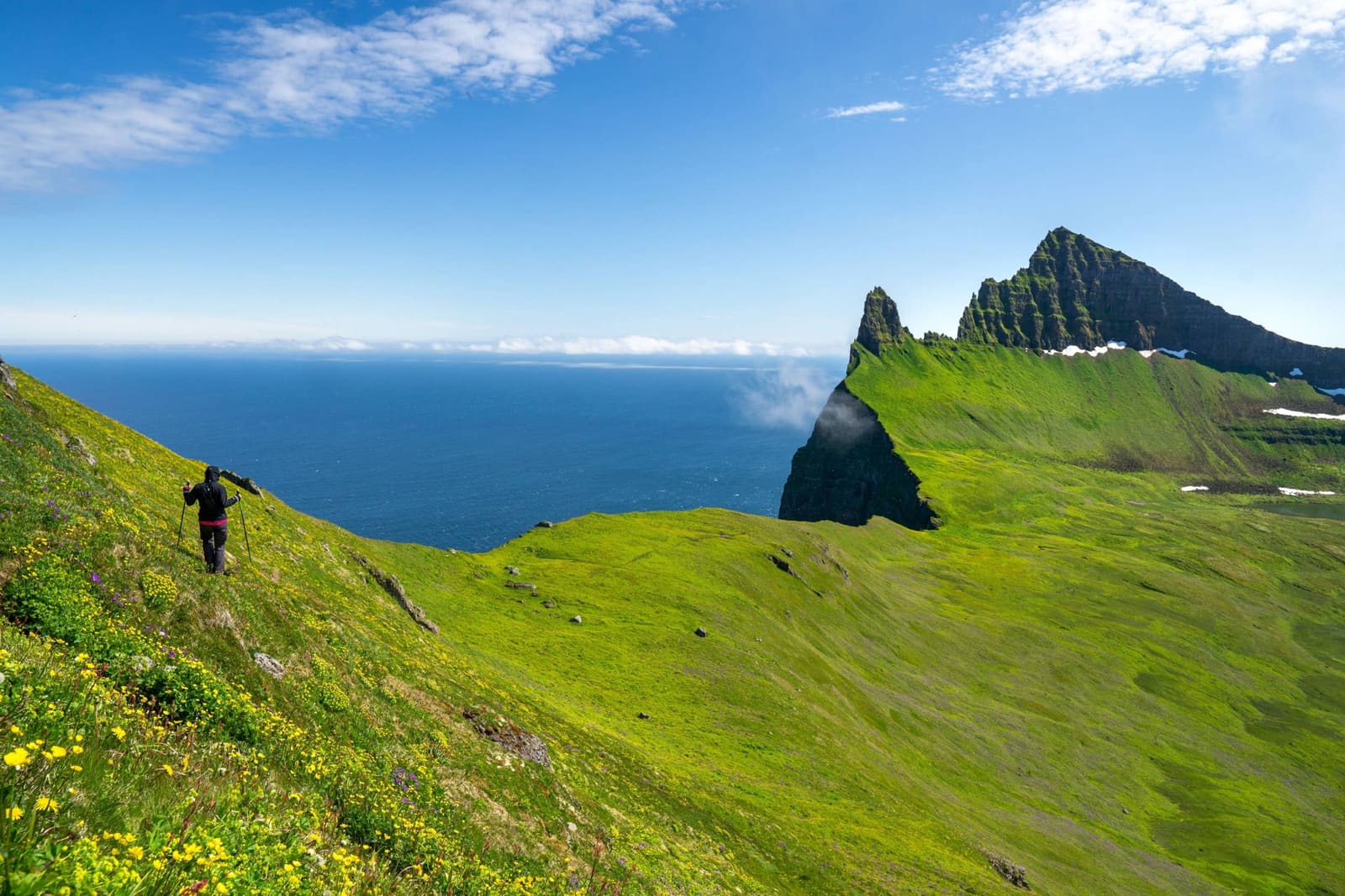
Hornstrandir is a boat-and-hike plan with protected-area rules, navigation demands, supplies, and weather exposure.
If Hornstrandir is a priority, build the surrounding days around its transport and delay risk. If it is not, remove it from the working itinerary rather than treating it as an optional viewpoint.
Within the road-based clusters, Garðar BA 64 is a brief southern-coast history stop, while the Önundarfjörður Pier fits a Flateyri and Ísafjörður transfer. The White-Tailed Eagle Center belongs to a dedicated wildlife and community stop only after its location and current opening details fit the chosen branch.
Road, ferry, and flight are three separate dependencies
Westfjords access can include roads, domestic flights, and—when operating—a vehicle ferry, but none should be treated as a permanent timetable inside a durable region guide.
Official regional guidance identifies several road approaches, domestic airports, and the date-dependent Baldur connection between Stykkishólmur and Brjánslækur. Schedules, capacity, road surfaces, and disruption status require a current check.
The operator's seasonal schedule can be superseded by a current disruption notice. Check both the latest announcement and the reservable date rather than planning from a copied timetable.
Weather slack is part of the itinerary
Westfjords flexibility means enough room to change a mountain-road day, wait for safer weather, or drop a side branch without losing the next fixed booking.
Road and snow conditions can differ between southern and northern parts of the peninsula. The Met Office also publishes a dedicated Westfjords forecast rather than treating the area as one national weather point.
Check the exact road on Umferðin, the Westfjords forecast, and SafeTravel conditions before departure. Even a summer route may need to change for wind, visibility, surface conditions, or an official warning.
Final scheduled sailing 5 October; dry dock from 6 October is expected to take four to six weeks. Confirm any later resumption announcement.
Choose the Westfjords when remoteness is the point
The Westfjords reward travelers who want the road scale, small communities, and a slower regional sequence—not just extra famous places.
When the Westfjords fit and when to choose another region.
Choose the Westfjords when…
Choose another region when…
Several nights can become a dedicated segment
The peninsula has only one leftover night
The group can cut a branch after a road or weather check
Every saved stop is treated as non-negotiable
Long fjord drives and small-town bases are part of the experience
The drive is considered wasted time between attractions
A particular Westfjords cluster is a primary trip reason
The main goal remains completing the Ring Road on a fixed schedule
West Iceland is the better comparison when the trip wants a westbound extension with less regional commitment. The choice is between two different costs in time and flexibility, not between dramatic and ordinary scenery.
Westfjords mistakes that cannot be fixed by driving faster
The peninsula's common planning errors are structural. More aggressive daily mileage does not solve them.
Adding one Westfjords night to an otherwise complete Ring Road and calling it a loop.
Using Ísafjörður as the nightly base for southern-coast attractions, or Patreksfjörður for every northern branch.
Treating Hornstrandir as a road stop because it appears beside the rest of the region on a map.
Booking accommodation around a generic ferry schedule without checking the latest operator notice.
Assuming the entire peninsula shares one road or weather status.
Building the day around every remote pool or viewpoint instead of one coherent cluster.
Fix the trip by narrowing the geographic scope, moving the overnight forward, or replacing the Westfjords with West Iceland. Do not keep the same scope and remove all the margin.
Continue into named places only after choosing the branch
No dedicated Westfjords route or day-by-day itinerary is published here yet, so continue through the region comparison and named place guides without assuming a ready-made loop.
Compare West Iceland when the trip cannot support a dedicated peninsula segment.
Use driving in Iceland for the general road framework, then switch to live official sources for the exact day.
Browse the road trips hub for wider Iceland route ideas; do not assume those routes include a Westfjords circuit.
Westfjords planning questions
How many days do the Westfjords need?
Two nights can support one subregion, such as the southern coast or the Ísafjörður area. Protect four to five nights for a wider circuit with more than one base and useful weather slack.
Can I add the Westfjords to a Ring Road trip?
Yes, but only as a deliberate departure with its own nights. The Ring Road does not pass through the peninsula, so adding the Westfjords without removing another region usually creates the wrong kind of driving pressure.
Can I drive to Hornstrandir?
No normal road itinerary reaches Hornstrandir. The most common access is by sea, followed by self-sufficient hiking under protected-area rules. Check current reserve and boat guidance before making it part of the trip.
Should I rely on the Baldur ferry?
Treat it as a bookable transport option, not a permanent guarantee. Check the latest operator announcement and exact sailing date before fixing accommodation or onward travel around it.
Is Ísafjörður the best base for the whole Westfjords?
It is the strongest base for the northwest and Ísafjarðardjúp, but not for every southern-coast day. Use Patreksfjörður or another southern base when Látrabjarg, Rauðasandur, and the south are the priority.