Places to see
Iceland Attractions
Compare the places that shape Iceland routes, from quick scenic stops to sights that decide the shape of a whole day.
Useful for
Where to start
Start with the places that shape Iceland routes.
Some attractions are quick scenic stops. Others decide the shape of the whole day. Start with a cluster that helps you compare nearby places before adding more stops.
All place guides
Find sights worth building into your route.
Search and filter attraction pages and visual collections without mixing in route or region hubs.
What do you want to see?
Where?
Route level
Trip style

Námafjall Geothermal Area
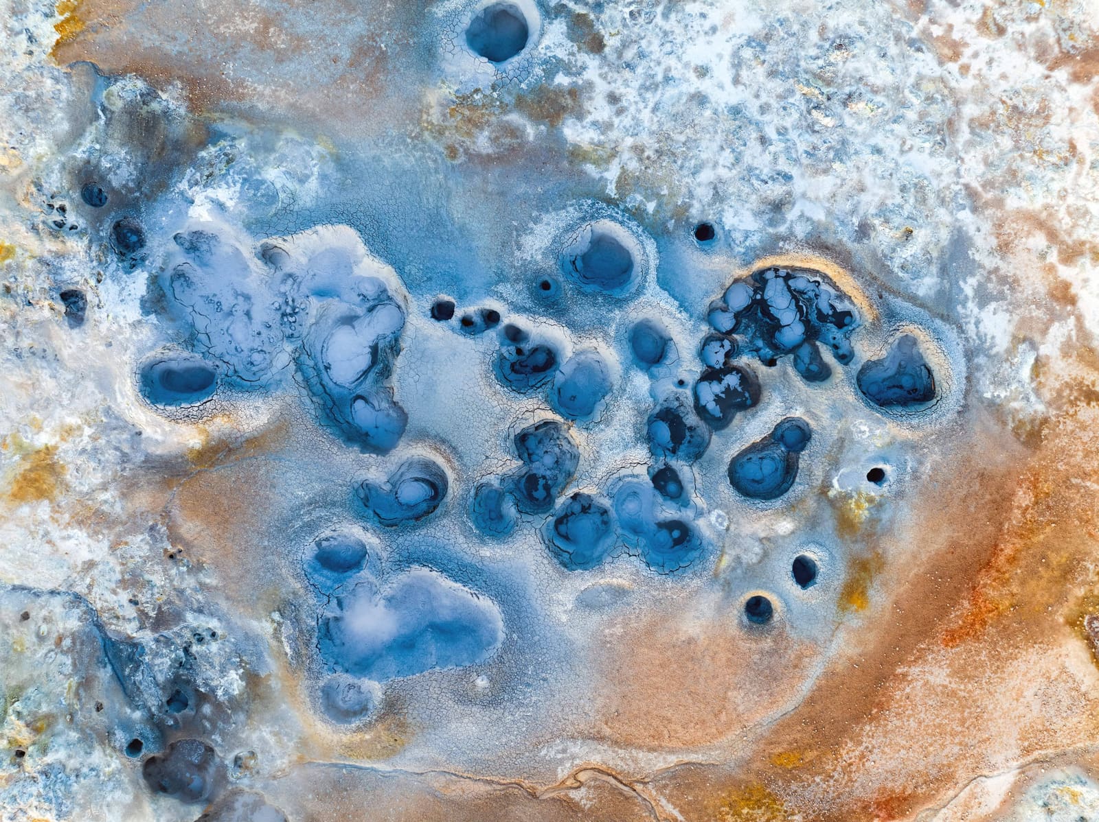
Námafjall Geothermal Area helps Mývatn travelers decode the names around Hverir, Námaskarð, and the geothermal field, then decide whether a short, safety-aware stop fits the route without duplicating nearby pages.
North Iceland · Mývatn · Geothermal area · Name guide
Earth Lagoon Mývatn
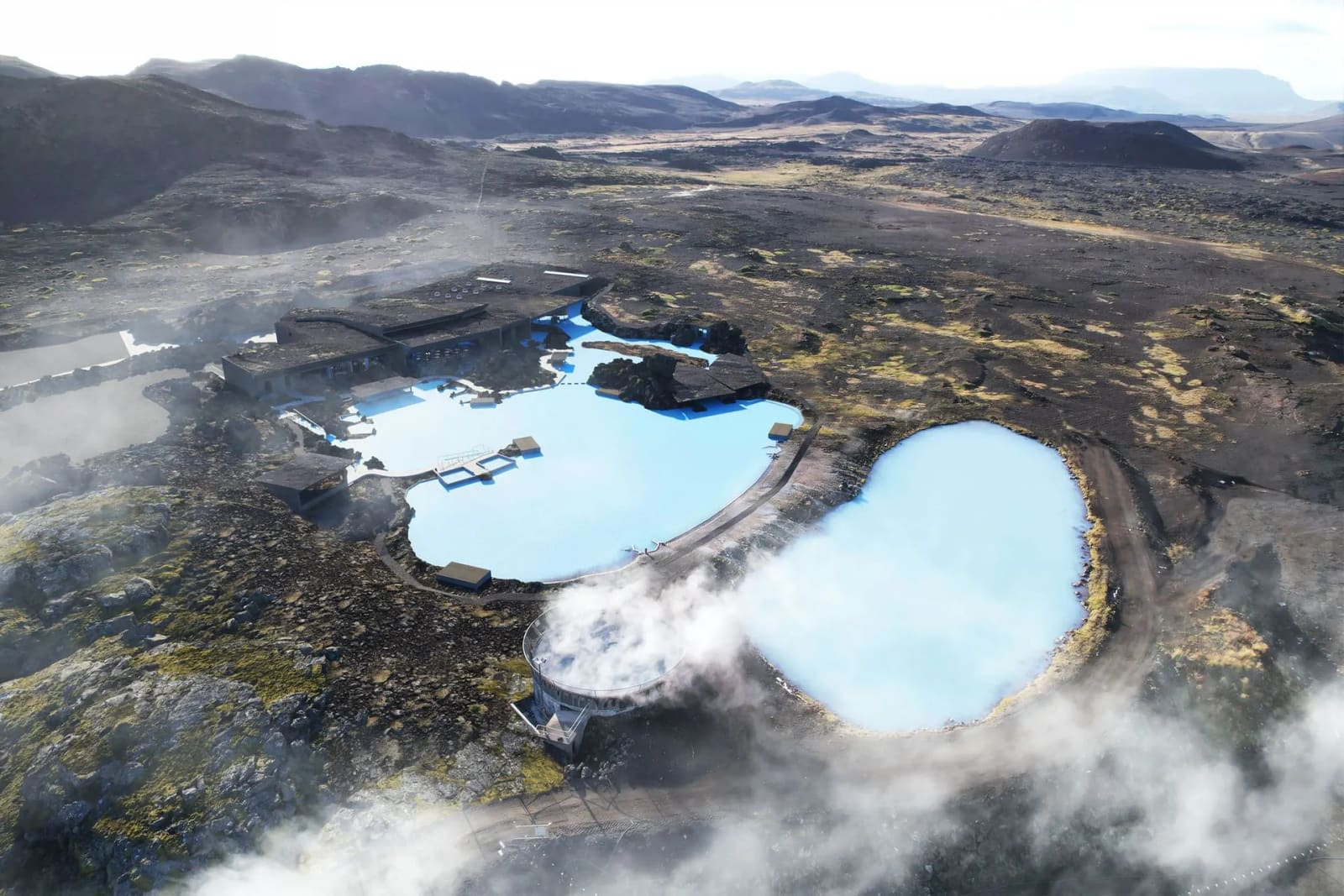
Earth Lagoon Mývatn is a managed geothermal bathing stop near Lake Mývatn, best when a North Iceland route has space for a soak, volcanic scenery, and operator visitor-detail checks.
Mývatn bathing stop · Diamond Circle · geothermal lagoon · North Iceland
Ásbyrgi Canyon
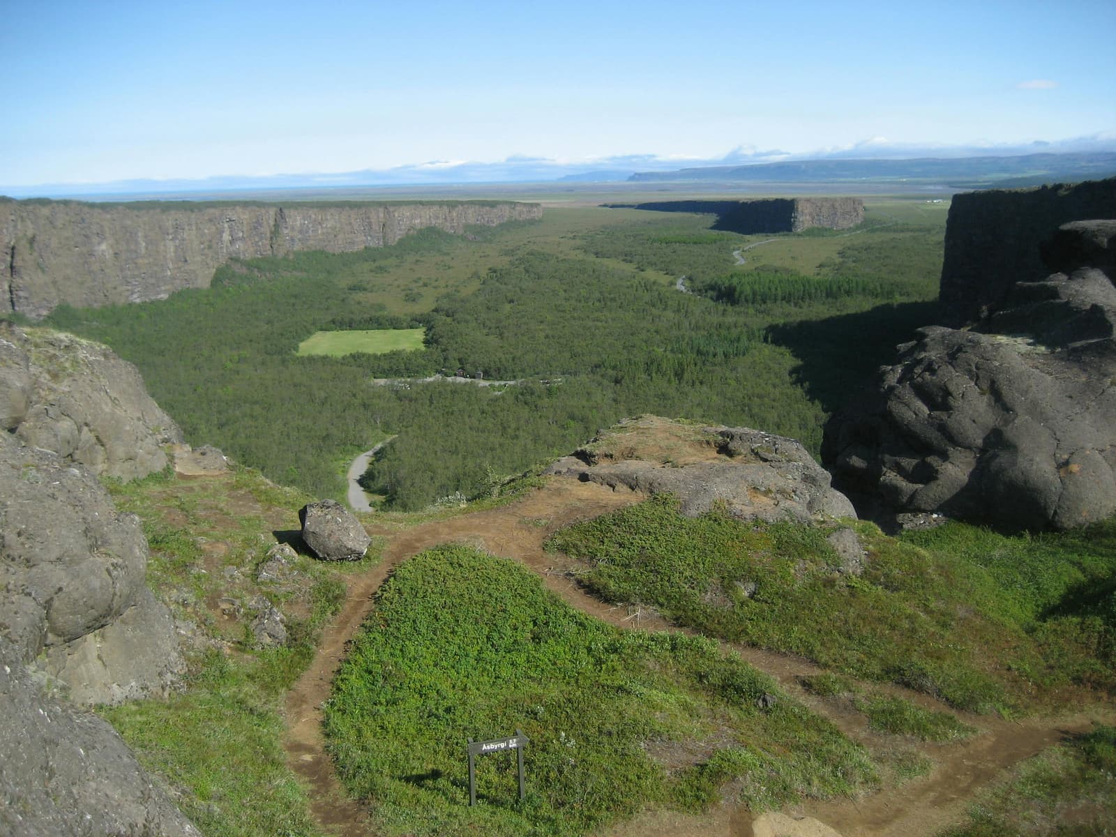
Ásbyrgi is a horseshoe-shaped canyon in North Iceland’s Jökulsárgljúfur area, worth planning as a calm walking stop when Dettifoss, Hljóðaklettar, or the Diamond Circle shape your day, with enough flexibility for conditions and nearby route choices.
North Iceland · Diamond Circle · Canyon walks
Húsavík
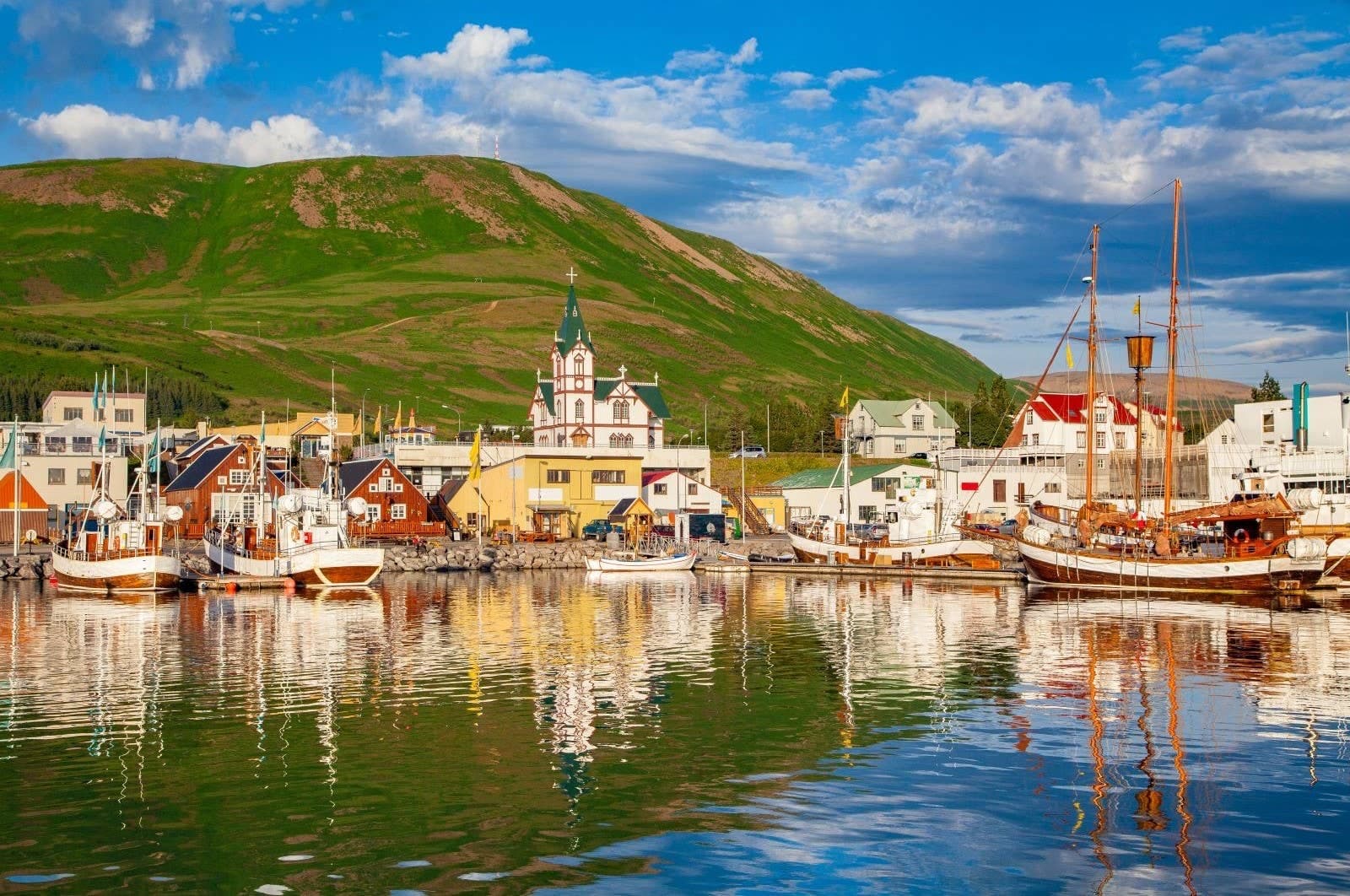
Húsavík is a North Iceland harbor town best known for whale watching on Skjálfandi Bay, but it also works as a Diamond Circle pause with a compact center, church, museums, sea baths, and nearby coastal viewpoints.
North Iceland · Skjálfandi Bay · Whale watching · Harbor town
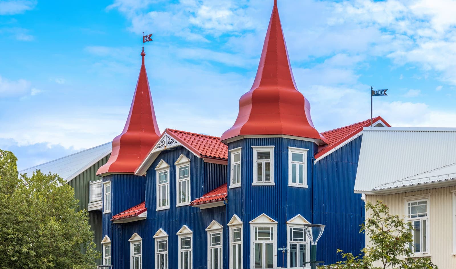
Akureyri
Akureyri is North Iceland’s main town base, best for travelers who want culture, food, harbor walks, and access to Goðafoss, Mývatn, Eyjafjörður, and the Arctic Coast Way without rushing every day.
North Iceland · Town base · Eyjafjörður · Culture and food
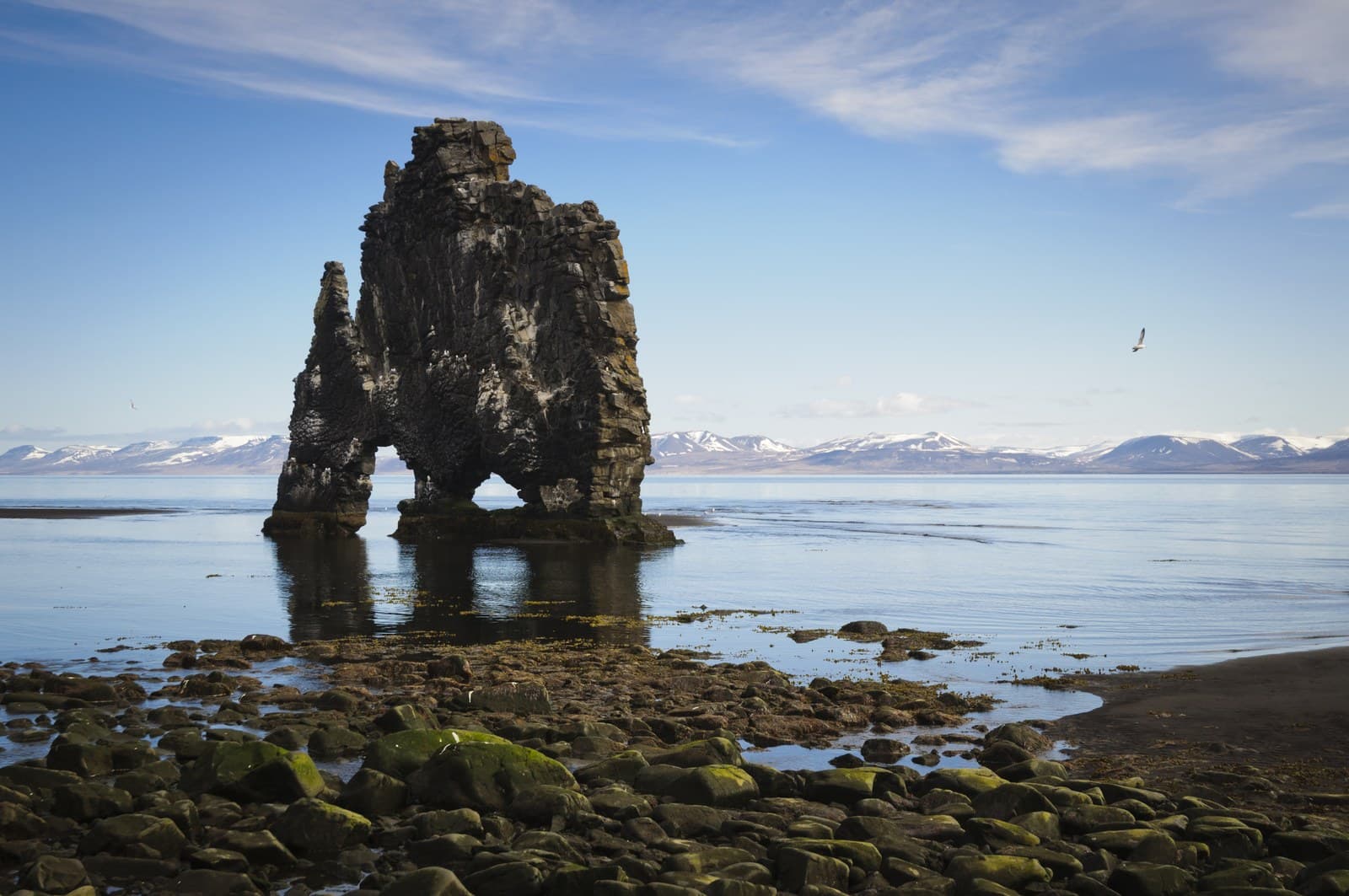
Hvítserkur
Hvítserkur is a basalt sea stack off the Vatnsnes coast in North Iceland, best planned as a short but distinctive detour with viewpoint, beach, and seal-watching context nearby.
North Iceland sea stack · Vatnsnes peninsula · Seal Circle area · Road 711 detour
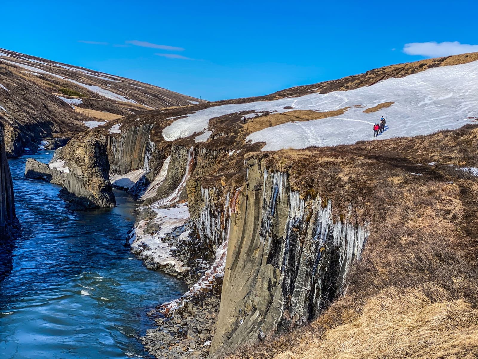
Stuðlagil Canyon
Stuðlagil Canyon is a basalt-column gorge in East Iceland, worth the detour when your route allows gravel-road access, either a quick overlook or a longer hike, and enough flexibility for river color, weather, and footing to shape the visit.
East Iceland canyon stop · Near Egilsstaðir · Basalt-column gorge
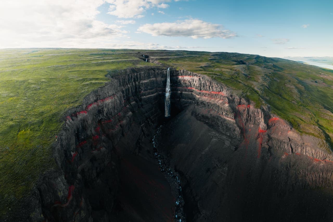
Hengifoss
Hengifoss is a tall East Iceland waterfall above Lagarfljót, best for travelers who want a rewarding gorge hike and can spare enough time for the climb, Litlanesfoss, and weather-aware planning.
East Iceland waterfall hike · Near Egilsstaðir · Red-striped gorge
Vestrahorn
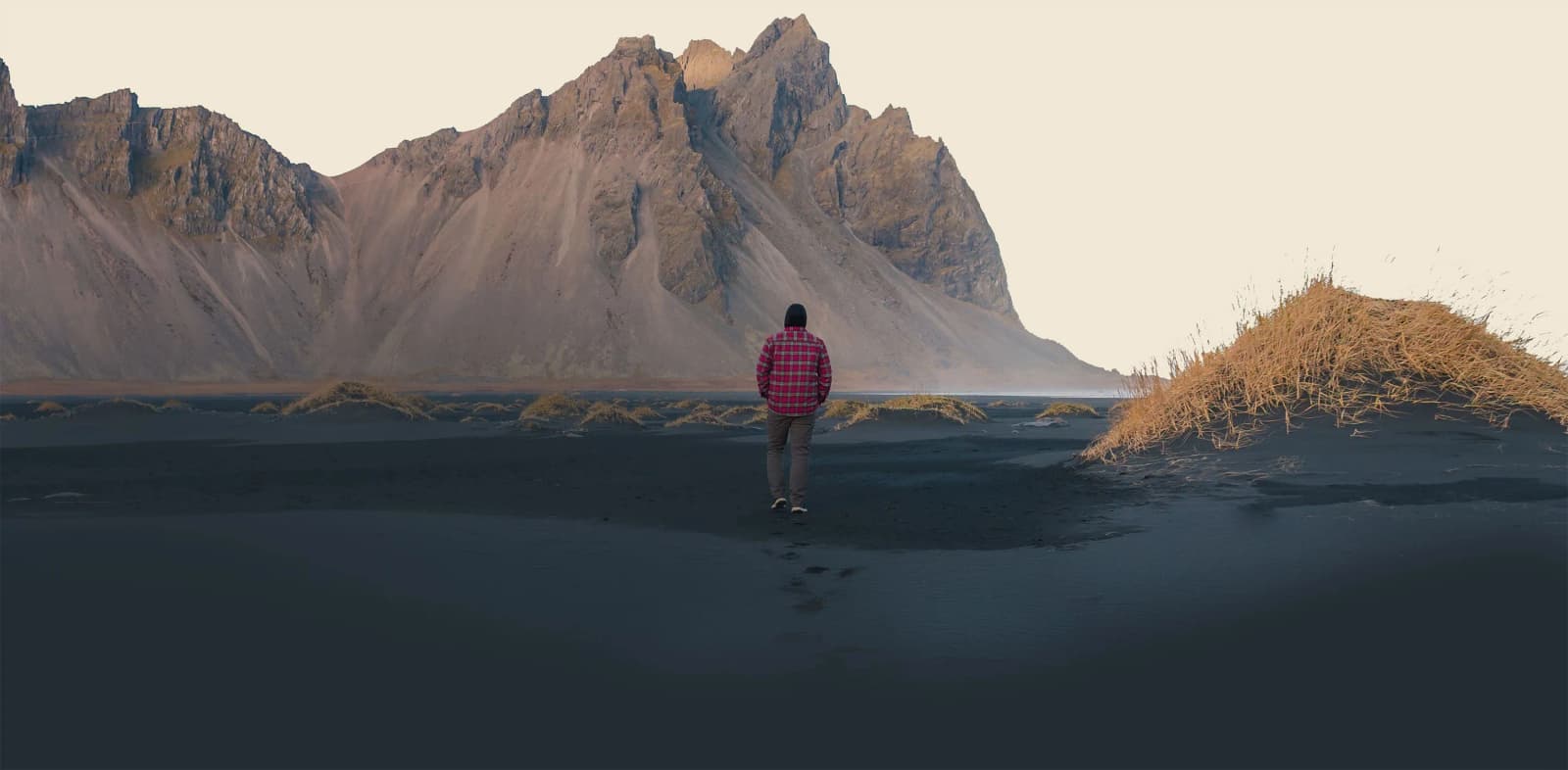
Vestrahorn is a jagged mountain on the Stokksnes side of southeast Iceland, best added near Höfn when clear visibility, black-sand shoreline conditions, and enough route space make the mountain itself the reason for the detour.
Jagged mountain landmark · Near Höfn · Black-sand shoreline · Visibility-sensitive detour
Dynjandi
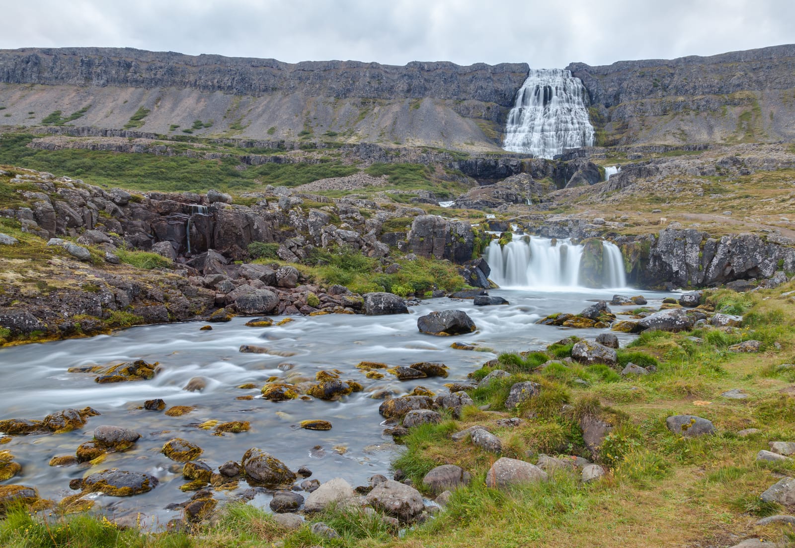
Dynjandi is the Westfjords waterfall many travelers build around, worth planning as a main regional stop with enough time for the fjord drive and lower cascades, with enough flexibility for conditions and nearby route choices.
Westfjords waterfall · 45-90 minute scenic stop · marked uphill path · Route 60 / Westfjords Way
Látrabjarg
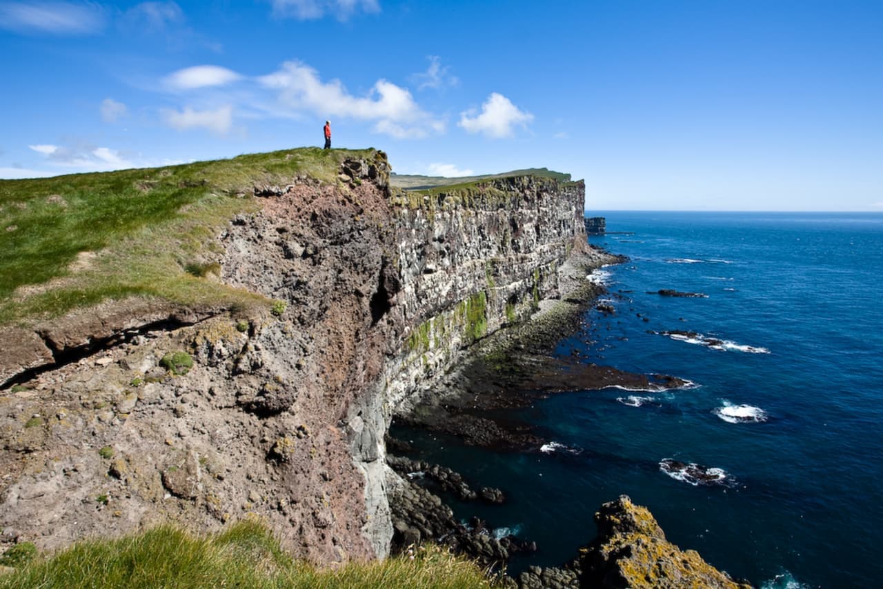
Látrabjarg is a remote Westfjords bird cliff at Iceland’s western edge, worth visiting when summer wildlife, safe cliff behavior, and the gravel-road approach fit your route with enough daylight.
Bird cliffs · Westfjords · Westfjords Way
Hornstrandir
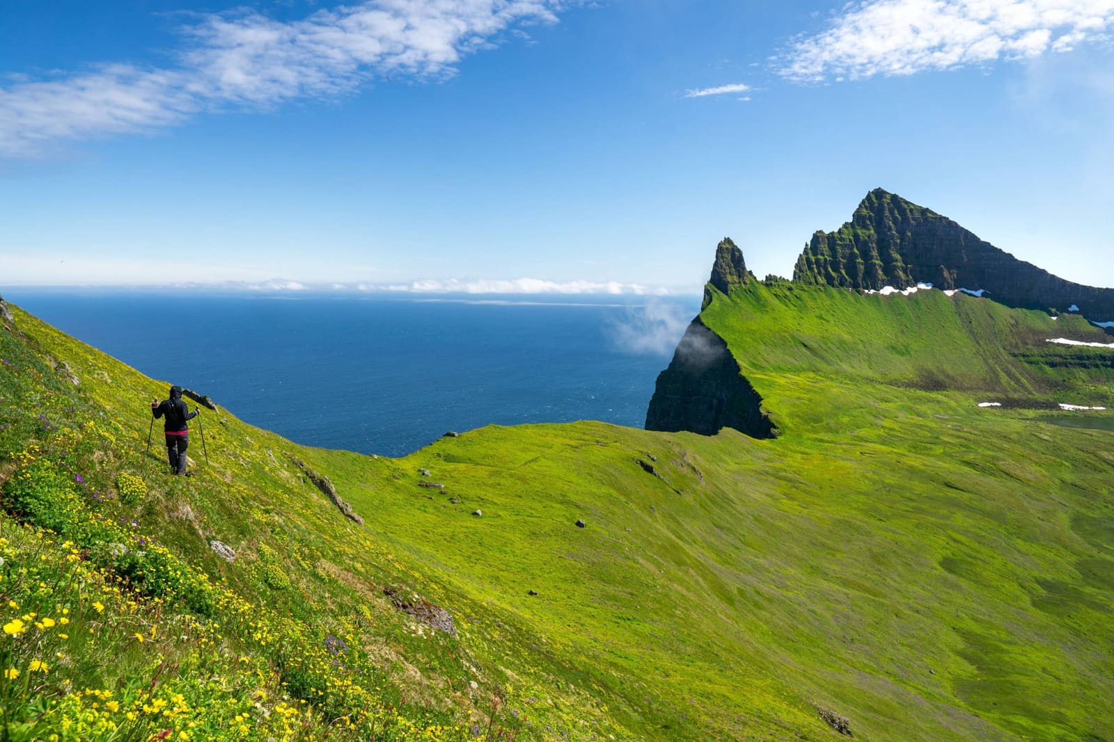
Hornstrandir is a remote Westfjords nature reserve reached mainly by boat, best for travelers who want wild cliffs, foxes, and hiking enough to accept weather, camping, and access planning.
Remote Westfjords reserve · Boat access only · Summer hiking and wildlife · High planning effort
Arnarstapi
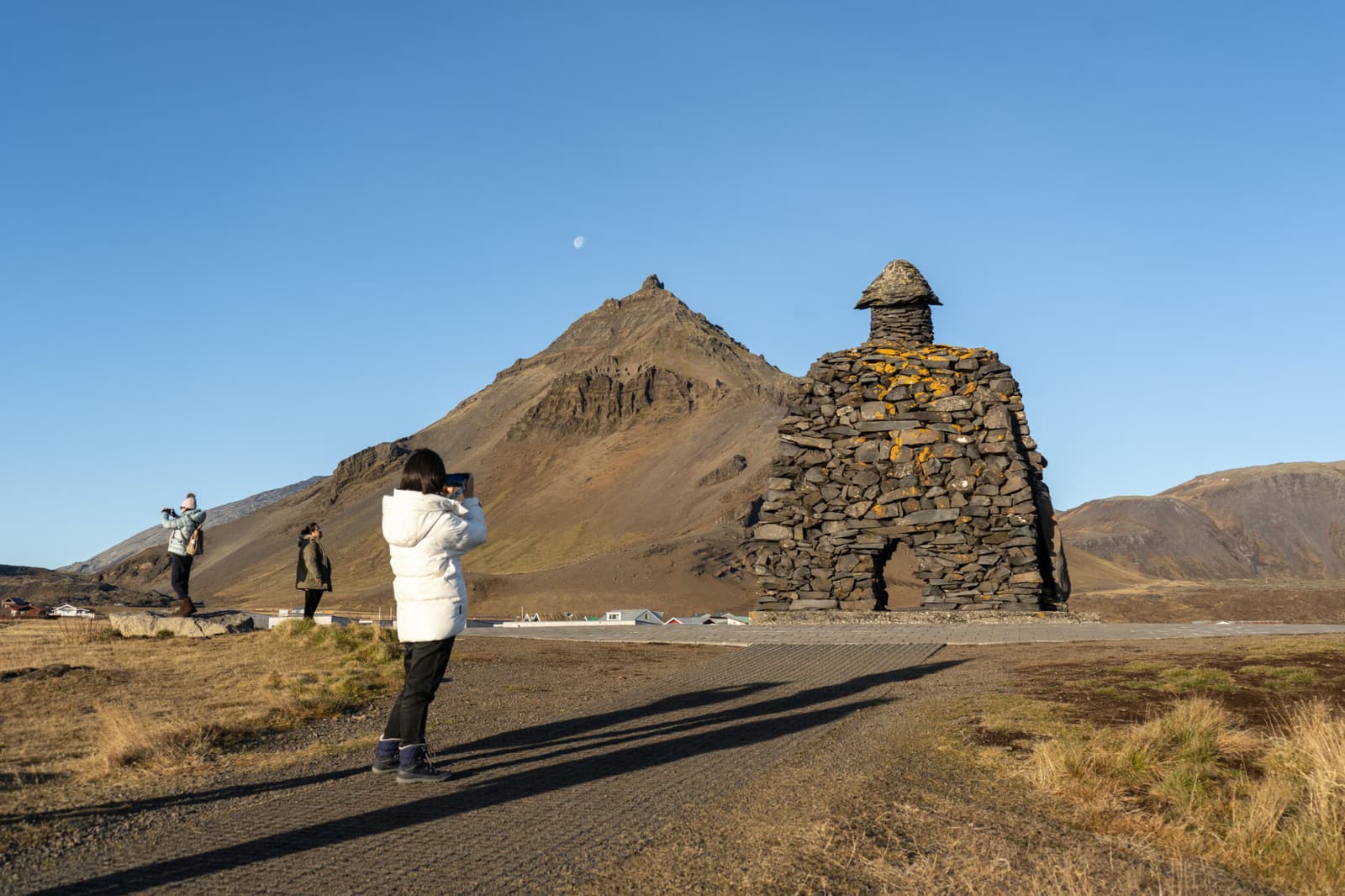
Arnarstapi is a small coastal village on south Snæfellsnes, worth adding when you want sea cliffs, Gatklettur, birdlife, and an easy walking stop that still needs wind, surf, and route-time judgment.
Snæfellsnes coast · 45-90 minutes · Cliffs and village walk
Búðir
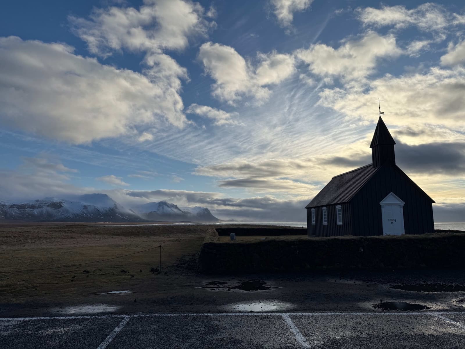
Búðir is a small Snæfellsnes hamlet where the black Búðakirkja church, Búðahraun lava field, coastal light, and glacier backdrop make a short stop feel more distinctive than its size suggests.
Black church · Búðahraun lava field · South Snæfellsnes
Djúpalónssandur Beach
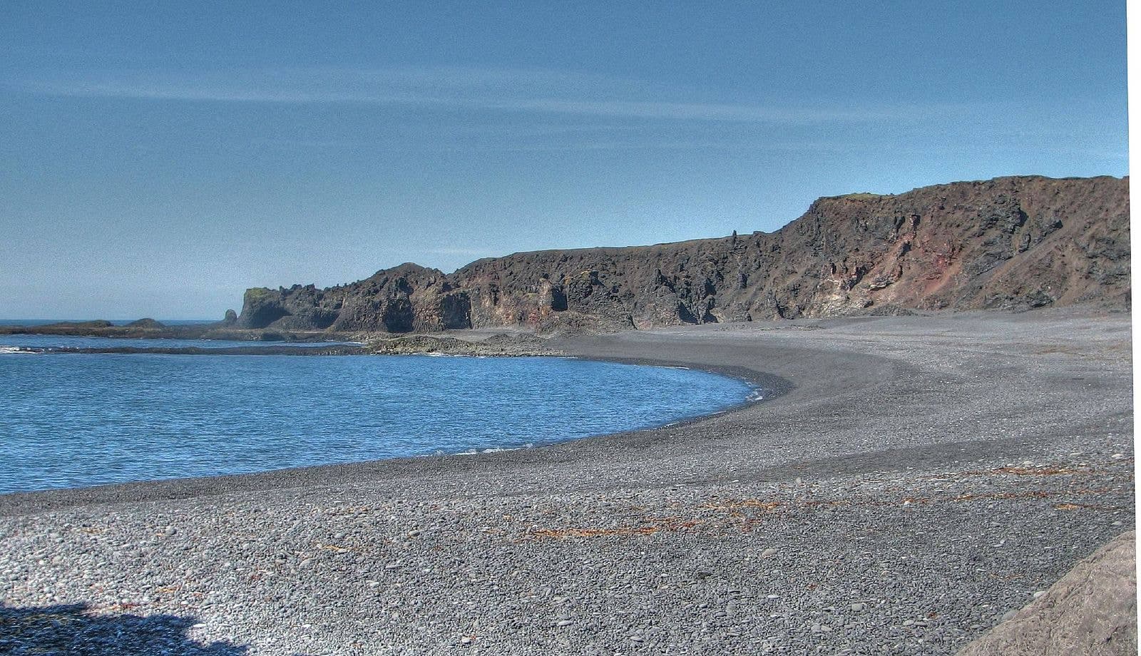
Djúpalónssandur is a black-pebble beach inside Snæfellsjökull National Park, best for travelers linking Snæfellsnes coastal stops who want dramatic lava scenery, fishing history, and a strict ocean-safety reality check.
Snæfellsnes black beach · 30-60 minutes · Ocean-safety stop
Kirkjufellsfoss Waterfall
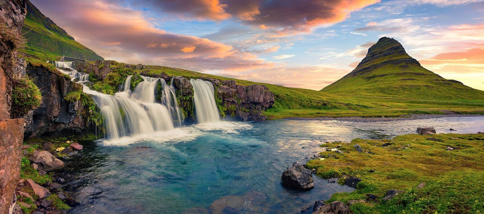
Kirkjufellsfoss is the small waterfall that creates the classic Kirkjufell view near Grundarfjörður, best planned as a short, weather-sensitive Snæfellsnes photo stop rather than a standalone waterfall detour.
Iconic photo stop · Near Grundarfjörður · North-coast Snæfellsnes
Hraunfossar Waterfalls
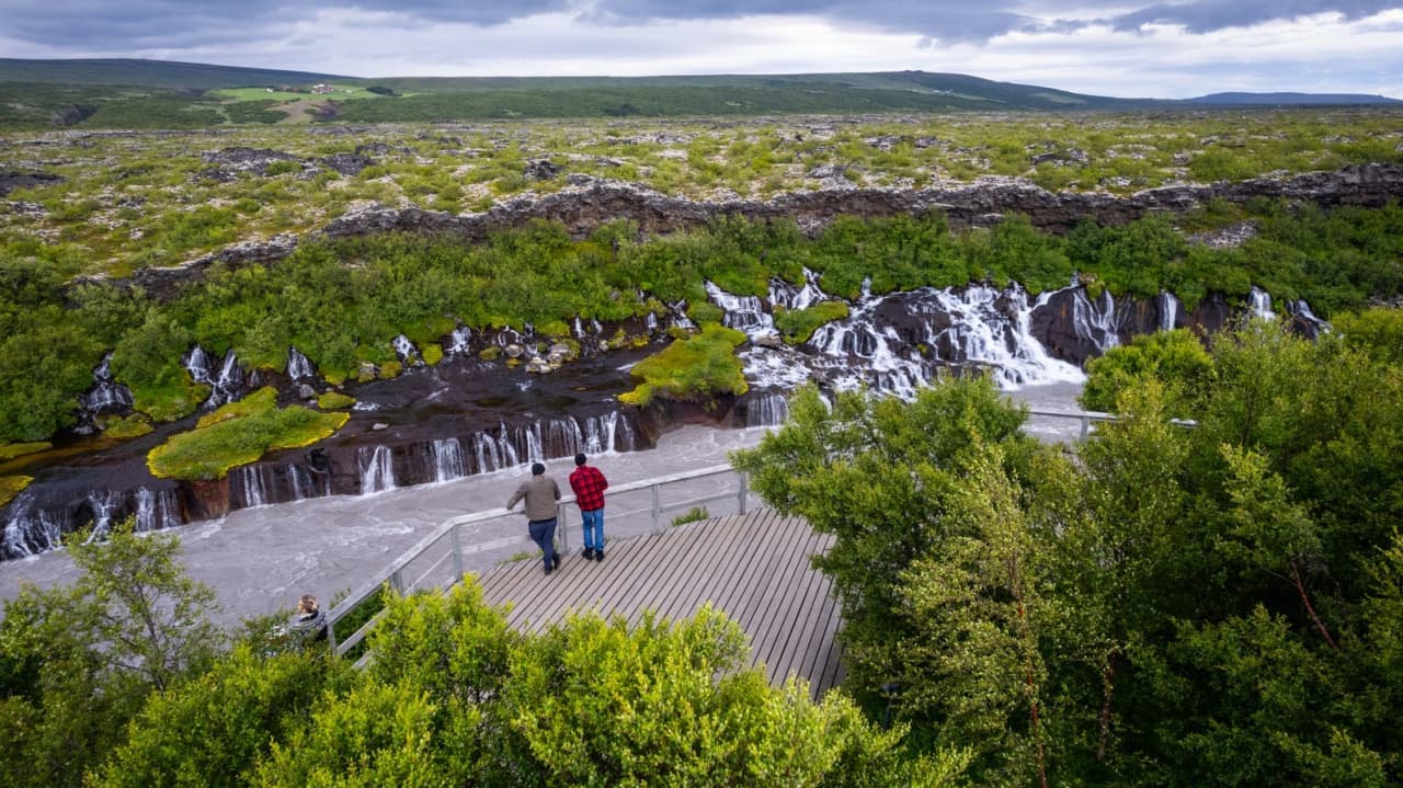
Hraunfossar is a protected West Iceland waterfall area where clear springs stream from Hallmundarhraun lava into the Hvítá river beside Barnafoss, with enough flexibility for conditions and nearby route choices.
Waterfall · West Iceland · Silver Circle
Barnafoss Waterfall
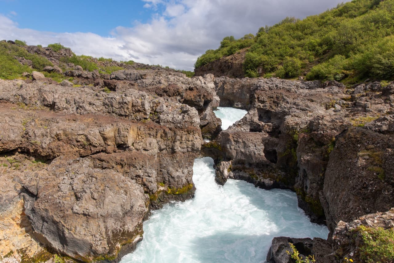
Barnafoss is a fast, narrow West Iceland waterfall beside Hraunfossar, best planned as a shared Borgarfjörður stop where river power and lava-spring scenery contrast in one visit, with enough flexibility for conditions and nearby route choices.
West Iceland · Waterfall gorge · Pairs with Hraunfossar
Deildartunguhver Hot Spring
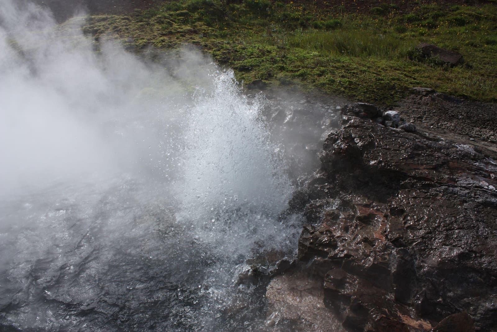
Deildartunguhver is a powerful boiling hot spring in West Iceland's Borgarfjörður area, best visited as a short Silver Circle stop where safety, nearby pairings, and Krauma bathing context shape the decision.
Hot spring · West Iceland · Silver Circle
Bridge Between Continents
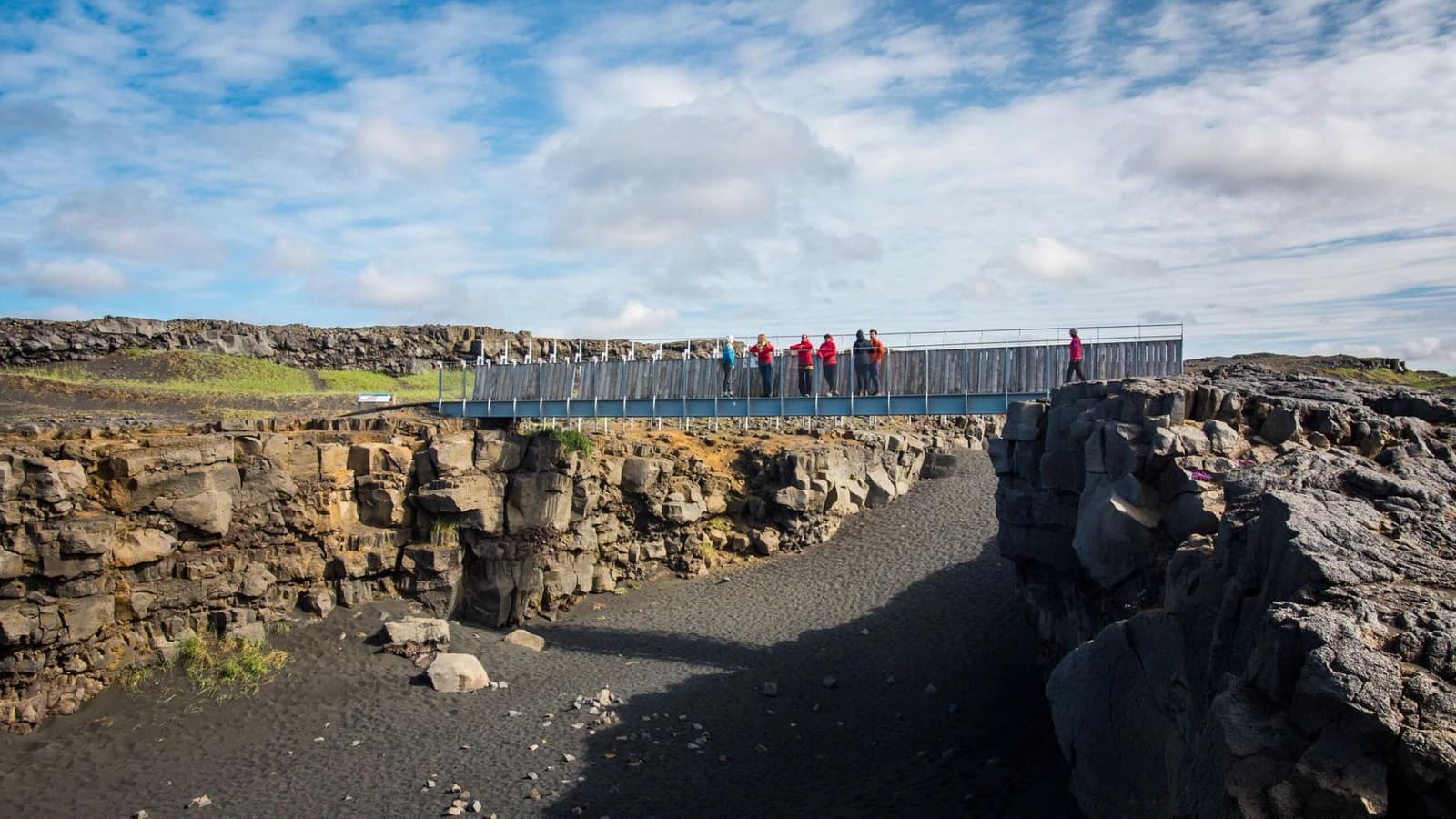
Bridge Between Continents is a short Reykjanes Peninsula stop where a footbridge crosses a visible fissure, worth adding when you want quick geology context, photos, and nearby western Reykjanes pairings.
Reykjanes · Rift bridge · Short stop · Geology
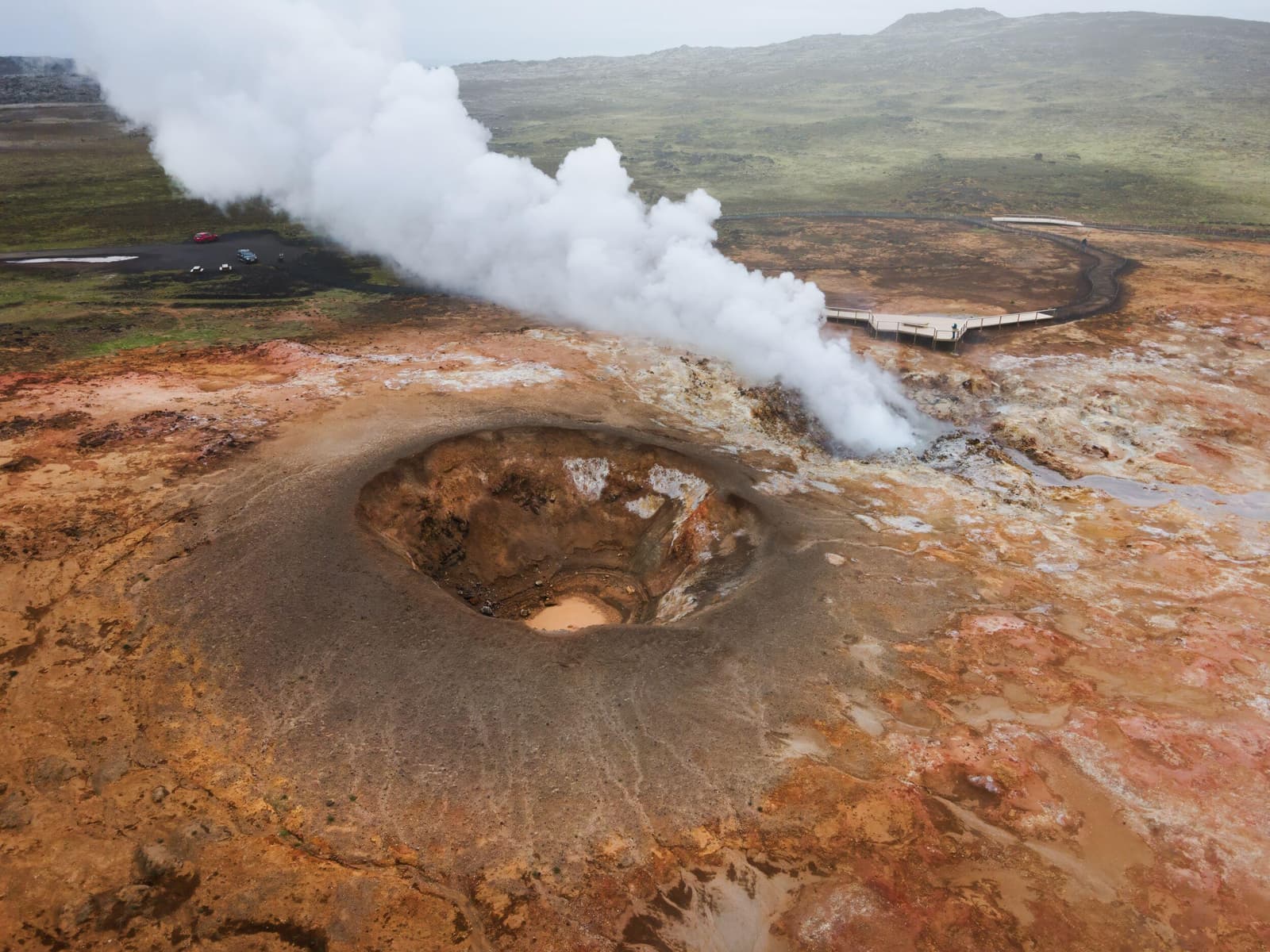
Gunnuhver
Gunnuhver is a volatile geothermal stop on Reykjanes, worth adding for steam, mud, and volcanic context only when wind, paths, and official safety guidance make viewing sensible, with enough flexibility for conditions and nearby route choices.
Reykjanes · Geothermal area · Short stop
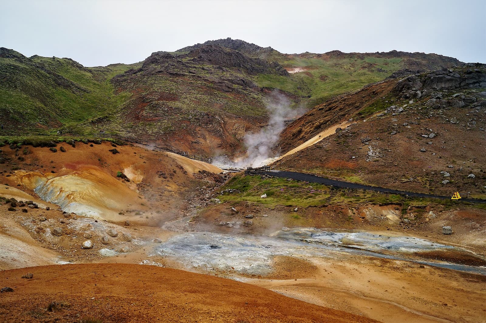
Krýsuvík
Krýsuvík helps travelers make sense of a wider Reykjanes district, with Seltún as the practical anchor and nearby lakes, cliffs, church traces, and volcanic terrain shaping the route.
Reykjanes · Geothermal area · Route context
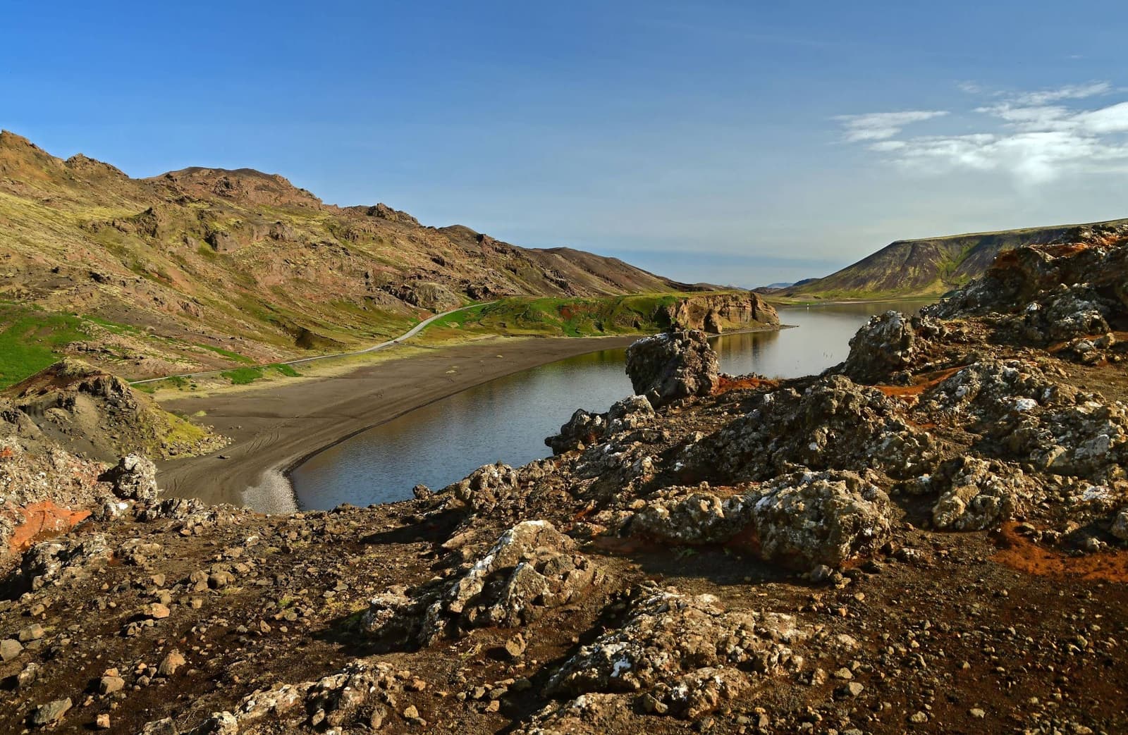
Kleifarvatn
Kleifarvatn is a deep volcanic lake on the Reykjanes Peninsula, worth adding when you have a self-drive loop, clear visibility, and enough time to pair it with nearby geothermal stops.
Reykjanes Peninsula · Lake and volcanic shoreline · 20-60 minutes
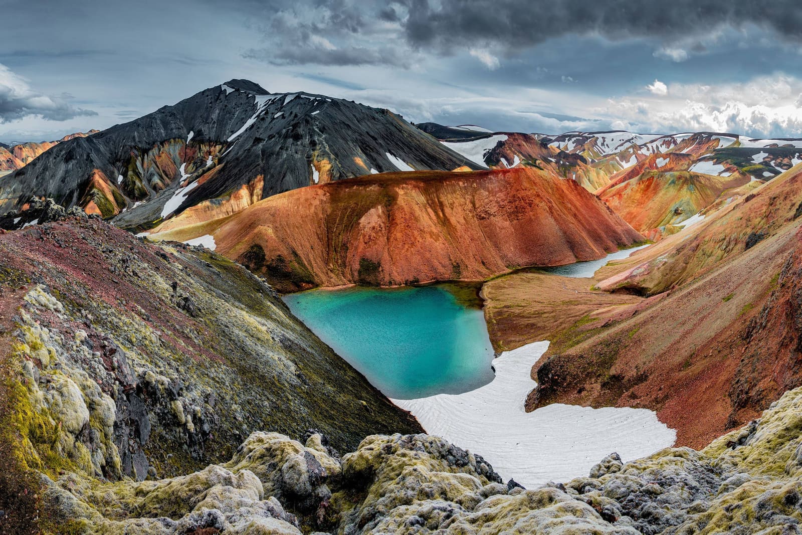
Laugavegur Hiking Trail
The Laugavegur Hiking Trail is a multi-day Highlands trek for travelers who want hiking to anchor the trip. Use this page to judge the commitment, route fit, overnight planning, and official checks before going.
Highlands trek · Landmannalaugar to Þórsmörk · Hut and campsite planning49–72 of 780 attractions
Page 3 of 33
Build a trip around the places you want to see.
Once the sights are clear, use planning pages to turn them into a route with realistic timing.