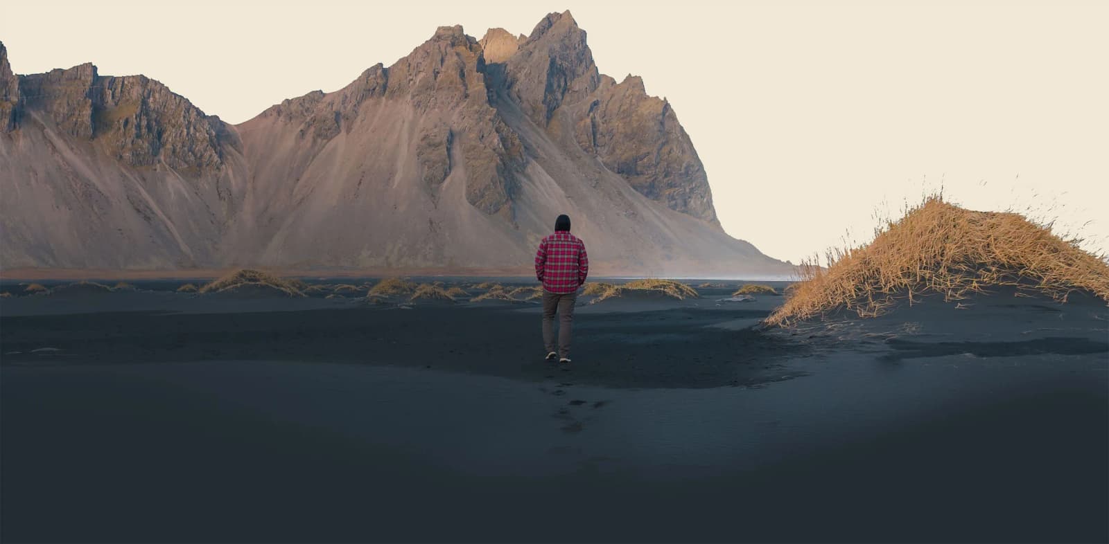
Vestrahorn is a dark, sharply eroded coastal mountain on the Stokksnes peninsula near Höfn. Its gabbro cliffs, black sand, wet reflections, and exposed Atlantic setting create one of southeast Iceland's most recognizable landscapes.
Short stop snapshot
Mountain
454 metres, formed mainly from gabbro with some granophyre
Setting
Stokksnes peninsula on the southeast coast near Höfn
Approach
Operator-managed beach access after a final gravel road
What changes the visit
Mountain visibility, wind, surf, and wet or soft ground
In this guide
Vestrahorn rises directly from the southeast coast
Vestrahorn is a 454-metre mountain whose steep spurs descend toward black sand and the Atlantic Ocean.
Its hard, dark rock is mainly gabbro with some granophyre. That geology gives the ridge a sharper, more exposed profile than many of Iceland's layered basalt mountains. Scree fans run from broken summits toward the shore, while shallow water and wet sand can reflect the whole wall when wind and tide leave the foreground calm enough.
East of the main mountain stands Brunnhorn, a separate horn-shaped outcrop extending toward the sea. It often appears in wider photographs, but it should not be used as another name for Vestrahorn. The mountain, its neighbour, and the coastal foreground together explain why the landscape changes so much as you move around the peninsula.
Regional height, geology, Stokksnes setting, Brunnhorn relationship, and historical context.
Photo guide
Vestrahorn in photos
1 / 2
The aerial view shows how the mountain, peninsula, and coast fit together.
Vestrahorn is the mountain; Stokksnes is the viewing area
Travel sources often use the two names loosely, but the distinction makes the visit easier to understand.
Stokksnes is the peninsula and visitor area that provides the familiar black-sand, dune, lagoon, and rocky-shore views. Vestrahorn is the mountain dominating those views. The same managed area also contains the Viking film-set attraction and a radar station, but neither defines the mountain itself. A Vestrahorn visit can remain entirely about the natural landscape.
Snow emphasizes Vestrahorn's steep gullies above the Stokksnes shoreline.
Access to the beach and paths is managed by the local operator and requires admission. The final approach is gravel; the operator says ordinary cars can use it in normal conditions, while heavy winter snow may change what is suitable. Check the live operator information instead of copying an old ticket price or assuming that a photograph from the roadside includes beach access.
The site is close to Höfn, but it is not a highway pull-off. The gravel approach, admission stop, and movement between viewpoints add real time. That is useful to know without turning Vestrahorn into a larger route itinerary: decide whether you want only the classic view or time to walk before entering the managed area.
The foreground matters as much as the peaks
Black sand, grass hummocks, shallow water, and surf determine how Vestrahorn looks and how comfortably you can explore it.
A completely clear sky is not required. Low cloud can add scale and changing light can reveal the mountain gradually, but cloud that covers the ridge removes the defining view. Strong wind can roughen the reflective water and make the exposed shore unpleasant. In winter, snow may simplify the slopes while making the approach and walking surfaces more demanding.
Treat the Atlantic edge as an active coast. Keep a generous distance from breaking waves, avoid slippery wet rocks, and follow barriers or instructions on site. Seal sightings are possible but never guaranteed. Visit for the mountain-and-shore landscape rather than expecting wildlife, perfect reflections, northern lights or an empty beach.
A shoreline view is enough unless you came to walk
The classic experience is available without completing a long hike, while marked paths offer a larger outing for prepared visitors.
The operator maps three walks: easy routes through the black-sand and headland areas, and a longer moderate circuit that requires hiking experience and good footwear. The easy label does not cancel the notes about wet, slippery ground. Use the official map for the latest route descriptions and choose a path only after seeing the day's conditions.
For many visitors, moving between a few shoreline viewpoints is the complete visit. Longer walking adds value when Vestrahorn itself is the day's outdoor objective. Before setting out, check the operator's access information, the Icelandic Met Office forecast and warnings, and SafeTravel's current travel conditions.