
Geology snapshot
- Type
- Wider geothermal and volcanic district
- Region
- Reykjanes Peninsula, near Kleifarvatn
- Anchor
- Seltún is the main visitor stop
- Best for
- Short self-drive geology loops
- Nearby
- Grænavatn, Kleifarvatn, Krýsuvíkurbjarg
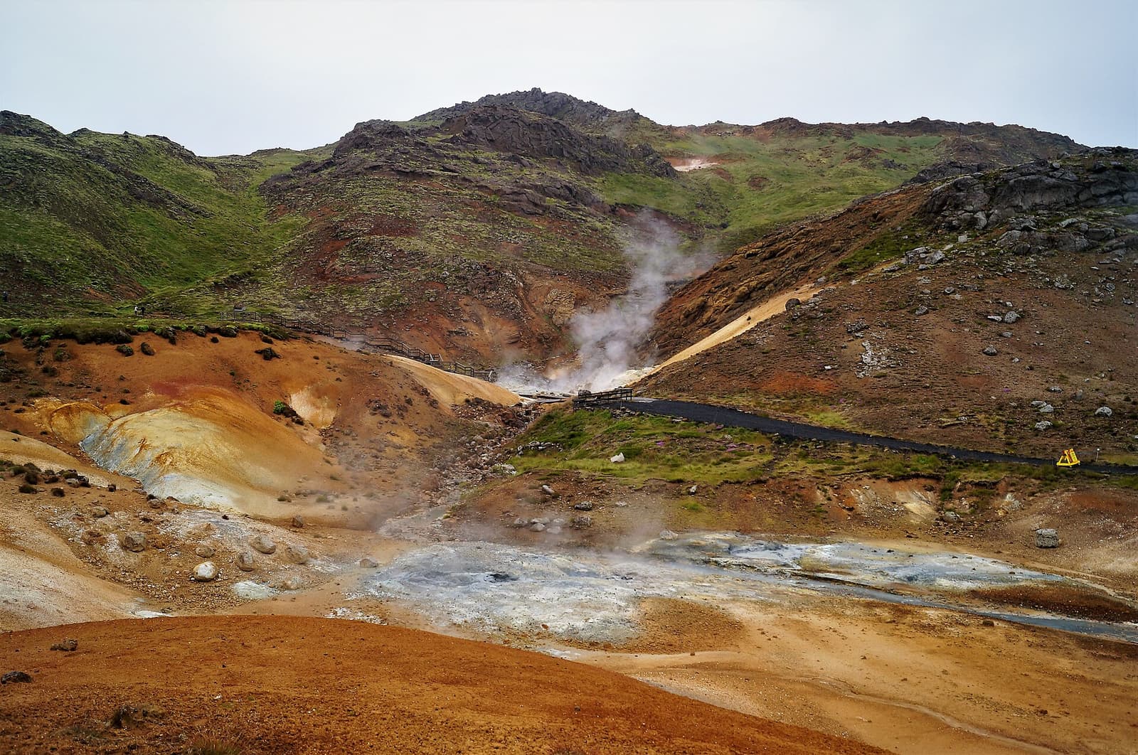
Krýsuvík helps travelers make sense of a wider Reykjanes district, with Seltún as the practical anchor and nearby lakes, cliffs, church traces, and volcanic terrain shaping the route.
Geology snapshot
Krýsuvík is useful when you treat it as a wider Reykjanes landscape district. Seltún is the practical anchor, but the name also points travelers toward crater lakes, the old church area, Kleifarvatn, and the southern coast.
This distinction matters because many maps and travel pages use Krýsuvík loosely. If you only want steam, mud, and mineral color, go straight to Seltún Geothermal Area. If you want a more complete Reykjanes stop, use Krýsuvík as the planning label for a small cluster of geothermal, lake, lava, and coastal places.
Krýsuvík is worth attention when Reykjanes is already part of your day. It is less convincing as a standalone detour if your schedule is really built around the South Coast, a fixed spa booking, or a tight flight-day transfer.
For most visitors, Seltún decides whether Krýsuvík belongs in the route. It is the obvious place to see steam, sulfur colors, bubbling mud, and the marked-path geothermal scene.
Seltún is compact, readable, and easy to pair with other Reykjanes stops. Walk only where the marked route and signs allow, because geothermal ground can be hot, thin, acidic, or unstable. If conditions make the path unpleasant, the broader Krýsuvík plan should shrink rather than become a forced checklist.
Do not confuse this with a bathing stop. Krýsuvík gives you geothermal viewing and landscape context; it does not replace the controlled spa experience of the Blue Lagoon or the planning checks that come with booked bathing facilities.
The area becomes more interesting when Seltún is paired with nearby lake and crater scenery. Grænavatn and Kleifarvatn add shape, water, and a calmer pause after the steam.
Grænavatn is the natural short add-on if you want the volcanic story to feel broader than one geothermal boardwalk. Kleifarvatn is the bigger landscape counterweight, with dark lake edges and mountain-backed views that make the Krýsuvík area feel less like a single stop.
| Plan shape | Use Krýsuvík for | Keep flexible |
|---|---|---|
| Short stop | Seltún only | Path conditions and wind |
| Compact cluster | Seltún plus Grænavatn | Time and visibility |
| Landscape sequence | Seltún, Kleifarvatn, and coast | Roads, weather, and group energy |
Krýsuvík can also point toward the southern Reykjanes coast, especially Krýsuvíkurbjarg, Selatangar, and Ögmundarhraun. This is the rougher, more weather-sensitive version of the area.
Krýsuvíkurbjarg adds sea cliffs and birdlife, while Selatangar and Ögmundarhraun add older coastal and lava-field context. These stops can make a Reykjanes day feel richer, but they are not the same low-friction decision as pulling into Seltún.
Treat the coastal add-on as conditional. Strong wind, poor visibility, nesting sensitivity, road conditions, or nervous passengers are all good reasons to stay with the easier geothermal-and-lake version of the route.
Krýsuvík is close enough to Reykjavík and Keflavík to feel simple, but the practical checks still matter. Road conditions, weather, volcanic updates, and on-site guidance should decide how ambitious the stop becomes.
Check official road information before relying on Road 42 or surrounding routes, especially in winter or unsettled weather. Check the Icelandic Meteorological Office for wind, warnings, visibility, and volcanic updates. Use SafeTravel guidance before exposed coastal or remote-feeling stops.
A sensible Krýsuvík plan starts small and expands only if the day supports it. Begin with Seltún, add a lake if conditions are good, and save the coast for a route where extra driving and exposure make sense. The Reykjanes Peninsula Road Trip is the better next page when you are deciding how this cluster fits with the airport, Blue Lagoon, Gunnuhver, or Reykjavik.
By ThorPublished Updated
Map
Use nearby places and useful bases before opening directions.
Interactive planning map for Krýsuvík
Interactive map
Place context and external map links remain available without loading it.
Planning context
Open the region or practical guide that resolves the next planning decision.
Wider route
Use broader place relationships for route comparison; they are not presented as immediate nearby stops.
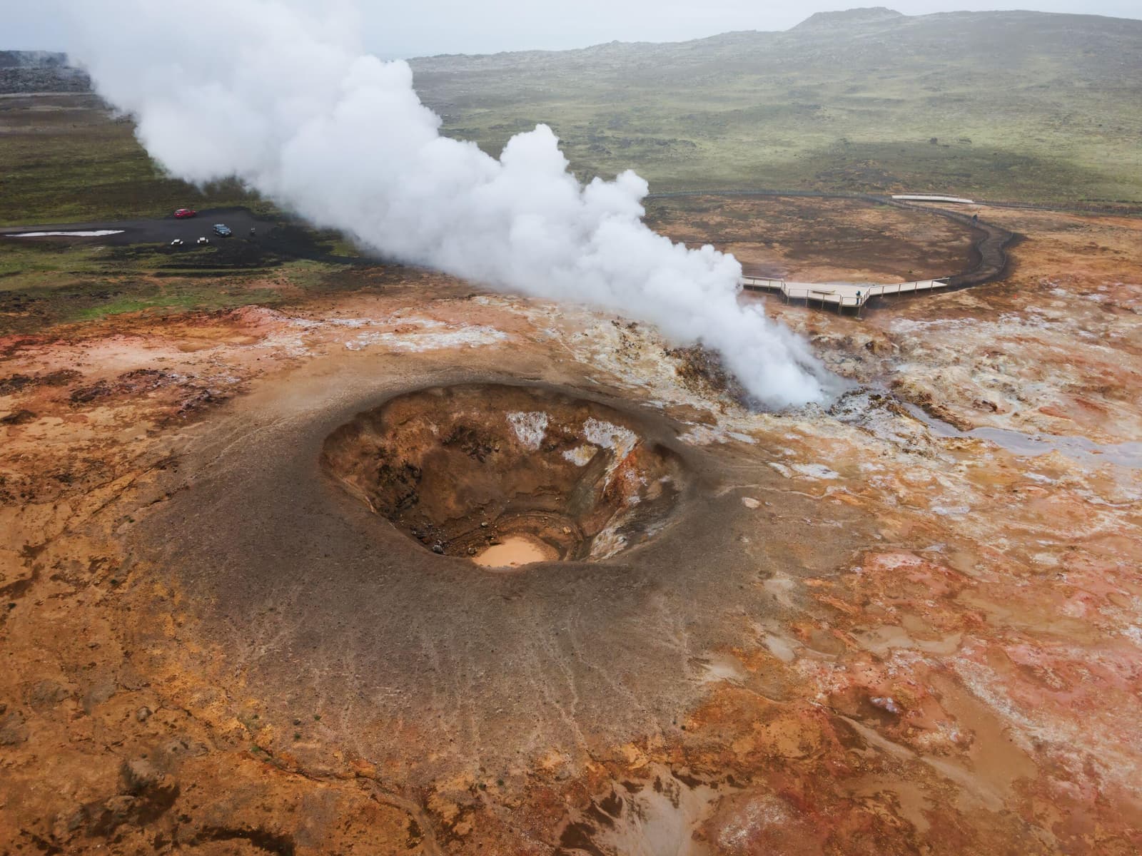
Gunnuhver is a volatile geothermal stop on Reykjanes, worth adding for steam, mud, and volcanic context only when wind, paths, and official safety guidance make viewing sensible, with enough flexibility for conditions and nearby route choices.
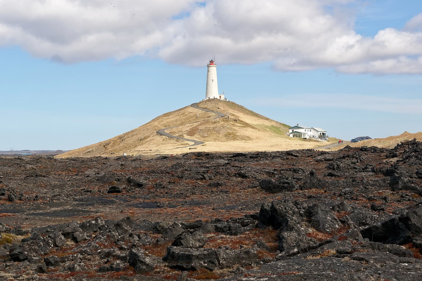
Reykjanesviti is a lighthouse stop at the edge of Reykjanes, useful when Gunnuhver, cliffs, waves, and peninsula driving conditions already shape the day, with enough flexibility for conditions and nearby route choices.
