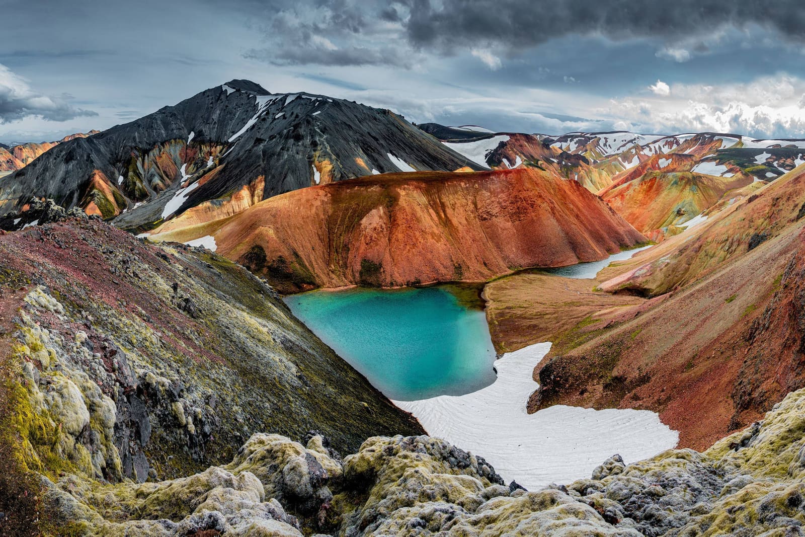
Laugavegur links Landmannalaugar and Þórsmörk through rhyolite mountains, dark volcanic plains and river valleys. Allow several hiking days, book each overnight and leave room for changes in Highland weather.
Access reality
Type
Multi-day highland hiking trail
Route
Landmannalaugar to Þórsmörk
Distance
About 55 km; published stage distances are rounded
Pace
Four hiking days is a common stage plan, plus transport and weather margin
Access
Seasonal trailhead transport; confirm road access and dated services
In this guide
From Landmannalaugar to Þórsmörk
Laugavegur crosses several distinct landscapes in the southern Highlands.
The trail links Landmannalaugar with Þórsmörk through Iceland's southern Highlands. Travelers choose it for the journey itself: rhyolite mountains, geothermal ground, obsidian and black sand, lakes, river valleys, and the greener finish toward Þórsmörk.
Several days of hiking make this a substantial part of an Iceland trip. The full route suits hikers prepared to carry their equipment through exposed terrain and manage overnight logistics. For a shorter visit, choose a day walk at either trailhead and keep the rest of your sightseeing schedule separate.
Distance and four hiking stages
A four-day plan follows the main overnight stops, with time before and after for transport.
FÍ describes Laugavegur as about 55 km. Its four published stage distances below add up to 56 km, so use them as rounded planning figures. A shorter schedule combines stages and increases the daily effort; bookings, pack weight and conditions should determine your pace.
The open ground around Hrafntinnusker is particularly exposed to poor visibility. Snow, cold rain and wind can slow progress even in summer. River crossings remain a separate decision on the day; a planned stage length does not establish that a crossing is safe.
FÍ's north-to-south stages; distances are approximate.
Stage
Approximate distance
Landmannalaugar → Hrafntinnusker
12 km
Hrafntinnusker → Álftavatn
12 km
Álftavatn → Emstrur
17 km
Emstrur → Þórsmörk
15 km
The first stage climbs from Landmannalaugar toward the exposed Hrafntinnusker area.
Booking huts, camping and trailhead transport
Arrange all overnights and both ends of the journey before setting out.
FÍ requires confirmed hut or campsite bookings before departure. Its Laugavegur hut bookings run north to south, from Landmannalaugar toward Þórsmörk. Match transfers to those reservations and check the operator's actual service dates; a summer timetable does not establish autumn availability.
Hut guests need their own sleeping bag and food. Campers use designated campsites and bring their own cooking equipment: a campsite reservation does not include access to the hut kitchen. Check each overnight's facilities and carry what your arrangement requires.
Carry navigation you can use without mobile reception, plus enough battery capacity.
Pack waterproof layers and equipment for cold, exposed conditions; camping adds shelter requirements.
Leave a travel plan and check forecasts, alerts and trailhead road status.
Allow transport and weather margin beyond the four walking stages.
Open stretches offer little shelter, so carry the equipment needed between overnight stops.Landmannalaugar's hut and designated campsite are separate overnight arrangements. Confirm the facilities included in your booking.
Finishing at Þórsmörk or extending to Skógar
Þórsmörk is the end of the core Laugavegur route.
Arrange onward transport from Þórsmörk before starting. A rest day or short local walk can fit after the trek, but allow for tired legs and changes to the forecast.
Continuing over Fimmvörðuháls to Skógafoss adds another exposed mountain crossing. Checked 10 September 2026: SafeTravel's September alert advises against hiking Fimmvörðuháls because of dangerous conditions. Do not add the crossing while that advice applies; consult the current SafeTravel alert linked below before changing the plan.
If the forecast, hut plan, or transport plan does not line up, shorter visits around Landmannalaugar, Þórsmörk, Stakkholtsgjá, or classic South Coast stops may make a more reliable trip.
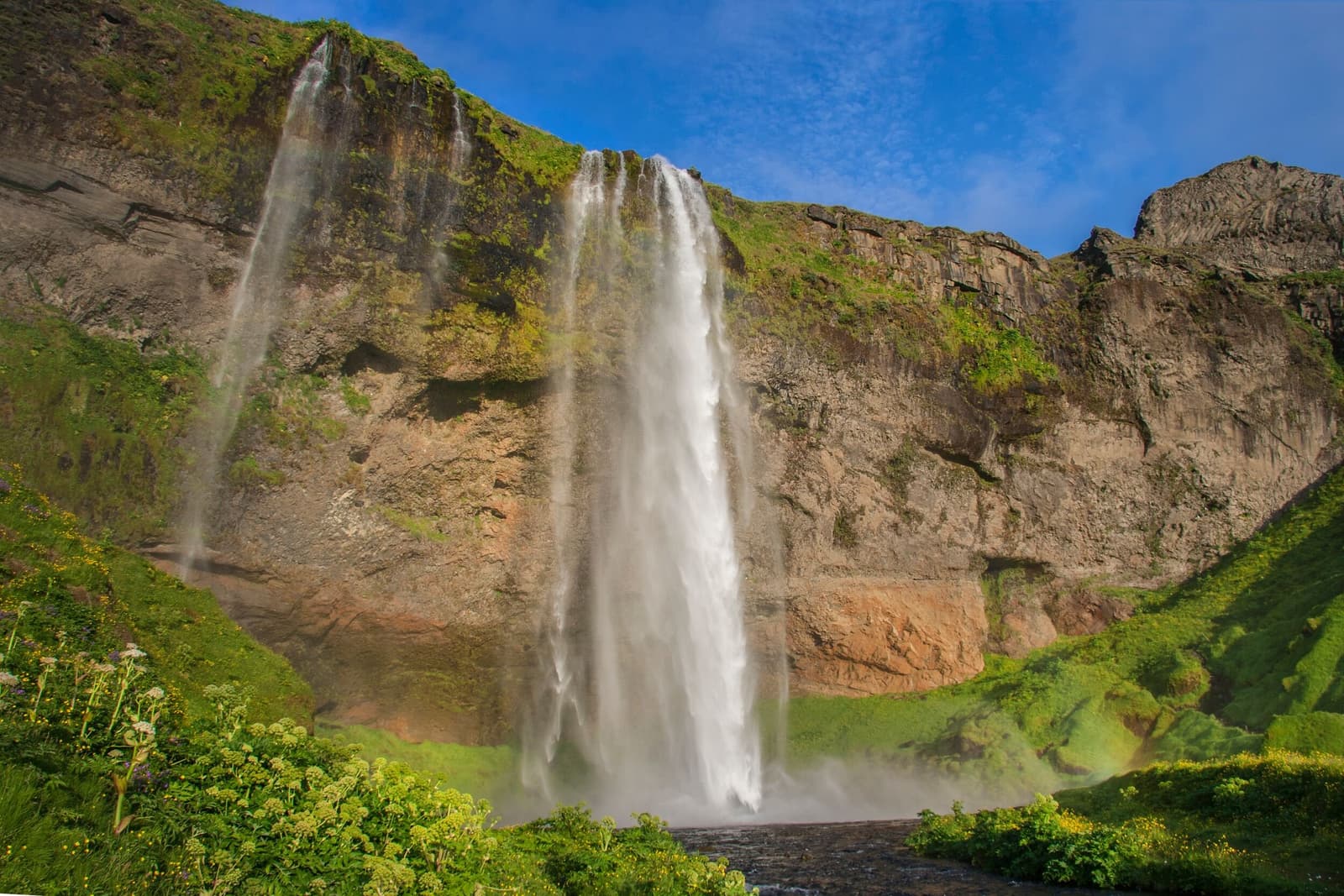
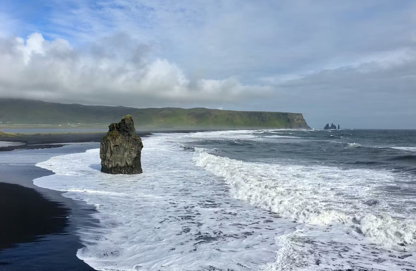
The southern side of the route feels very different from the rhyolite terrain near Landmannalaugar.
Trail sources and common questions
Check route and service details with FÍ, then review current road, weather and safety information.
Use FÍ for the trail structure, huts, campsites, and operator details. Use SafeTravel for hiking preparation and travel-condition guidance. Use the Icelandic Met Office for forecasts and warnings. Use Umferðin for road access before trusting a highland transfer or self-drive approach.
Is Laugavegur the same as Laugavegur street in Reykjavík?
No. This page is about the multi-day Highlands hiking trail between Landmannalaugar and Þórsmörk. Laugavegur street is a separate Reykjavík city-center place.
How many days should most hikers plan?
Four hiking days is a common plan for the main stages. Add trailhead transport, any extra overnight stays and weather margin. Combining stages into fewer days increases the effort and must fit your reservations and ability.
Can you treat Laugavegur as a day hike?
Most travelers should not treat the full route that way. Day hikes around Landmannalaugar or Þórsmörk can give a taste of the landscape without committing to the full trek.
This marker locates the trail area, not a vehicle arrival point. Arrange access to your chosen trailhead separately; use this map for orientation only.
Region
Highlands
Works well with
Highlands routes
Useful base
Vík
Interactive planning map for Laugavegur Hiking Trail
Interactive map
Load the map when you need it
Place context and external map links remain available without loading it.
Planning context
Use the wider destination guides
Open the region or practical guide that resolves the next planning decision.