Geology snapshot
- Type
- Black church, lava field, coast, and hamlet
- Region
- South Snæfellsnes, near Route 54
- Best for
- Photography and a short landscape pause
- Time
- About 20 to 60 minutes
- Pair with
- Ytri Tunga, Bjarnarfoss, or Arnarstapi
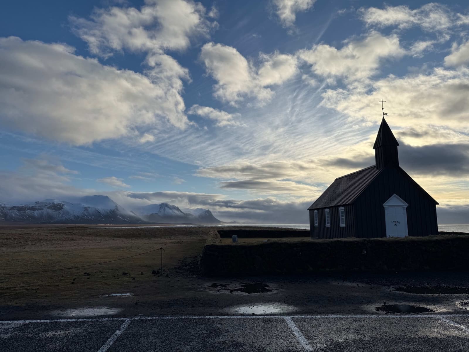
Búðir is a small Snæfellsnes hamlet where the black Búðakirkja church, Búðahraun lava field, coastal light, and glacier backdrop make a short stop feel more distinctive than its size suggests.
Geology snapshot
Yes, when you want a short stop with a strong sense of place: black church, lava field, open coast, and Snæfellsjökull behind the scene.
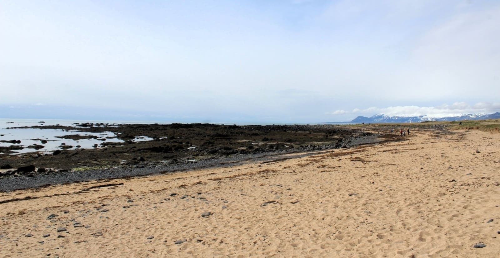
Búðir is tiny, but it is not just a quick church photo if you give the setting a little room. The black Búðakirkja church sits in a low lava-field landscape where the coast, pale grass, mountains, and glacier backdrop do most of the work.
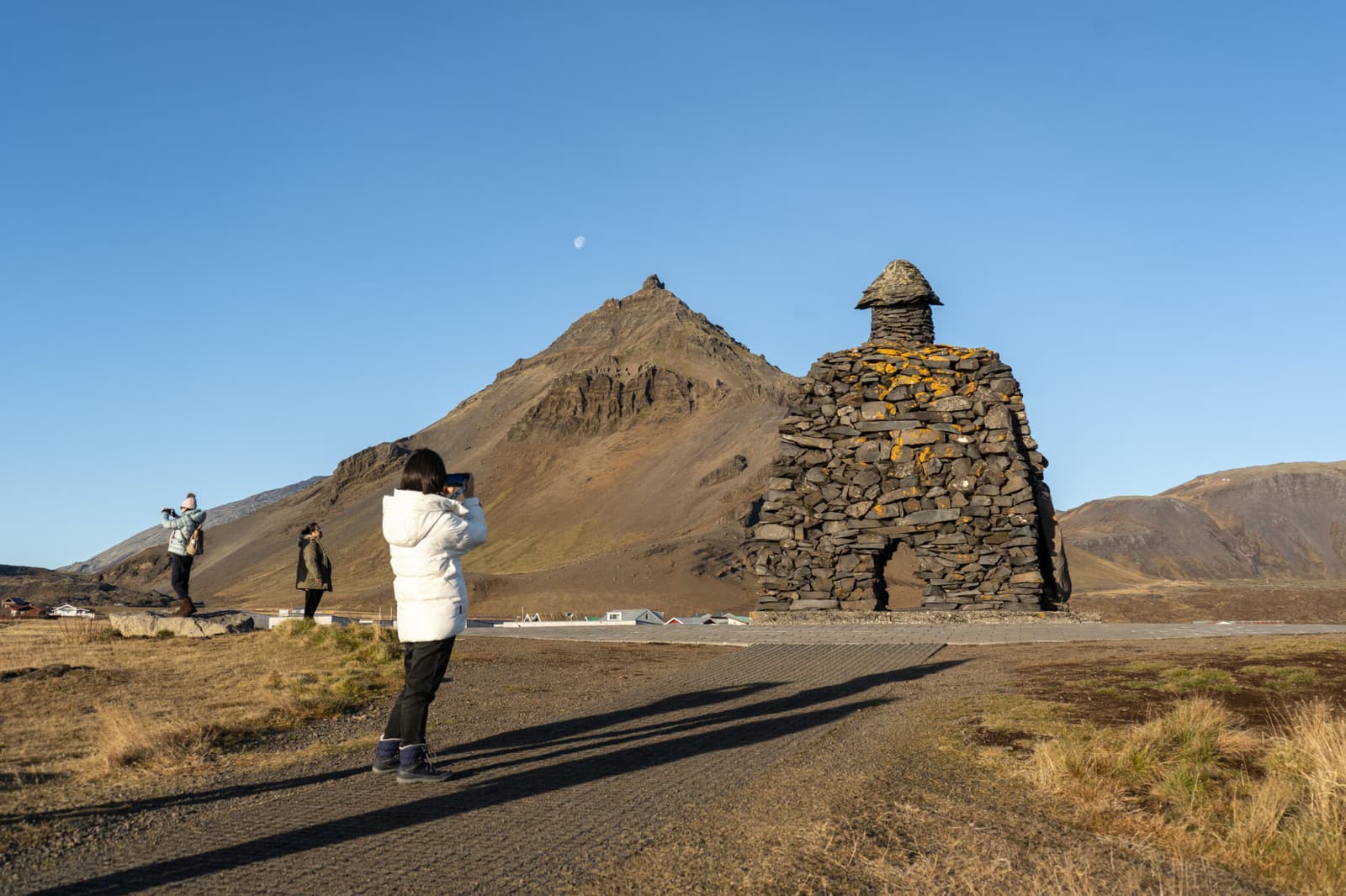
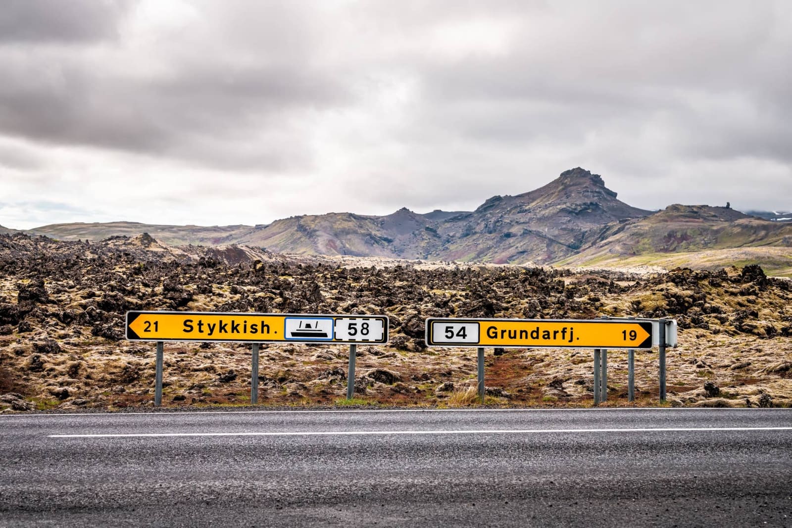
The stop belongs in a south-side Snæfellsnes route when you already plan to pass Ytri Tunga Beach, Bjarnarfoss Waterfall, Arnarstapi, or Hellnar. It is less convincing as a stand-alone detour from Reykjavík if the rest of the peninsula is not part of the day.
The building is simple; the contrast around it is the reason people remember the stop.
Búðakirkja is small and restrained, so the attraction is really the whole composition. Black timber, white trim, cemetery wall, low vegetation, lava underfoot, and the changing Snæfellsnes sky turn a short outside visit into a clear memory.
The church history adds a useful second layer. Búðakirkja traces its story to an early 18th-century church at Búðir, with the present wooden church rebuilt in the 19th century and restored later with local and heritage care.
Most visitors only need a short stop, but the lava field gives Búðir more depth than a single photo angle.
If the day is tight, 20 to 30 minutes can be enough for the church exterior, cemetery edge, and a short look at the surrounding landscape. That version works when Búðir is one stop among several south-side anchors.
If you have more margin, Búðahraun changes the visit. National park information describes Búðaklettur, old Frambúðir remains, and marked walking possibilities in the reserve, so the place can become a light landscape walk rather than only a parked-car photo.
Búðir works best as a south-coast hinge, not as another item squeezed into an already crowded peninsula loop.
Coming from the east, Ytri Tunga Beach gives the wildlife and shoreline option before Búðir. Bjarnarfoss Waterfall adds a short uphill nature stop nearby. Farther west, Arnarstapi and Hellnar shift the day toward sea cliffs and coastal walking.
That sequence is why Búðir should not be judged only by how long the stop takes. It helps the south side of Snæfellsnes feel coherent before the route moves into the denser west-side choices around Lóndrangar, Djúpalónssandur, and Snæfellsjökull.
The practical checks are simple, but they matter because Búðir is exposed and the church is a protected, active heritage building.
If seeing inside the church matters, confirm visitor details through Búðakirkja before relying on access. The public value of Búðir does not depend on an interior visit, but the building and cemetery should be treated as a church setting rather than a photo prop.
For the wider stop, check road conditions, forecast, and travel-safety guidance before remote or colder-season driving. Wind, low cloud, and poor visibility can turn Búðir from a memorable landscape pause into a very brief stop.
Use for church context and visitor access questions.
Best source for the lava-field walks and reserve context.
Búðakirkja is photogenic, but it is still a churchyard and protected heritage setting before it is a travel backdrop.
The useful way to see Búðakirkja is slow and low-impact: stay with obvious visitor access, keep the cemetery gates and walls respected, and let the setting carry the photo instead of climbing, staging, or crowding the building.
These are the decisions most likely to change whether the stop belongs in the day.
No. The church is the most photographed feature, but the lava field, coast, old route context, and nearby south-side stops give Búðir more practical value than one quick image.
Allow about 20 to 60 minutes for most visits. Stay near the church for a short route day, or add more time if you want to walk into the Búðahraun setting.
Choose Búðir for the black church, lava field, and quieter visual pause. Choose Arnarstapi when you want stronger sea-cliff walking and a more substantial coastal stop.
By ThorPublished Updated
Map
Use nearby places and useful bases before opening directions.
Interactive planning map for Búðir
Interactive map
Place context and external map links remain available without loading it.
Planning context
Open the region or practical guide that resolves the next planning decision.
Wider route
Use broader place relationships for route comparison; they are not presented as immediate nearby stops.
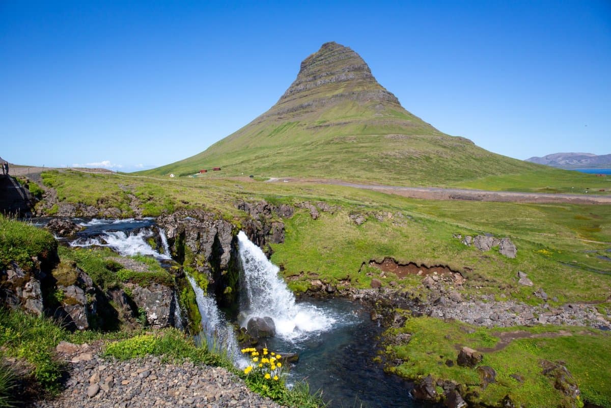
Kirkjufell is the steep, isolated mountain beside Grundarfjörður that forms one of Snæfellsnes's clearest landmarks. Most visitors come for the view, not to climb it, and stay only as long as visibility rewards them.
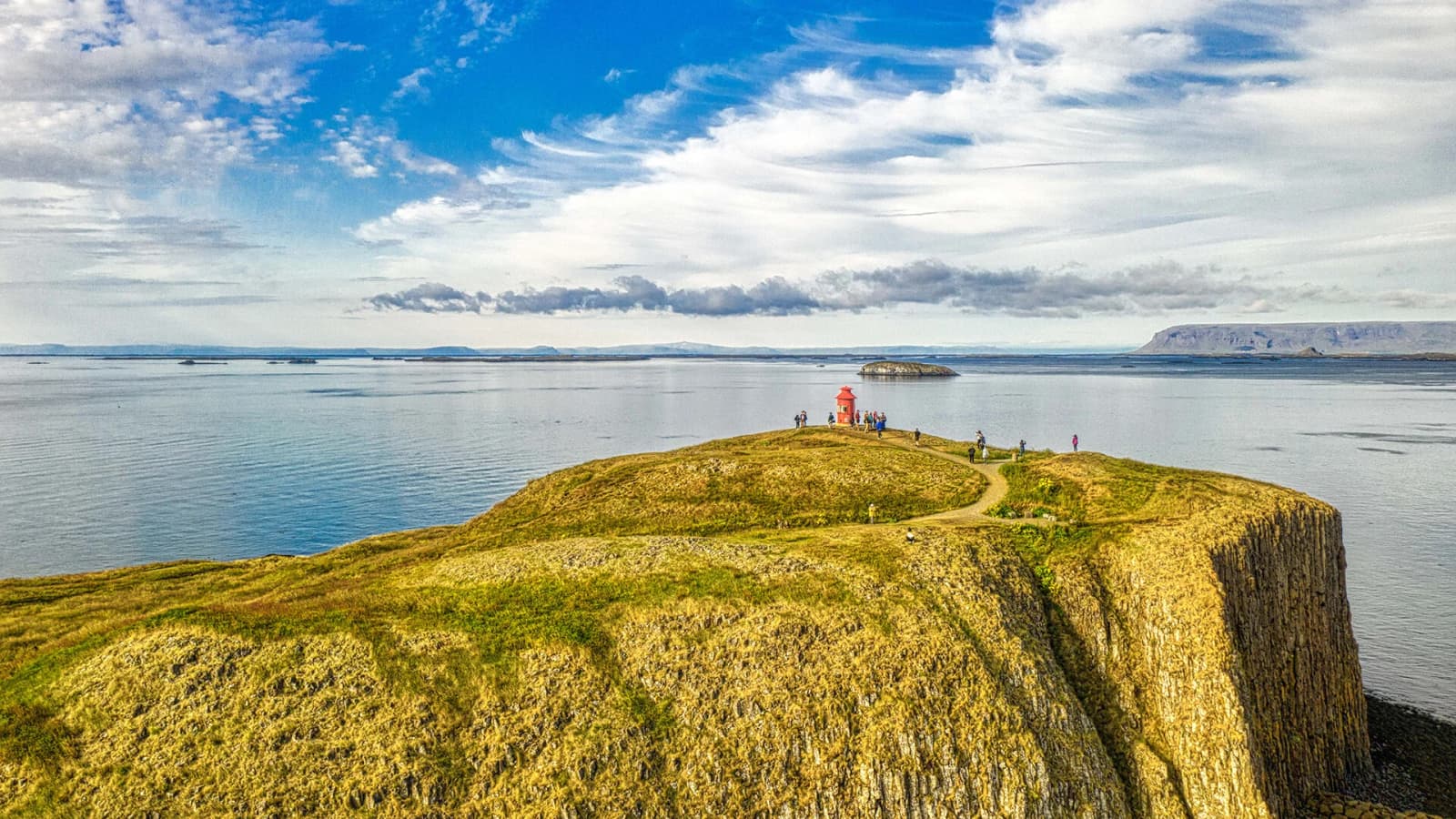
Stykkishólmur is a compact harbor town on north Snæfellsnes, useful for travelers deciding whether to make a quick scenic stop, slow down overnight, or use the ferry link toward Breiðafjörður and the Westfjords.
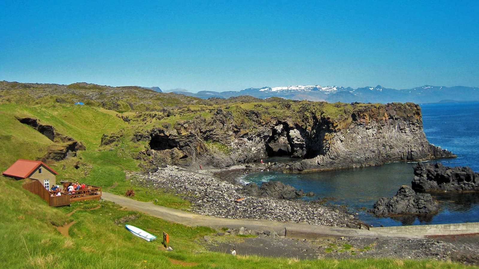
Hellnar is a small historic fishing village on south Snæfellsnes, worth adding when you want a quieter coastal pause, lava cliffs, harbor texture, and a flexible walk toward Arnarstapi.
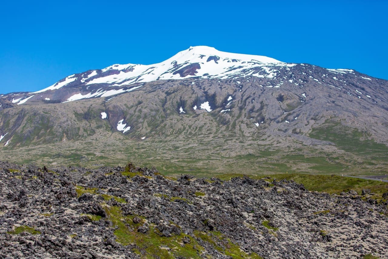
Snæfellsjökull is a 1,446-metre glacier-capped volcano and the defining landmark of western Snæfellsnes. Most people experience it from the national park coast and surrounding roads; going onto the glacier is a separate, guided undertaking.
Next step
Use the next page that helps turn this stop into a practical route decision.