Dramatic Iceland mountain landscape with red-roofed huts under cloudy skies

Places to see

Iceland Attractions

Compare the places that shape Iceland routes, from quick scenic stops to sights that decide the shape of a whole day.

Useful for

landmarksroute anchorsscenic stopsphoto planning

All place guides

Find sights worth building into your route.

Search and filter attraction pages and visual collections without mixing in route or region hubs.

What do you want to see?

Browse
Browse all optionsChoose attraction type

Where?

Route level

Browse
Browse all optionsChoose route cluster

Trip style

Browse
Browse all optionsChoose travel style
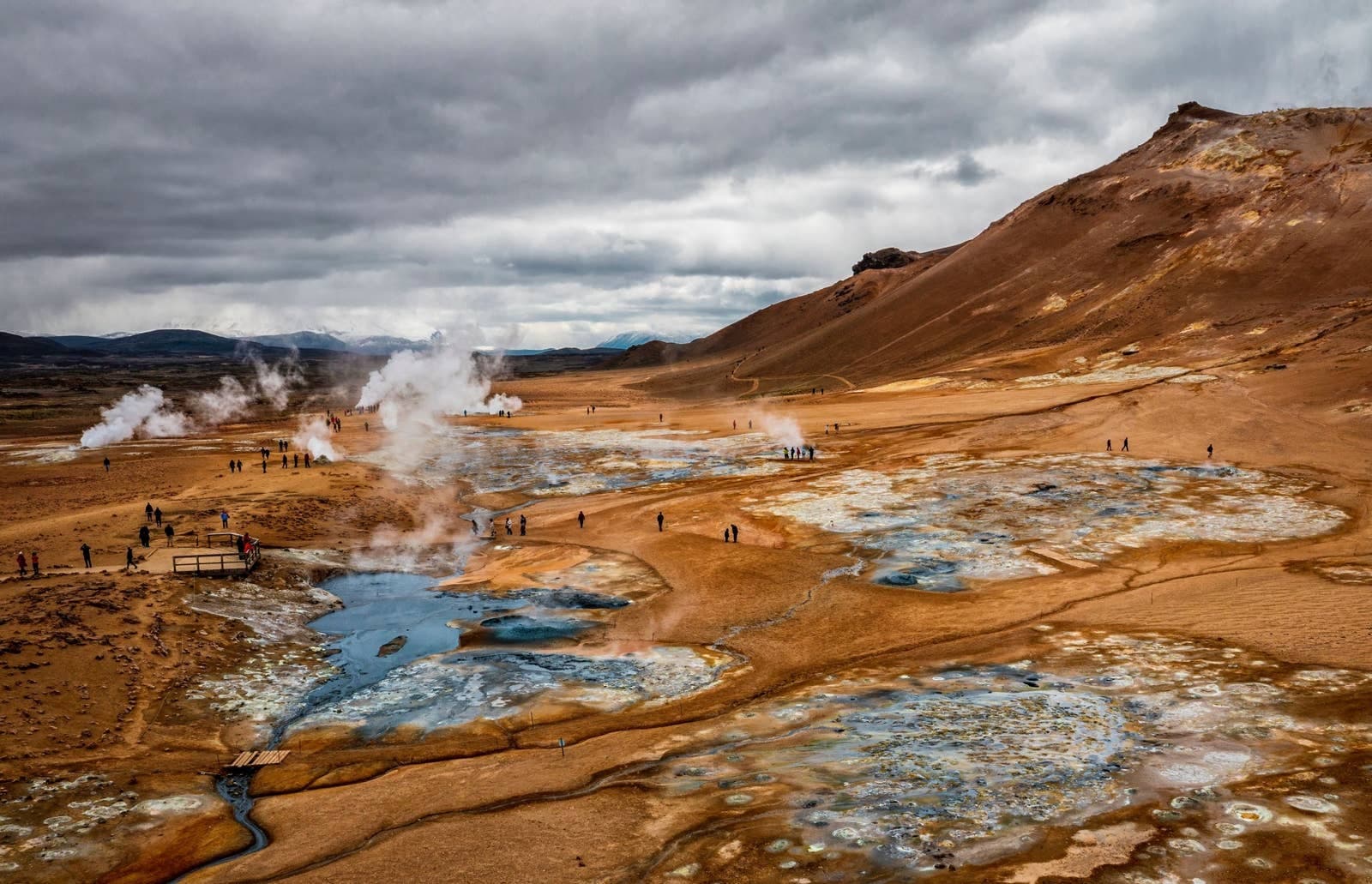
Wide view of Námaskarð geothermal ground, steam vents, visitors, and the brown slope of Námafjall.

Námaskarð Pass

Námaskarð is the geothermal pass by Námafjall near Lake Mývatn, worth a short stop for steam, sulfur colors, and route context when you treat Hverir and safety boundaries as the main decision.

Mývatn geothermal pass · Route 1 stop · North Iceland
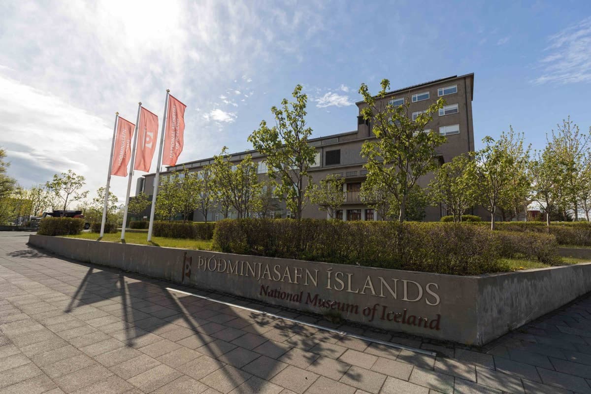
National Museum of Iceland building and entrance sign on Suðurgata in Reykjavík.

National Museum of Iceland

The National Museum of Iceland is Reykjavík’s main heritage museum, useful when you want Icelandic history, artifact displays, and indoor context before deciding how much city time your trip deserves.

Reykjavík · Museum + culture · Indoor city stop
A broad Ísafjarðardjúp fjord landscape that sets the remote Westfjords context for Nauteyrarlaug Hot Spring.

Nauteyrarlaug Hot Spring

Nauteyrarlaug is a remote Westfjords hot spring near Nauteyri, useful for self-drive travelers who want a small bathing stop only when Road 635 already fits the day comfortably.

Remote Westfjords hot spring · Near Nauteyri · Road 635 side stop
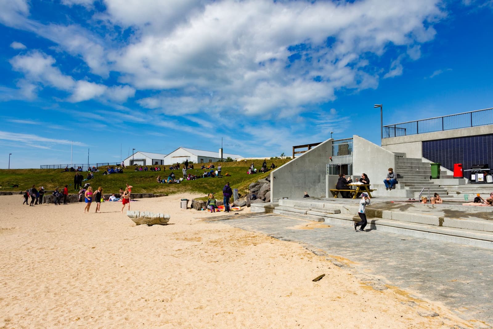
Wide view of the sandy cove and sheltered water at Nauthólsvík geothermal beach in Reykjavík

Nauthólsvík

Nauthólsvík is Reykjavík’s geothermal city beach, where golden sand, a sheltered bay, and hot-water bathing create a short urban break. Visit for a swim or seaside pause, but check official visitor details before planning around it.

Reykjavík · Geothermal beach · 20-40 min or 1-2 hr
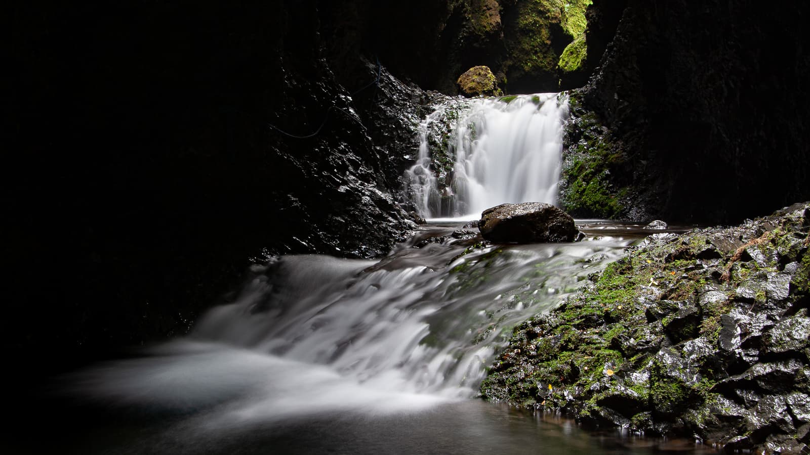
Dark mossy Nauthúsagil ravine with water flowing through the narrow canyon.

Nauthúsagil

Nauthúsagil is a narrow South Iceland ravine with a stream, mossy walls, and hidden waterfalls near the Seljalandsfoss area. Visit if you want an active side stop; skip it when footing, weather, or timing feel tight.

South Coast ravine · Near Seljalandsfoss · Wet canyon walk · Active hidden-gem stop
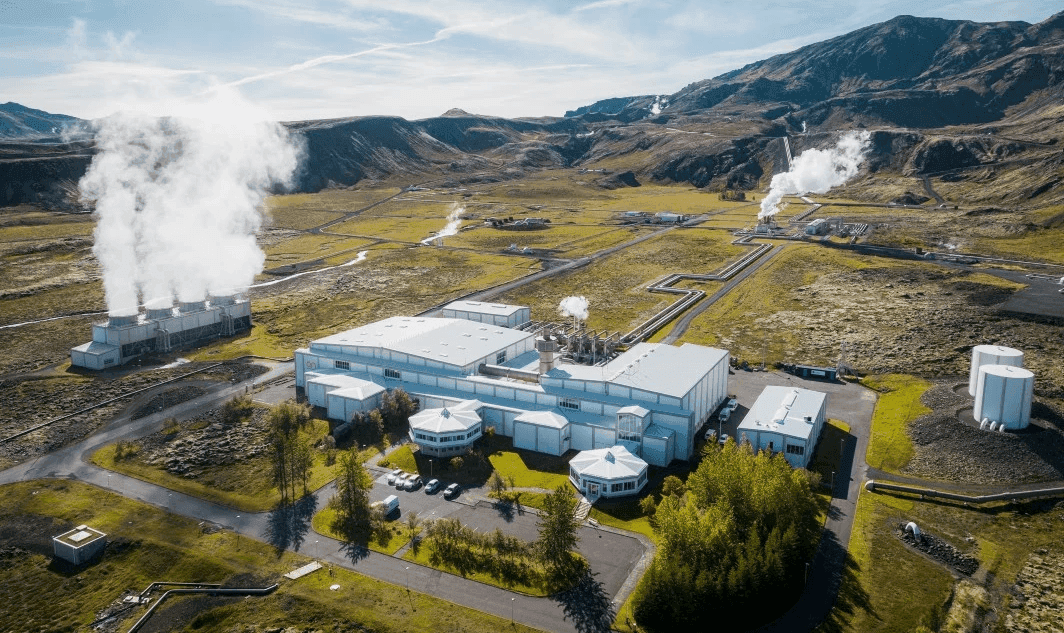
Aerial view of Nesjavallavirkjun with steam rising from geothermal pipes in the Hengill landscape.

Nesjavallavirkjun

Nesjavallavirkjun is a geothermal power station beside Hengill and Þingvallavatn, useful for travelers who want infrastructure context, steam-filled viewpoints, and nearby trails rather than a conventional visitor attraction.

Hengill geothermal area · Golden Circle side stop · Power-station landscape
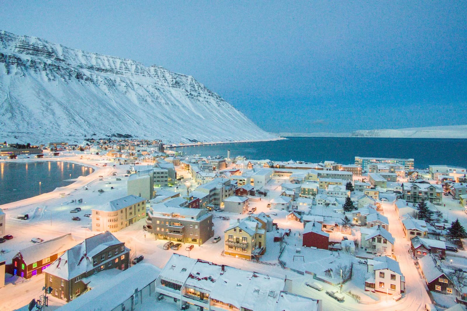
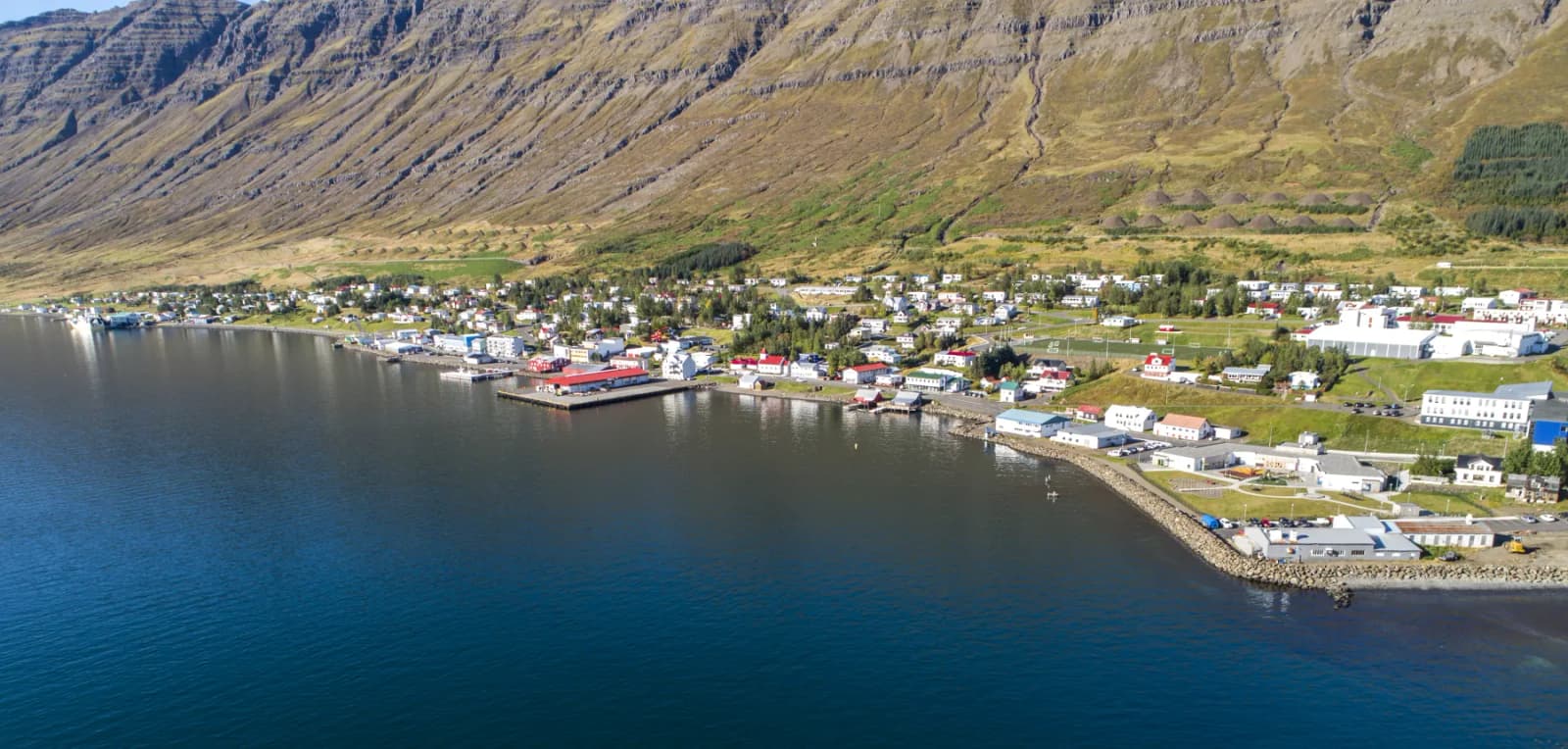
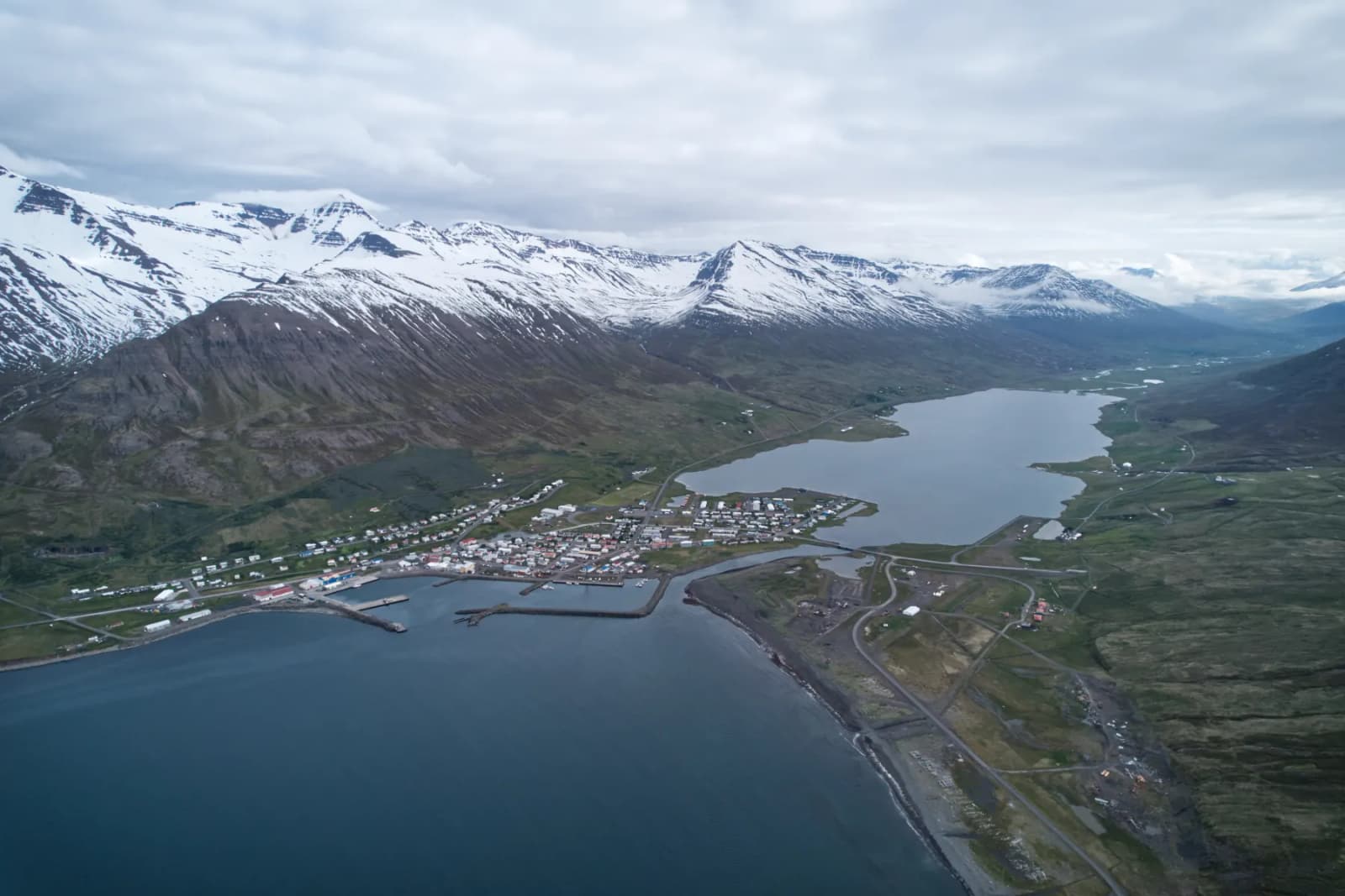
Neskaupstaður beside Norðfjörður below steep Eastfjords mountains.

Neskaupstaður

Neskaupstaður is an Eastfjords town at the end of Norðfjörður, useful for travelers who want a mountain-backed harbor, coastal walks, museum context, and a quieter reason to go beyond the main Ring Road line.

Eastfjords town · Norðfjörður · Nature reserve
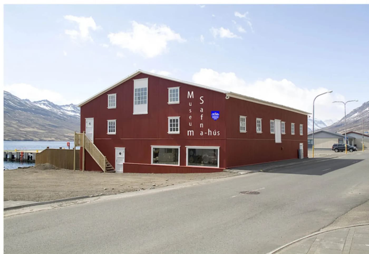
Neskaupstaður Museum House, a red warehouse-style museum building by the waterfront road in Norðfjörður.

Neskaupstaður Museum House

Neskaupstaður Museum House is a three-in-one Eastfjords museum in an old waterfront warehouse, useful for travelers who want local art, maritime history, natural-history collections, and a reason to slow down in town beyond the usual fjord views.

Eastfjords culture · Three museums · Neskaupstaður waterfront
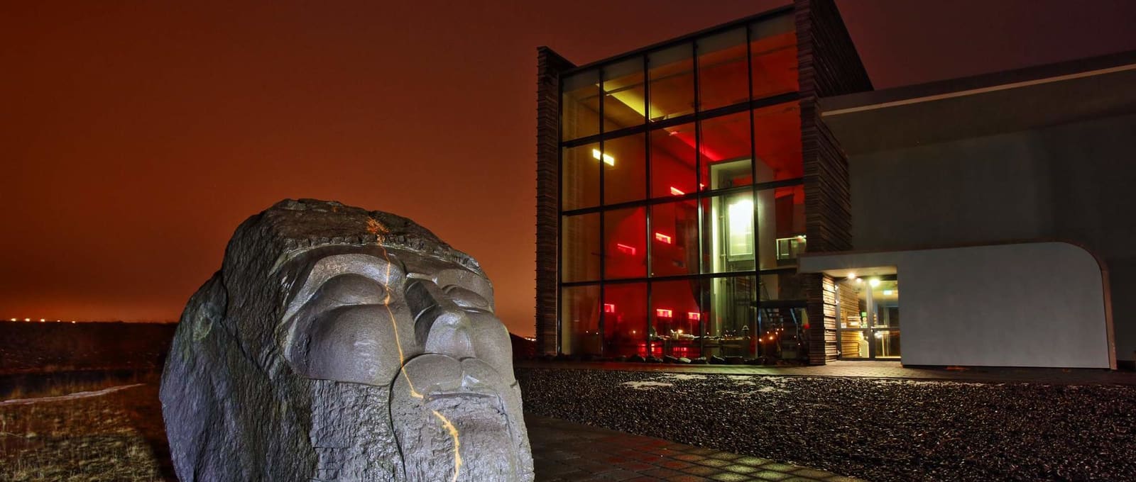
Stone head sculpture outside Viking World at night.

Njarðvík

Njarðvík is the quieter side of Reykjanesbær, most useful when you want Viking World, Stekkjarkot, and shoreline walking to shape a calmer local stop than Keflavík's broader harbor-and-museum mix.

Reykjanesbær district · Viking World and Stekkjarkot · Quiet airport-side stop
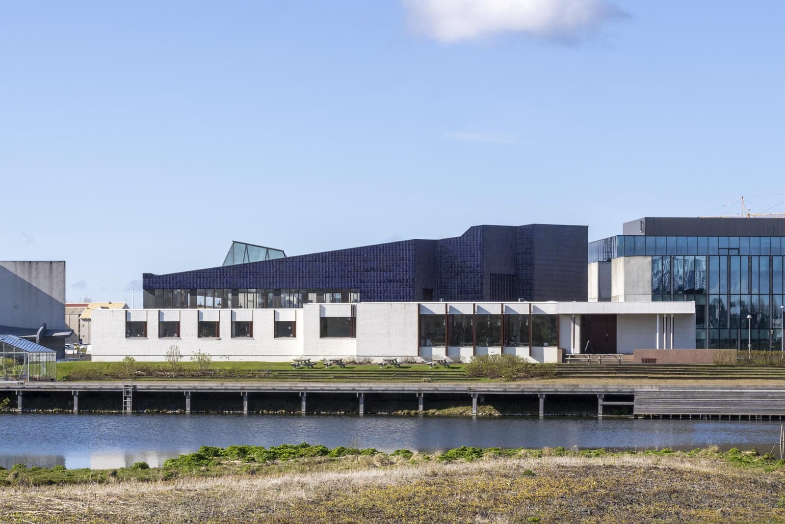
The Nordic House in Reykjavik with its blue Alvar Aalto roof beside the Vatnsmyri wetland.

Norræna húsið

Norræna húsið is Reykjavík’s Nordic cultural house and Alvar Aalto landmark, worth adding when you want architecture, exhibitions, library calm, and a compact city stop near Tjörnin and the university.

Reykjavík · Nordic culture · Aalto architecture
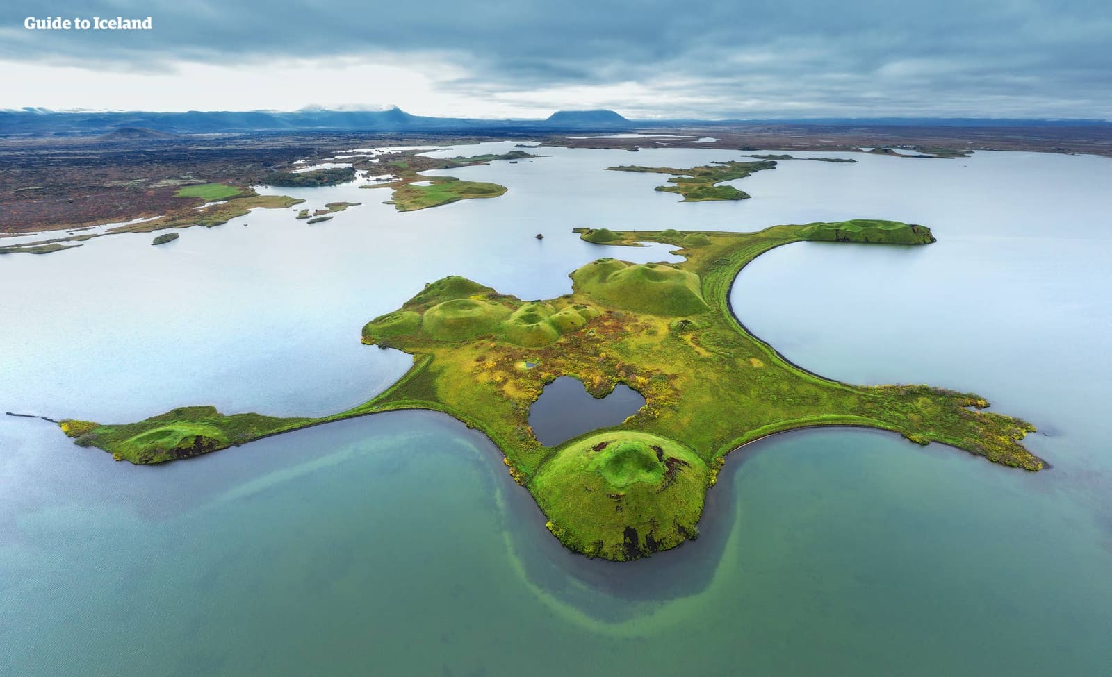
Lake Mývatn wetlands and volcanic landscape in Northeast Iceland.

Northeast Iceland

Northeast Iceland is worth real route time when you want Mývatn, Dettifoss, Ásbyrgi, Goðafoss, whale-town coast, geothermal landscapes, and quieter North Iceland distances, not just another rushed Ring Road label.

North Iceland · Mývatn and waterfalls · Diamond Circle · Self-drive area
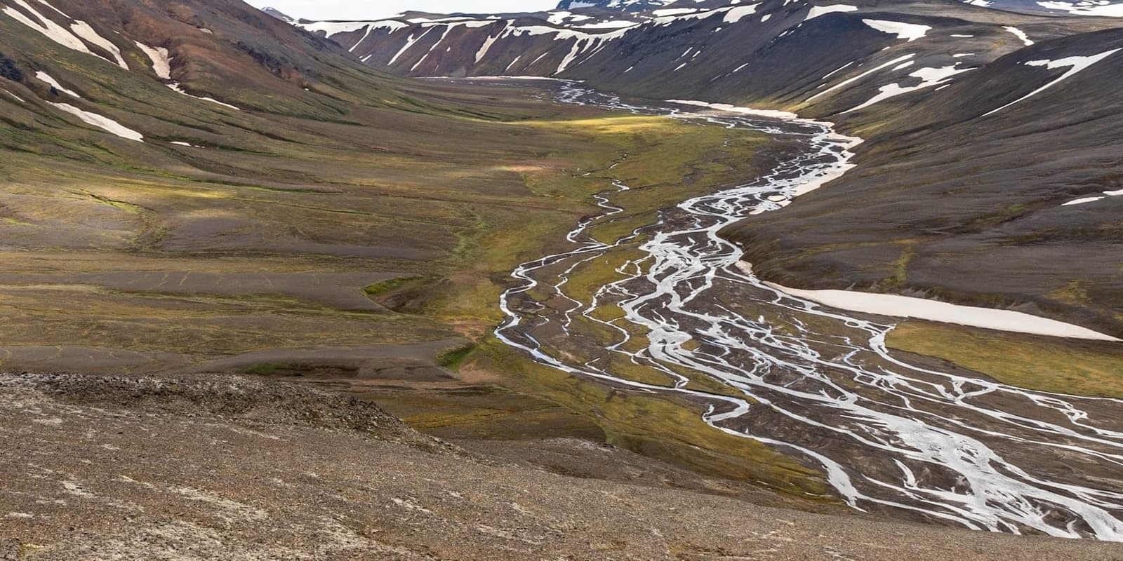
Nýjadalsá river braiding through the remote Nýidalur valley between dark snow-streaked Highlands slopes.

Nýidalur/Jökuldalur

Nýidalur/Jökuldalur is a remote Central Highlands valley and hut area between major ice caps, useful when you are planning an interior route and need to judge access, time, and conditions before committing.

Central Highlands · F-road stop · Remote valley
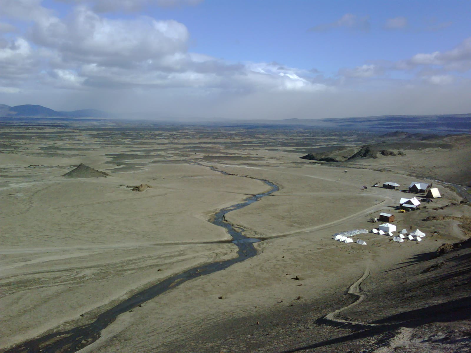
Ódáðahraun lava desert seen from Askja with huts, a stream, and wide highland plains below.

Ódáðahraun

Ódáðahraun is a vast lava desert north of Vatnajökull, useful for travelers deciding whether a Highlands route should focus on Askja, Holuhraun, rough roads, or easier alternatives nearby.

Lava desert · Highlands · Askja context
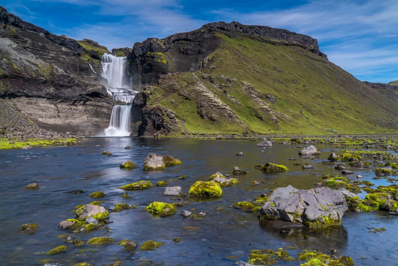
Ófærufoss waterfall dropping in two steps into the rocky Eldgjá canyon.

Ófærufoss

Ófærufoss is a remote double-drop waterfall in the Eldgjá area of Iceland’s south Highlands, worth the effort when a suitable 4x4, open F-roads, and enough day margin make the walk feel like the point of the trip rather than a rushed add-on.

Remote waterfall · Eldgjá walk · 4x4 access
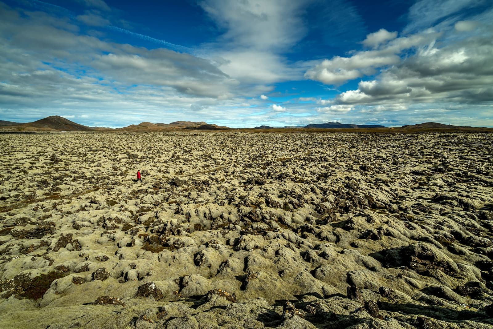
Wide view over moss-covered Ögmundarhraun lava field with low Reykjanes mountains beyond.

Ögmundarhraun

Ögmundarhraun is a moss-covered lava field on southern Reykjanes, useful for self-drive travelers linking Krýsuvík with Selatangar, Kleifarvatn, or Grindavík and deciding how much rough volcanic texture their day needs.

Lava field · Reykjanes · South-side stop
Ólafsfjörður town beside its fjord and lake under steep North Iceland mountains

Ólafsfjörður

Ólafsfjörður is a North Iceland fjord town for travelers who want a quieter Tröllaskagi pause, with mountain views, a working harbor, Ólafsfjarðarvatn lake, and useful route context between Dalvík and Siglufjörður.

North Iceland fjord town · Tröllaskagi route pause · Lake and harbor context
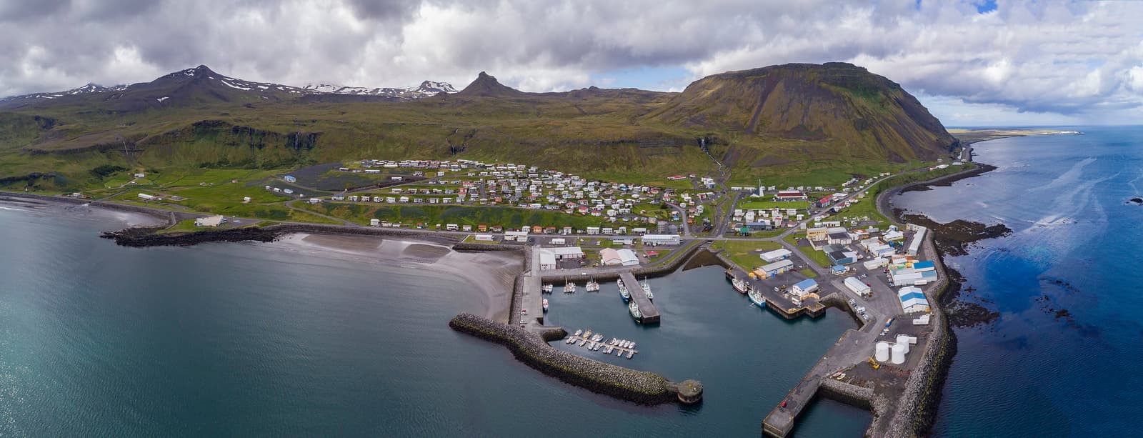
Aerial panorama of Ólafsvík, its harbor, church, coastline, and surrounding mountains

Ólafsvík

Ólafsvík is a north Snæfellsnes fishing town for travelers who want a practical harbor pause, modern church views, Pakkhús heritage, and a calmer base between Kirkjufell and Snæfellsjökull National Park.

North Snæfellsnes town · Harbor and church views · Useful self-drive pause
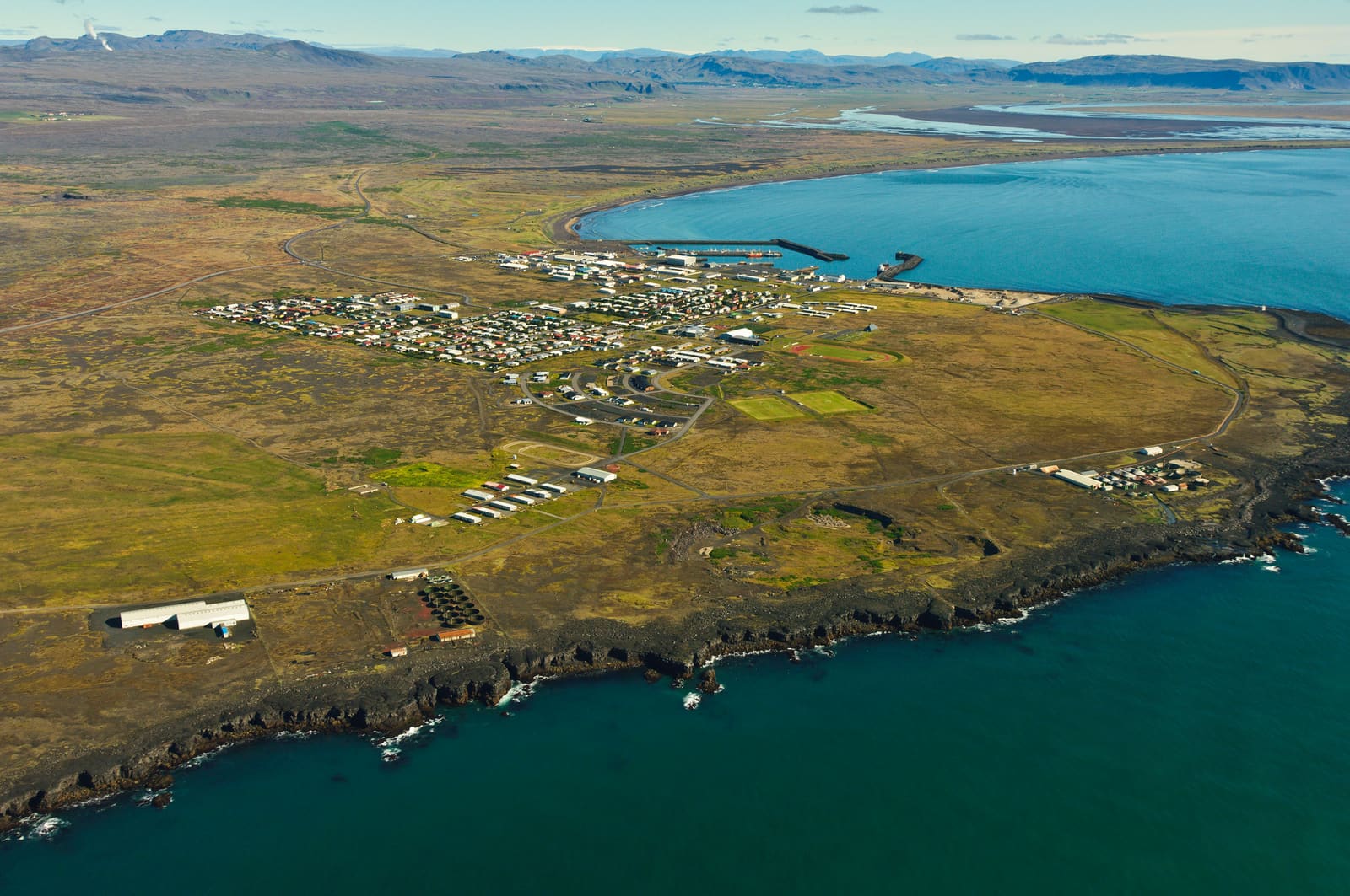
Aerial view of Þorlákshöfn and the surrounding Ölfus coastline

Ölfus

Ölfus is a spread-out southwest South Iceland district that makes sense when you want black-sand coast, lighthouse views, lava-country detours, and quieter village texture instead of forcing another single headline stop into the route.

South Iceland district · Lighthouse coast · Lava and villages · Near Reykjavík
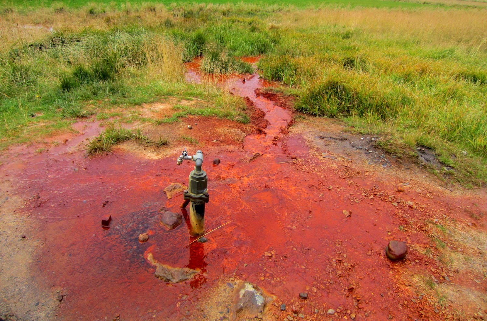
Red iron-stained mineral water flowing around the tap at Ölkelda on Snæfellsnes.

Ölkelda Mineral Spring

Ölkelda is a small naturally carbonated mineral spring on south Snæfellsnes, worth a short stop when its iron-red water and farm setting fit your route without crowding better nearby sights.

Mineral spring · Snæfellsnes · Quick stop
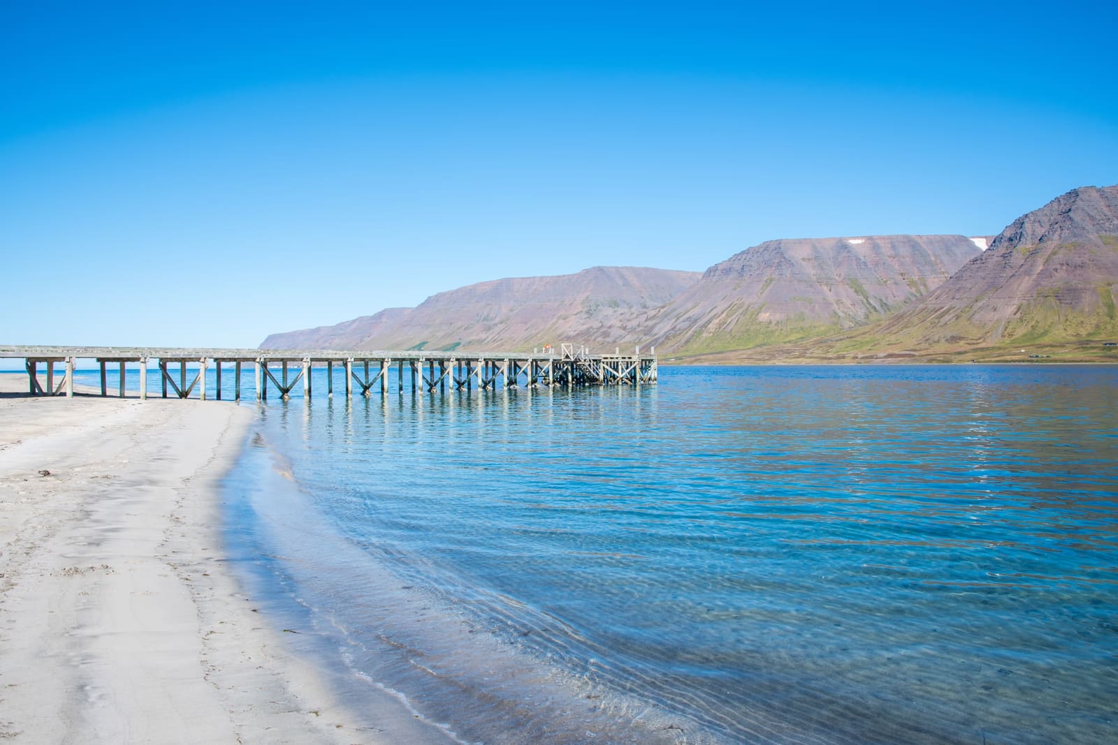
Side view of Önundarfjörður Pier extending from Holtsfjara beach toward calm Westfjords water and mountains.

Önundarfjörður Pier

Önundarfjörður Pier is a wooden pier on Holtsfjara, useful for Westfjords travelers who want a quick beach, fjord, and mountain stop near Flateyri without turning it into a major detour.

Holtsfjara pier · Önundarfjörður beach · Near Flateyri · Westfjords Way
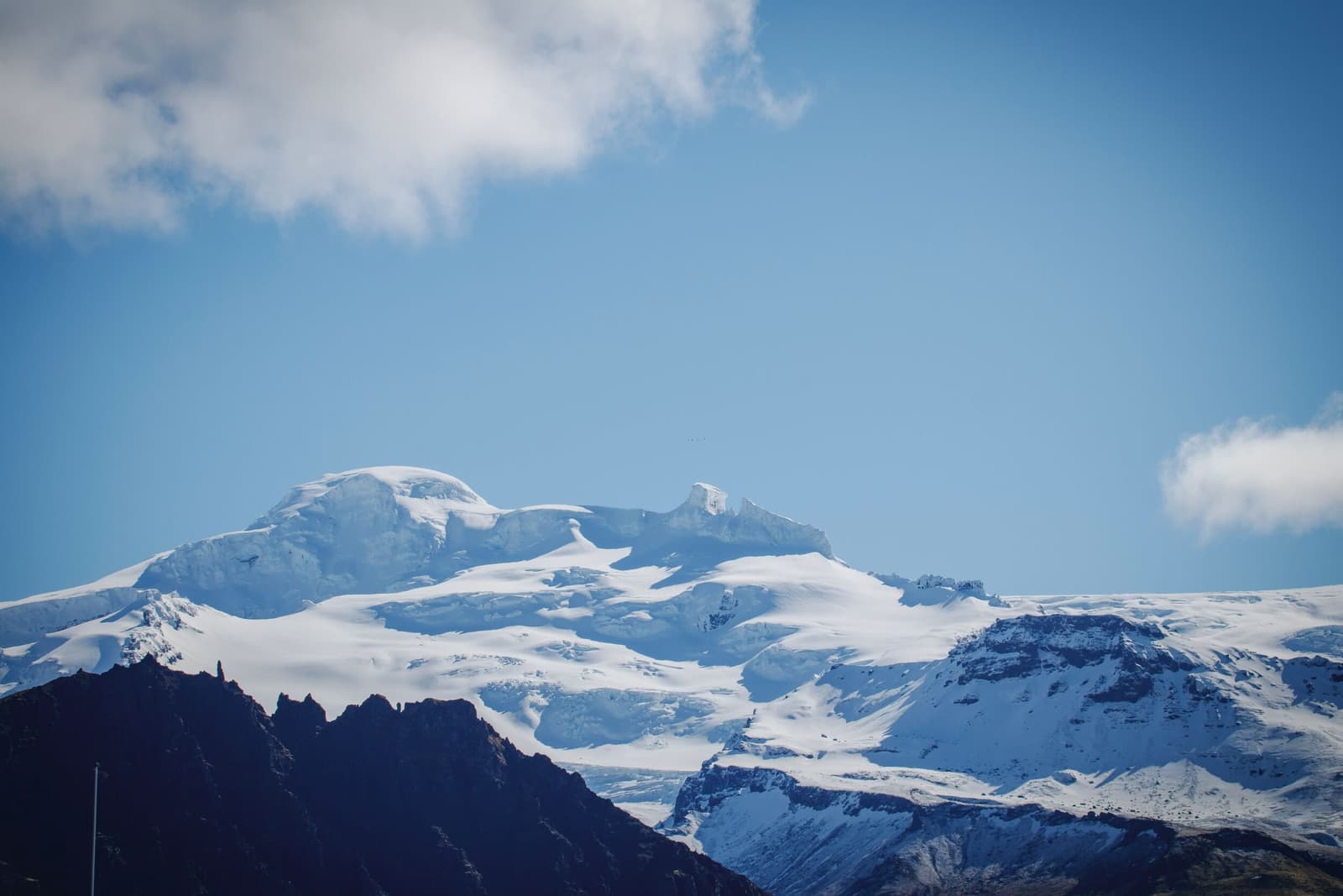
Öræfajökull ice cap and Hvannadalshnúkur above dark ridges in southeast Iceland.

Öræfajökull Glacier

Öræfajökull is the glacier-covered volcano above Skaftafell in southeast Iceland, where travelers need to choose between scenic views, nearby outlet-glacier stops, or a serious guided mountain objective with official checks.

South Iceland · Glacier volcano · Skaftafell area
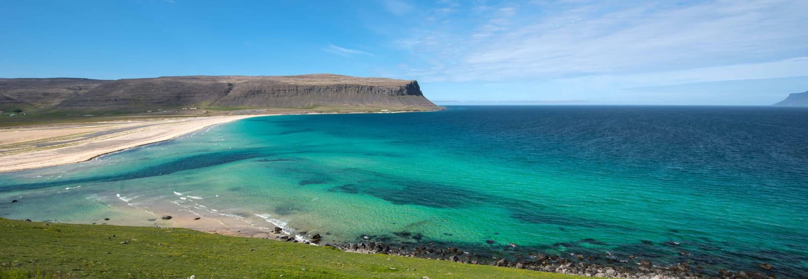
Orlygshofn Beach with pale sand, turquoise water, and broad Westfjords cliffs above the shoreline.

Orlygshofn Beach

Orlygshofn Beach is a quiet yellow-sand shoreline near Patreksfjörður, most useful for travelers already heading toward Látrabjarg or Hnjótur who want a calmer Westfjords pause instead of another stand-alone detour.

Southern Westfjords · Quiet beach stop · Hnjótur pairing
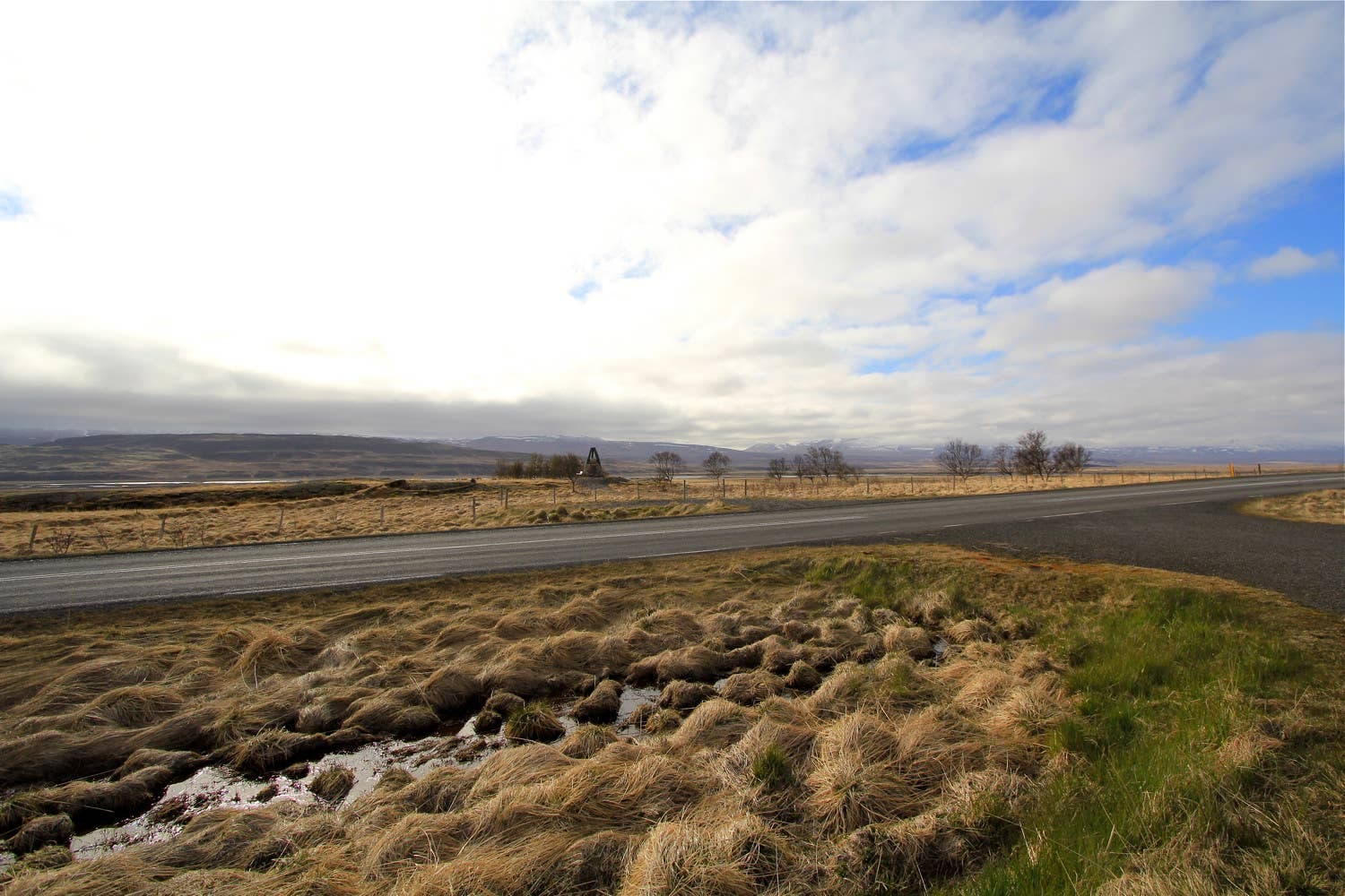
Open fields and low hills around the Örlygsstaðir historical site in Skagafjörður.

Örlygsstaðir Historical Site

Örlygsstaðir is a compact battlefield memorial in Skagafjörður for travelers who want saga history, rural valley context, and an optional waterfall walk without turning the day into a museum-heavy detour.

Historic site · Skagafjörður
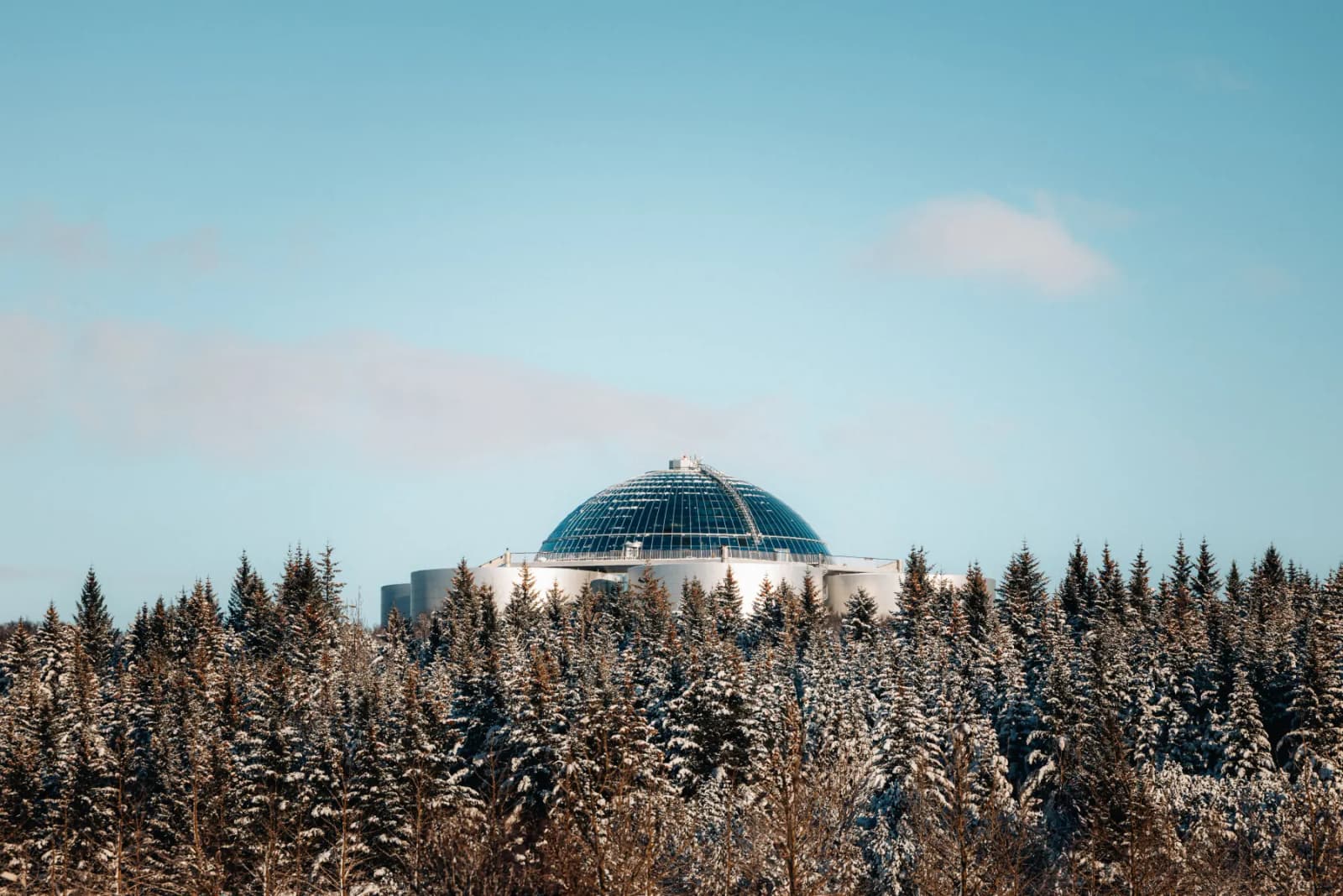
Öskjuhlíð forest slopes with Perlan rising above the trees in Reykjavík.

Öskjuhlíð Hill

Öskjuhlíð Hill is Reykjavík's wooded city hill, useful when you want a free green break, short trails, and a better sense of whether the hill itself adds enough beyond Perlan or Nauthólsvík to deserve real time.

Reykjavík · City hill · 30-90 min

529552 of 780 attractions

Page 23 of 33

Build a trip around the places you want to see.

Once the sights are clear, use planning pages to turn them into a route with realistic timing.