City stop snapshot
- Type
- Wooded city hill with trails and views
- Setting
- South Reykjavík, between Perlan and Nauthólsvík
- Best for
- A green break inside a city day
- Time
- 30 to 90 minutes, sometimes longer
- Terrain
- Mixed paved and gravel paths, some slopes
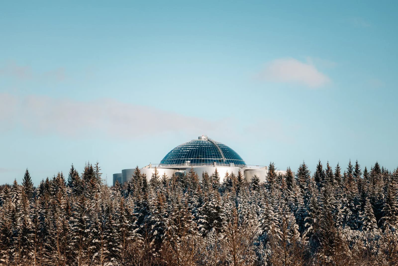
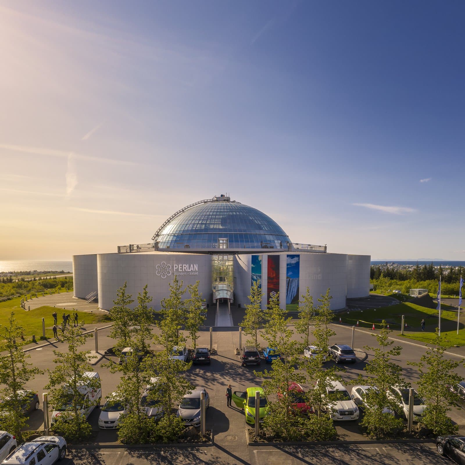
Öskjuhlíð Hill is Reykjavík's wooded city hill, useful when you want a free green break, short trails, and a better sense of whether the hill itself adds enough beyond Perlan or Nauthólsvík to deserve real time.
City stop snapshot
Öskjuhlíð is worth separate time when you want a free green break inside Reykjavík, an easy hill walk, or a better sense of the ground around Perlan. It is less convincing if the real goal is only the museum or observation deck.
That distinction matters because many travelers reach the hill through Perlan and never decide whether the wooded slopes deserve any time of their own. Sometimes they do. A short walk here can make a city day feel less boxed into landmarks, cafes, and museum interiors.
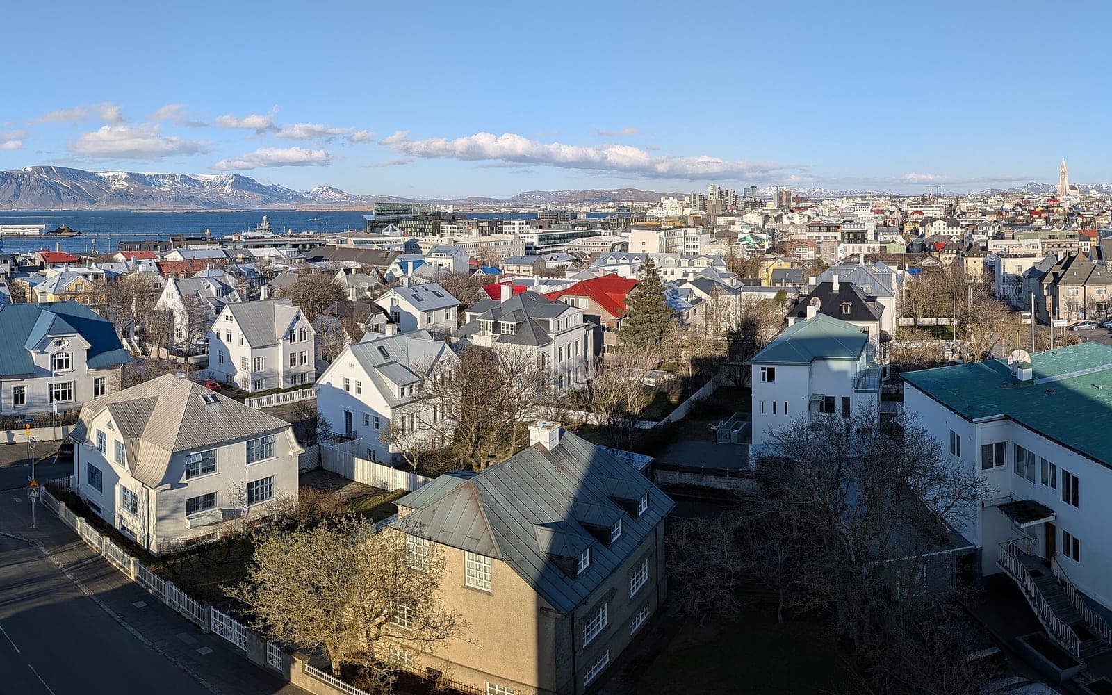
The hill works best when you want a local outdoor pause rather than a headline sight. Think of it as a place to breathe, walk, and notice how Reykjavík shifts from built city to forest paths and open views in only a few minutes.
Away from Perlan, Öskjuhlíð feels more like a local city forest than a formal attraction. The paths are easy to enter and easy to leave, which is part of the appeal.
You are not committing to a big hike. Instead, you get short wooded stretches, changing glimpses of Reykjavík, and a hill that softens the city without pretending to be remote nature. That makes it particularly useful on arrival days, weather breaks, or slower afternoons.
The nearby pull of Nauthólsvík also changes the mood. If the weather is good, the hill can act as the walk between a city attraction and the beach edge rather than a separate destination that needs its own half day.
Öskjuhlíð has more texture than a generic park because the hill carries visible geology and leftovers from Reykjavík's wartime history.
City material on Öskjuhlíð points to Reykjavík gray basalt shaped during the Ice Age, plus glacial erosion marks and sea-worn rock evidence from when the hill stood above a higher shoreline. That means the place quietly explains Reykjavík's physical ground as well as giving you a walk.
The same hill also kept military traces from the Second World War. You do not need to come only for bunkers or remnants, but knowing they exist stops the walk from feeling generic. The hill has local depth, not just trees around a dome.
Most visitors only need 30 to 90 minutes unless they deliberately turn the hill into a longer recreational walk.
| Visit style | Best when | Time to protect |
|---|---|---|
| Short hill loop | You want fresh air before or after Perlan | About 30-45 minutes |
| Hill plus beach connection | You want to combine the forest with Nauthólsvík | About 45-90 minutes |
| Longer recreational walk | You want a city-forest route rather than a landmark stop | About 1-2 hours |
The effort is modest by Iceland standards, but it is still shaped by slopes, exposed weather, and the kind of footwear you brought for the rest of Reykjavík. In wind or winter conditions, the hill can feel less casual than the map suggests.
Öskjuhlíð fits best as a connector or breathing-space stop inside a city day, not as the main attraction that organizes the whole plan.
Perlan is the clearest pairing because it sits directly on the hill, but Nauthólsvík is the pairing that changes the stop most. Together they give you forest, views, and the beach edge in one compact part of Reykjavík. Kjarvalsstaðir Art Museum is the quieter cultural handoff if you want the day to stay slower and less tourist-heavy.
Hallgrímskirkja is useful as a comparison rather than a direct pairing. If you only have time for one stronger Reykjavík landmark, choose Hallgrímskirkja or Perlan first. Add Öskjuhlíð when you want the city to feel less like a checklist and more like a place to move through.
Check the weather first, then treat any Perlan or Nauthólsvík plans as separate official checks rather than assuming the whole area behaves like one attraction.
This is especially important when wind, rain, or winter footing could remove the value of the walk. It also matters if your visit depends on museum access, beach facilities, or transport timing rather than simply walking the hill.
Background on the hill, its geology, and historical features.
Area overview, nearby context, and practical orientation.
Use this if the museum, deck, or venue services are part of the plan.
Check wind and weather before treating the hill as a comfortable outdoor stop.
By ThorPublished
Map
Use nearby places and useful bases before opening directions.
Interactive planning map for Öskjuhlíð Hill
Interactive map
Place context and external map links remain available without loading it.
Planning context
Open the region or practical guide that resolves the next planning decision.
Next step
Use the next page that helps turn this stop into a practical route decision.