Culture snapshot
- Type
- Battlefield memorial and rural trail
- Region
- Skagafjörður in North Iceland
- Best for
- Saga context on a slower drive
- Time
- 15 minutes to 90 minutes
- Access
- Rural pull-off and optional walk
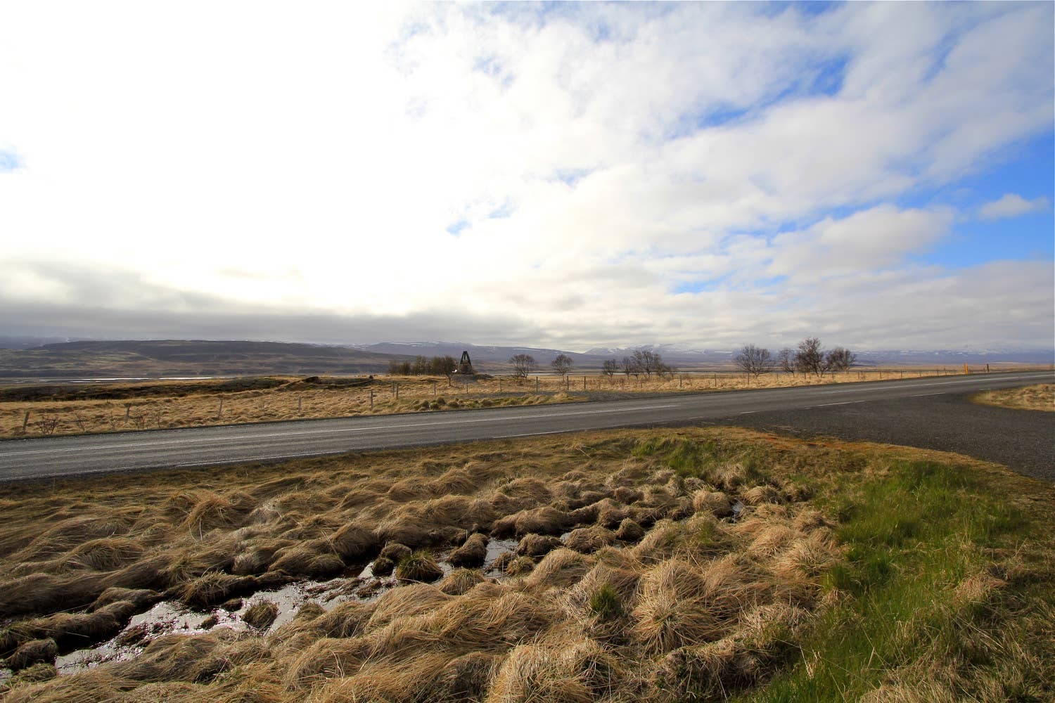
Örlygsstaðir is a compact battlefield memorial in Skagafjörður for travelers who want saga history, rural valley context, and an optional waterfall walk without turning the day into a museum-heavy detour.
Culture snapshot
Örlygsstaðir is worth adding when the story of medieval Iceland is part of your North Iceland route. It is not a large attraction, but the memorial gives a quiet field stop a clear reason to exist.
The useful way to judge Örlygsstaðir is by interest, not distance. If you are moving between Varmahlíð, Glaumbær, Sauðárkrókur, or the wider Skagafjörður area, the stop can add a sharp historical layer without taking over the day.
If your route is already overloaded with major waterfalls, hot springs, and long drives, keep this as a possible pause rather than a fixed target. The site rewards travelers who slow down, read the memorial context, and connect the field to the surrounding valley.
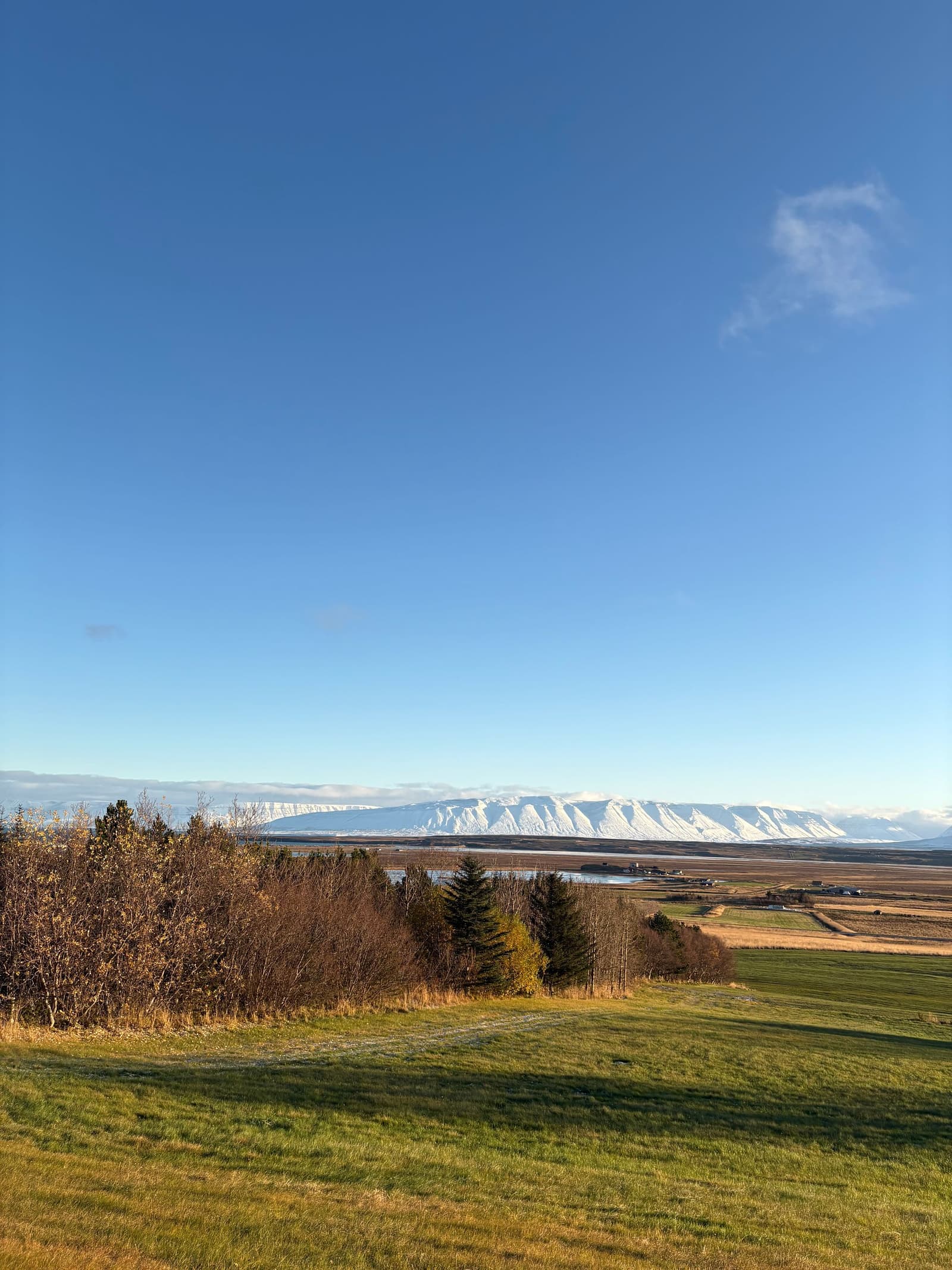
The place itself is restrained: a rural memorial, open ground, and interpretation rather than a reconstructed battle scene. That restraint is the point.
The Battle of Örlygsstaðir belongs to the Age of Sturlungs, a period when powerful Icelandic families fought for influence. The memorial lets you place that story in the actual Skagafjörður landscape instead of meeting it only as a museum label.
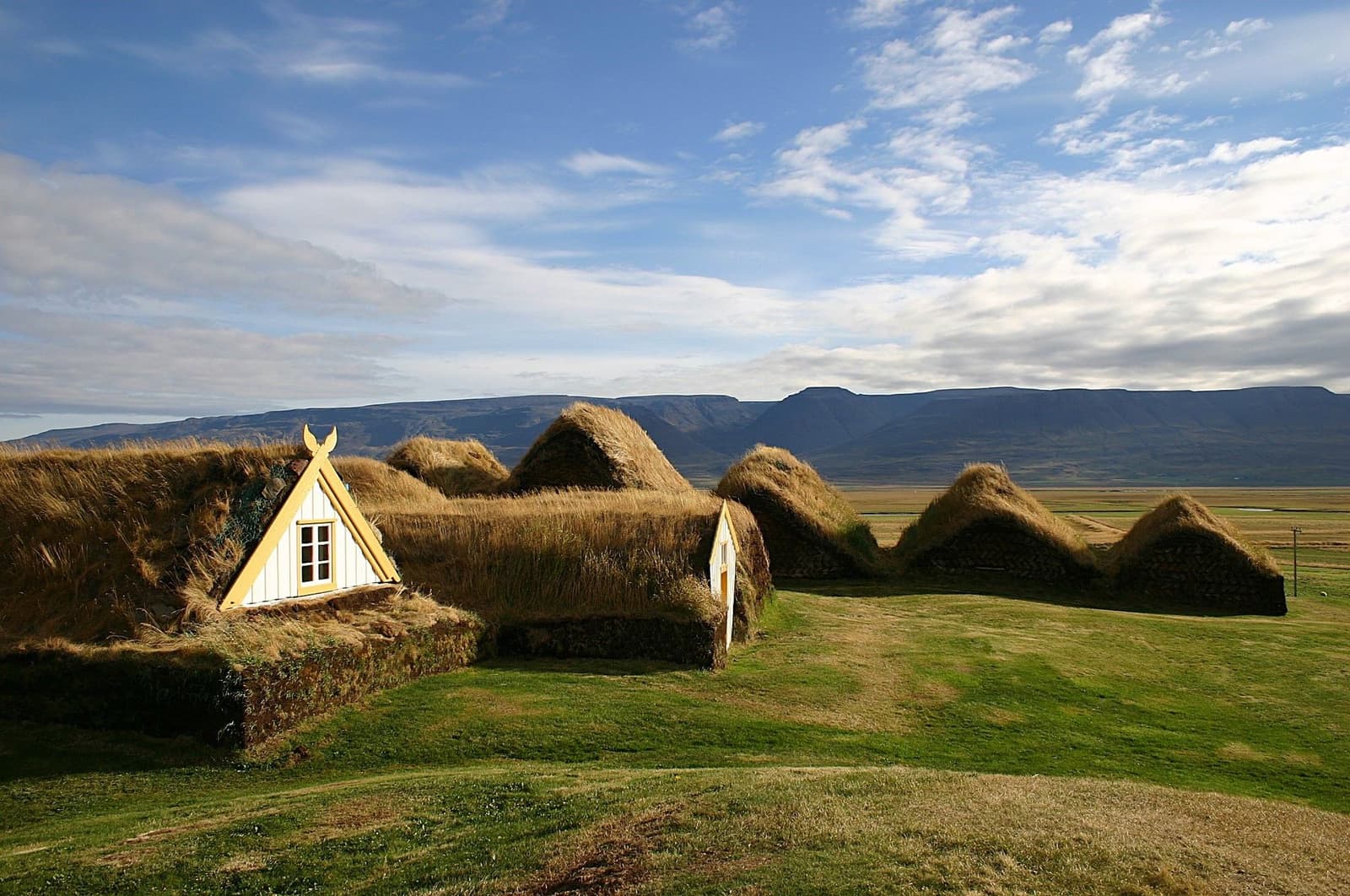
Visitors who enjoy saga history will get more from the stop by pairing it with 1238 in Sauðárkrókur or with heritage stops such as Glaumbær. Without that context, it can feel like a quick roadside marker in a broad farming valley.
The regional visitor route turns the stop into more than a marker if you have time for the out-and-back walk toward the waterfall viewpoint.
The trail described by Visit Skagafjörður starts from the parking area, reaches the memorial sign, then continues along fences and sheep gates toward the river and waterfall viewpoint. That makes the visit flexible: short history pause first, longer rural walk only if conditions suit.
Treat the walk as open countryside rather than a polished attraction path. Wind, wet grass, free-roaming sheep or horses, and river-adjacent ground can change how comfortable the detour feels.
This is rarely the only reason to enter Skagafjörður. It works best as one piece in a small cultural cluster.
For a heritage-focused day, combine Örlygsstaðir with Glaumbær and Sauðárkrókur. Glaumbær gives you a more structured turf-farm visit, while Sauðárkrókur adds services and the 1238 exhibition for travelers who want the battle story explained indoors.
Varmahlíð is the practical route anchor, especially if you are passing through the inland Ring Road corridor. If you want the fjord to feel less like transit, use the wider Skagafjörður guide before deciding how many side stops belong in the day.
The practical checks are simple, but they matter because the stop is rural and the optional walk is exposed.
By ThorPublished Updated
Use these sources for the details most likely to affect timing, access, and the indoor museum pairing.
Use for the memorial-to-waterfall walking route and local visitor context.
Use for the Sauðárkrókur museum pairing before planning around it.
Use before rural winter or shoulder-season driving in North Iceland.
Map
Use nearby places and useful bases before opening directions.
Interactive planning map for Örlygsstaðir Historical Site
Interactive map
Place context and external map links remain available without loading it.
Planning context
Open the region or practical guide that resolves the next planning decision.
Next step
Use the next page that helps turn this stop into a practical route decision.