Coast snapshot
- Type
- Fishing town and harbor stop
- Region
- North Snæfellsnes, West Iceland
- Best for
- Route pause with coastal texture
- Time
- About 30 to 90 minutes
- Nearby
- Kirkjufell, Rif, and Snæfellsjökull
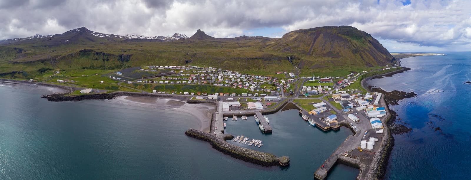
Ólafsvík is a north Snæfellsnes fishing town for travelers who want a practical harbor pause, modern church views, Pakkhús heritage, and a calmer base between Kirkjufell and Snæfellsjökull National Park.
Coast snapshot
Yes, when you want a practical harbor-town pause between the peninsula's bigger landscape stops.
Ólafsvík is not the place to choose if your whole Snæfellsnes day is built around one dramatic viewpoint. Its value is slower: a fishing harbor, a sharp modern church, steep mountain walls, and enough services to make the north side of the peninsula feel less like a drive-through.
It fits best when your route already links Kirkjufell, Rif, Hellissandur, Vatnshellir Cave, and Snæfellsjökull. In that version, Ólafsvík gives the day a real town stop without pulling you far away from the coastal road.
Photo guide
1 / 4
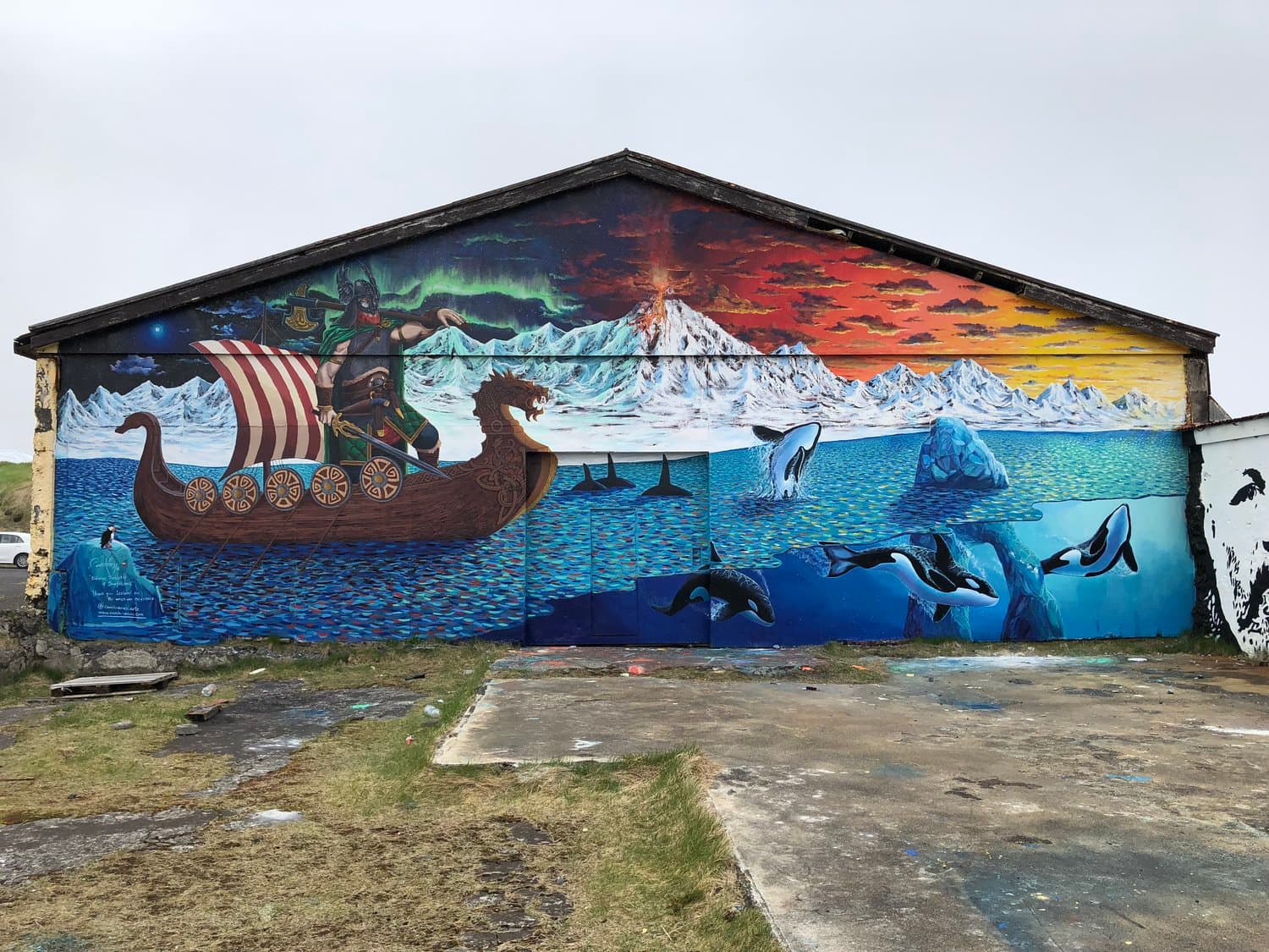
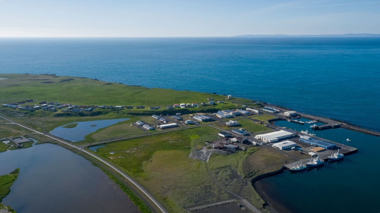
The compact town sits tight between sea and mountain, which is the main reason it feels different from inland service stops.
The first impression is the tight meeting of sea, houses, church spires, and the mountain slope behind them.
The modern church is the easiest landmark to recognize, especially when you arrive from the west or look back from the harbor side. Around it, the town feels compact and practical rather than polished for sightseeing.
The useful secondary layer is Pakkhús, the old black trading house in the town center. Snæfellsbær describes it as an 1844 building with local museum displays, which gives Ólafsvík more heritage depth than a quick church photo suggests.
If you like places that still read as working towns, walk near the harbor, look back toward the church and mountain, then decide whether the day deserves a longer pause or just a short break.
Think of Ólafsvík as the north-side hinge between famous mountain views and the wilder west end of Snæfellsnes.
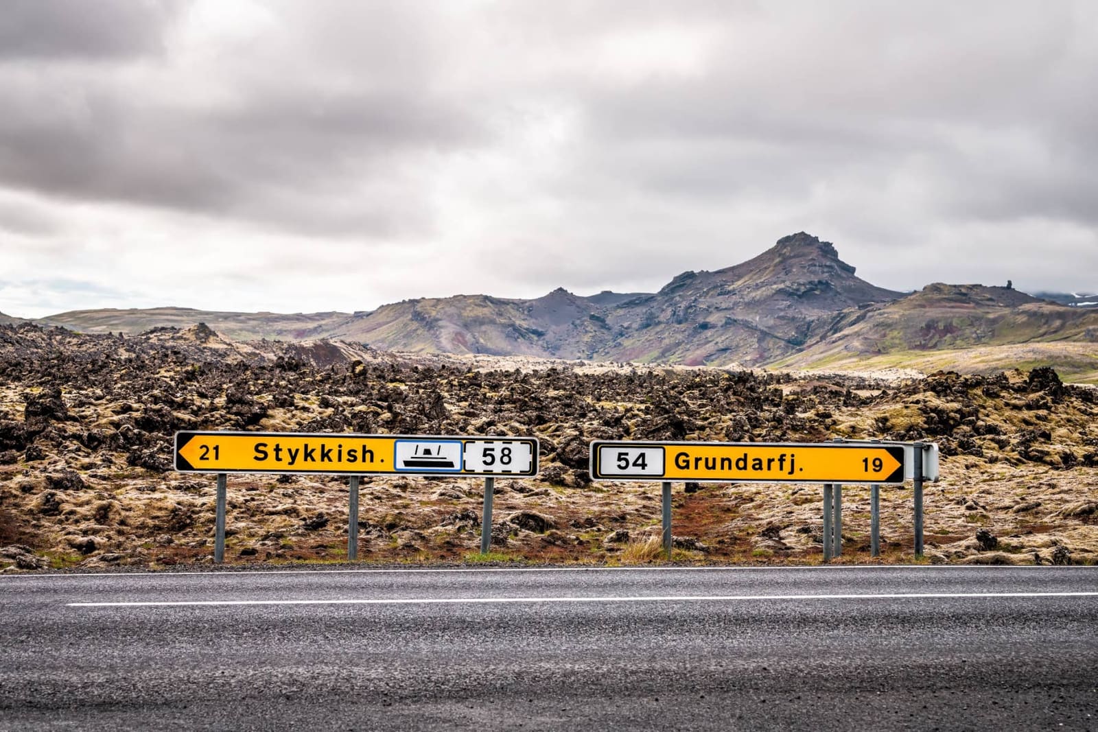
Coming from the east, Ólafsvík usually appears after the Kirkjufell and Grundarfjörður stretch. Coming from the west, it can follow Hellissandur, Rif, Snæfellsjökull, and the national-park edge.
That makes it useful but easy to overcount. If you are trying to fit the whole peninsula into one day, Ólafsvík should usually be a short pause. If you are staying overnight nearby or using the north coast more slowly, it can become a base with better context.
| Trip use | Why it works | Tradeoff |
|---|---|---|
| Quick harbor pause | Adds a real town stop between larger sights | You may only see the church and harbor edge |
| North-coast base | Keeps Kirkjufell, Rif, Hellissandur, and park roads close | It is less scenic as a destination than the route around it |
| Whale-watching context | Gives the town a wildlife reason when operators fit your plan | Operator details need direct confirmation before you build around them |
Most visitors should plan a flexible stop, not a fixed half-day attraction.
For a simple self-drive pause, 30 to 60 minutes is enough for the harbor area, the church view, and a short look at the town center. Stretch that toward 90 minutes if Pakkhús, a meal, or a slower shoreline walk is part of the reason you stopped.
The town becomes less convincing when it squeezes out stronger landscape time. If daylight, weather, or a long return drive is already pressing, use Ólafsvík as a practical break and save the longer attention for the west-coast sights.
The town is easy by Snæfellsnes standards, but several reasons to linger depend on details that can change.
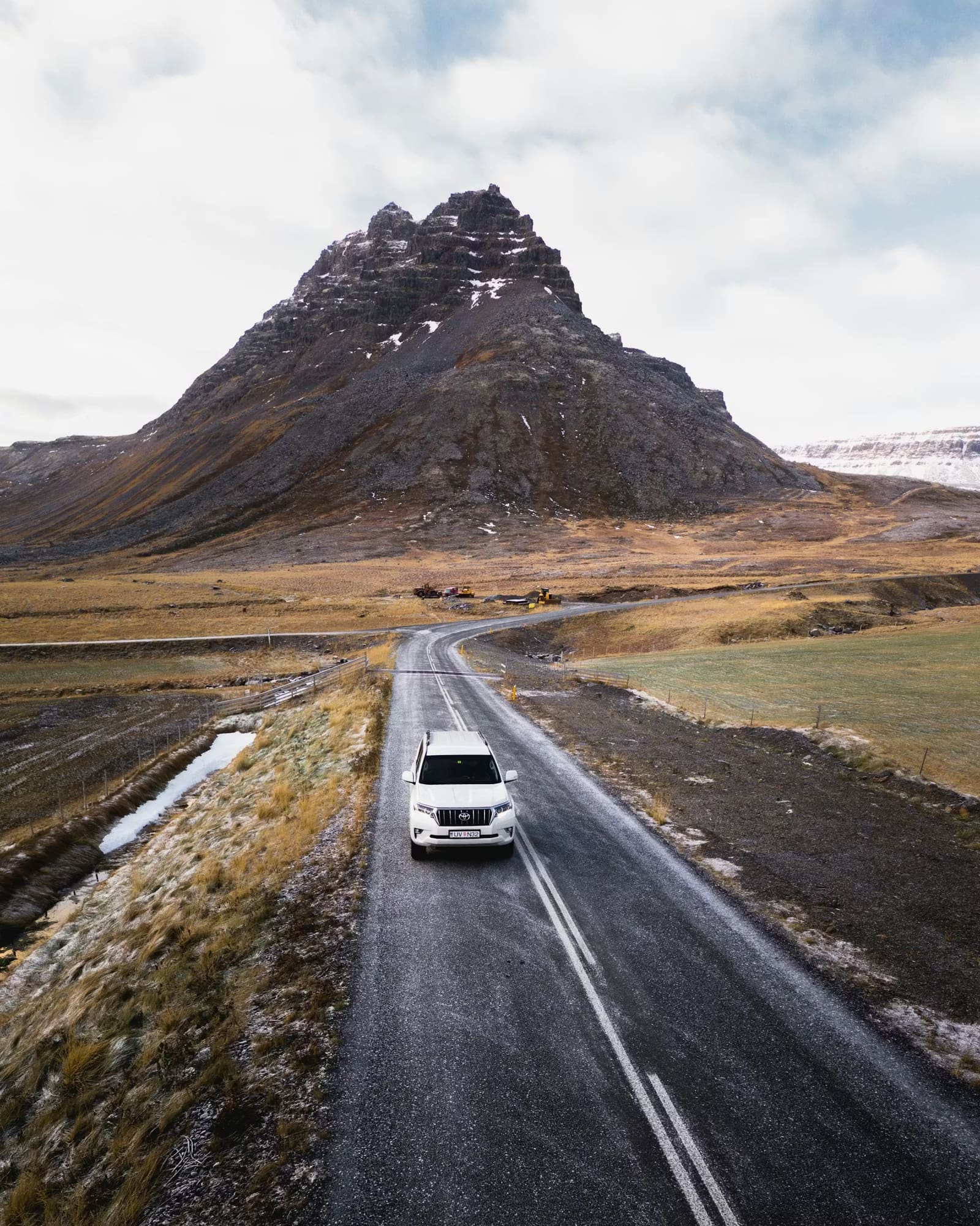
Check official road and weather guidance before driving the exposed north and west sides of Snæfellsnes, especially when your route depends on continuing toward the national park or returning east after dark.
If Pakkhús, whale watching, restaurants, swimming, or other services are the main reason for stopping, confirm those details directly before you commit. Treat this page as route guidance, not a live timetable.
Use for town identity, Pakkhús, Bæjarfoss, and nearby Snæfellsnes context.
Use for Pakkhús heritage and museum context.
Use before driving exposed Snæfellsnes roads.
Use for wind, visibility, and weather systems affecting the coast.
It is better treated as a useful town stop than a main landscape attraction. The best reasons are harbor atmosphere, church views, Pakkhús history, and north-coast route value.
Choose Ólafsvík for a larger town pause with the church, harbor, and services. Choose Rif when birdlife, the coastal path, or a smaller harbor feel matters more.
Yes, but keep it compact unless you have a specific reason to linger. The town works best when it does not steal time from the peninsula's larger landscape stops.
By ThorPublished Updated
Map
Use nearby places and useful bases before opening directions.
Interactive planning map for Ólafsvík
Interactive map
Place context and external map links remain available without loading it.
Nearby coast
Use nearby places to balance scenery, safety, wildlife seasons, and how much time the coast deserves.
Planning context
Open the region or practical guide that resolves the next planning decision.
Next step
Use the next page that helps turn this stop into a practical route decision.