Town snapshot
- Type
- Fjord town and lake stop
- Region
- Tröllaskagi, North Iceland
- Best for
- A slower coastal drive pause
- Time
- About 30 to 90 minutes
- Access
- Road and tunnel conditions matter
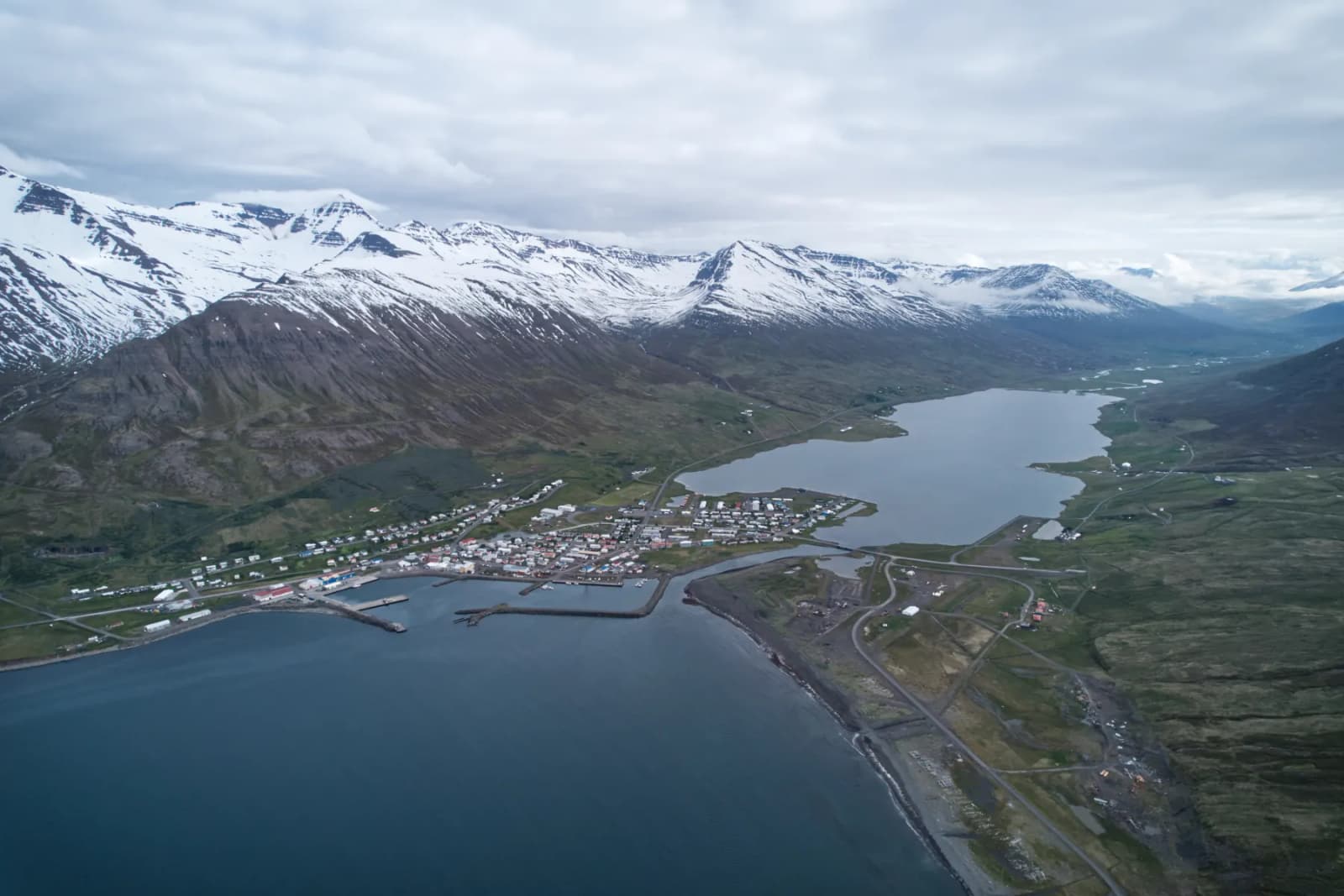
Ólafsfjörður is a North Iceland fjord town for travelers who want a quieter Tröllaskagi pause, with mountain views, a working harbor, Ólafsfjarðarvatn lake, and useful route context between Dalvík and Siglufjörður.
Town snapshot
It earns a stop when your North Iceland plan has space for fjord-town texture, not just another headline landscape.
Ólafsfjörður sits in a tight fjord on the north side of Tröllaskagi, between Dalvík and Siglufjörður. The town is not a single must-photograph sight; its value comes from the road approach, harbor, church, mountain wall, and lake behind the settlement.
That makes it most useful on a slower Tröllaskagi drive or a North Iceland trip that wants small-town pauses between bigger stops. If your day is already stretched toward Akureyri, Goðafoss, or Mývatn, keep Ólafsfjörður brief.
Photo guide
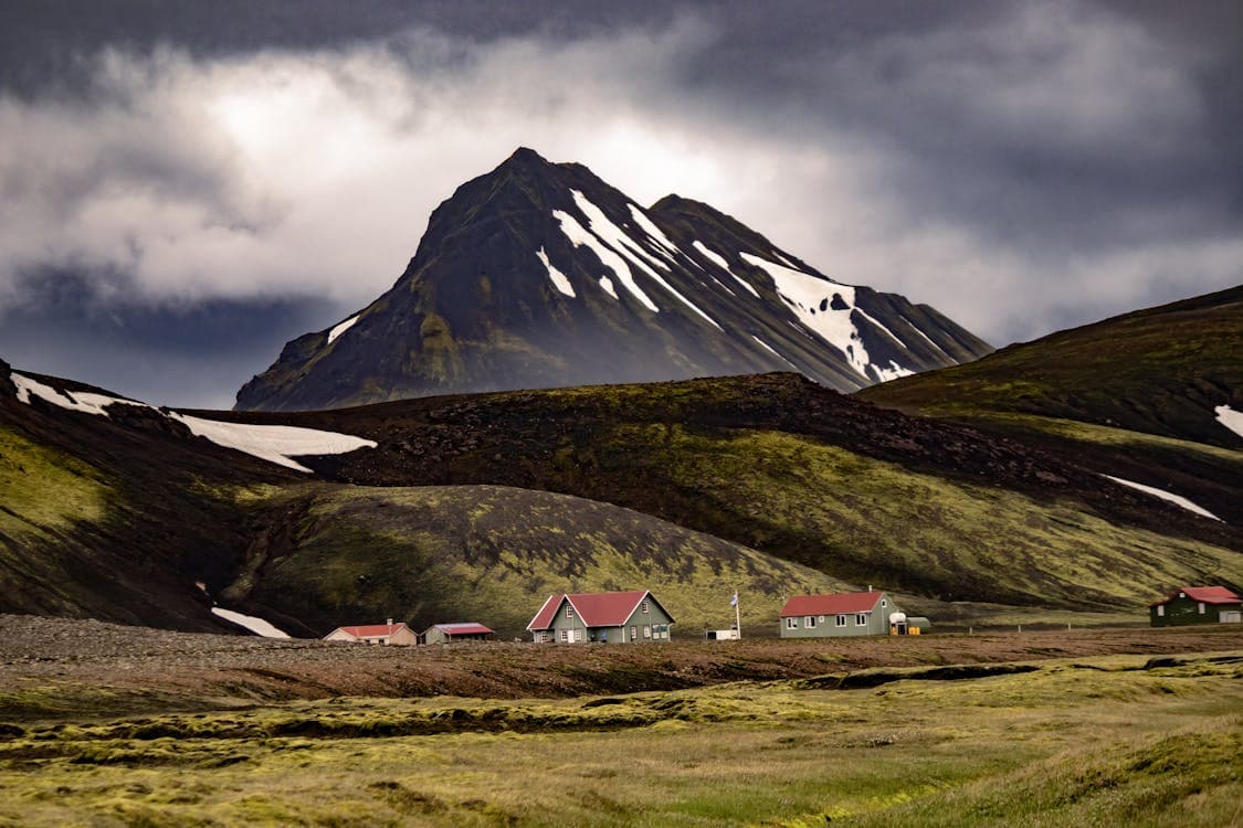
The surrounding road and fjord landscape explain why weather and visibility matter on this part of Tröllaskagi.
The town feels more convincing when you read it as a working fjord settlement rather than a polished attraction stop.
Arriving from Dalvík, the coast and tunnel approach make the place feel tucked away. Coming from Siglufjörður, it is the quieter half of a paired mountain-town route. Either way, the first impression is compact houses under steep slopes, not a built-up sightseeing strip.
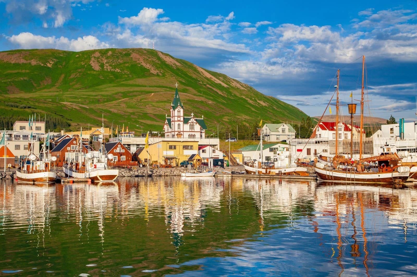
The stone church is the easiest landmark to pick out, especially if you only have a short pause. Use it as an orientation point, then look toward the harbor and lake so the stop does not become just one architecture photo.
The lake behind town adds nature, birdlife, fishing history, and a better reason to slow down.
Ólafsfjarðarvatn sits close enough to town to change the visit. The local outdoor source describes a shallow lake with long fishing history, birdlife, and seasonal outdoor use, which gives Ólafsfjörður more depth than a quick drive-through suggests.
The useful cultural layer is small but real. Pálshús and the Natural History Museum context, plus Tjarnarborg's cultural role, make the town more interesting for travelers who like local identity. Confirm details directly before making any museum or event the reason for the stop.
The town works best as part of a route decision, not as a separate detour from the region's main sights.
The cleanest pairing is a Tröllaskagi sequence: Eyjafjörður, Dalvík, Ólafsfjörður, Siglufjörður, and the north-coast road onward when conditions and timing make sense. That gives the town context without asking it to compete with waterfalls or geothermal areas.
If you are choosing between small-town stops, Siglufjörður usually has the stronger museum-and-harbor pull, while Dalvík is useful for Eyjafjörður-side services and onward island or whale-watching plans. Ólafsfjörður belongs between them when a quieter lake-and-fjord pause improves the day.
The practical decision is simple: keep the stop flexible until the road, weather, and any service-led plans still make sense.
Do not build a tight day around fixed assumptions. Check official road and weather guidance before relying on the Tröllaskagi coastal route, especially in poor visibility, high wind, snow, or when daylight is limited.
If a museum, cultural event, swimming, skiing, or operator-led activity is the reason for stopping, verify those details directly. For a simple town pause, plan enough time for the approach, a short walk, and one lake or harbor view.
Use for local identity, history, and municipality context.
Use for lake, birdlife, and outdoor context.
Use before driving the Tröllaskagi coastal route.
Use for wind, visibility, and weather warnings.
By ThorPublished Updated
Map
Use nearby places and useful bases before opening directions.
Interactive planning map for Ólafsfjörður
Interactive map
Place context and external map links remain available without loading it.
Nearby places
Compare nearby places to decide whether to stop briefly, stay longer, or use the town as a base.
Wider route
Use broader place relationships for route comparison; they are not presented as immediate nearby stops.
After Ólafsfjörður
Use the nearby town and route links to choose whether this is a brief pause or part of a slower north-coast drive.