Dramatic Iceland mountain landscape with red-roofed huts under cloudy skies

Places to see

Iceland Attractions

Compare the places that shape Iceland routes, from quick scenic stops to sights that decide the shape of a whole day.

Useful for

landmarksroute anchorsscenic stopsphoto planning

All place guides

Find sights worth building into your route.

Search and filter attraction pages and visual collections without mixing in route or region hubs.

What do you want to see?

Browse
Browse all optionsChoose attraction type

Where?

Route level

Browse
Browse all optionsChoose route cluster

Trip style

Browse
Browse all optionsChoose travel style
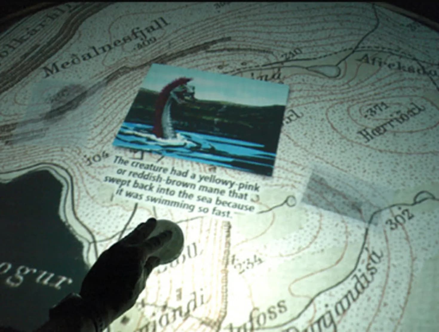
Icelandic Sea Monster Museum building in Bíldudalur with fjord village surroundings.

Icelandic Sea Monster Museum

The Icelandic Sea Monster Museum is a quirky Bíldudalur cultural stop for travelers who want folklore, a short indoor pause, and a clearer sense of how Arnarfjörður fits into a Westfjords day.

Folklore museum · Bíldudalur · Arnarfjörður · Westfjords cultural stop
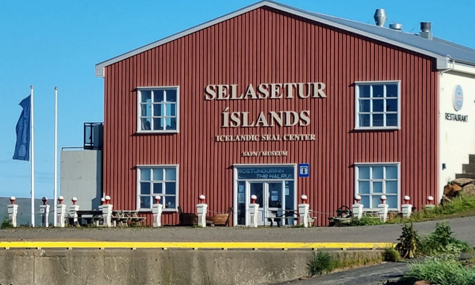
Red Icelandic Seal Center building beside the harbor in Hvammstangi.

Icelandic Seal Center

The Icelandic Seal Center is a Hvammstangi museum, research, and visitor-information stop, best for travelers who want seal context before deciding how much of Vatnsnes belongs in a North Iceland route.

Seal museum · Hvammstangi · Vatnsnes wildlife · Short cultural stop
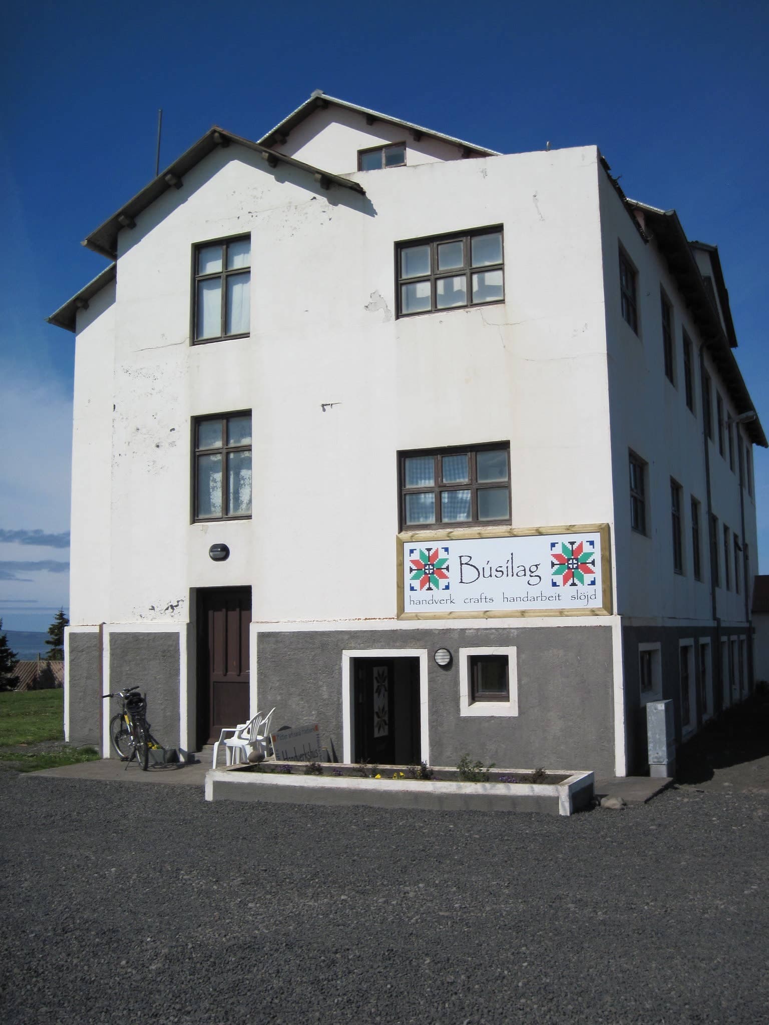
White Kvennaskólinn building housing the Icelandic Textile Center in Blönduós.

Icelandic Textile Center

The Icelandic Textile Center is a Blönduós cultural stop for travelers interested in fibre art, Icelandic wool, creative residencies, or a more meaningful pause on the northwest stretch of the Ring Road.

Blönduós textile culture · 30-75 minutes · North Iceland craft stop
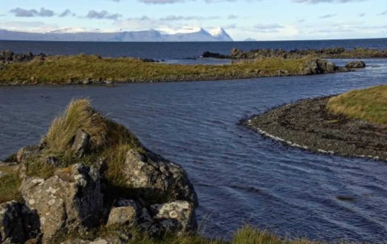
Rocky Illugastaðir shoreline with skerries and Strandir mountains across the water

Illugastaðir

Illugastaðir is a seal-watching stop on the west side of Vatnsnes in North Iceland, best for travelers who can give the coast time, patience, and responsible wildlife distance.

North Iceland · Vatnsnes seals · Quiet wildlife stop
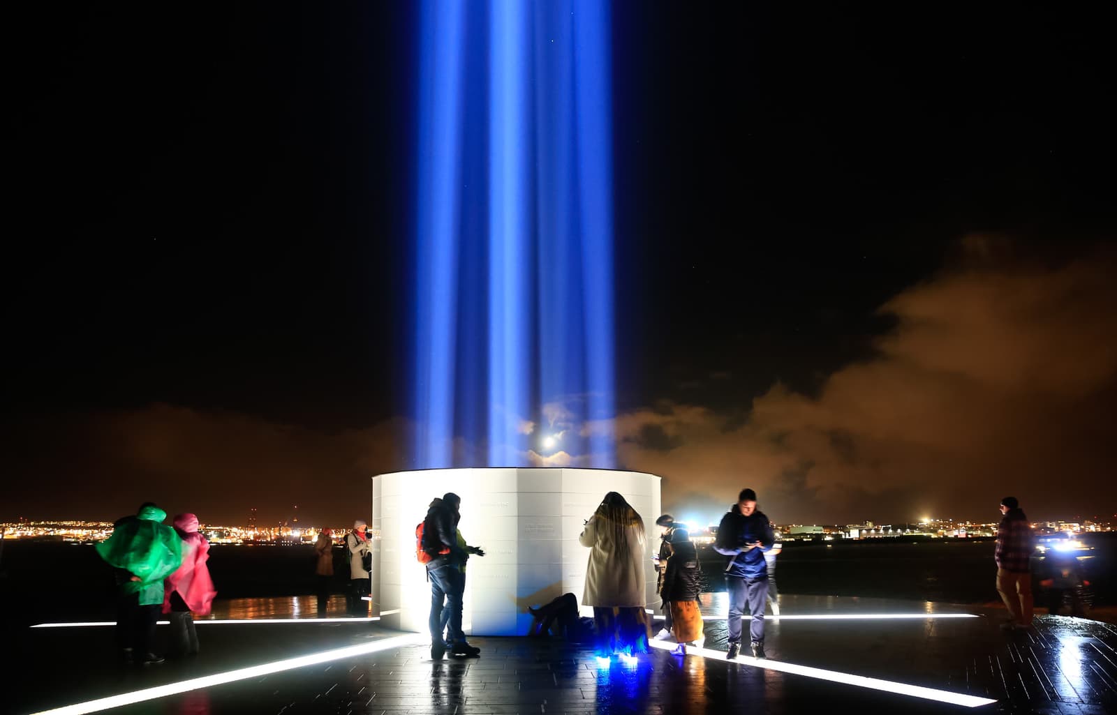
Visitors standing around the lit Imagine Peace Tower on Viðey at night

Imagine Peace Tower

Imagine Peace Tower is Yoko Ono’s light artwork on Viðey, best for Reykjavík travelers when the beam, ferry logistics, and weather make a dedicated evening stop more meaningful than a distant view.

Public art · Viðey · Reykjavík evening
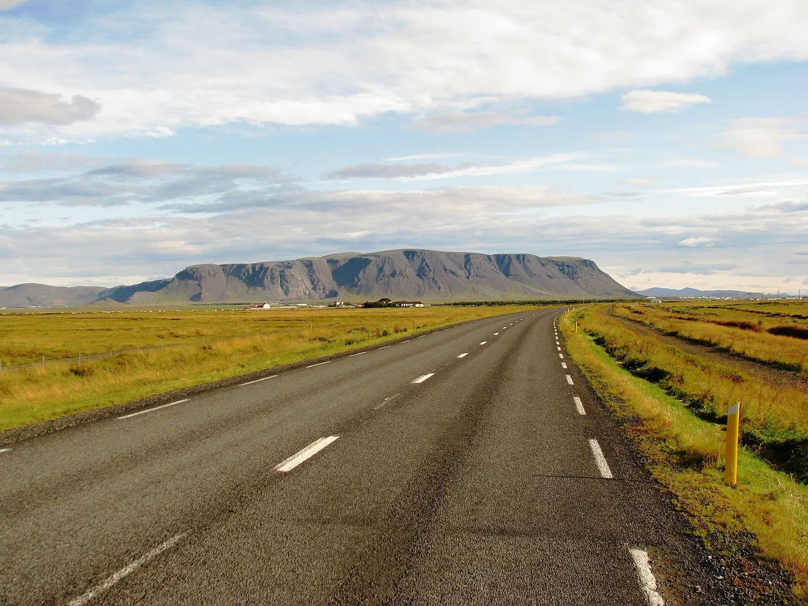
Ingólfsfjall rising above the road and low farmland near Selfoss in South Iceland.

Ingólfsfjall

Ingólfsfjall is a steep tuff mountain near Selfoss and Hveragerði, useful as a South Iceland landmark, short viewpoint context, or hiking idea when conditions and access checks make it sensible.

Near Selfoss · Golden Circle edge · Mountain landmark
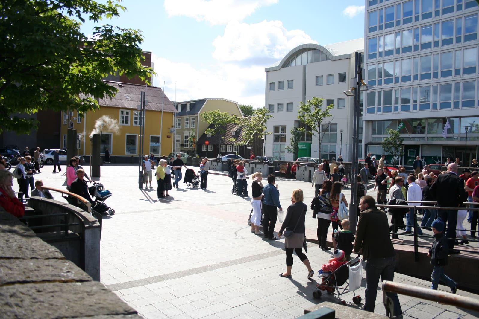
People walking through Ingólfstorg Square in downtown Reykjavík on a busy day.

Ingólfstorg Square

Ingólfstorg Square is a compact public square in central Reykjavík, useful as an old-center walking stop and most memorable when events or winter lights bring the space to life.

Reykjavík · Public square · Short city stop
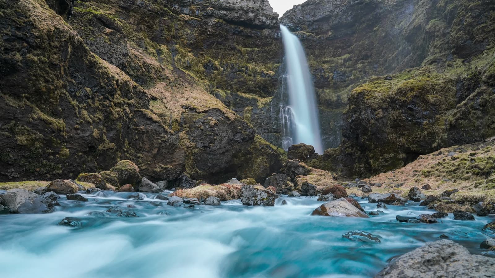
Rainbow and snow around Írárfoss waterfall in a narrow South Iceland gorge.

Írárfoss Waterfall

Írárfoss helps South Coast self-drivers decide whether a quieter waterfall near Ásólfsskáli deserves time between the bigger stops, especially when a short detour, mossy gorge, and lighter crowds matter.

Waterfall · South Iceland · South Coast
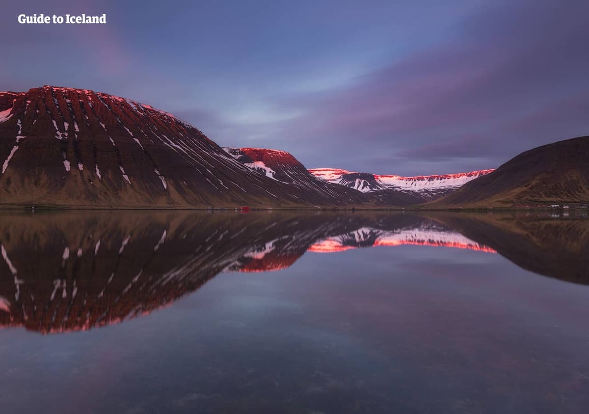
A broad Westfjords fjord landscape with water, mountains, and coastal scale that suggests Ísafjarðardjúp as part of a larger route.

Ísafjarðardjúp

Ísafjarðardjúp is the broad fjord system that shapes the northern Westfjords approach to Ísafjörður, best for travelers who can slow down for fjord roads, side villages, islands, wildlife, and weather-aware planning.

Westfjords fjord system · Route 61 / Westfjords Way · Ísafjörður approach · Slow scenic segment
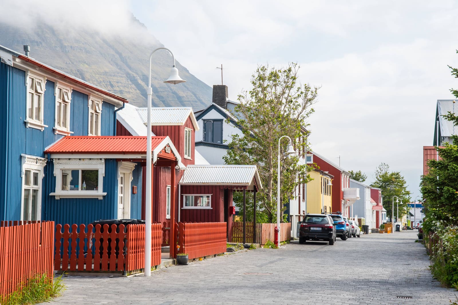
Colorful wooden houses on a quiet street in Ísafjörður with Westfjords mountains behind.

Ísafjörður

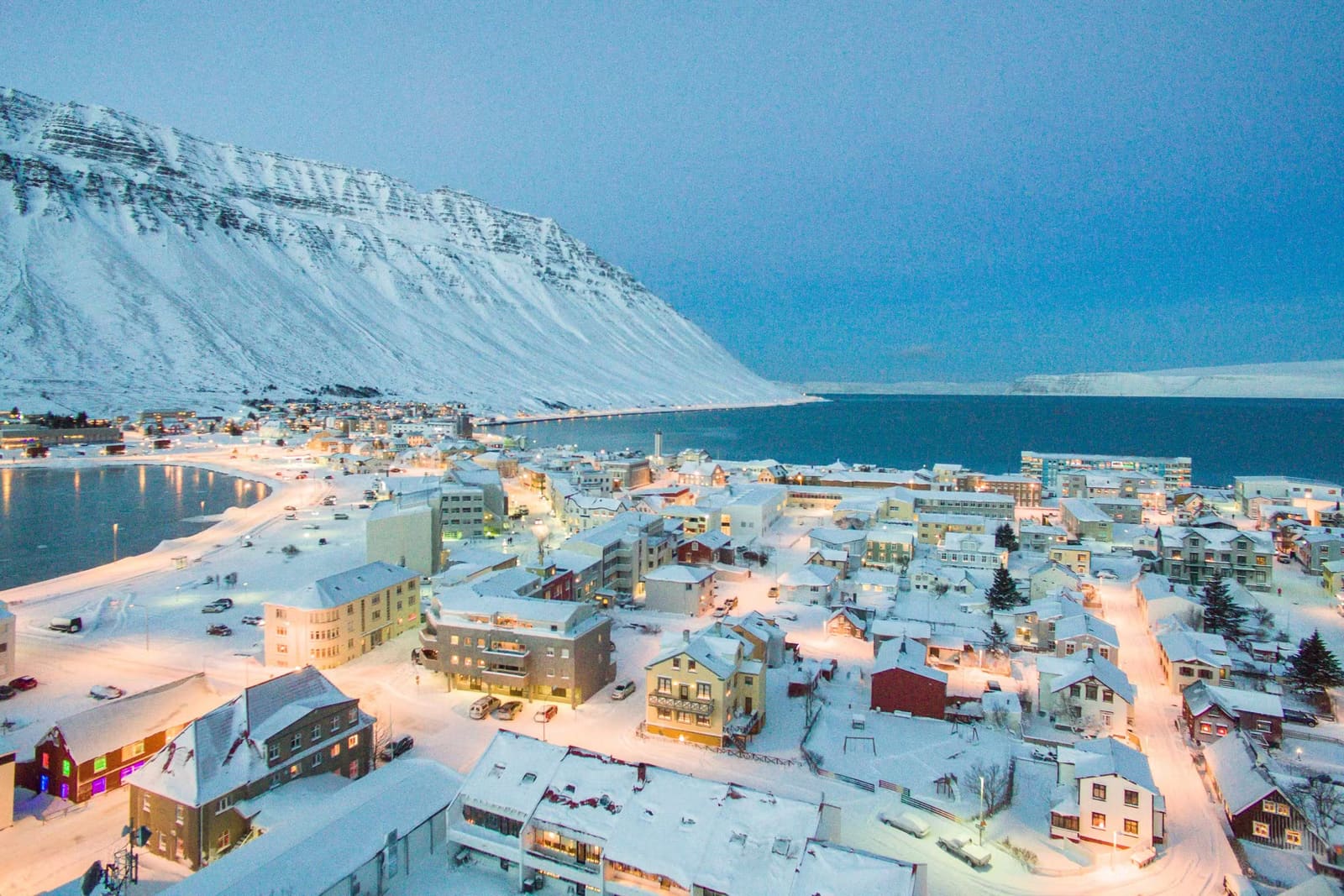
Ísafjörður is the main town base in the Westfjords, useful for travelers deciding whether to slow down for harbor streets, maritime culture, nearby fjords, Hornstrandir access, and weather-aware side trips.

Westfjords town base · Harbor and old town · Hornstrandir gateway · Westfjords Way
Ísafjörður Airport runway and terminal area in the Westfjords.

Ísafjörður Airport

Ísafjörður Airport helps travelers decide whether flying into the Westfjords, collecting a car, or arranging a town transfer makes more sense than forcing a long drive through remote fjord roads.

Westfjords arrival hub · Domestic flight context · Check current transport
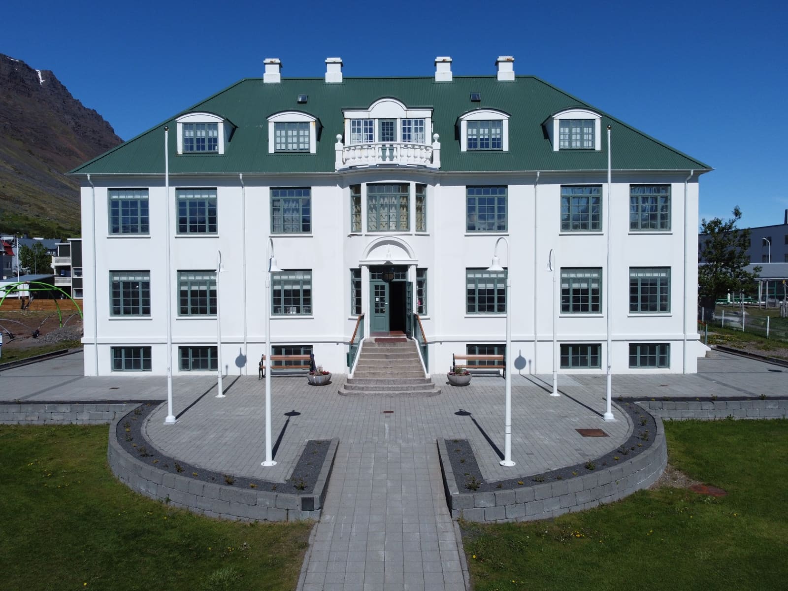
Ísafjörður Culture House seen from the front with its green roof and formal entrance.

Ísafjörður Culture House

Ísafjörður Culture House is a compact cultural stop in the old hospital, best for travelers already in town who want exhibitions, library calm, archive context, and a weather-proof Westfjords pause.

Ísafjörður cultural stop · Old hospital setting · Westfjords Way town pause
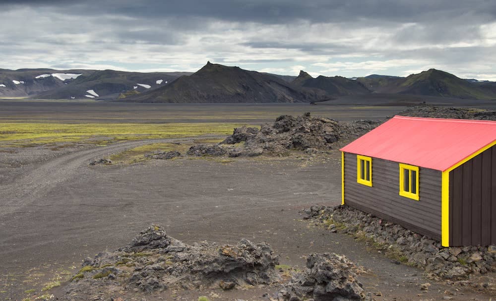
Jökulheimar hut beside black lava, mossy flats, and dark Highlands mountains near Vatnajökull.

Jökulheimar

Jökulheimar is a remote hut and glacier-edge stop west of Vatnajökull, worth adding only when a summer Highlands plan, suitable vehicle, weather window, and slow-day buffer all make sense.

West Vatnajökull · Remote hut stop · Highlands detour
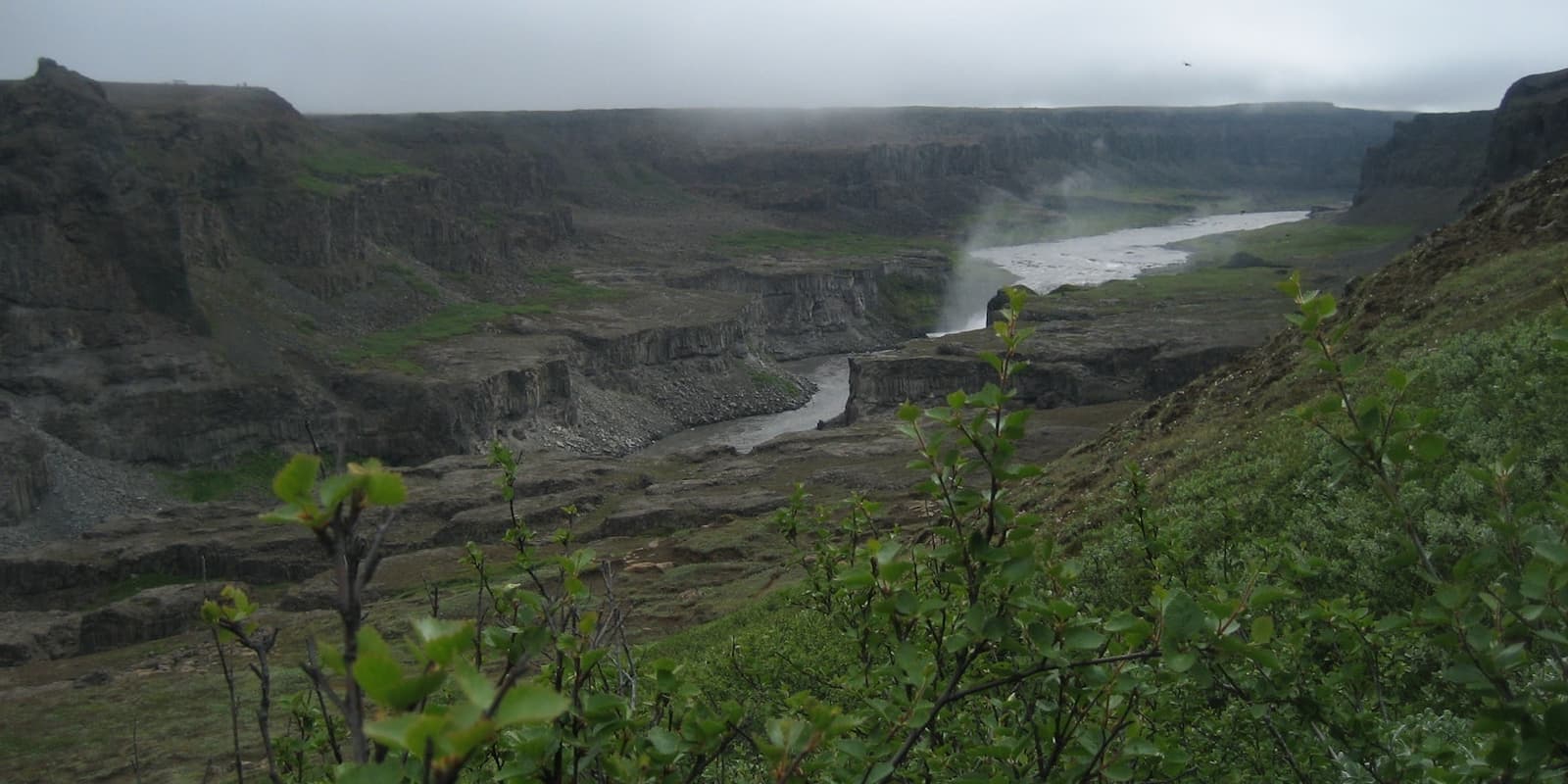
Jökulsá á Fjöllum winding through the rocky Hafragilsfoss canyon area in North Iceland.

Jökulsá á Fjöllum

Jökulsá á Fjöllum is the glacial river behind Dettifoss and Jökulsárgljúfur in North Iceland, worth planning around when you want waterfall power, canyon scale, and a realistic Diamond Circle day.

North Iceland · Diamond Circle · Glacial river
Wide view across Jökulsárgljúfur canyon near Hafragilsfoss with cliffs, river, and mist in North Iceland.

Jökulsárgljúfur

Jökulsárgljúfur is a protected canyon corridor in North Iceland between Dettifoss and Ásbyrgi, worth planning as a Diamond Circle landscape area when you have time for viewpoints, marked walks, and road-condition checks.

North Iceland · Diamond Circle · Canyon corridor
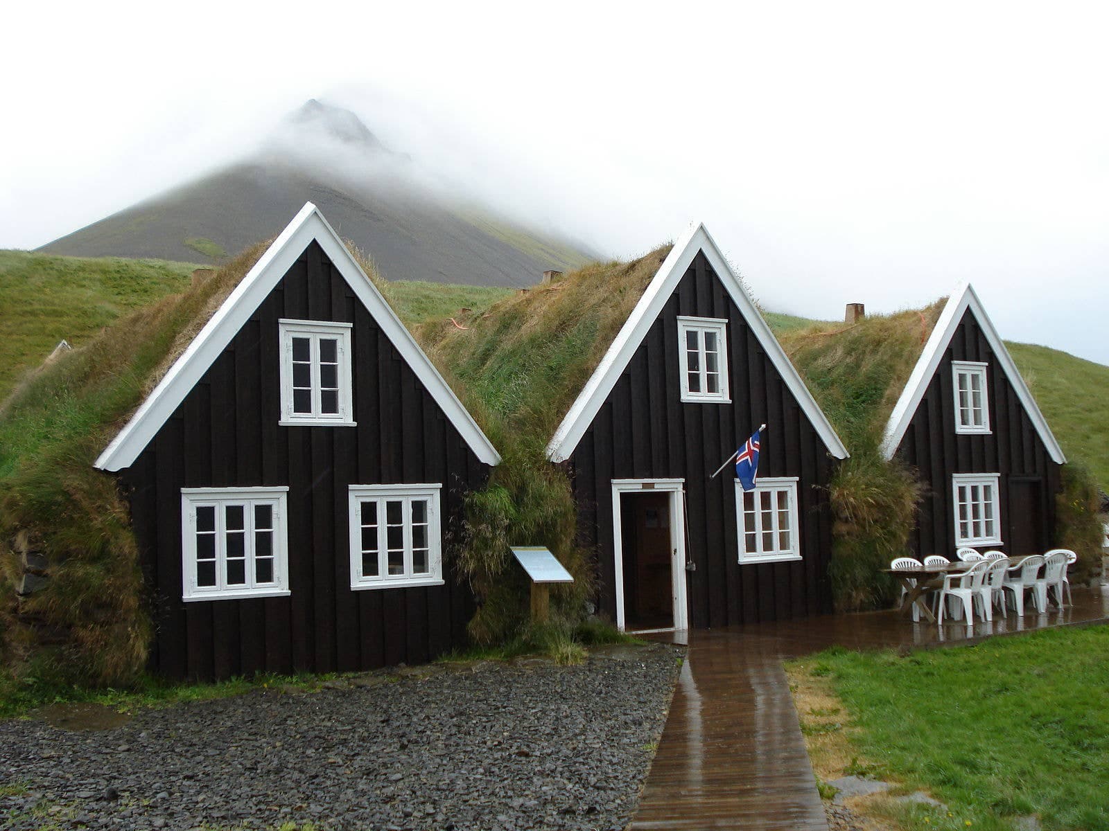
Turf-roofed museum buildings at Hrafnseyri below a misty Westfjords mountain.

Jón Sigurðsson Museum

The Jón Sigurðsson Museum is a focused cultural stop at Hrafnseyri for Westfjords travelers who want Icelandic independence history, farmstead context, and a quieter pause near Dynjandi and Arnarfjörður.

Jón Sigurðsson history · Hrafnseyri museum stop · Arnarfjörður cultural context
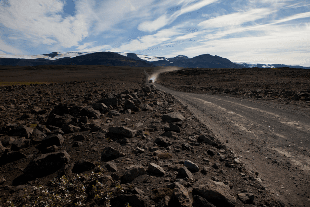
A gravel road crossing the rocky Kaldidalur valley with a vehicle dust trail and glacier views ahead.

Kaldidalur

Kaldidalur is a stark highland valley on Road 550 between the Þingvellir side and Húsafell, worth adding only when road, weather, vehicle, and route time all support the drive.

Highlands · Road 550 · Gravel access
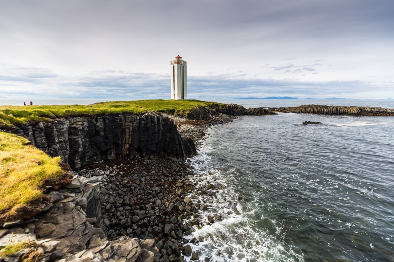
Kálfshamarsvík lighthouse above basalt cliffs and calm water on the Skagi coast in North Iceland.

Kálfshamarsvík

Kálfshamarsvík is a small basalt cove on the Skagi coast in North Iceland, worth the detour when you want dramatic columnar cliffs, a short lighthouse stop, and quieter Arctic Coast Way scenery than the usual Ring Road pace.

Basalt cove · Skagi coast · Arctic Coast Way
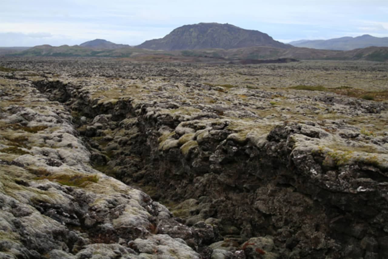
Kapelluhraun lava field near Hafnarfjörður with rough mossy rock and low hills beyond.

Kapelluhraun

Kapelluhraun is a young lava field and chapel-ruin stop beside Hafnarfjörður, useful when you want a short Reykjanes-side culture-and-geology pause, but skippable if your day needs polished scenery or a clear walking trail.

Lava field · Hafnarfjörður · Short stop
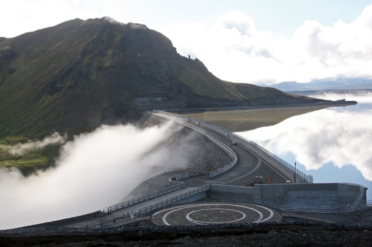
Kárahnjúkavirkjun dam spillway releasing water beside Hálslón reservoir and East Iceland highland mountains.

Kárahnjúkar

Kárahnjúkar covers the East Iceland dam and hydropower complex also called Kárahnjúkavirkjun, Hálslón reservoir, canyon viewpoints, and road 910 decisions before committing to an inland detour with enough time.

East Iceland highland edge · Kárahnjúkar name guide · Dam and reservoir context · Road 910 planning
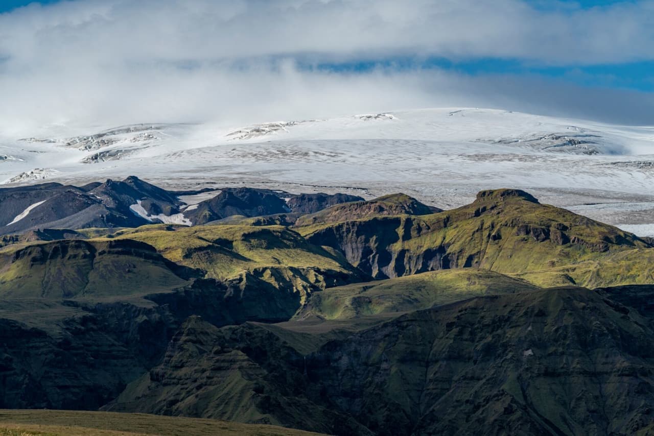
Mýrdalsjökull glacier and volcanic ridges above the Katla volcanic system on Iceland’s South Coast.

Katla

Katla is an active volcano beneath Mýrdalsjökull on Iceland’s South Coast, best planned as a safety-sensitive landscape stop where the main decision is whether to view it, book guided access, or skip close plans.

South Iceland · Volcano under glacier · Safety checks
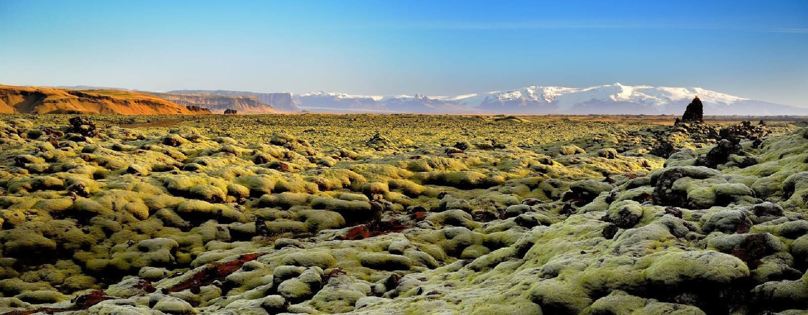
Moss-covered lava landscape inside Katla Geopark in South Iceland

Katla Geopark

Katla Geopark is a South Coast UNESCO Global Geopark, useful for travelers who want Vík, black sand beaches, glaciers, lava fields, and canyons to make sense as one connected landscape.

UNESCO Global Geopark in South Iceland · Katla volcano and Mýrdalsjökull context · Vík, black sand, lava, glaciers, and canyons · Best used as a South Coast planning lens
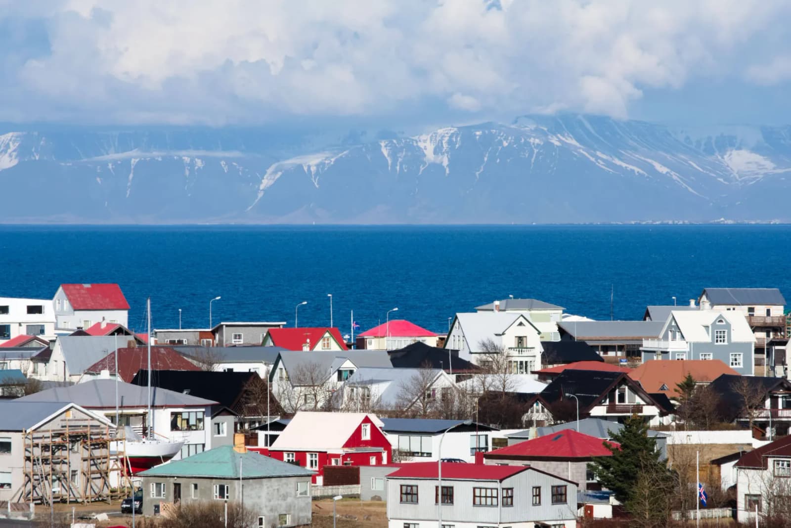
Keflavík bay and harborfront buildings under clear daylight.

Keflavík

Keflavík helps travelers decide whether this Reykjanes town should be a quick arrival stop, an overnight base, or a deliberate harbor-and-culture pause before the wider peninsula, Blue Lagoon, or Reykjavík take over the trip.

Reykjanes harbor town · Culture near KEF · 1 to 4 hours or overnight
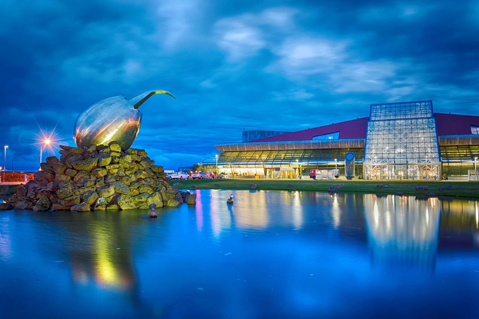
Keflavík International Airport terminal exterior and entrance sculpture at dusk.

Keflavík International Airport

Keflavík International Airport helps travelers make better arrival and departure decisions before landing or flying home: Reykjavik transfers, rental-car timing, first-night buffers, public bus checks, and nearby Reykjanes stops.

Main international arrival hub · Reykjanes airport context · Check current transport

409432 of 780 attractions

Page 18 of 33

Build a trip around the places you want to see.

Once the sights are clear, use planning pages to turn them into a route with realistic timing.