Access reality
- Type
- Dam, reservoir, and highland route
- Region
- Inland East Iceland
- Main landmark
- Kárahnjúkavirkjun dam and Hálslón
- Road
- Road 910 from Fljótsdalur
- Best for
- Deliberate inland East Iceland days
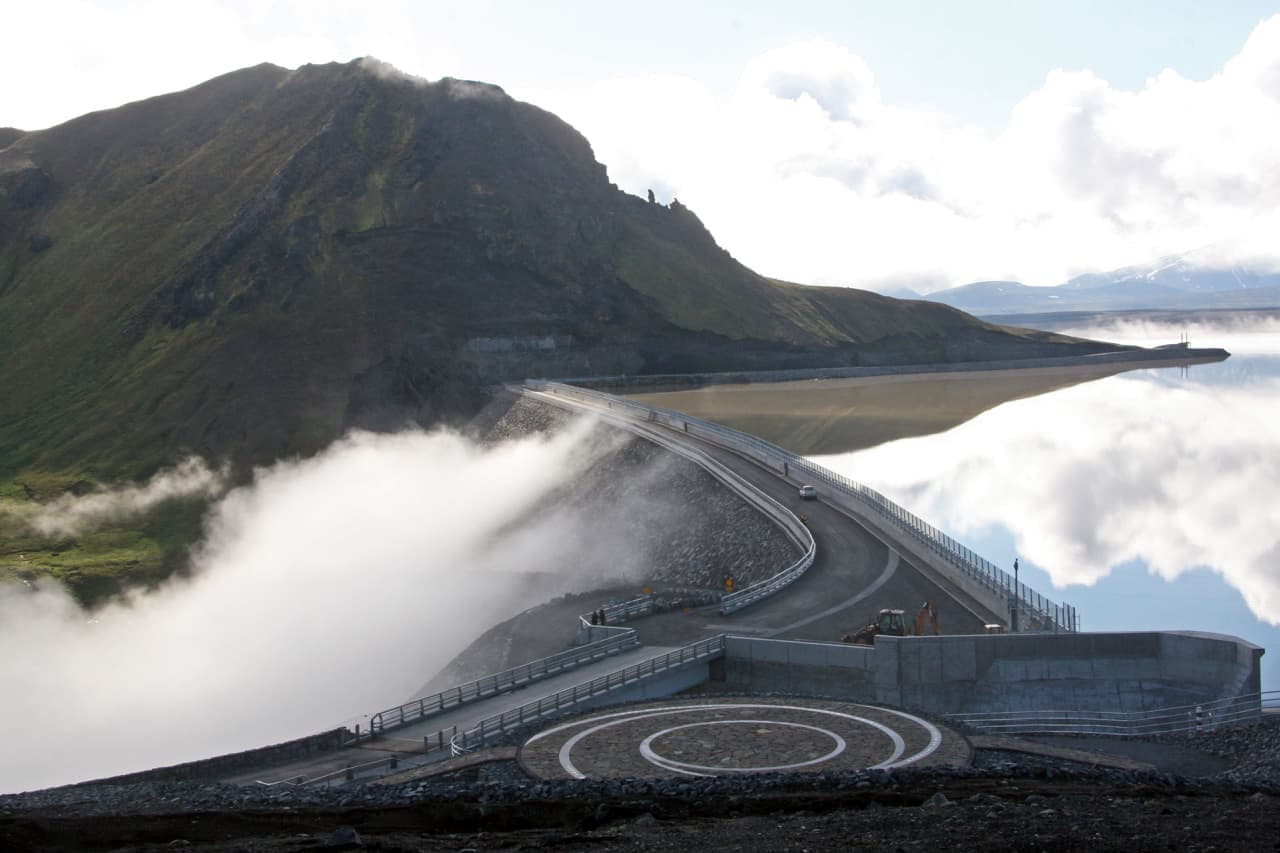
Kárahnjúkar covers the East Iceland dam and hydropower complex also called Kárahnjúkavirkjun, Hálslón reservoir, canyon viewpoints, and road 910 decisions before committing to an inland detour with enough time.
Access reality
Kárahnjúkar is best used as a highland route-context page for inland East Iceland, not as a promise of one simple attraction stop.
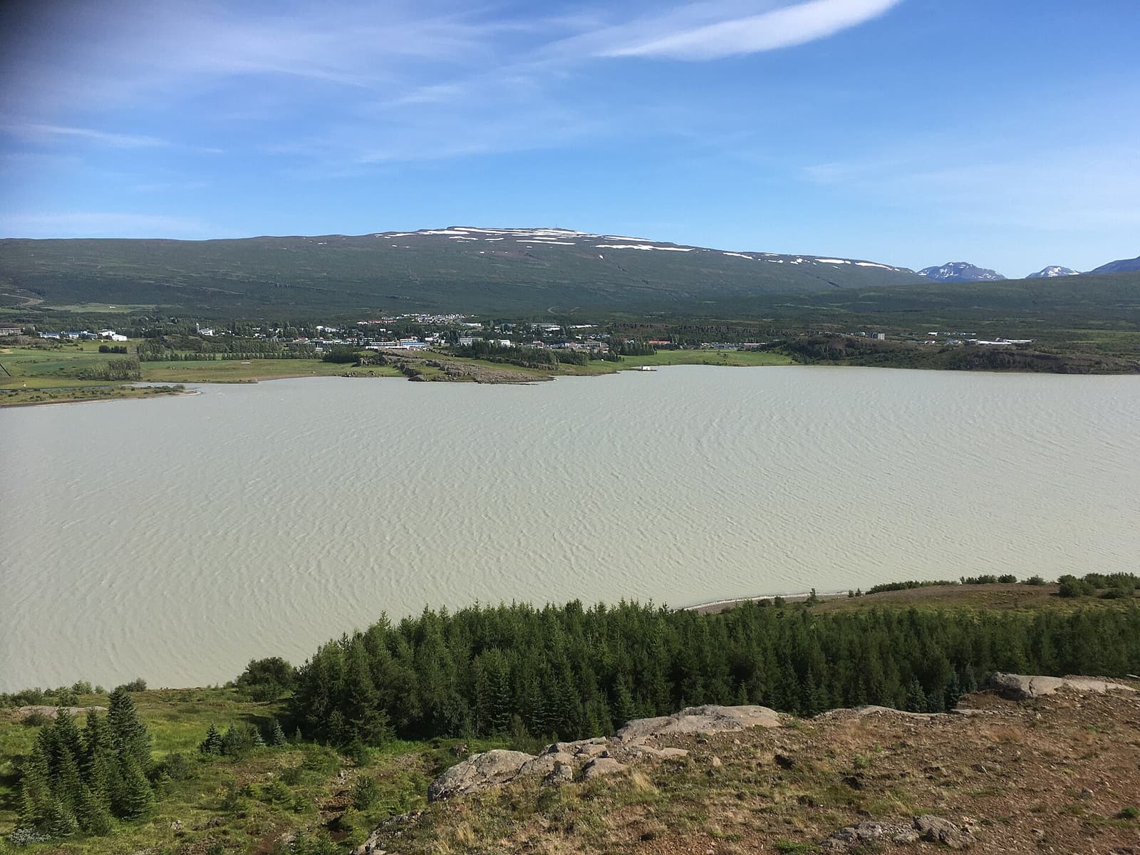
Travelers usually meet the names Kárahnjúkar and Kárahnjúkavirkjun while looking at the dam area, Hálslón reservoir, road 910, Hafrahvammagljúfur, Snæfell, or a longer branch from Egilsstaðir and Fljótsdalur. This single guide covers both the wider area and the hydropower landmark so the same detour is not counted twice.
Kárahnjúkar can be worthwhile when your trip already has room for highland scale, infrastructure, reservoir views, and canyon context. It is easy to skip when the day is a Ring Road transfer, when the weather is poor, or when your vehicle and route plan are better suited to easier East Iceland stops.
Photo guide
The dam approach gives Kárahnjúkar its clearest visitor scale.
The paved approach from Fljótsdalur is only part of the planning story; nearby canyon and highland extensions can ask more from the driver.
Regional visitor information ties Kárahnjúkar to road 910, the dam, Hálslón, Hafrahvammagljúfur, and Magnahellir. That mix is why the area can confuse travelers: one part can feel like an engineered viewpoint stop, while nearby extensions move toward rougher highland and canyon decisions.
Do not let a map make the area look easier than it is. Before committing beyond the straightforward dam visit, check Umferðin for road status, the Icelandic Meteorological Office for wind and visibility, and SafeTravel for highland-driving guidance. Rental terms and vehicle suitability matter when the route becomes rougher.
| Trip situation | Kárahnjúkar role | Check before relying on it |
|---|---|---|
| Short inland look | Dam and reservoir context | Road, weather, visitor guidance |
| Canyon-focused day | Gateway to Hafrahvammar decisions | Vehicle, roads, daylight, SafeTravel |
| Rushed Ring Road transfer | Usually optional context | Whether the detour adds enough value |
Kárahnjúkar is strongest when it explains a deliberate inland branch from the easier town, fjord, lake, and waterfall choices nearby.
From Egilsstaðir, many travelers already have appealing easier choices: Hengifoss, Lagarfljót, Hallormsstaður-area stops, or Seyðisfjörður. Kárahnjúkar asks for a different mood: less town-and-waterfall browsing, more exposed inland scale.
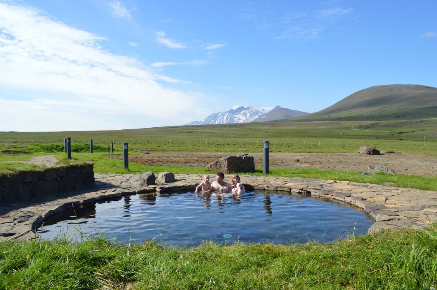
That can be exactly the point on a second trip, a photography-led East Iceland day, or a route that already includes Snæfell, Hafrahvammar, or Laugarvallalaug. It is weaker when you are trying to collect every nearby name in one day.
Treat Kárahnjúkar as conditions-dependent travel: current roads, weather, visibility, safety guidance, and operator information should shape the final decision.
Avoid building the day around fragile assumptions. Road surfaces, highland access, waterfall appearance, viewpoint availability, power-station visitor details, and nearby trail conditions can vary with season, weather, maintenance, and current restrictions.
The practical approach is to confirm official sources close to departure, then keep a fallback around Egilsstaðir, Fljótsdalur, Hengifoss, Lagarfljót, or Seyðisfjörður. Kárahnjúkar is most satisfying when it is chosen deliberately, not when it is forced into a day that was already full.
Regional visitor information supports the Kárahnjúkar place identity, dam and Hálslón context, road 910 approach, and nearby canyon guidance.
Regional route information supports Kárahnjúkar as part of an inland East Iceland highland-route decision.
Operator information supports the relationship between Kárahnjúkar, Hálslón, tunnels, and Fljótsdalur Power Station; travelers should confirm visitor details before going.
Official road information supports checking current road status before relying on the inland drive.
By ThorPublished Updated
Map
Use nearby places and useful bases before opening directions.
Interactive planning map for Kárahnjúkar
Interactive map
Place context and external map links remain available without loading it.
Planning context
Open the region or practical guide that resolves the next planning decision.
Wider route
Use broader place relationships for route comparison; they are not presented as immediate nearby stops.
Next step
Use the next page that helps turn this stop into a practical route decision.