
Waterfall facts
- Type
- Quiet waterfall and gorge
- Region
- South Iceland near Ásólfsskáli
- Best for
- Flexible South Coast self-drives
- Planning time
- Allow 30–60 minutes if access is clear
- Access
- Road 246; confirm permitted parking
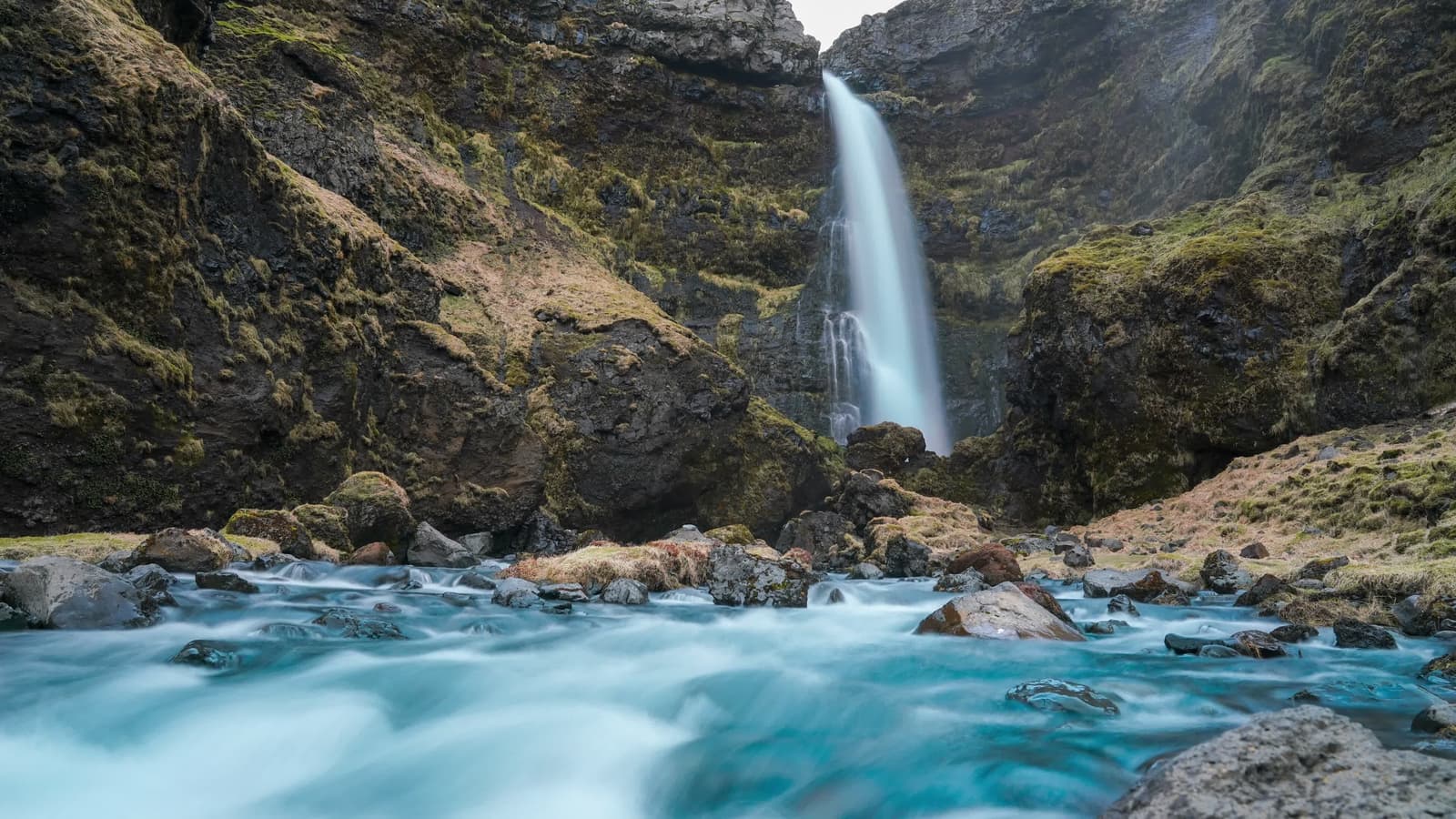
Írárfoss helps South Coast self-drivers decide whether a quieter waterfall near Ásólfsskáli deserves time between the bigger stops, especially when a short detour, mossy gorge, and lighter crowds matter.
Waterfall facts
Írárfoss is a narrow waterfall in a mossy gorge near Ásólfsskáli, between Seljalandsfoss and Skógafoss on the South Coast.
The Írá river drops through dark cliffs into a rocky hollow. Compared with Seljalandsfoss and Skógafoss, the appeal is the smaller gorge setting and a quieter pause when your route has spare time.
Add it when your day is flexible, the weather is cooperative, and you want one less-crowded waterfall scene before continuing east or west. Leave it out when daylight, road conditions, or a packed route already make the famous stops feel rushed.
Photo guide
Detail crop of the same Írárfoss view used above, showing water and mossy rock.
The visit is short, close, and weather-sensitive: a narrow fall, wet rock, green slopes, and the sound of water enclosed by cliffs.
Unlike the broad roadside theater of Skógafoss, Írárfoss feels tucked into its own little hollow. The waterfall drops from the Írá river system into a sheltered notch, with moss and rock shaping most of the view. That makes it better for a slow look than for a long checklist stop.
Spray, wind, and wet ground can change how close you want to stand. Bring layers you do not mind getting damp, protect cameras, and turn back if footing around the gorge feels poor.
The cleanest use is as a lighter waterfall detour on a South Coast self-drive, especially when the bigger stops are already planned with enough time.
If this is your first time on the South Coast, plan the major places first: Seljalandsfoss and nearby Gljúfrabúi, then Skógafoss, with beach and glacier stops depending on the day. Írárfoss belongs in the gap only when it improves the pace instead of compressing it.
For travelers who already know the famous falls, Írárfoss pairs well with Gluggafoss or a slower Eyjafjöll-area day. That version of the route feels more local and less like a race from viewpoint to viewpoint.
Road 246 is the local detour from the Ring Road. Check that your map result is near Ásólfsskáli, then identify a permitted place to stop before approaching on foot.
A waterfall pin is not a parking entrance. Follow local signs and respect farm access; do not block a gate, drive onto the land toward the falls, or stop on the main road for a photograph. Skip the detour if you cannot identify a permitted stopping place and a safe approach.
Allow 30–60 minutes as a planning estimate when access is straightforward, rather than a measured walking time. No exact public parking point, maintained path length, step-free route or visitor facilities are confirmed here. South Iceland’s 2024 destination plan lists landowner-led access and parking improvements; that planning record does not establish what is available today.
Check road conditions and the weather before leaving Route 1. Spray can leave rocks slippery, and winter ice, rain or strong wind may make the gorge unsuitable for a close approach. Stay back from wet edges and keep the stop optional.
The 2024 regional plan includes landowner-led access and parking work. A historical Icelandic-language record; it does not confirm access or parking arrangements today.
Use for driving conditions before small South Coast detours.
Use for wind, precipitation, warnings, and visibility.
Use for general outdoor travel and condition-aware planning.
Local tradition connects the Írá name with Ásólfur, an Irish Christian settler. Treat it as a place-name story rather than a proven account of the waterfall’s origin.
NAT’s Ásólfsskáli guide retells the Landnámabók story of Ásólfur moving between farms in the area. The same guide distinguishes Írárfoss from Hestafoss farther upstream on the Írá. The river and nearby farm names give this small waterfall a local context beyond the photograph.
For the next planning step, decide whether your day needs another quiet waterfall or a stronger anchor. If the answer is a bigger anchor, move back to Skógafoss. If the answer is route shape, use the South Coast road trip guide before adding more detours.
Icelandic-language local history; distinguishes Írárfoss from upstream Hestafoss and attributes the settler story to Landnámabók.
Still frame and detail crop from the Írárfoss time-lapse video, licensed CC BY-SA 4.0: https://creativecommons.org/licenses/by-sa/4.0/
Írárfoss photograph, licensed CC BY-SA 3.0: https://creativecommons.org/licenses/by-sa/3.0/
Source for the wide photograph; the source page does not name a photographer.
By ThorPublished Updated
Map
The pin identifies the Írárfoss area, not a verified public parking entrance. Check permitted parking and local access along Road 246, then continue on foot; do not drive toward the waterfall pin.
Interactive planning map for Írárfoss Waterfall
Interactive map
Place context and external map links remain available without loading it.
Planning context
Open the region or practical guide that resolves the next planning decision.
Wider route
Use broader place relationships for route comparison; they are not presented as immediate nearby stops.
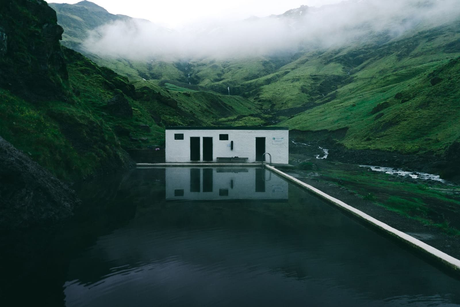
Seljavallalaug is a historic geothermal swimming pool hidden in Seljavellir valley on Iceland’s South Coast; visit for the setting and short walk, but skip it if you need spa comfort, managed bathing, or predictable conditions.
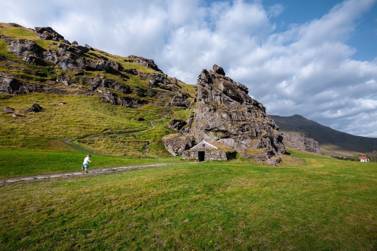
Eyjafjallajökull is the glacier-capped South Coast volcano made famous by the 2010 eruption; visit for route context and views, but treat glacier or summit access as serious guided terrain.

