Katla is worth adding when it helps you understand the volcanic and glacial scale behind the Vík area

Yes, Katla is worth adding when it helps you understand the volcanic and glacial scale behind the Vík area, but it is strongest as a conditions-led landscape decision rather than a casual close-access stop.

Katla is not a neat roadside attraction with one platform and a predictable visit. The volcano sits beneath Mýrdalsjökull, so the travel value comes from seeing the glacier, the outwash plains, the black-sand coast, and the mountain weather as one connected South Coast landscape.

Add Katla when the day already centers on Vík, Reynisfjara, Dyrhólaey, or Mýrdalsjökull and the official checks support the plan. Skip it when a first South Coast day is already full with Skógafoss, Seljalandsfoss, the beach, and the drive east.

Worth the stop?

When this stop makes sense

Good match for

  • South Coast self-drivers who want volcanic scale without pretending conditions are fixed
  • travelers already spending time near Vík, Reynisfjara, Dyrhólaey, or Mýrdalsjökull
  • visitors comparing a guided glacier or ice-cave context with easier roadside stops
  • photographers who are comfortable letting weather and official guidance decide the day

Think twice if

  • short first trips that already feel full with waterfalls, black sand beaches, and the drive east
  • travelers looking for a simple roadside viewpoint with guaranteed close access

Pair it with

DyrhólaeyWinter Driving in IcelandJökulsárlón Glacier LagoonSkogafoss

Katla: you are seeing a volcano mostly hidden by ice, plus the landscape it has shaped

You are seeing a volcano mostly hidden by ice, plus the landscape it has shaped: glacier slopes, meltwater plains, dark sand, and a South Coast horizon that can change quickly with weather.

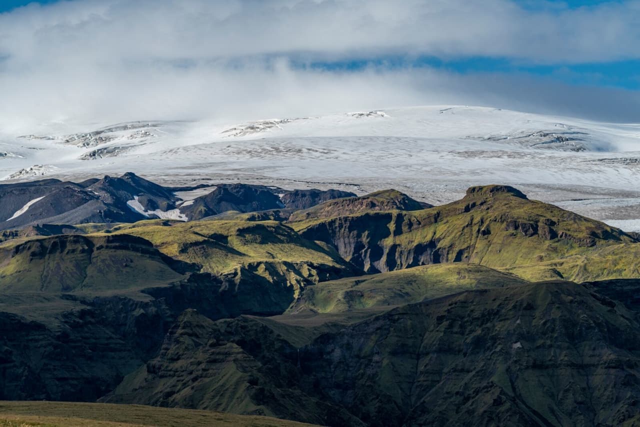
Katla sits under Mýrdalsjökull, north of Vík. That makes the attraction less obvious than a crater you can walk around, but more important for understanding why this part of the coast feels so wide, dark, and exposed.

Katla is best understood through the glacier and outwash landscape around it.
Aerial view of Mýrdalsjökull, Katla, and the dark Mýrdalssandur outwash plain in South Iceland.

Katla is best understood through the glacier and outwash landscape around it.

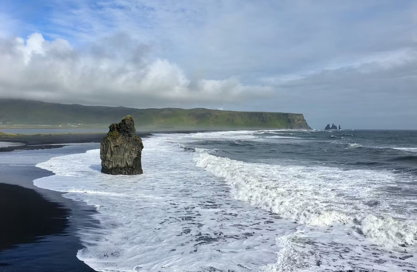
The surrounding land also explains why nearby stops feel different from one another. Reynisfjara gives the dangerous surf and basalt edge, Dyrhólaey gives the coastal overview, and Katla gives the volcanic engine behind much of the wider setting.

Which version of a Katla visit makes sense?

Choose the version that matches your time, risk tolerance, transport, and official-condition checks. A distant view can be enough; closer glacier-area plans need more caution.

Katla visit choices
Visit styleBest whenMain check
Distant landscape viewYou want Katla context while keeping the South Coast day simpleVisibility and safe stopping places
Guided glacier or ice-cave contextYou want to experience Mýrdalsjökull terrain with qualified local guidanceOperator details, weather, and safety guidance
Longer rougher approachYou have the right vehicle, enough time, and conditions support the planRoad status, weather warnings, and local advice
Skip or background-onlyCloud, wind, road conditions, or time pressure make close plans weakNearby alternatives around Vík and Skógafoss

For many travelers, the best Katla decision is not to chase the closest possible point. It is to use the volcano as context for the South Coast, then spend active time where access and safety are clearer.

Glacier and ice-cave contexts belong in guided, conditions-led plans rather than casual detours.
Blue ice and dark volcanic ash inside an ice cave area at Mýrdalsjökull near Katla.

Glacier and ice-cave contexts belong in guided, conditions-led plans rather than casual detours.

How long should you allow around Katla?

Allow anything from a brief landscape pause to a half-day or longer, depending on whether Katla is only route context or part of a guided glacier-area plan.

If you only want to understand where Katla sits, build it into the South Coast drive as background context around Vík, Reynisfjara, Dyrhólaey, and Skógafoss. That version should not force the day to bend around one uncertain view.

If you want glacier terrain, ice, or rougher volcanic landscapes, give the plan more breathing room. Weather, road surfaces, meeting points, daylight, and safety guidance can all change how much of the day Katla deserves.

The glacier terrain is part of Katla’s identity, but it also changes the planning stakes.
Ash-streaked glacier ice on Mýrdalsjökull above the Katla volcanic system.

The glacier terrain is part of Katla’s identity, but it also changes the planning stakes.

What nearby South Coast stops pair well with Katla?

Katla works best when it supports a Vík and South Coast day, not when it pulls you away from stronger nearby stops without enough payoff.

If this is your first time on the South Coast, compare Katla against the obvious anchors. Reynisfjara and Dyrhólaey usually give the clearest Vík-area payoff, while Skógafoss and Seljalandsfoss are easier waterfall anchors west of the glacier.

Katla becomes more valuable when your route already has space for volcanic context, a guided glacier-area plan, or a slower night near Vík. On longer routes, it can also help connect the west side of the South Coast with bigger ice landscapes farther east, including Jökulsárlón.

  • Go if the weather gives views and you want the volcanic story behind the Vík area.
  • Skip if the day is already crowded and the only reason to add Katla is curiosity.
  • Check before committing if the plan depends on glacier access, rougher roads, guided timing, or exposed weather.
Close glacier experiences need qualified guidance and official-condition checks.
A traveler with glacier gear standing on Mýrdalsjökull near the Katla volcanic system.

Close glacier experiences need qualified guidance and official-condition checks.

Katla: use official sources for the details that can change

Use official sources for the details that can change: volcanic information, weather warnings, road conditions, safety advice, guided-access details, and on-site instructions.

Katla is a good example of why an attraction page should not pretend to be live safety confirmation. Use this page to decide whether the stop belongs in your plan, then use official sources to decide the final version of the day.

Official checks before you go

Katla FAQ

These are the questions that usually decide whether Katla strengthens a South Coast plan or becomes unnecessary friction.

Can you visit Katla without a guide?

You can understand Katla from surrounding roads and viewpoints, but glacier or close-terrain plans should depend on official guidance and qualified local expertise. Do not treat the ice or volcanic terrain as a casual self-guided walk.

Is Katla a quick stop?

Katla can be quick if it is only landscape context, but it is not a simple waterfall-style stop. Guided glacier-area plans or rougher approaches need more time and stronger condition checks.

Should Katla replace Reynisfjara or Dyrhólaey?

Usually no on a short first South Coast day. Reynisfjara and Dyrhólaey give clearer visitor payoff, while Katla adds volcanic context when the route has enough space.

What changes a Katla plan most?

Weather, visibility, road conditions, glacier safety, volcanic information, daylight, and guided-access details change the plan most. Verify those details with official sources before relying on close access.