Coast snapshot
- Type
- Black-pebble cove and fishing-station site
- Region
- Western Snæfellsnes Peninsula
- Best for
- A quieter add-on after Djúpalónssandur
- Time
- About 30 to 60 minutes
- Access
- On foot from the Djúpalónssandur side
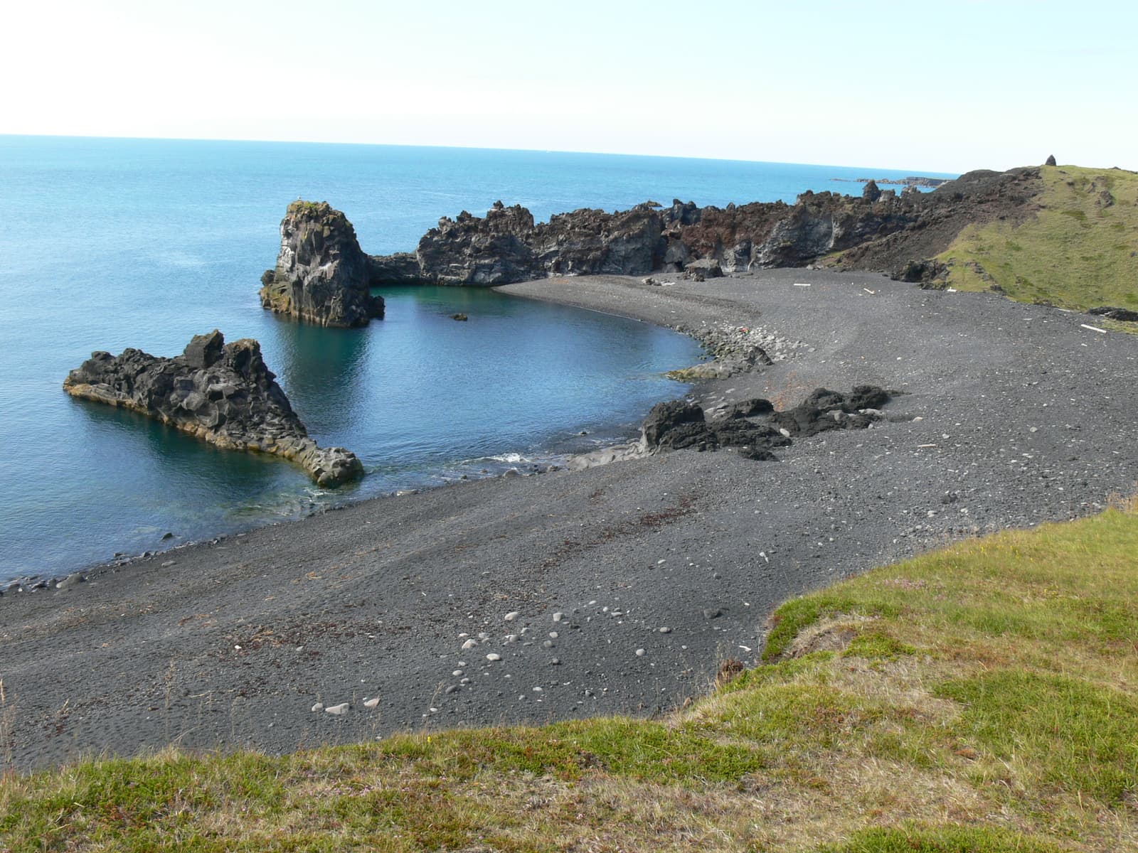
Dritvík Cove is a black-pebble coastal walk beyond Djúpalónssandur, useful for travelers who want a quieter Snæfellsnes stop with old fishing-station history, lava cliffs, and a clear safety-and-time decision.
Coast snapshot
Dritvík is worth adding when Djúpalónssandur is already in your plan and the day has room for a short, rougher coastal extension.
The cove is not the obvious first stop on this part of Snæfellsnes. Most travelers arrive for Djúpalónssandur, then decide whether to continue west toward Dritvík. That makes the useful question simple: do you want a quieter cove with more walking and more history, or is the beach itself enough?
Choose Dritvík when the wind is manageable, the surf feels serious but not chaotic, and you have time to move slowly over stones and marked ground. Shorten the plan when your day still needs Lóndrangar, Vatnshellir Cave, Snæfellsjökull, or Skarðsvík Beach before daylight or weather closes in.
Photo guide
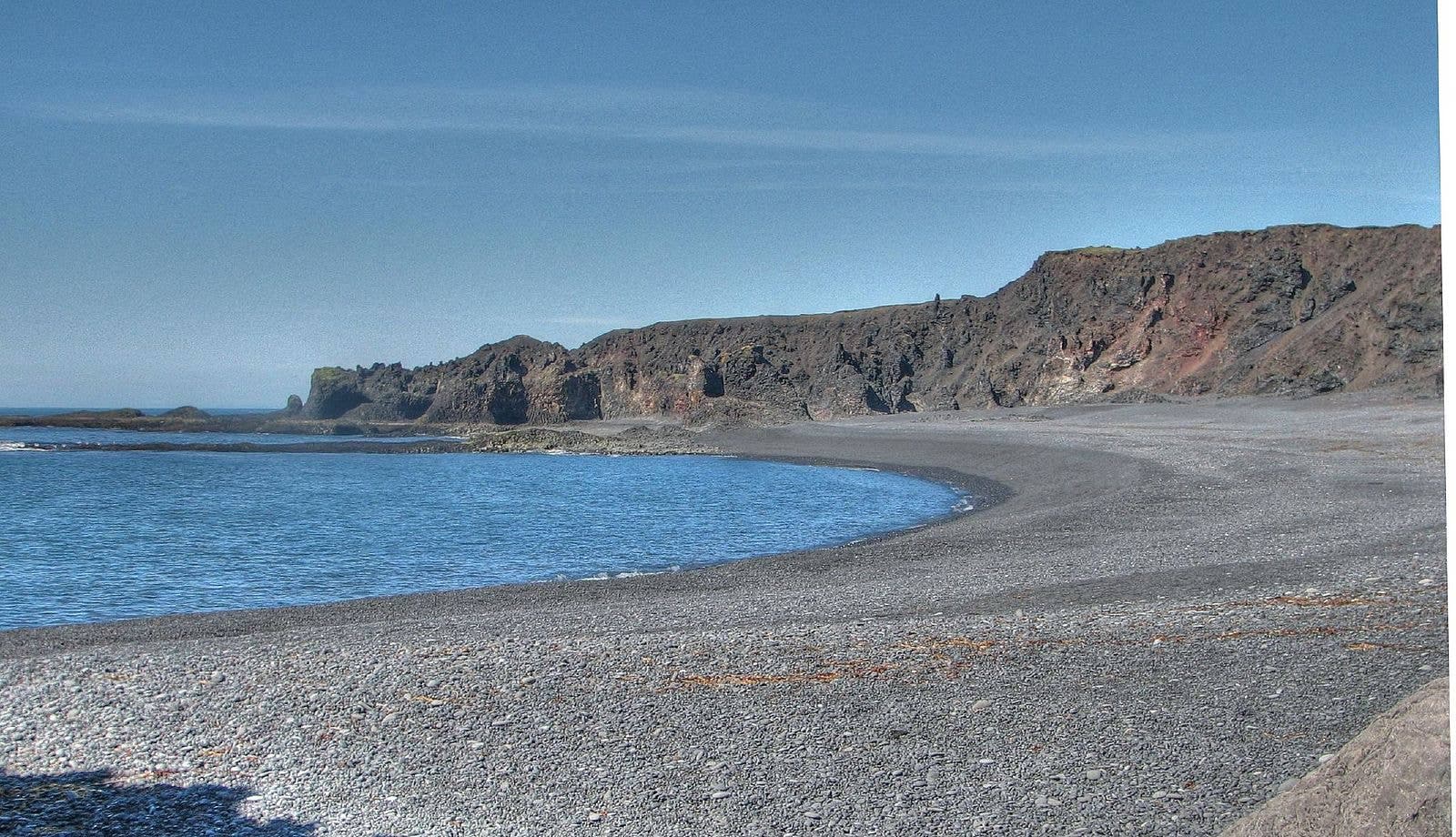
The nearby black-pebble coast explains why surf and footing shape the walk.
The extra value is not another checklist sight. It is the enclosed shape of the cove, the darker lava edges, and the feeling of a worked coast.
Dritvík feels more contained than the main Djúpalónssandur stop. Black pebbles sit below lava walls, rock forms break the water, and the Atlantic sound is close enough that the place feels active even when there are few people around.
It is also quieter in purpose. Djúpalónssandur gives you the stronger headline: lifting stones, shipwreck remains, and a dramatic descent. Dritvík adds a more reflective finish, especially if you want to understand why this coast mattered before it became a scenic stop.
The cove matters because it was once a seasonal fishing station, not just because the rocks photograph well.
Official park material describes Dritvík as a place where seasonal workers once gathered, and regional sources connect it with the older fishing life around Djúpalónssandur. Keep that context in mind as you look at the cove: the shelter, landing place, stones, and rough coast are part of the same story.
Do not expect a reconstructed village or a polished museum stop. The history is read through place: the cove's shelter, the walk from the better-known beach, and the hard practical landscape that made fishing work possible and dangerous.
Plan Dritvík as a short walk with real coastal judgement, not as a casual stroll to the waterline.
The official trail page frames Dritvík as foot-access from the Djúpalónssandur side and warns about heavy surf and undertow. For most travelers, the practical visit is about 30 to 60 minutes including pauses, photos, and the return, but rough footing and wind can make it feel slower.
The cove works best as one selected layer in the western national-park coast, not as another pin added automatically.
A clean route uses Dritvík after Djúpalónssandur, then continues only if the day still has space for nearby stops. Lóndrangar gives sea-stack scale, Vatnshellir Cave gives a guided lava-tube decision, Snæfellsjökull gives the glacier-volcano backdrop, and Skarðsvík Beach gives a very different beach contrast.
| Trip shape | Use Dritvík this way | Watch the tradeoff |
|---|---|---|
| Focused coast stop | Add the cove after Djúpalónssandur for more solitude and fishing history. | You may spend less time at later viewpoints. |
| Fast peninsula loop | Keep Dritvík optional and decide after seeing conditions at the beach. | The walk can turn a tight route into a rushed one. |
| Photography day | Use the cove for black pebbles, lava cliffs, water, and scale. | Wind and spray can limit safe angles. |
Before you build the cove into a tight day, check the sources that affect exposed coast and western Snæfellsnes driving.
Use the national-park trail information for route context, then check weather, road, and travel-safety guidance before treating the walk as simple. This is especially important when wind, surf, ice, fog, or daylight could change the value of continuing beyond Djúpalónssandur.
Use for the Djúpalónssandur-Dritvík walking context and park guidance.
Use for conservative beach-safety habits around exposed Icelandic shores.
Use before depending on western Snæfellsnes driving.
Use for wind, visibility, and coastal weather decisions.
By ThorPublished Updated
Map
Use nearby places and useful bases before opening directions.
Interactive planning map for Dritvík Cove
Interactive map
Place context and external map links remain available without loading it.
Planning context
Open the region or practical guide that resolves the next planning decision.
Wider route
Use broader place relationships for route comparison; they are not presented as immediate nearby stops.
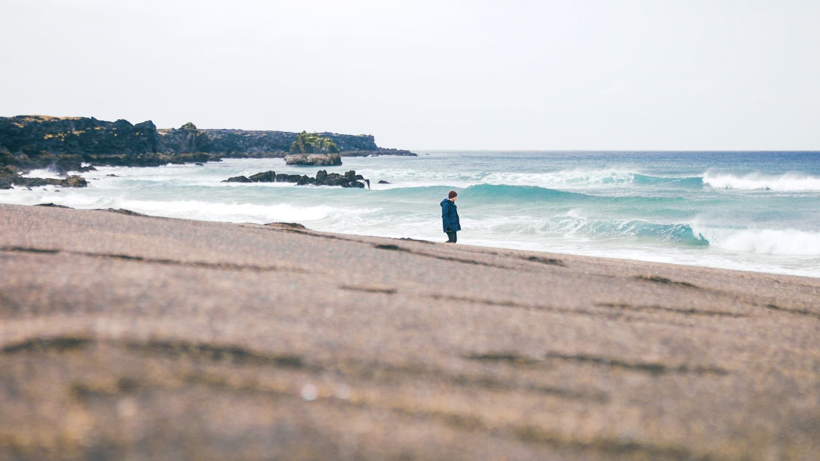
Skarðsvík Beach is a small golden-sand cove on western Snæfellsnes, worth adding when your route already reaches the national park coast and you want a short, vivid contrast to lava and surf.
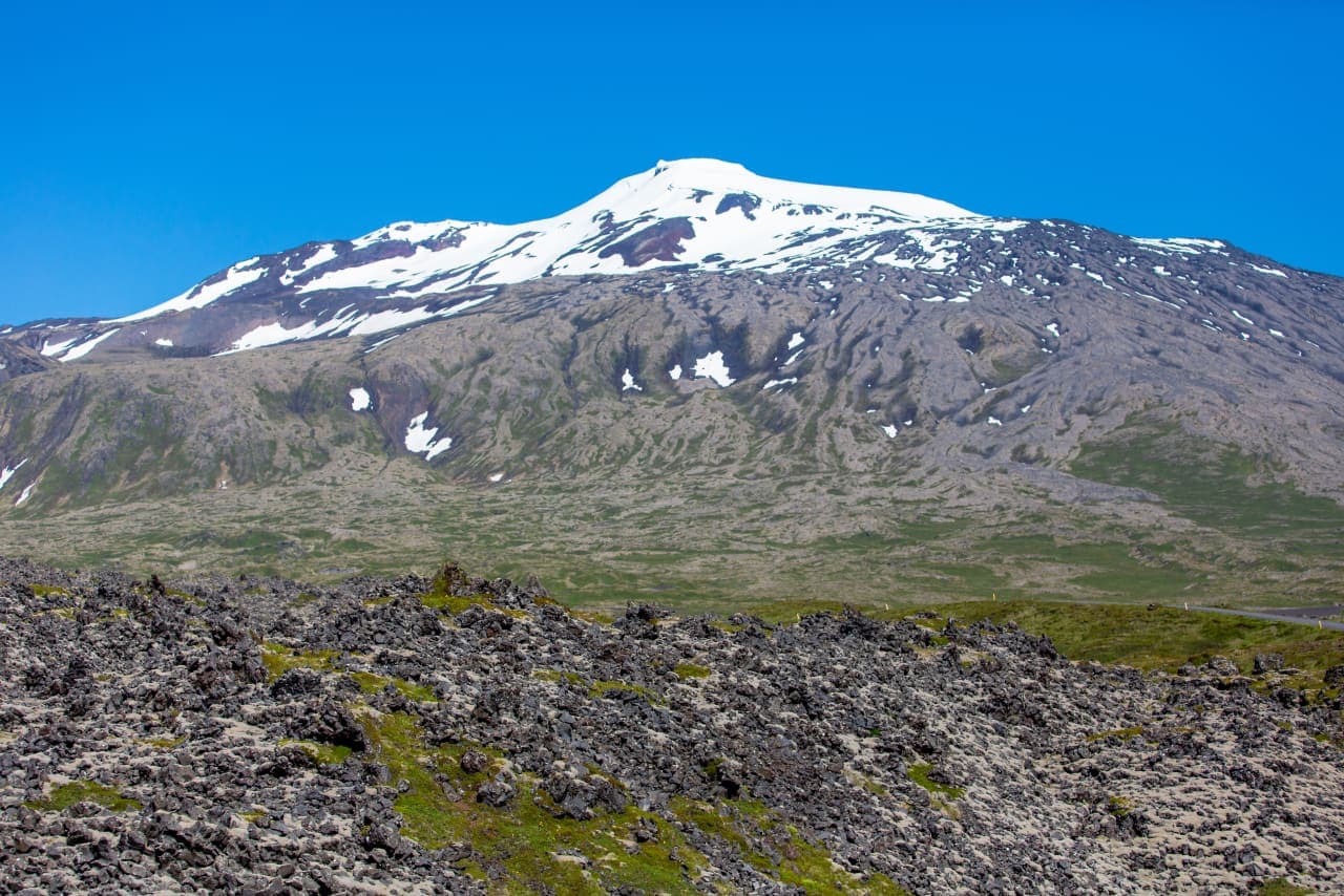
Snæfellsjökull is a 1,446-metre glacier-capped volcano and the defining landmark of western Snæfellsnes. Most people experience it from the national park coast and surrounding roads; going onto the glacier is a separate, guided undertaking.
Next step
Use the next page that helps turn this stop into a practical route decision.