Hljóðaklettar is a basalt-rock walking area in Jökulsárgljúfur, worth planning when North Iceland time allows a slower canyon stop beyond Dettifoss and Ásbyrgi, with enough flexibility for conditions and nearby route choices.
Geology snapshot
Type
Basalt formations, canyon landscape, and marked hiking area
Region
North Iceland, inside the Jökulsárgljúfur area of Vatnajökull National Park
Route context
Diamond Circle-style stop between Dettifoss, Ásbyrgi, Húsavík, and Lake Mývatn
Time to allow
About 30 minutes for the easy V2 trail, 1-1.5 hours for the Hljóðaklettar circle, or 1.5-2 hours for Rauðhólar
Best experience
Walk the marked paths slowly enough to notice the tilted columns, caves, river sound, and echo effect
In this guide
Hljóðaklettar is worth adding when your route already puts you near Dettifoss
Hljóðaklettar is worth adding when your route already puts you near Dettifoss, Ásbyrgi, or Lake Mývatn and you have enough time for a marked walk rather than a quick roadside photo.
The stop is not about one single viewpoint. Its value is in the strange basalt shapes, the sound of Jökulsá á Fjöllum bouncing around the cliffs, and the feeling of walking through a compact volcanic maze. If you only have time to step out of the car for five minutes, Dettifoss or Ásbyrgi will usually give a clearer payoff.
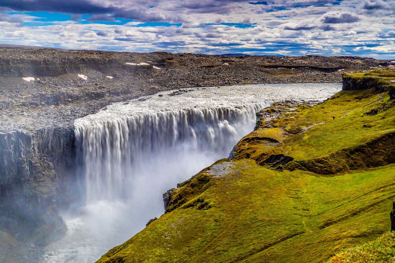
For a Diamond Circle-style day, Hljóðaklettar works as the textural middle stop between the scale of Dettifoss and the enclosed green shape of Ásbyrgi. It also pairs naturally with Dimmuborgir when you want North Iceland's lava formations to feel varied instead of repetitive.
Photo guide
Hljóðaklettar in photos
The marked paths keep visitors close to the formations without crossing protected ground.
What will you see at the Echo Rocks?
You will see basalt columns and crater-plug formations tilted in unusual directions, with caves, arches, cliff faces, and named shapes along the Jökulsá á Fjöllum river corridor.
The official national park description is useful because it explains why the place feels different from a normal basalt wall: the formations reveal solidified magma inside ancient volcanic conduits after looser material was stripped away. On the ground, that translates into columns that lean, twist, stack, and break into honeycomb-like surfaces.
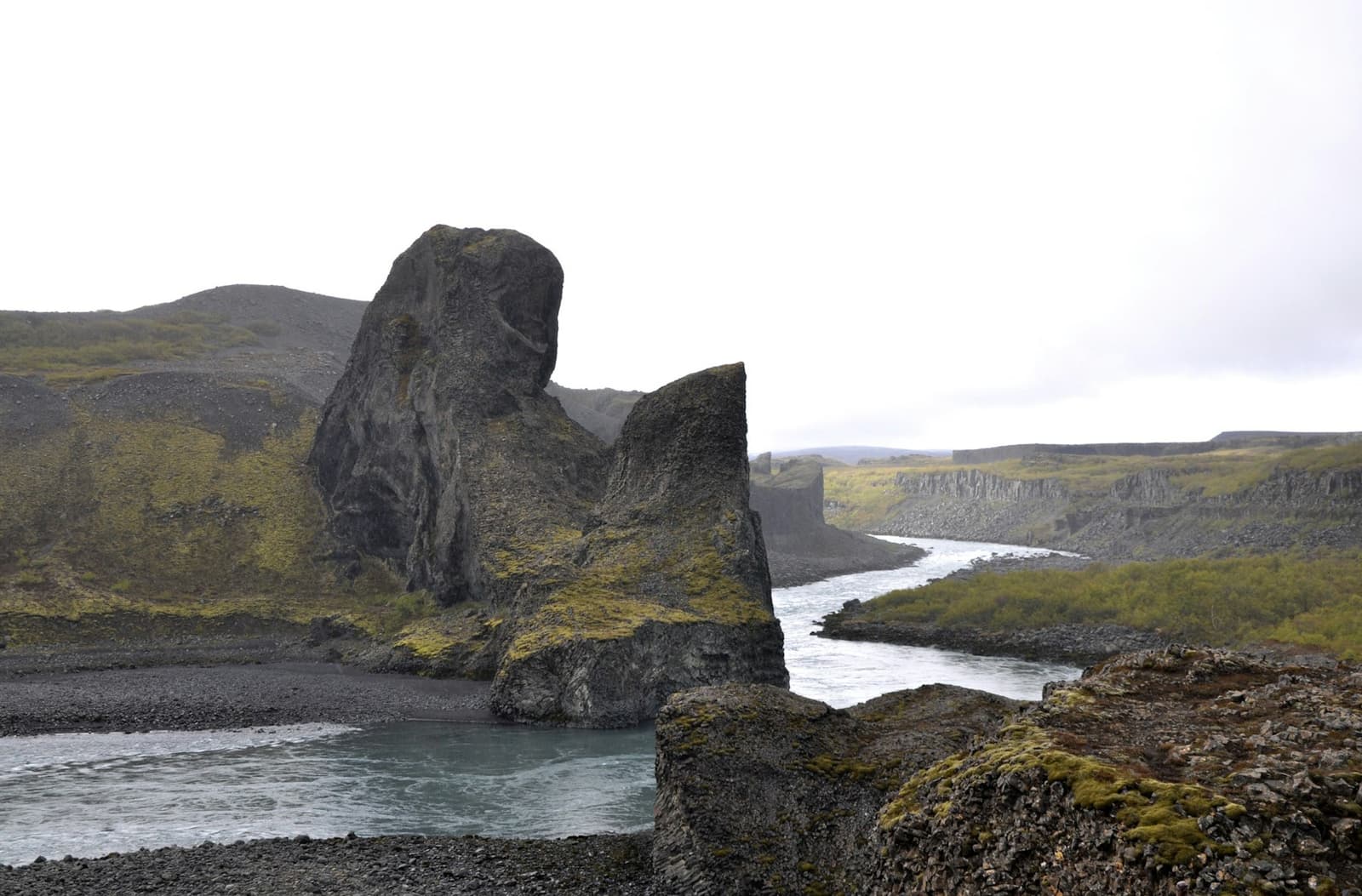
Tröllið shows the scale of the basalt formations better than a quick roadside view can.
Look for named formations such as Tröllið, Kirkjan, and Karl og Kerling, but do not treat the visit like a checklist. The better experience is slower: moving a few steps, watching the column angles change, and listening for how the river sound shifts around the rock walls.
Close basalt textures are part of what makes Hljóðaklettar more than another canyon stop.
Which marked trail should you choose?
Choose V2 if you want a short taste, V3 if Hljóðaklettar is a main stop, and V4 if you have time and conditions for the Rauðhólar extension.
Main Hljóðaklettar trail choices from the official national park trail descriptions.
Trail
Typical time
Best for
Watch for
V2 Hljóðaklettar - Tröllið
About 30 minutes
A short, easier introduction to the echo rocks and basalt shapes
Still stay on the marked path, even near tempting rock edges
V3 Hljóðaklettar circle
About 1-1.5 hours
Travelers who want the full formation area without turning the day into a long hike
More uneven walking and more time commitment than the quick stop
V4 Rauðhólar
About 1.5-2 hours
Red crater scenery and wider views over the canyon area
A more demanding choice that should not be squeezed into a rushed day
V5 Karl og Kerling
About 1 hour
Named cliffs and a quieter extension when time allows
Less useful if your main goal is the compact Echo Rocks loop
Rauðhólar adds color and views, but it asks for more time than the short Echo Rocks walk.
For most first-time visitors, V3 is the best balance if the weather is reasonable and the day is not overloaded. V2 is the practical choice when you are also trying to fit Dettifoss, Ásbyrgi, and a drive back toward Húsavík or Mývatn.
How do you reach Hljóðaklettar, and what can change?
Hljóðaklettar is reached from the Vesturdalur side of Jökulsárgljúfur near Road 862, but current road status, weather, daylight, and path conditions matter more than a fixed drive-time estimate.
The national park places Hljóðaklettar about 15 km south of Ásbyrgi, with access from the parking area at Langavatnshöfði. In summer, it can be a straightforward addition to a North Iceland self-drive day. Outside the easiest season, treat the access as conditional until official road and weather sources agree with your plan.
Check Umferðin for current Road 862 conditions before you leave.
Check the Icelandic Meteorological Office for warnings, wind, precipitation, and visibility.
Use SafeTravel when weather or remote-road conditions make the wider day uncertain.
Stay on marked footpaths; the park specifically warns against walking outside them because vegetation can be damaged.
Hljóðaklettar: the strongest pairings stay within the same North Iceland corridor instead of pulling the day across too many separate areas
The strongest pairings stay within the same North Iceland corridor instead of pulling the day across too many separate areas.
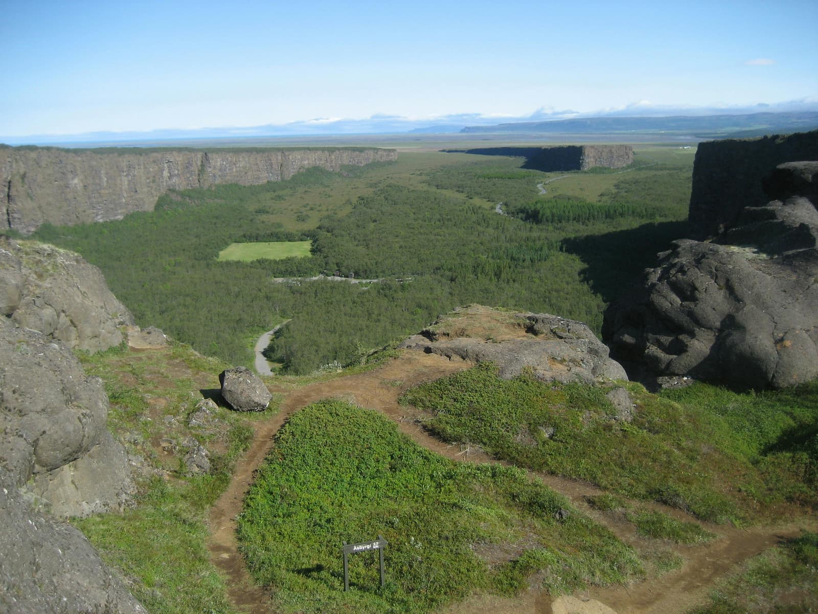
Ásbyrgi is the natural northern pairing because it gives you a larger, greener canyon contrast and easier walking options. Dettifoss is the natural southern pairing because it turns the same Jökulsárgljúfur day toward power and scale. Together, they make Hljóðaklettar feel like part of a canyon story rather than a random rock stop.
Dimmuborgir, Grjótagjá, Hverfjall, and Mývatn can work on the same broader North Iceland segment, but they are easier to enjoy when you are staying near Mývatn or Húsavík. If you are driving from Akureyri and returning the same day, be careful about stacking too many short stops that each need real walking time.
Hljóðaklettar makes most sense as part of the wider Jökulsárgljúfur canyon corridor.
Simple pairing logic
Short canyon day
Ásbyrgi plus Hljóðaklettar, with Dettifoss only if access and daylight are comfortable.
High-impact scenery day
Dettifoss, Hljóðaklettar, and Ásbyrgi, with fewer Mývatn-area add-ons.
Lava-and-basalt day
Hljóðaklettar with Dimmuborgir, Grjótagjá, or Hverfjall when you are already based near Mývatn.
Use for travel safety context when conditions are changing.
Hljóðaklettar FAQ
How long do you need at Hljóðaklettar?
Most visitors need about 30 minutes to 1.5 hours, depending on whether they choose the short V2 trail or the fuller Hljóðaklettar circle. Add more time if you continue to Rauðhólar or stop often for photos.
Can you visit Hljóðaklettar in winter?
Do not assume Hljóðaklettar is practical in winter without checking official road and weather sources first. Visit North Iceland notes Road 862 winter closure context, and conditions can change quickly.
Is Hljóðaklettar good with children?
Hljóðaklettar can work with children who are comfortable staying on marked paths and walking on uneven ground. The short V2 route is the simplest choice, while longer loops need more time and supervision.
Can you walk off the trail to photograph the rocks?
No, you should stay on marked paths at Hljóðaklettar. Vatnajökull National Park states that walking outside marked footpaths is prohibited because vegetation can be damaged.
Map
See where this stop sits
Use nearby places and useful bases before opening directions.
Region
North Iceland
Works well with
Diamond Circle
Useful base
Húsavík
Interactive planning map for Hljóðaklettar
Interactive map
Load the map when you need it
Place context and external map links remain available without loading it.
Routes and itineraries
Place it in a realistic trip
Compare road trips and itineraries that give this place a sensible position in the wider journey.