Aldeyjarfoss is a basalt-framed waterfall near the northern edge of Sprengisandur in North Iceland, worth the detour when F26 access, vehicle rules, daylight, and route time all line up.
Quick guide
Type
Remote basalt-column waterfall on the Skjálfandafljót river
Region
North Iceland, in upper Bárðardalur near the northern end of Sprengisandur
Route context
Best treated as a deliberate detour from the Goðafoss, Mývatn, or Diamond Circle area
Road access
Road 842 leads toward the falls, then the final approach involves F26 highland-road conditions
Time to allow
About 2-3 hours from the Goðafoss area including the out-and-back drive and viewpoint time
Best experience
Summer or settled early-autumn conditions with enough daylight to drive slowly and walk carefully near the viewpoint
Safety note
Check Umferðin, weather warnings, and rental-car F-road permissions before committing to the final approach
Nearby pairings
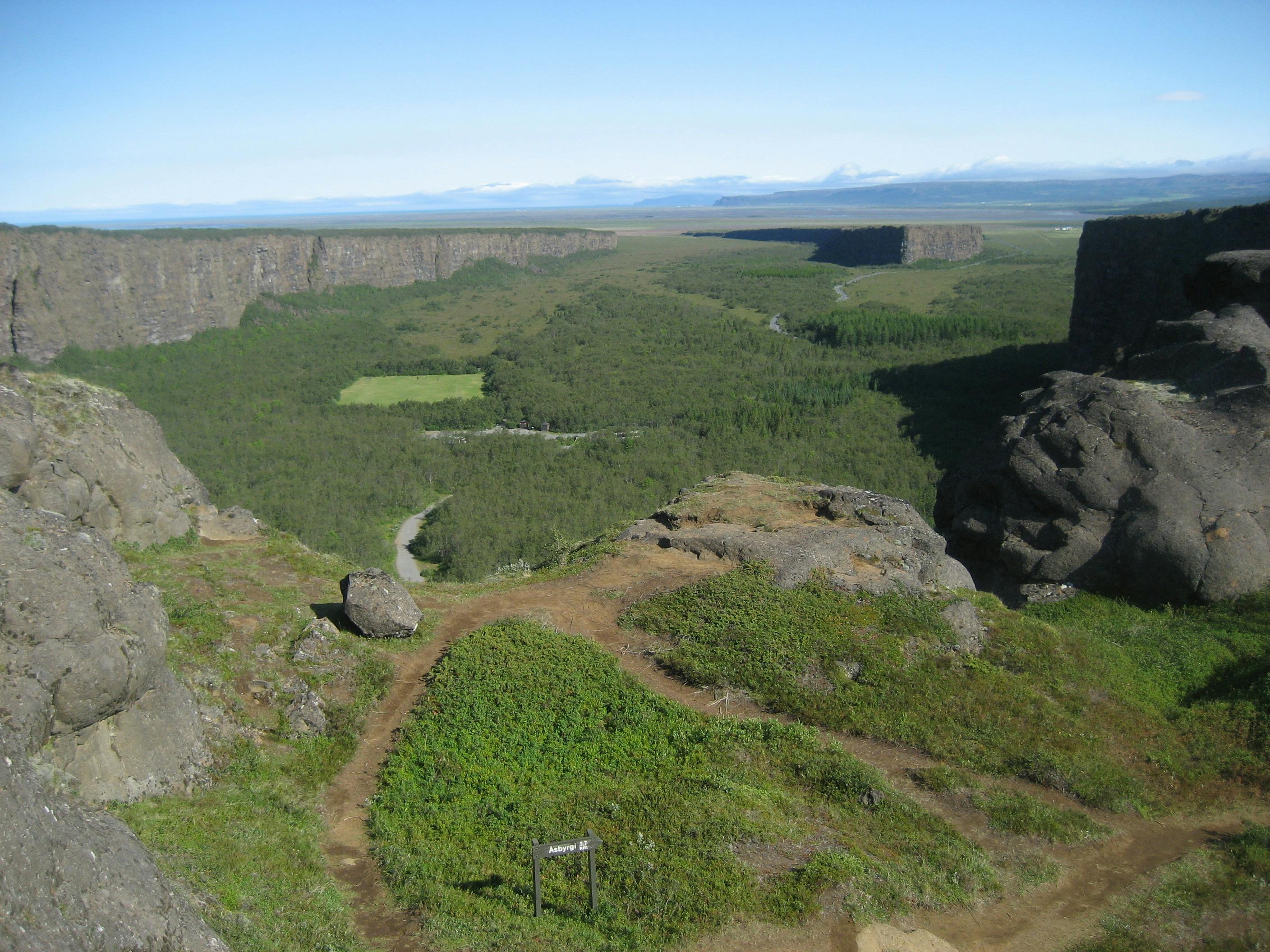
Goðafoss, Mývatn, Dettifoss, Ásbyrgi, Húsavík, and the broader North Iceland route
Is Aldeyjarfoss worth the detour from Goðafoss?
Yes, Aldeyjarfoss is worth the detour when you have the right vehicle, open-road conditions, and enough time to drive slowly. Skip it when the day is already built around a long Ring Road transfer.
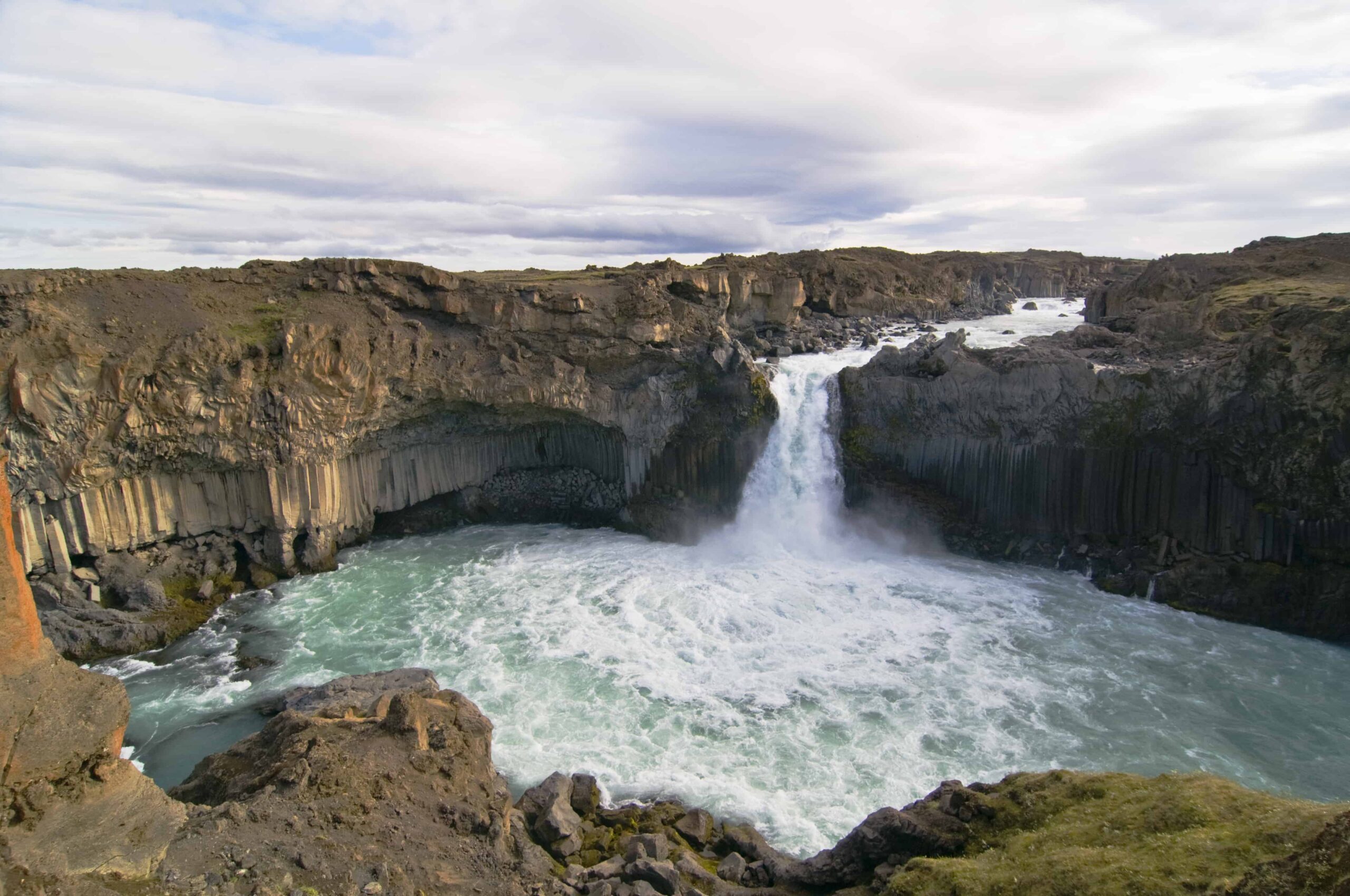
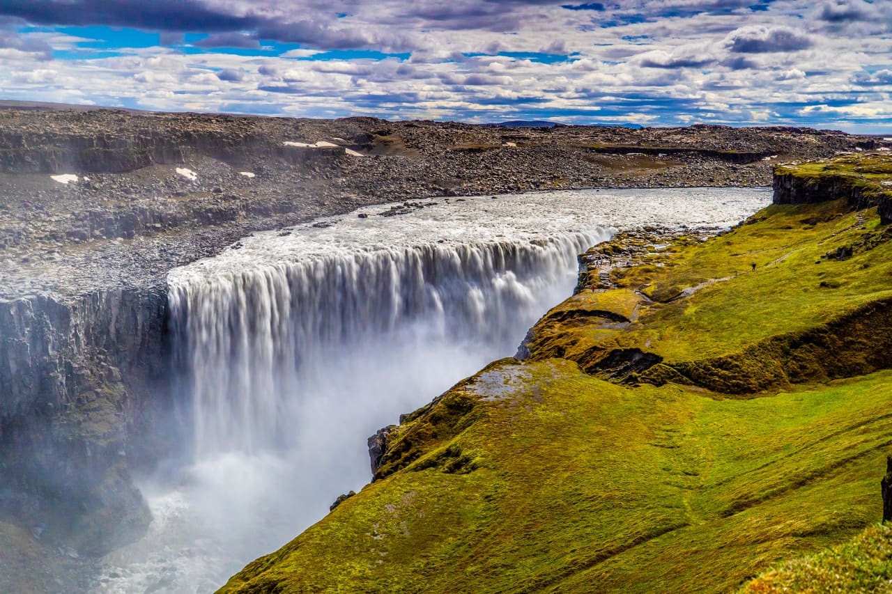
The reward is very specific: a compact but forceful waterfall dropping through dark basalt columns at the edge of the North Iceland highlands. It feels less managed than Goðafoss and less vast than Dettifoss, which is exactly why it appeals to travelers who want one rougher, quieter stop.
A local Iceland travel editor would add Aldeyjarfoss to a summer North Iceland route when the day already has a relaxed Goðafoss, Mývatn, or Húsavík base. The same editor would skip it on a tight point-to-point Ring Road day, in poor visibility, or when the car rental terms do not clearly allow the final road section.
Worth the stop?
When this stop makes sense
Good match for
self-drive travelers with a suitable vehicle and open-road window
waterfall and basalt-column photography
North Iceland routes with time beyond Goðafoss
summer trips that can handle a rougher detour
Think twice if
travelers in normal two-wheel-drive cars once the route becomes F26
tight Ring Road days that cannot absorb a slow out-and-back detour
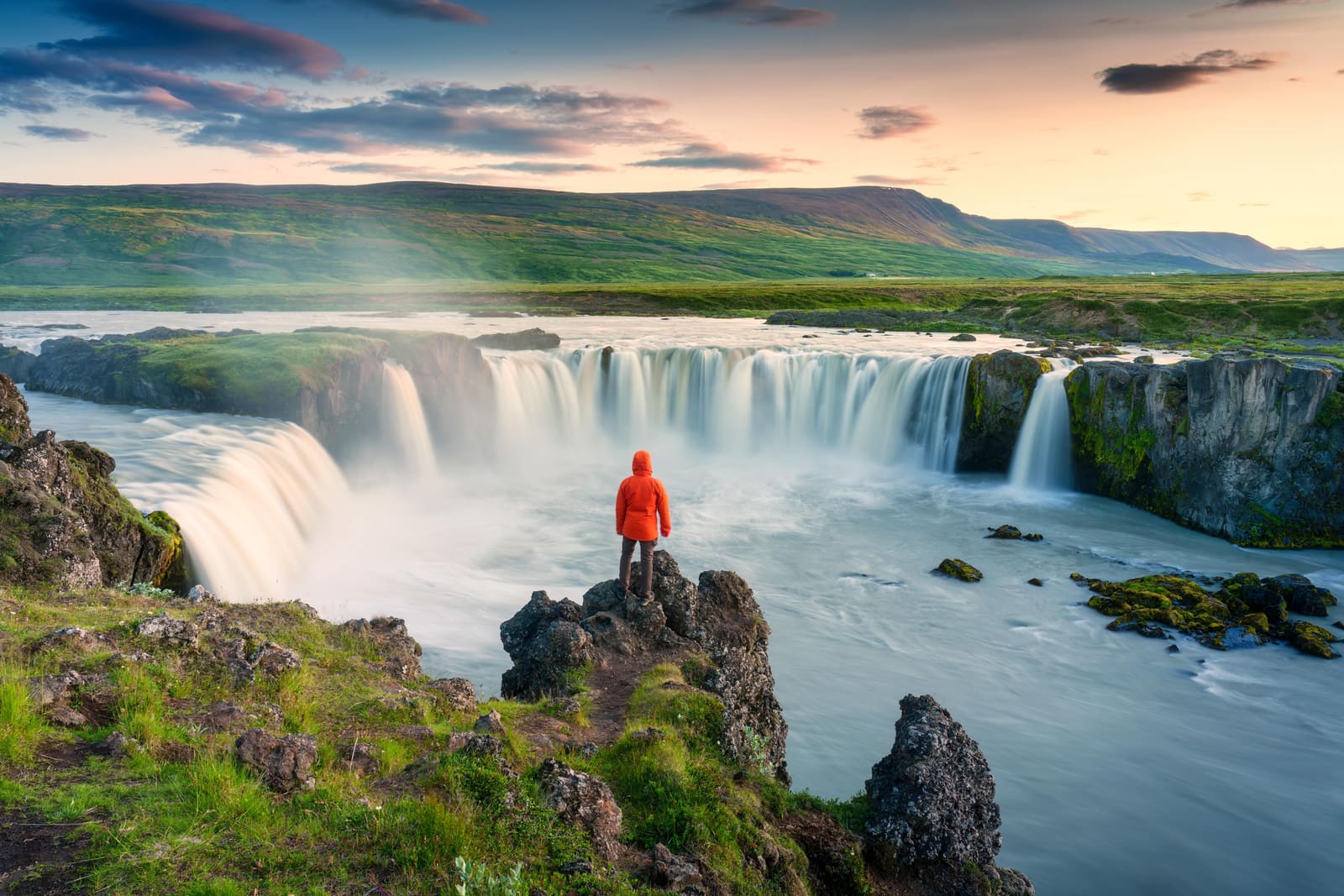
Aldeyjarfoss is more about basalt, enclosure, and effort. Goðafoss is easier and wider; Aldeyjarfoss feels tighter, rougher, and more geological.
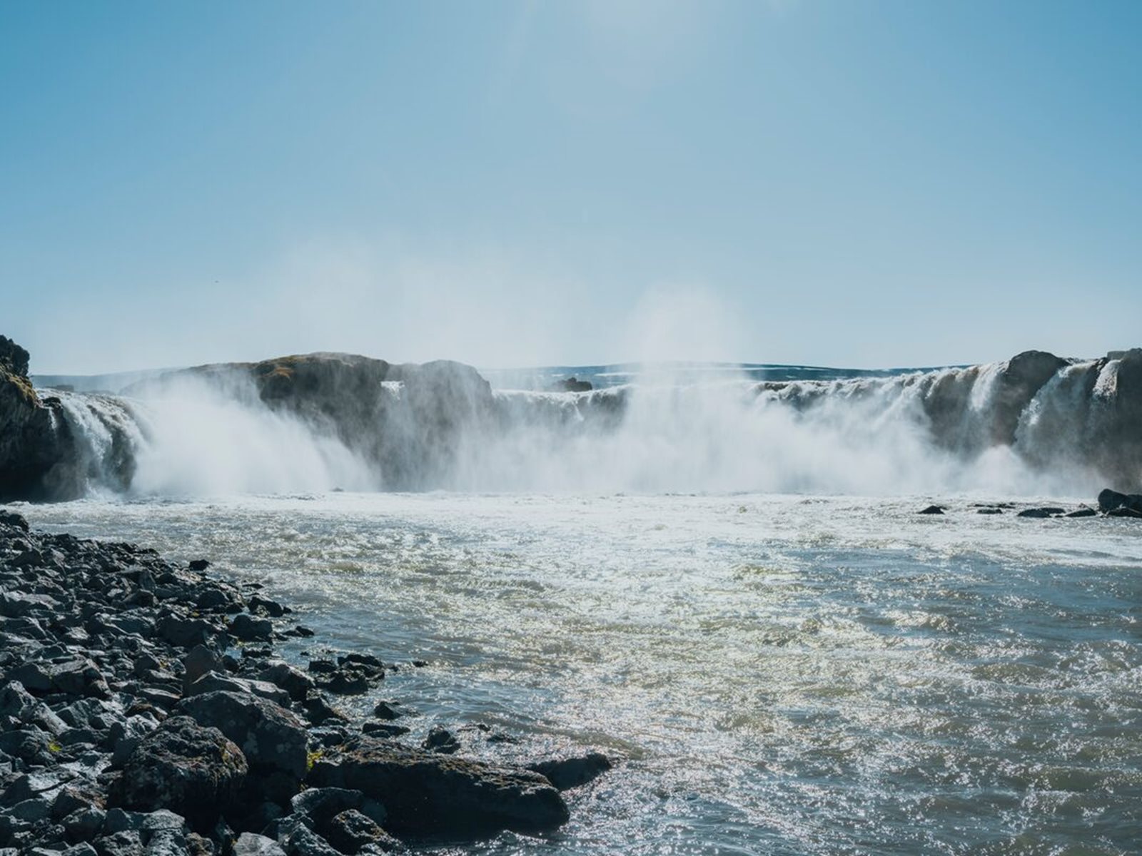
The Skjálfandafljót river drops into a bowl of columnar basalt, with the main fall framed by vertical rock faces and smaller cascades around the edges. The view is not only the waterfall itself; it is the contrast between pale glacial water, black rock, broken lava shelves, and the empty land around the river.
Aldeyjarfoss feels tighter and more enclosed than Goðafoss because the basalt walls sit close to the water.
That difference matters for planning. Goðafoss is the reliable scenic pause on the main road. Aldeyjarfoss is the extra effort stop for travelers who want a more remote waterfall scene and can accept the access tradeoff.
How difficult is the drive to Aldeyjarfoss?
The drive is the main decision. Regional tourism information places Aldeyjarfoss on Road 842 near the Sprengisandur highland route, and the final approach can depend on F26 conditions.
From the Goðafoss area, the route heads south through Bárðardalur on Road 842 before reaching the Highland-edge approach. In good summer conditions it can feel straightforward for prepared self-drive travelers, but it is still a slower rural and gravel-road detour, not a quick paved pullout.
Aldeyjarfoss access decision guide
Situation
Planning decision
Why it matters
Road 842 and the final approach are open, dry, and within your rental terms
Aldeyjarfoss can be a strong half-day detour
You can focus on slow driving, viewpoint time, and pairing it with Goðafoss or Mývatn.
F26 is closed, marginal, or not allowed for your vehicle
Do not force the drive
The waterfall is not worth risking road rules, insurance problems, or a stranded route day.
Wind, snow, heavy rain, or poor visibility is forecast
Keep the stop optional
The payoff depends on safe driving and stable footing near the viewpoint.
You only have a packed transfer day across North Iceland
Choose Goðafoss instead
Aldeyjarfoss adds enough distance and uncertainty to weaken a tight schedule.
Do not let a map estimate make the decision for you. Check Umferðin for current road status, use the Icelandic Met Office for warnings and forecast context, and confirm that your rental vehicle is permitted on the relevant road section.
What does the visit feel like once you arrive?
The visit is short on facilities and strong on atmosphere. Expect open land, rougher ground, river noise, and a viewpoint experience that feels more exposed than the famous easy-access waterfalls.
Most travelers come for the main overlook and the basalt texture around the river. The waterfall is close enough to feel powerful, but the surrounding rock and water edges deserve caution. Stay back from unstable edges, avoid stepping down toward wet rock for a photo, and turn around early if wind or spray makes footing uncertain.
The wider river setting is part of the visit, not just the waterfall drop.
Allow time to look at the rock walls as much as the falls. The best visit is unhurried: park, walk carefully, watch the water from the safe viewing area, and leave before daylight or weather starts working against the drive back.
When is the best season for Aldeyjarfoss?
Summer is the practical season for most travelers. The waterfall can look spectacular in snow, but winter access is a very different problem from admiring a winter photo.
Late June through early September is usually the most realistic window to consider the detour, though the exact road status changes by year and weather. Shoulder-season travelers should be especially conservative because snow, thaw, mud, and closures can change the final approach quickly.
Winter images show why Aldeyjarfoss is memorable, but they do not prove the road is practical for visitors.
If you are planning outside the core summer window, decide from current official sources, not from old trip reports. The safer planning stance is to build your day around Goðafoss, Mývatn, or Húsavík, then add Aldeyjarfoss only when the route checks out.
How should you pair Aldeyjarfoss with North Iceland stops?
Pair Aldeyjarfoss with nearby route anchors, not with a long list of small extras. It works best as the one deliberate detour in a North Iceland driving day.
The cleanest pairing is Goðafoss plus Aldeyjarfoss: one accessible waterfall on the main route and one more remote waterfall deeper into Bárðardalur. If you are based around Mývatn, Aldeyjarfoss can become a half-day side trip when the rest of the day stays light.
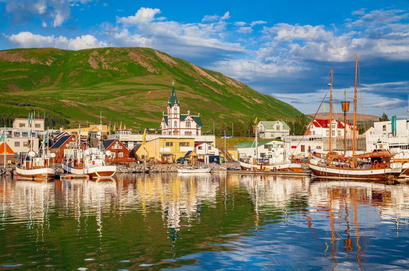
For a larger north-coast plan, compare the detour against Dettifoss, Ásbyrgi, and Húsavík. Dettifoss and Ásbyrgi make a stronger canyon-and-power day; Húsavík changes the rhythm toward harbor services and whale-watching; Aldeyjarfoss adds rougher access and basalt drama.
The basalt detail is the reason Aldeyjarfoss should not be rushed as a quick checklist stop.
What should you check before committing?
Check the live road, weather, and safety sources before you commit the detour to the day. The page can help you decide whether Aldeyjarfoss belongs in the plan; it cannot confirm conditions for your exact departure time.
Use current official sources for anything that can change: road status, weather warnings, daylight, and travel alerts. If those checks are unclear, the practical choice is to keep the North Iceland day simpler and spend the saved time around Goðafoss or Mývatn.
Official weather forecasts and warnings for exposed rural and Highland-edge travel.
Common questions about Aldeyjarfoss
Most uncertainty around Aldeyjarfoss is about access, vehicle choice, timing, and whether the detour beats easier North Iceland stops.
Do you need a 4x4 for Aldeyjarfoss?
You should plan as if the final F26 approach requires a suitable 4x4 and rental permission. Road 842 gets you toward the area, but current road status and vehicle rules decide whether the last section is appropriate.
Can you visit Aldeyjarfoss in winter?
For most travelers, Aldeyjarfoss is not a normal winter stop. Snow, closures, darkness, and rough access can make the detour unrealistic even when winter photos look appealing.
How long should you allow for Aldeyjarfoss?
Allow about 2-3 hours from the Goðafoss area for the out-and-back drive, parking, walking, and viewing time. Add more margin if road conditions are rough or you are photographing carefully.
Should you choose Aldeyjarfoss or Dettifoss?
Choose Dettifoss if you want the stronger canyon-and-power anchor. Choose Aldeyjarfoss if the road is suitable and you specifically want basalt columns, fewer people, and a rougher Highland-edge feel.
Map
See where this stop sits
Use nearby places and useful bases before opening directions.
Region
North Iceland
Works well with
Diamond Circle / Highlands routes
Useful base
Akureyri
Interactive planning map for Aldeyjarfoss
Aldeyjarfoss
Keep exploring
Put this place in route context
Use nearby places and planning pages to decide whether this stop strengthens the route or stays optional.