Quick guide
- Type
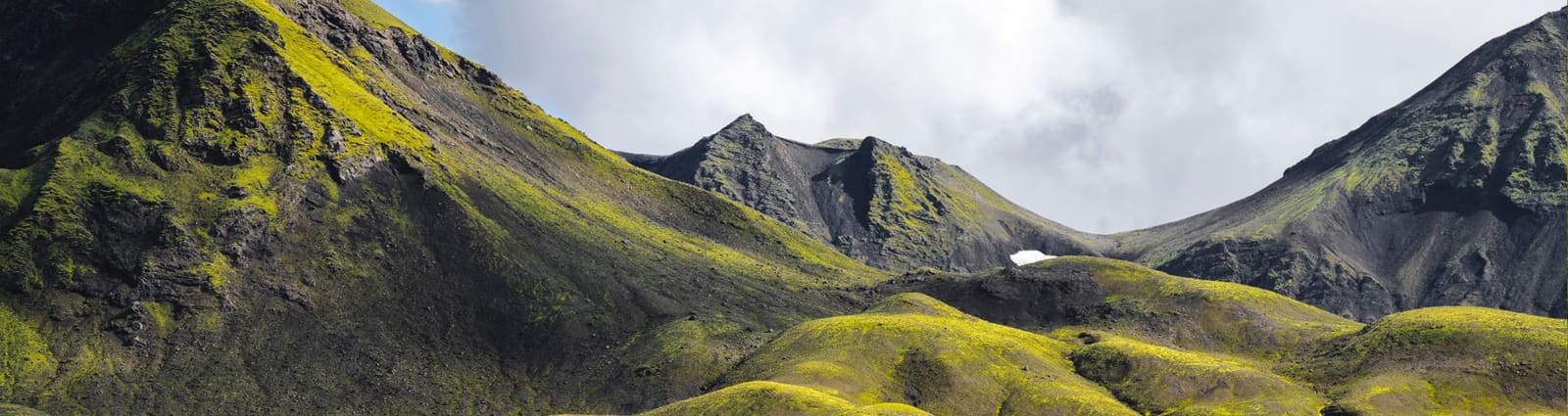
- Remote outlet glacier of Vatnajökull
- Region
- Northeastern Vatnajökull and the Highlands
- Route context
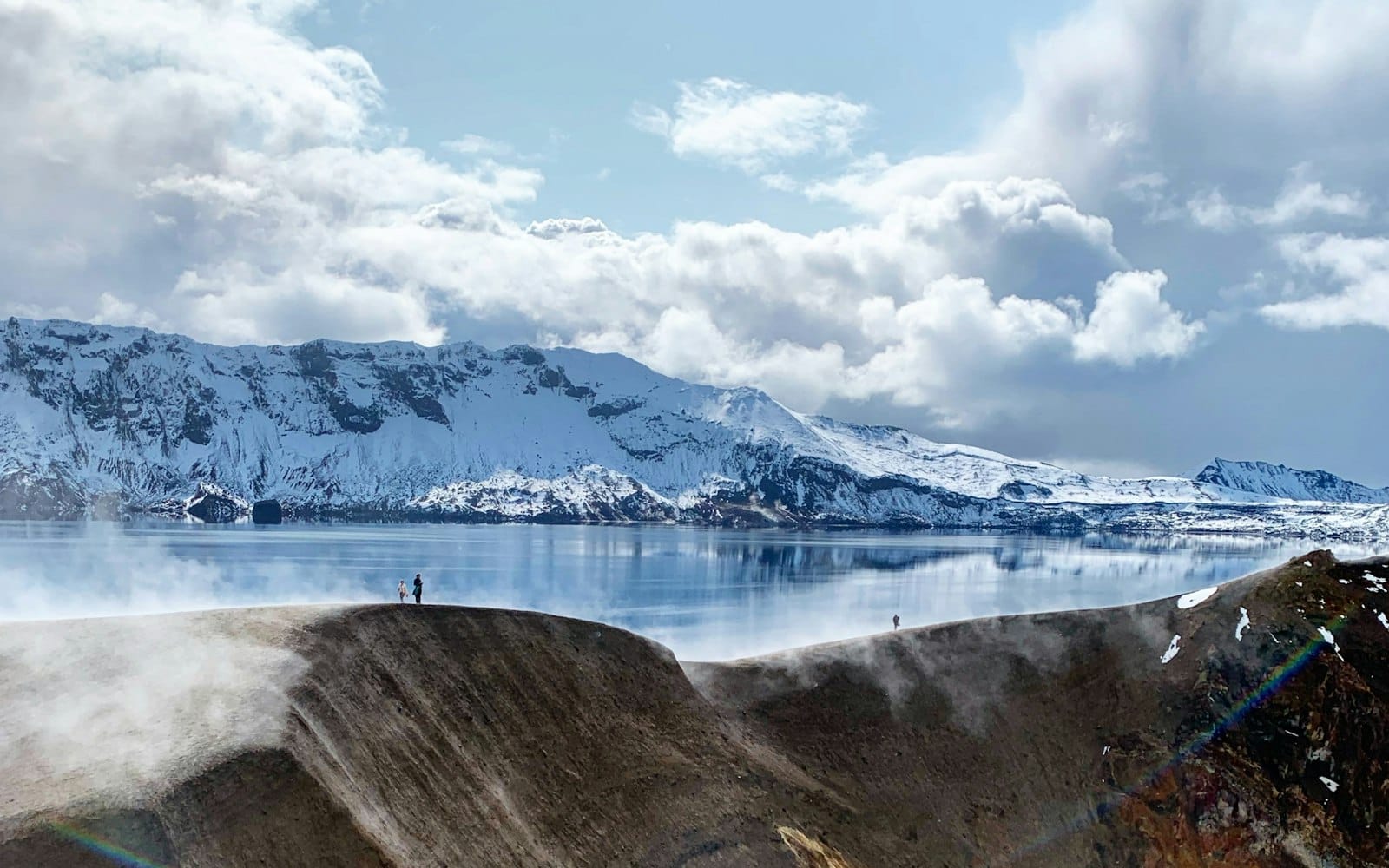
- Best considered with Snæfell, Kverkfjöll, Askja, or other Highlands F-road plans
- Typical visit style
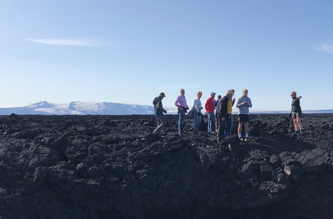
- Viewpoint or specialist-access context, not a simple roadside glacier stop
- Time to allow
- A viewpoint stop can be short; building the glacier into a highland day needs generous margin
- Main checks
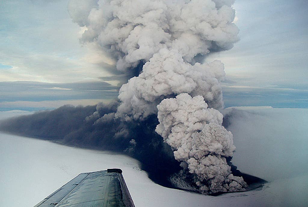
- Official road conditions, weather guidance, SafeTravel alerts, and National Park visitor details
- Main caution
- Glacier margins, snow, mud, river-fed terrain, and remote roads can change the plan quickly