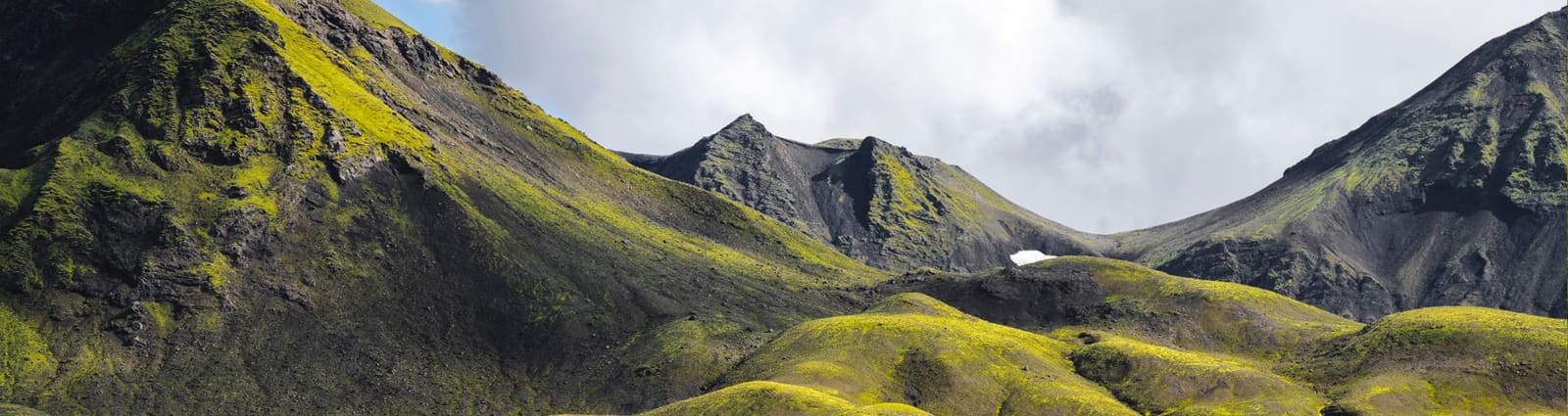
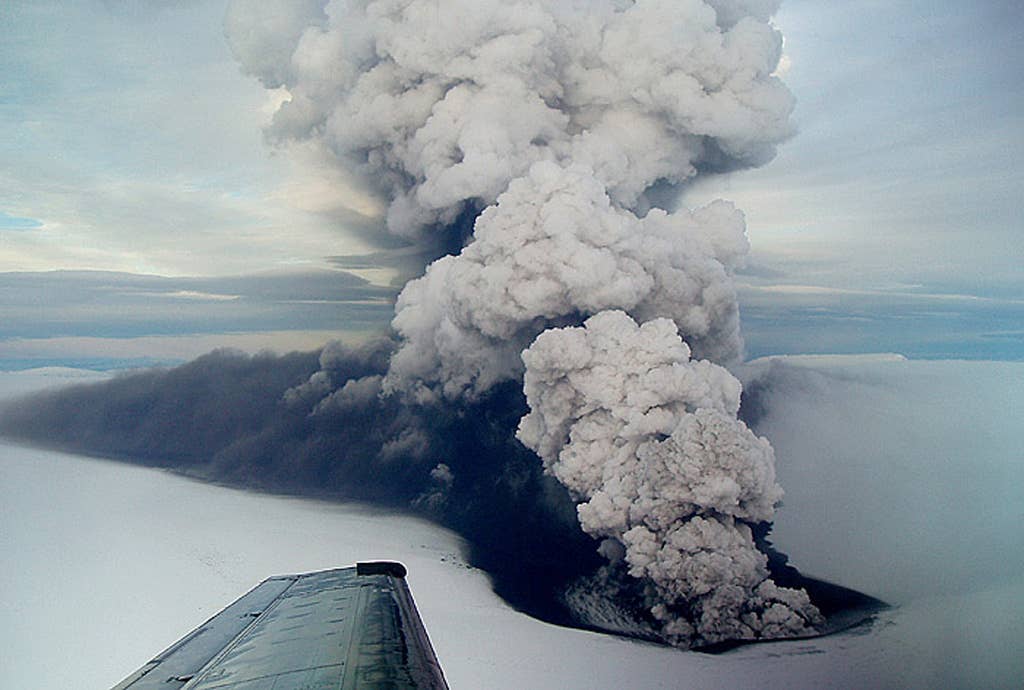
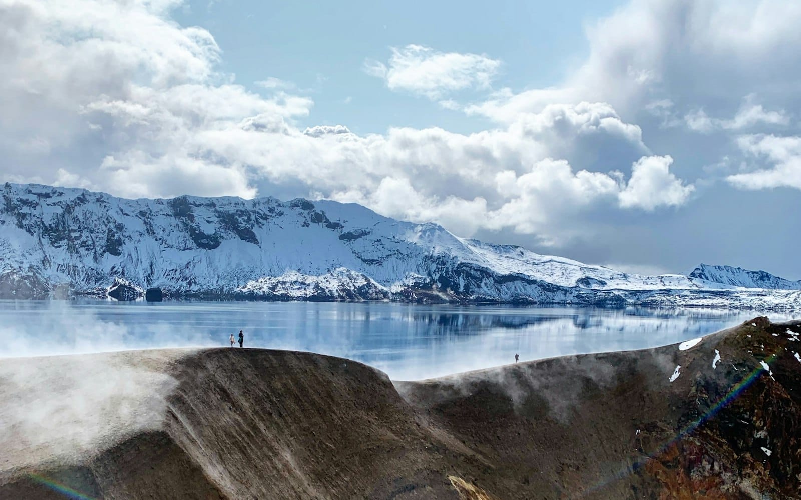
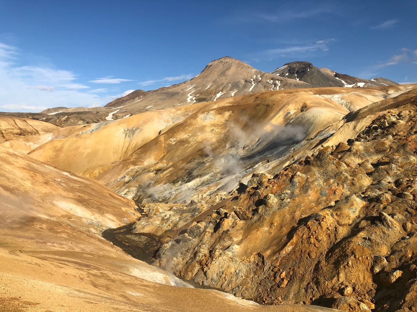
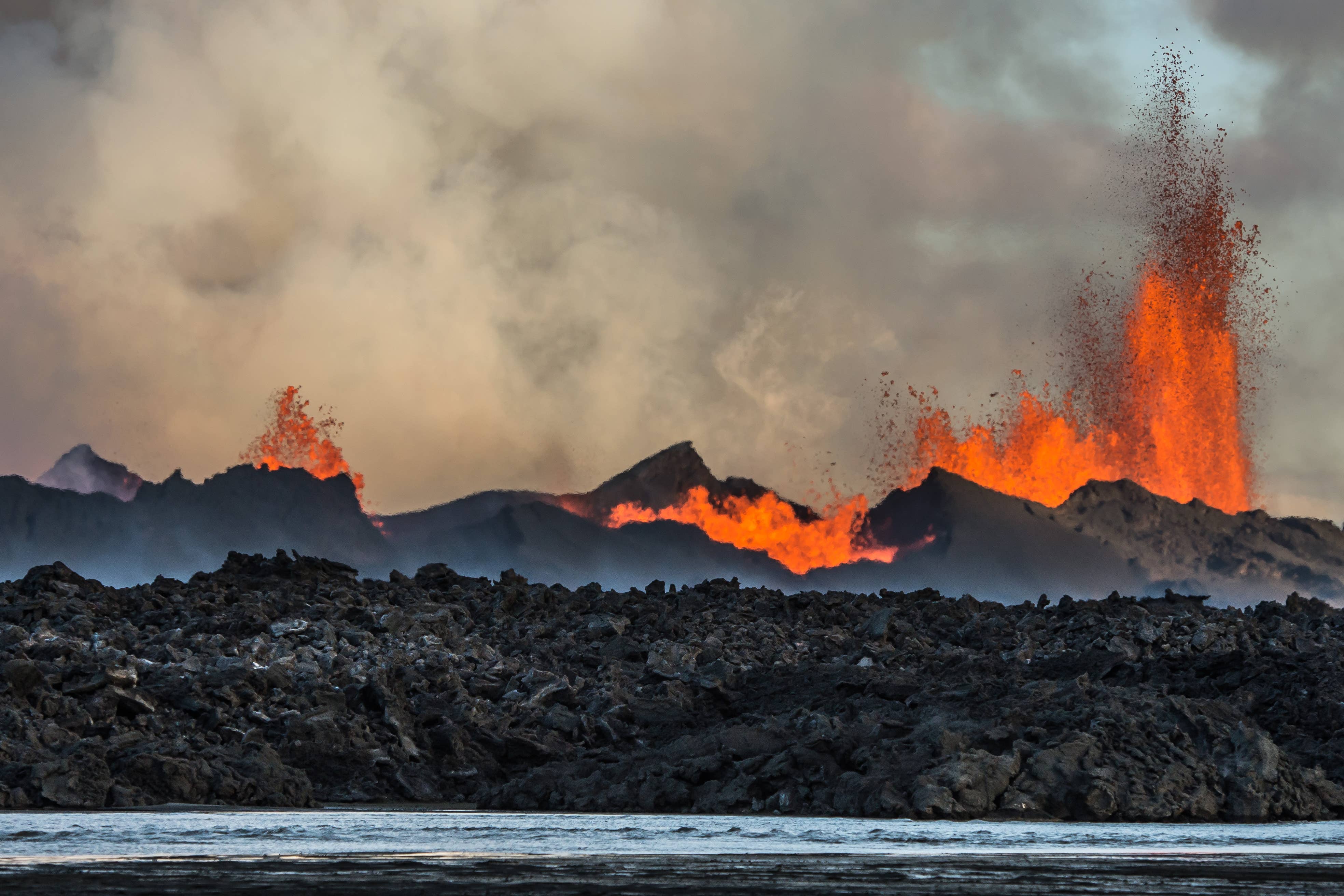
Is Bárðarbunga worth adding to a trip?

Bárðarbunga is worth understanding, but it is rarely worth adding as a normal sightseeing stop. Its value is volcanic scale, Vatnajökull context, and Holuhraun history, not easy access.

The volcano sits beneath northwestern Vatnajökull, so most travelers do not get a neat viewpoint, car park, or short marked walk to the summit. The useful decision is whether this part of the Highlands belongs in a specialist plan, or whether the same trip would be stronger with a more visible volcanic stop such as Askja, Grímsvötn, or Landmannalaugar.

A local Iceland travel editor would add Bárðarbunga only for geology-focused travelers with a serious reason to understand Vatnajökull volcanism, Holuhraun, and remote interior access. They would skip it for first trips, tight Ring Road plans, and any group that mainly wants scenery from a reliable roadside stop.

Worth the stop?

When this stop makes sense

Good match for

  • travelers researching Iceland's major volcanoes before choosing a route
  • experienced Highlands travelers using specialist local guidance
  • geology-focused visitors comparing Vatnajökull, Holuhraun, Askja, and Grímsvötn
  • photographers who value volcanic history and remote lava-field context

Think twice if

  • first-time visitors looking for an easy viewpoint or short walk
  • self-drivers without suitable Highlands access plans

Pair it with

HighlandsGrímsvötnAskja CalderaVíti by Askja

What should you decide before planning around it?

Decide whether Bárðarbunga is background knowledge, a specialist objective, or a reason to choose an easier volcanic landscape instead.

Bárðarbunga decision guide
DecisionUse it whenChoose another stop whenCheck before committing
Research interestYou want to understand Vatnajökull, Holuhraun, and Iceland's active volcanic systems.You need a visible stop with simple access and a predictable visit.Use official volcano, park, weather, road, and safety sources for the latest conditions.
Specialist objectiveYou have qualified guidance, suitable transport, and flexible time for glacier or Highlands conditions.The group cannot absorb delays, rough access, or route changes.Confirm legal access, volcanic status, road conditions, weather, and operator guidance.
Practical alternativeYou still want volcanic scale but need a clearer visitor focus.You were treating Bárðarbunga like a normal attraction pin.Compare Askja, Víti by Askja, Grímsvötn, Kerlingarfjöll, or Landmannalaugar.

This is the point to be strict. If the decision table makes the day feel fragile, move the energy into Askja or the Iceland Highlands Road Trip Planning guide instead of forcing a hidden volcano into the route.

The lava-field surface and Vatnajökull backdrop make Bárðarbunga's context more concrete than a map pin.

What does Bárðarbunga actually feel like from a traveler perspective?

For travelers, Bárðarbunga is more of a landscape system than a single view: ice, lava, long distances, volcanic monitoring, and the memory of Holuhraun.

The central volcano is covered by Vatnajökull, but its influence becomes visible through nearby lava fields, glacier margins, highland tracks, and the Holuhraun eruption story. That makes the page useful even when you never stand on Bárðarbunga itself.

Holuhraun gives travelers the clearest on-the-ground sense of the volcanic landscape linked to Bárðarbunga.

The experience is stark rather than comfortable. Expect dark lava, pale glacier views, open wind, slow travel, and a constant sense that weather, roads, and safety information matter more than a fixed sightseeing checklist.

How do Holuhraun and Vatnajökull change the visit?

Holuhraun gives the volcano a visible story; Vatnajökull explains why the core of Bárðarbunga is not a casual place to approach.

The Holuhraun lava field is the most traveler-readable part of the recent Bárðarbunga story. It shows how a subglacial volcano can express itself away from the ice through a fissure eruption, lava, gas, and major access controls.

Historic Holuhraun eruption images explain the attraction's volcanic identity, but they are not access guidance.

Vatnajökull adds the other half of the decision. Ice cover, hidden caldera terrain, jökulhlaup potential, weather exposure, and remote rescue realities mean that any serious approach belongs in the specialist category, not in a self-drive sightseeing list.

Science and monitoring context are part of why this area should be planned conservatively.

Which nearby places are better route anchors?

Most travelers should use Bárðarbunga as context, then choose a more practical anchor for the actual driving day.

Askja is the clearest comparison because it has a stronger visitor focus, visible caldera scenery, and established highland route planning. Víti by Askja narrows that even further if you are choosing one volcanic lake or crater moment.

Grímsvötn is the closest conceptual comparison: another Vatnajökull subglacial volcano where the page is more useful for understanding scale and safety than for casual sightseeing. Kerlingarfjöll and Landmannalaugar are better choices when you want dramatic Highlands scenery with a clearer visitor rhythm.

  • Choose Askja when you want one serious volcanic Highlands day with a clearer destination.
  • Choose Grímsvötn when the interest is Vatnajökull's hidden volcanoes and glacier-volcano hazards.
  • Choose Kerlingarfjöll when geothermal mountains and hiking access are the main goal.
  • Choose Landmannalaugar when colorful rhyolite, lava, and a more established Highlands visitor pattern fit better.
  • Choose Þjórsárver or Þórsmörk only if they fit your wider interior plan and official access checks.

What should you check before relying on a plan?

Use official sources to decide access, not old photos, social posts, or a map pin. This is editorial planning guidance, not live safety confirmation.

Check the Icelandic Meteorological Office for weather, warnings, earthquakes, and volcanic information. Check SafeTravel for travel conditions and alerts. Check official road information before any Highlands driving, and use national-park or operator guidance for protected-area behavior.

If you are booking a specialist trip, verify what is actually included: transport type, cancellation handling, weather decisions, glacier or highland qualification, and how the operator responds if volcanic or road conditions change.

Official checks for Bárðarbunga planning

Common questions about Bárðarbunga

Can you visit Bárðarbunga on a normal self-drive trip?

Usually no, not in the way travelers visit roadside attractions. Treat it as remote Vatnajökull and Highlands context unless qualified local guidance, legal access, weather, road, and safety checks all support a serious plan.

Is Holuhraun the same as Bárðarbunga?

No. Holuhraun is the lava-field area that gives many travelers the clearest visible connection to Bárðarbunga's volcanic system, while Bárðarbunga itself lies beneath Vatnajökull.

What is a better alternative for most travelers?

Askja is usually a better volcanic Highlands objective for prepared summer travelers. Kerlingarfjöll or Landmannalaugar can be better when the goal is dramatic scenery with a clearer visitor rhythm.

Do eruption photos mean the area is easy to access?

No. Eruption photos show the volcanic identity, not visitor access. Use official volcanic, road, weather, safety, and protected-area sources before relying on any plan.