Is Holuhraun worth the detour?
Yes, Holuhraun is worth the detour for the right Highlands trip. It is not worth forcing into a normal first-time Iceland route, because the reward is raw volcanic land and the cost is access friction.
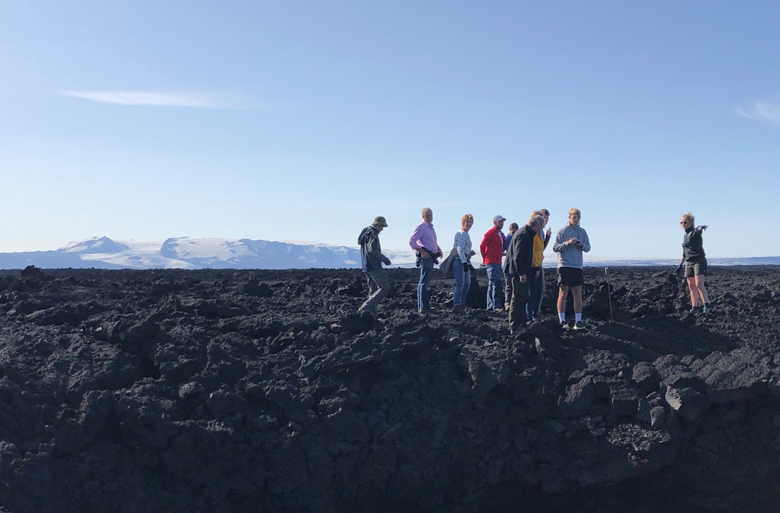
The best reason to come is to stand beside one of Iceland's youngest major lava landscapes and feel how abrupt the interior can be: black broken lava, pale distant ice, open sky, and almost no soft edges. Holuhraun is place-specific, but it is not polished.
Local editorial judgement: add Holuhraun when your day already belongs to Askja, Víti by Askja, or the north Highlands. Skip it when your trip needs easy access, a predictable short stop, or a scenic payoff that works without road and weather margin.
Worth the stop?
When this stop makes sense
Good match for
- experienced Highlands self-drivers with a suitable vehicle and flexible timing
- travelers already planning Askja, Víti by Askja, or a wider north Highlands day
- volcano and geology-focused visitors who want to see very young lava in place
- photographers comfortable with stark, rough, exposed landscapes
Think twice if
- first-time visitors who need easy access and predictable roadside stops
- small-car trips or rentals not approved for Highlands F-roads
How do access and conditions shape a visit?
Access and conditions shape almost every Holuhraun decision. The map can make the lava field look like a neat add-on near Askja, but the practical question is whether the road, vehicle, weather, river, and group all support the attempt.
SafeTravel's Highlands guidance is directly relevant here: rough roads, fast-changing conditions, river crossings on some approaches, slow progress, and vehicle suitability are not details to solve after leaving easier services behind. Holuhraun should stay optional until the checks line up.
The National Park's visitor message is equally important once you arrive. Stay on the waymarked Holuhraun trail, respect closures and signs, and treat the lava as a protected surface rather than a playground. The land is young enough that careless walking is not a harmless shortcut.
How much time and effort should you allow?
Allow enough time for a slow Highlands approach, a careful stop, photos, weather judgment, and a clean exit. Holuhraun is usually a substantial detour inside a Highlands day, not a quick punctuation mark between easier attractions.
Holuhraun planning reality check| Plan | When it makes sense | Main caution |
|---|
| Askja-area Highlands day | Your route already has Askja or Víti by Askja as the main objective and the day has spare margin. | Adding Holuhraun after a slow approach can overrun daylight, food, fuel, or group energy. |
|---|
| Dedicated volcanic-landscape stop | You care about young lava, Bárðarbunga context, and the feeling of the central Highlands. | The scenery is stark rather than varied, so the stop can disappoint travelers expecting a classic viewpoint. |
|---|
| Flexible guided or specialist plan | You want the volcanic context without making every access decision yourself. | Confirm that the plan adapts to road, weather, and visitor guidance rather than treating the stop as fixed. |
|---|
If Holuhraun is the weakest part of the day, cut it first. The stop is best when it deepens a Highlands route, not when it makes a strong Askja plan brittle.
What should you pair with Holuhraun?
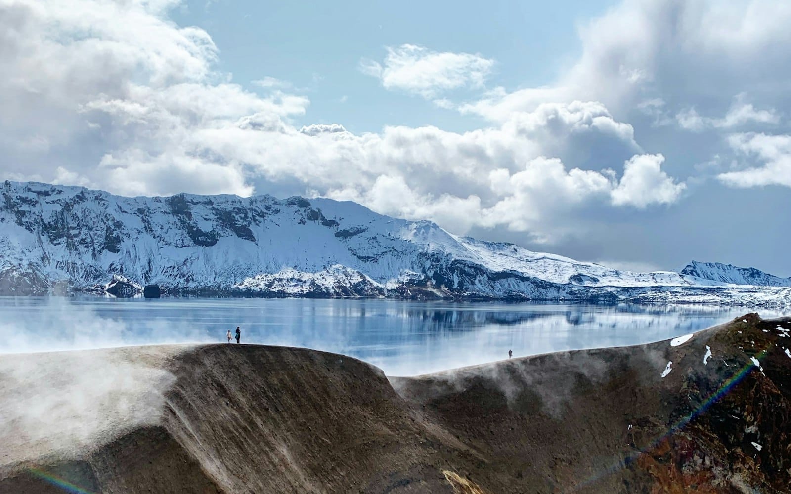
Pair Holuhraun with nearby volcanic and Highlands context, not with an already crowded sightseeing list. Askja and Víti by Askja are the natural planning anchors because they explain why you are this deep in the interior.
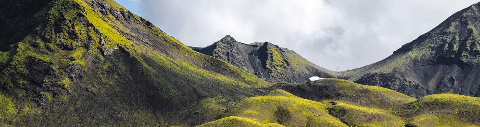
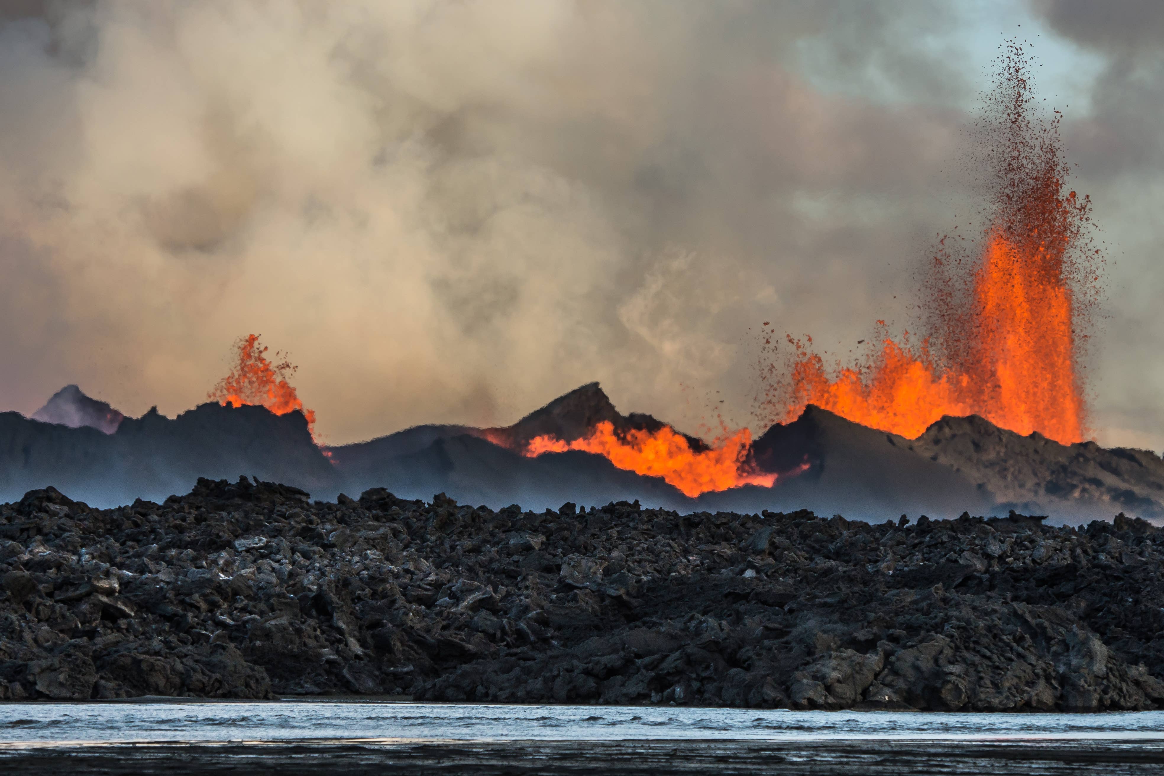
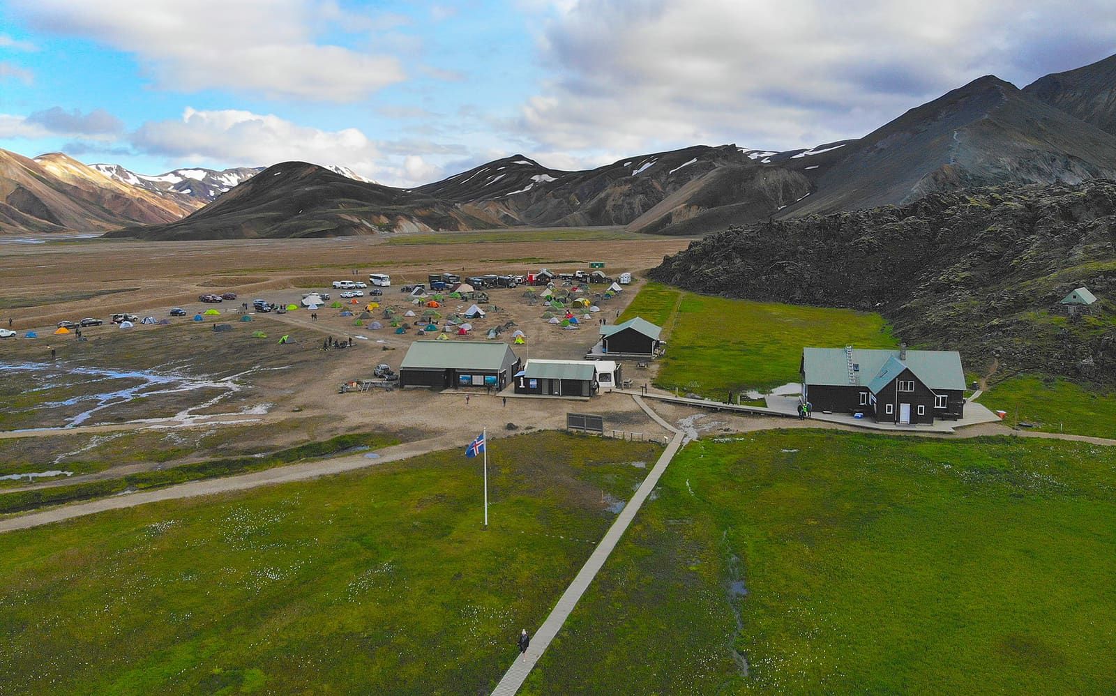
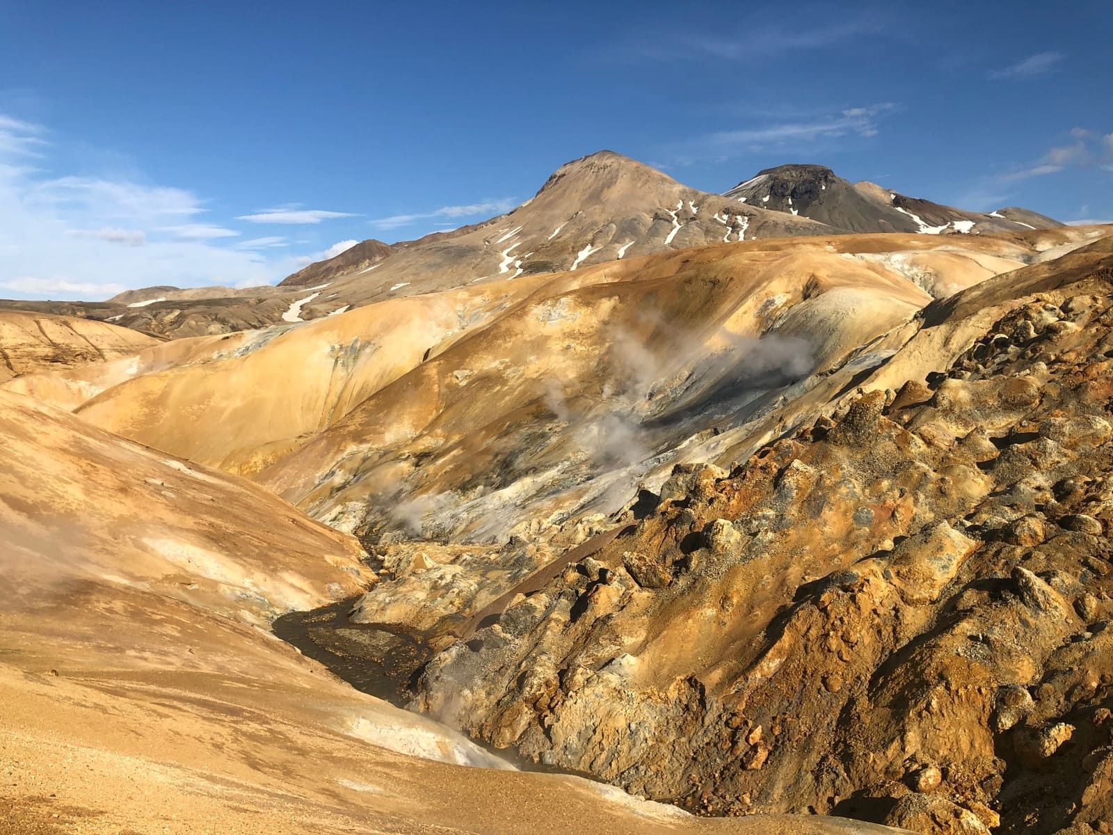
Bárðarbunga gives the eruption story its volcanic backbone, while the Highlands region page helps decide whether this kind of rough interior travel belongs in your trip at all. If you are comparing other highland landscapes, Landmannalaugar, Kerlingarfjöll, and Þórsmörk are usually better-known alternatives with different access and walking rhythms.
Holuhraun is not a substitute for those places. It is more severe, less varied, and more dependent on exact access decisions, but it gives a sharper sense of how new volcanic land sits in the middle of Iceland.
What should you check before committing?
Check official visitor information, road status, weather, SafeTravel alerts, vehicle permission, fuel range, food, water, daylight, and your group's tolerance for slow remote travel before treating Holuhraun as part of the day.
Use Vatnajökull National Park for protected-area and visitor details, Umferðin for road conditions, SafeTravel for Highlands safety guidance, and the Icelandic Meteorological Office for weather and warning context. If any of those checks undermine the plan, choose Askja only, another Highlands stop, or a lower-friction attraction instead.
Official checks before Holuhraun
Use the National Park page for protected-area guidance and waymarked-trail expectations.
The Holuhraun booklet explains fragile lava, safety precautions, and the wider Askja-area context.
Use Umferðin before driving into the Highlands.
Use SafeTravel for F-road and Highlands driving guidance.
Use the Icelandic Meteorological Office for forecasts, warnings, and natural-hazard context.
Common Holuhraun questions
These answers are meant for trip-shape decisions, not for replacing official access, road, weather, or safety checks.
Can you visit Holuhraun on a normal Ring Road trip?
Usually no. Holuhraun belongs to a deliberate Highlands plan near Askja, and most Ring Road trips are better served by easier volcanic or lava-field stops unless the itinerary already has interior-road margin.
Do you need a 4x4 for Holuhraun?
Plan as if Highlands vehicle suitability is essential. Check your rental permission, Umferðin, SafeTravel, weather, and local visitor guidance before assuming the approach is sensible.
Is there active lava at Holuhraun?
No active-lava experience should be expected. Holuhraun's visitor value is the young lava field and eruption context, not a live eruption viewpoint.
Should Holuhraun come before or after Askja?
Askja should usually be the anchor decision. Add Holuhraun only if the day still has road, weather, daylight, and group-energy margin after the main Highlands objective is secure.