Quick guide
- Type
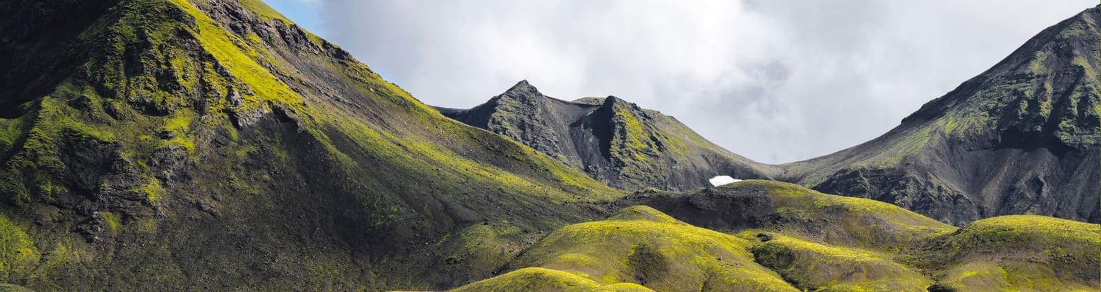
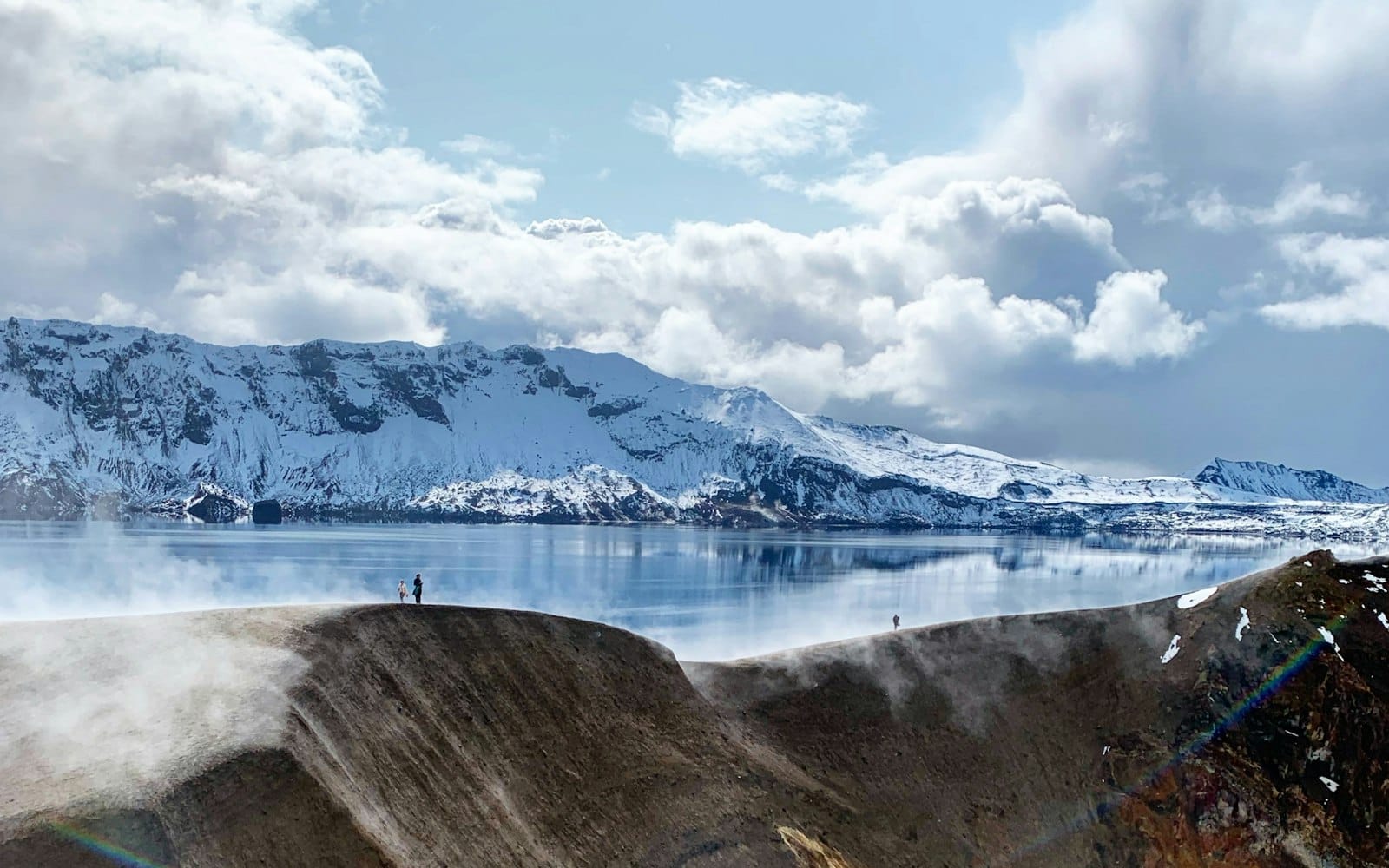
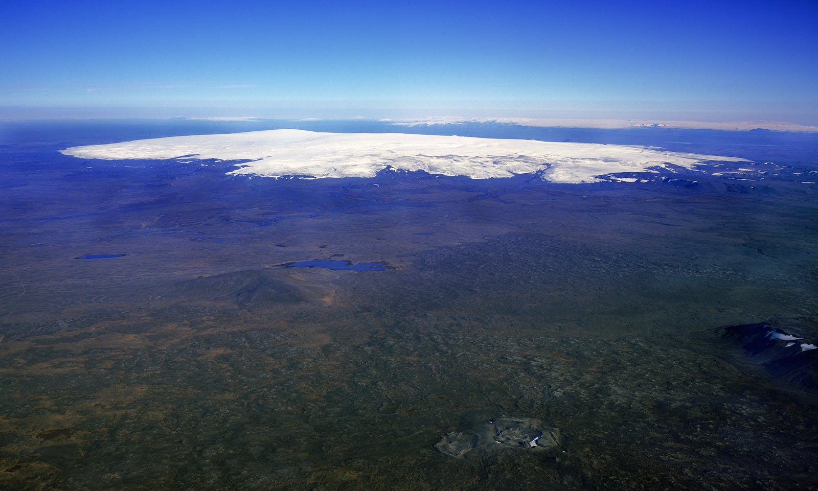
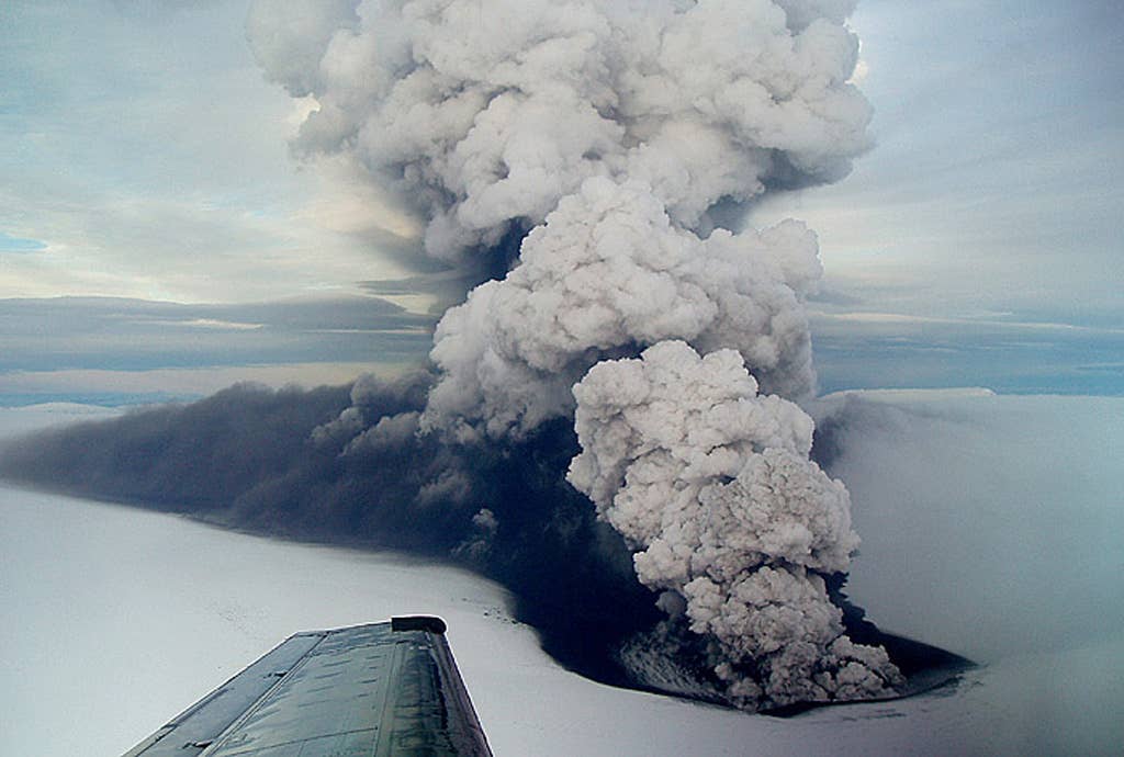
- Subglacial volcanic system, caldera area, glacier landscape, and eruption-history site
- Region
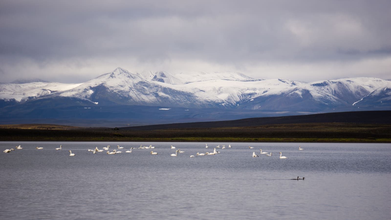
- Western Vatnajökull and Iceland's central Highlands
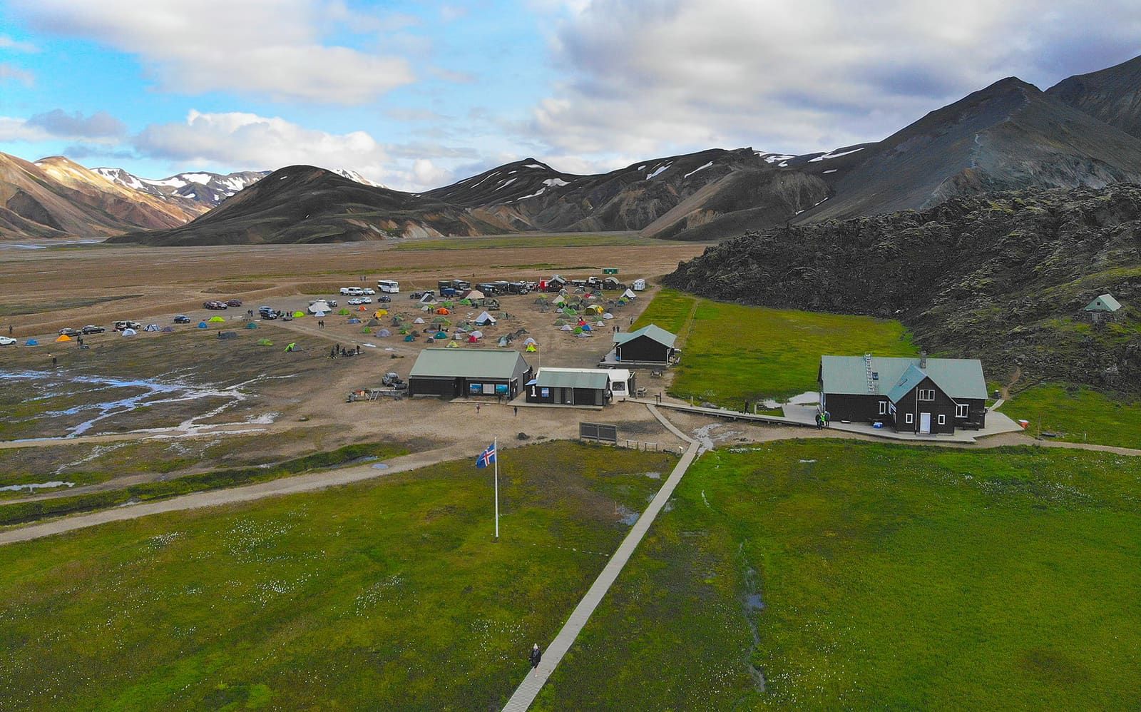
- Route context
- A specialist Vatnajökull or Highlands objective, not a normal Ring Road stop
- Time to allow
- Usually a full-day or expedition-style commitment if a legal, guided, conditions-appropriate visit is possible
- Best experience
- Use it as volcano-and-glacier context, or visit only with qualified local guidance and official condition checks
- Access reality
- Ice, weather, road status, volcanic activity, and protected-area guidance should decide whether any approach makes sense
- Nearby comparisons
- Askja, Víti by Askja, Þjórsárver, Hofsjökull, Lakagígar, Eldgjá, and wider Highlands planning
- Before you go
- Check official volcanic status, SafeTravel, weather, road conditions, and national-park guidance before relying on any plan