
Hike facts
- Distance
- 7 km for the described route
- Ascent and height
- About 500 m of ascent to a 678 m summit
- Walking time
- About 3 hours in suitable conditions
- Trail
- Marked route with grassy lower ground and rough, exposed rock higher up
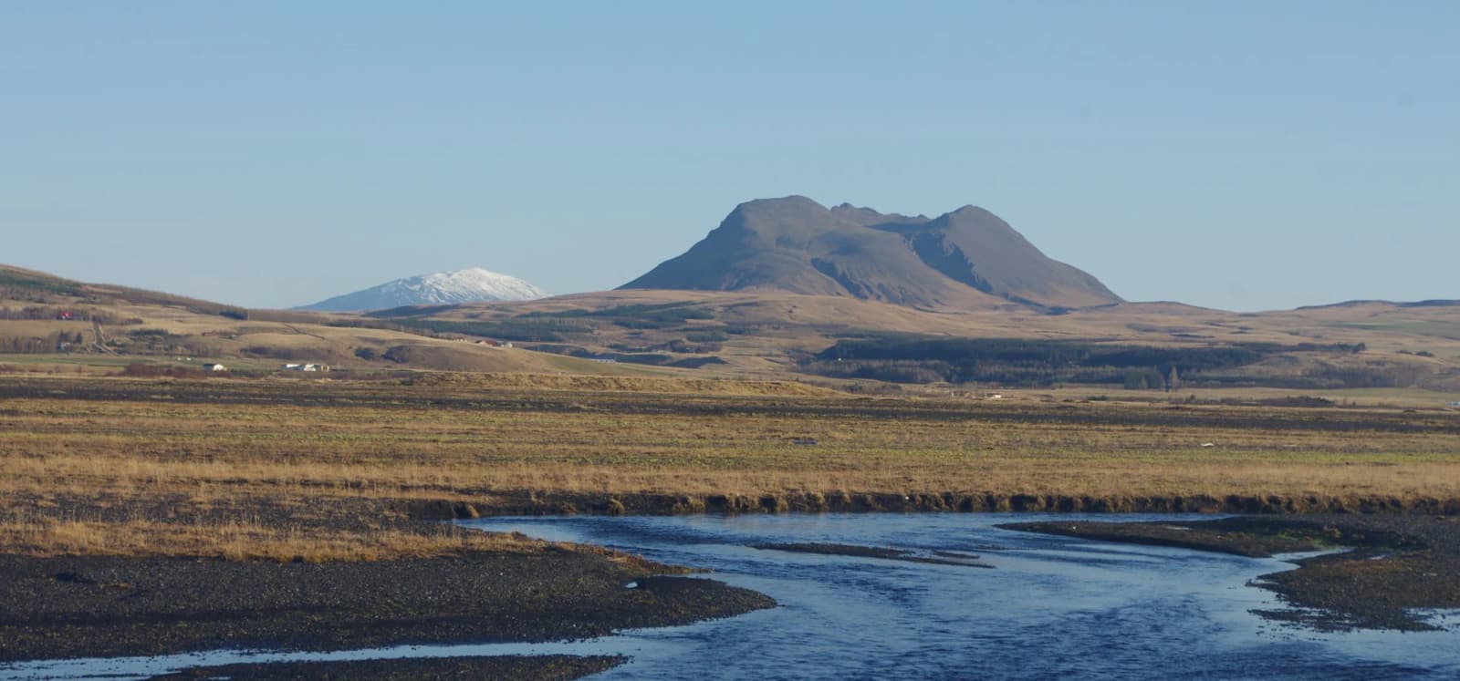
Þríhyrningur is a 678-metre mountain near Hvolsvöllur with a marked 7-kilometre hike, about 500 metres of ascent and wide views across the South Iceland lowlands from its exposed summit. It suits hikers with clear weather and time for rough terrain.
Hike facts
Þríhyrningur rises to 678 metres about 18 kilometres from Hvolsvöllur. Its marked summit hike is a real mountain outing, not a quick scenic stop.
The official municipal route is 7 kilometres with about 500 metres of ascent and a walking time of roughly three hours. The lower approach crosses grassier ground, while the upper mountain is rougher and more exposed. In clear weather, the summit opens over Fljótshlíð and the broad South Iceland lowlands.
The mountain's three peaks give it its name. Between them lies Flosadalur, named for Flosi from Svínafell in Njál's Saga. That connection is visible in the landscape rather than in a visitor centre: this is a hike first, with the saga adding context to the view.
Official distance, ascent, duration, height and approach information.
Mountain identity, marked trails, summit height, landscape and saga context.
Both official sources approach the mountain from road 261 through Tumastaðir and Vatnsdalur toward the Fiská river.
Katla Geopark describes turning right near Fiská onto the grassy foothills and beginning the ascent from a small plateau. Treat that description as orientation, then follow current signs and trail markers on the ground. The approach is more involved than pulling into a signed Ring Road car park, and services are not part of the mountain experience.
The three-hour figure is a useful baseline, not a promise. Pace, stops, visibility and footing can all extend the walk. Carry the layers, water and footwear you would use for an exposed Icelandic hill rather than for a village path.
The reward is a wide view across the farming country and glacial landscape of South Iceland, with fewer visitors than on the main waterfall circuit.
Katla Geopark also identifies the gorges Katrínargil and Tómagil in the mountain. Together with Flosadalur, they make Þríhyrningur more than a distant profile: the upper terrain has distinct valleys, ridges and story associations. Poor cloud can remove much of that context, so visibility materially changes whether the hike is worth doing.
If you want a lower-effort stop in the same part of South Iceland, Seljalandsfoss and Gljúfrabúi are easier to fit around uncertain weather. Fljótshlíð provides the local landscape context without requiring the full climb.
Wind, visibility, wet rock, snow and short daylight can turn this compact route into a poor choice.
Check the Icelandic Met Office forecast and warnings, SafeTravel guidance and current road information before setting out. Turn back if cloud removes the route or view, if wind makes the exposed upper ground uncomfortable, or if the remaining daylight no longer leaves a safe margin.
Current forecasts and weather warnings for South Iceland.
Official preparation advice and current travel alerts.
Current road conditions before using local South Iceland access roads.
By ThorPublished Updated