Quick guide
- Type
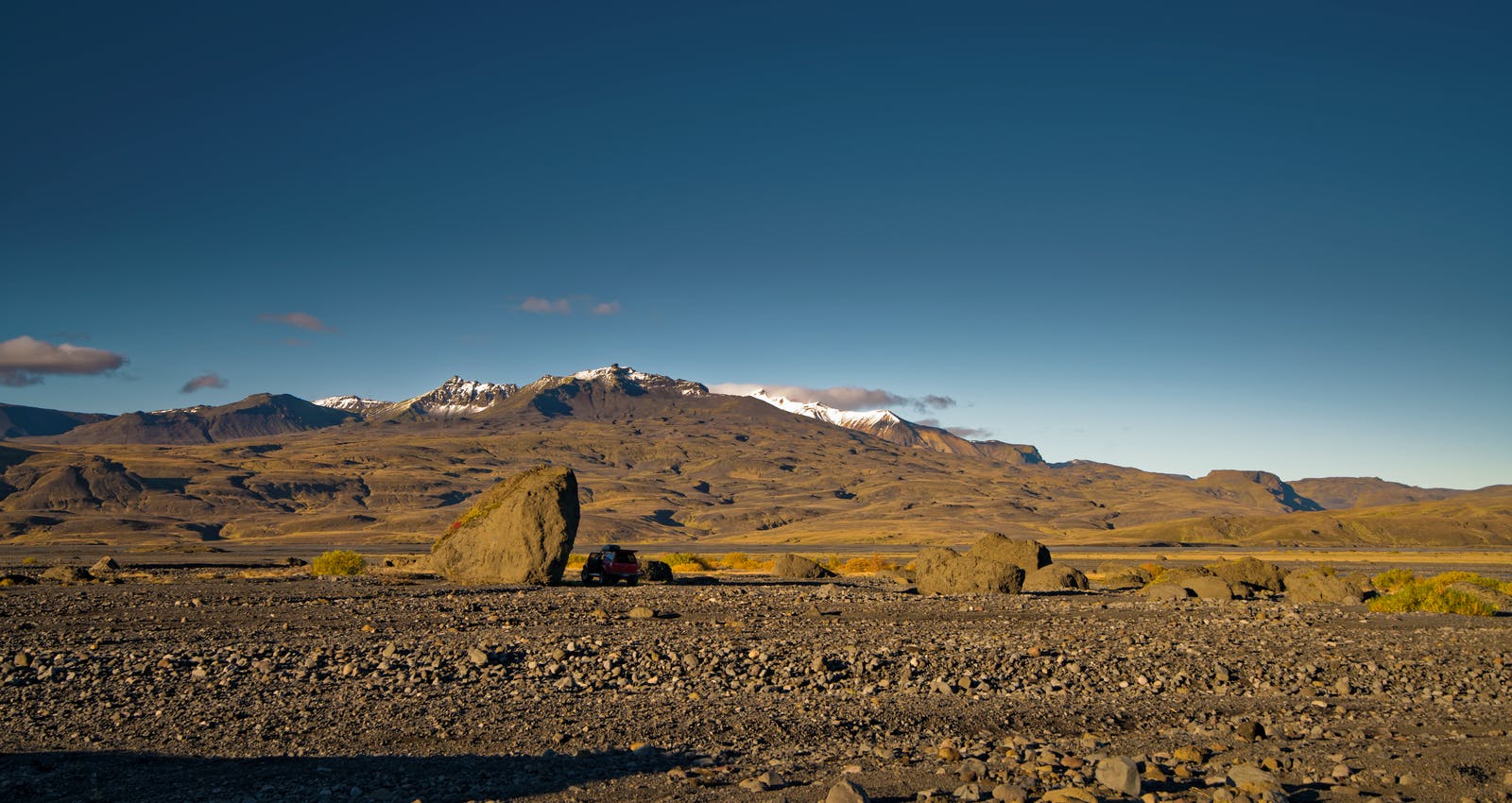
- Glacier-capped volcano, mountain massif, and highland-edge viewpoint area
- Region
- South Iceland, above Fljótshlíð and near the Þórsmörk approach
- Route context
- Best as a South Coast highland-edge detour or distant-view landmark, not a standard quick stop
- Time to allow
- A distant view can be a short add-on; a closer hiking or hut-area plan can take half a day or more
- Access reality
- Closer approaches involve mountain roads, river-area terrain, or hiking decisions that need official checks
- Best experience
- Clear views of the ice cap, sharp Tindfjöll ridges, and the rough valley landscape around Þórsmörk
- Season context
- Snow, wind, river conditions, and road status can change whether a close approach is sensible
- Nearby pairings
- Þórsmörk, Eyjafjallajökull, Seljalandsfoss, Skógafoss, and a slower South Coast plan