Quick guide
- Type
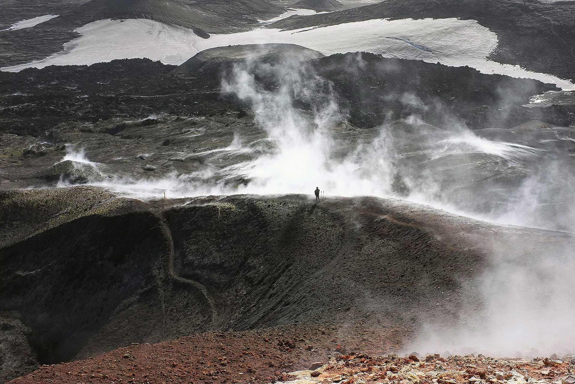
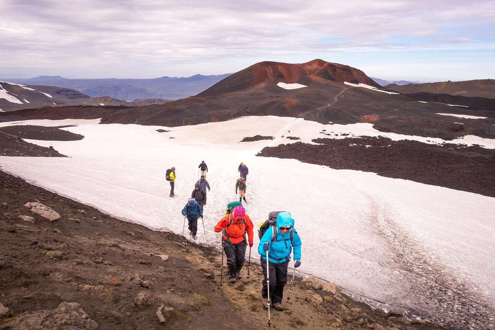
- Volcanic cone, crater landscape, young lava field, and Fimmvörðuháls hiking objective
- Region
- South Iceland, on Fimmvörðuháls between Skógar and Þórsmörk
- Route context
- A mountain-route feature, not a normal Ring Road pull-off
- Time to allow
- Full-day hiking context for most visitors; shorter only within a guided or carefully planned Þórsmörk-side approach
- Best experience
- Seeing the 2010 crater terrain as part of the wider Fimmvörðuháls volcanic landscape
- Access reality
- Access depends on route choice, mountain weather, snow, daylight, transport, and official safety guidance
- Season context
- Most independent plans belong in the settled hiking season, with weather and snow checks still deciding the day
- Nearby pairings
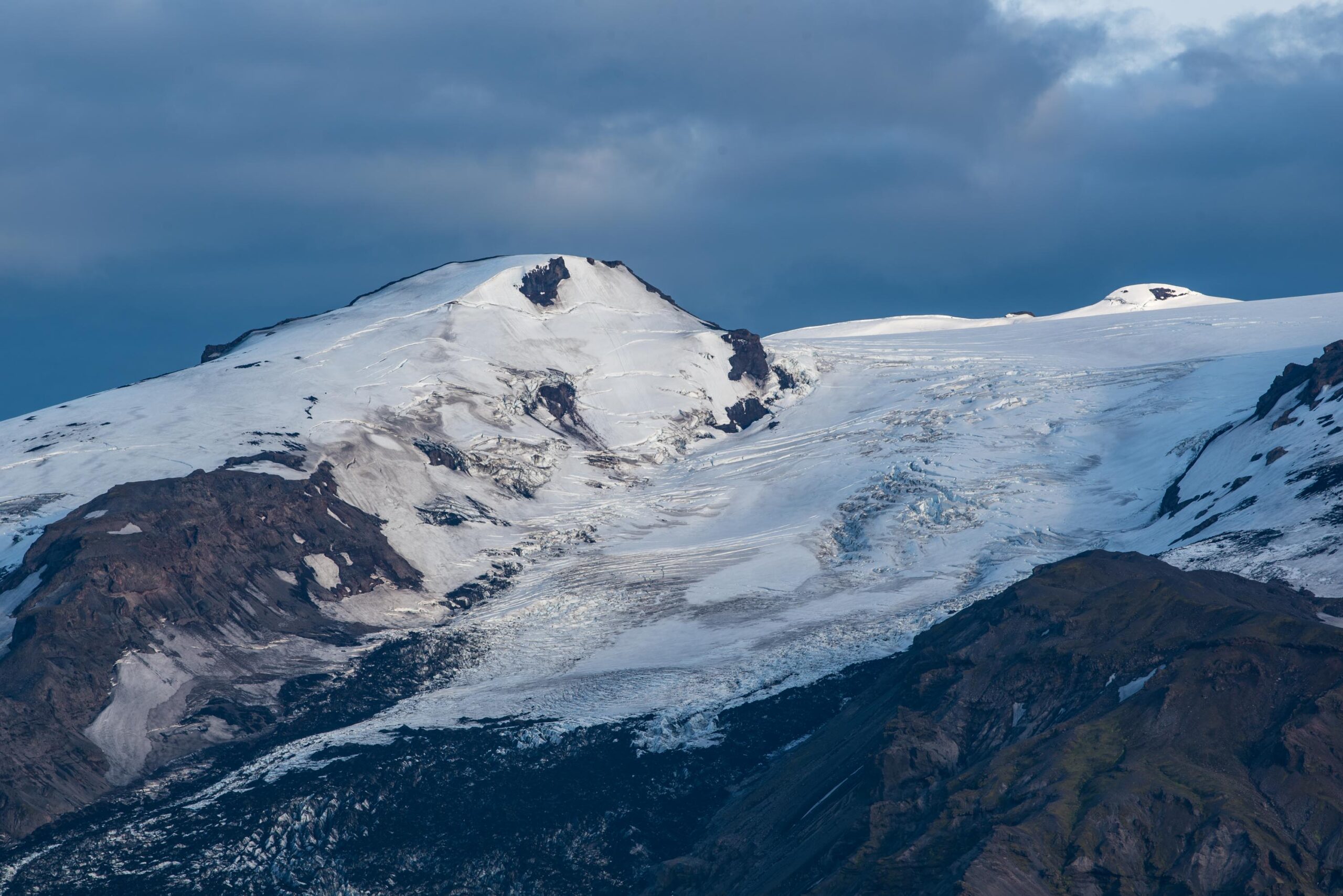
- Fimmvörðuháls, Þórsmörk, Skógafoss, Gígjökull, Eyjafjallajökull, Seljalandsfoss, and Kvernufoss
- Before you go
- Check official safety, weather, road, hut, route, and operator details before treating Magni as reachable