Stakkholtsgjá is a narrow canyon near Þórsmörk in South Iceland, reached by high-friction F-road access and river crossings; visit for the stream-bed walk and waterfall chamber only when conditions and access checks support the detour.
Waterfall facts
Type
Canyon, river walk, and waterfall chamber
Region
South Iceland, near the Þórsmörk access area
Route context
A high-friction South Coast side trip, not a normal Ring Road pull-off
Time to allow
1.5-3 hours for the canyon visit, plus a conservative access buffer
Best experience
Walking the stream bed between high mossy walls toward the inner waterfall
In this guide
Stakkholtsgjá is worth it when the day is already built around Þórsmörk-side access and you want a rough canyon walk with a clear reward
Yes, Stakkholtsgjá is worth it when the day is already built around Þórsmörk-side access and you want a rough canyon walk with a clear reward. It is a poor add-on to an overloaded paved-road South Coast day.
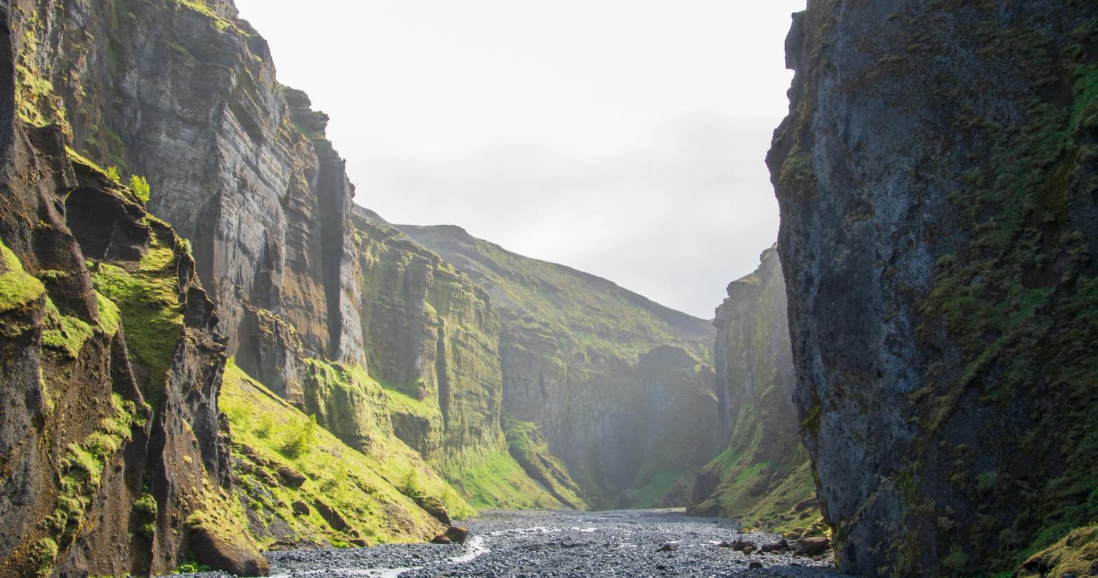
The place is memorable because it feels enclosed and physical. You walk along a stony stream bed between dark, mossy canyon walls, then work toward a hidden waterfall chamber where spray, rock, and echo make the stop feel much larger than the map suggests.
The catch is access. Stakkholtsgjá sits near Þórsmörk, so the road decision can matter more than the walk itself. If the driving plan, river judgement, vehicle permission, and weather are not solid, the better choice is to stay with easier South Coast stops.
Add Stakkholtsgjá for travelers who already have a flexible Þórsmörk-side day and want a canyon objective with real texture. Skip it when the day is trying to fit Seljalandsfoss, Skógafoss, Dyrhólaey, Reynisfjara, and a long onward drive.
What should you decide before going?
Use this near the start of planning, before adding more South Coast stops around the canyon. Stakkholtsgjá works best when the whole day has enough space for a go/no-go decision.
Stakkholtsgjá decision guide
Choice
Use it when
What to check
Quick canyon visit
Access is already suitable and you only want the lower canyon texture.
Road, river, weather, daylight, and on-site signs.
Balanced canyon walk
The canyon is a main stop and you have time for rough footing and the waterfall chamber.
Vehicle rules, travel conditions, stream level, and backup timing.
Official road and weather sources plus local access judgement.
Skip for the day
The route is already full, the vehicle is wrong, or conditions make river access uncertain.
Choose paved South Coast alternatives instead of forcing the detour.
The access decision is part of the attraction; the canyon should not be planned like a paved-road pull-off.
This is also where winter driving guidance belongs if your trip is outside the easiest access season. Snow, darkness, wind, and river conditions can turn a simple-looking map line into the wrong use of a travel day.
Stakkholtsgjá: expect a rough stream-bed walk, not a polished boardwalk
Expect a rough stream-bed walk, not a polished boardwalk. The reward is the way the walls tighten around you and the waterfall appears as the canyon narrows.
The walking surface is part gravel, part rock, and part shallow-water negotiation depending on conditions. The canyon walls rise close enough that small changes in weather and light can change the whole mood of the visit.
The canyon walk is about scale and enclosure as much as the final waterfall.
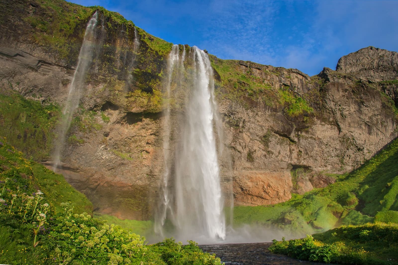
The inner waterfall gives the walk its destination, but the better reason to go is the full sequence: open valley, dark canyon entrance, stream crossings, carved rock, mossy walls, and the final spray-filled chamber.
The waterfall chamber is the natural turnaround point for many visitors when conditions allow the walk.
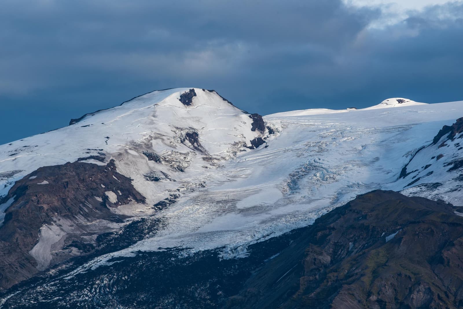
If you are already comparing this area with Gígjökull or Eyjafjallajökull, Stakkholtsgjá gives the day a different texture: less glacier viewpoint, more enclosed canyon movement.
Stakkholtsgjá: plan the canyon as a half-day-sensitive detour, even if the walk itself is shorter
Plan the canyon as a half-day-sensitive detour, even if the walk itself is shorter. The access buffer is what keeps the stop from damaging the rest of the route.
A focused visit may take about 1.5-3 hours once access is settled, but that range is only useful if the drive, parking approach, river judgement, and weather are already accounted for. Build a conservative buffer rather than stacking timed stops behind it.
Effort is moderate but uneven. Expect stones, wet ground, stream edges, and slow movement where the canyon narrows. Families can enjoy the scenery when conditions are friendly, but this is not the best place to rely on predictable footing or guaranteed low-friction access.
Even in good visibility, the canyon is a rough-footing walk rather than a quick viewpoint stop.
If your route is centered on paved-road icons, Seljalandsfoss, Skógafoss, and Kvernufoss are easier to control. Stakkholtsgjá earns its time when the rougher Þórsmörk-side landscape is the point of the day.
Stakkholtsgjá works best as part of a deliberate South Iceland cluster, not as a lonely map pin
Stakkholtsgjá works best as part of a deliberate South Iceland cluster, not as a lonely map pin. Pair it with places that share the same access logic or help explain the landscape.
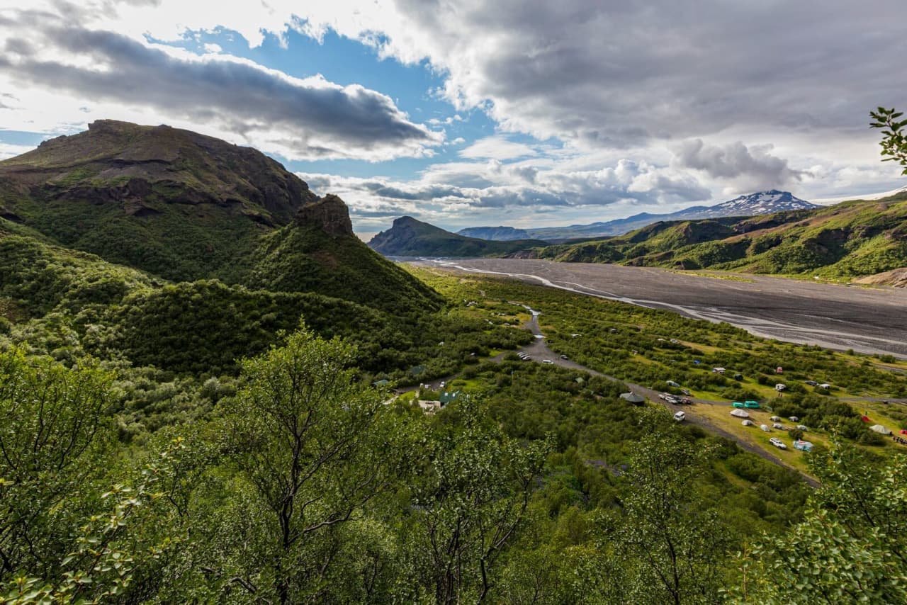
The strongest pairing is Þórsmörk because it turns the canyon into part of a real destination-area day. Gígjökull and Eyjafjallajökull add glacier and volcano context, while Seljalandsfoss and Skógafoss are better choices when you need a simpler South Coast rhythm.
Stakkholtsgjá makes most sense when the surrounding Þórsmörk-side terrain is part of the day, not an afterthought.
For a first-trip South Coast route, compare the canyon against Dyrhólaey and Reynisfjara before committing. Those coastal stops are still weather-sensitive, but they do not ask the same F-road and river-access question.
Use the South Iceland region guide when you are deciding whether this should become a slower regional day. Use the South Coast road trip guide when the issue is drive pressure and stop order.
Stakkholtsgjá planning should end with official checks, not with a saved pin
Stakkholtsgjá planning should end with official checks, not with a saved pin. Use this guide for planning and let official sources decide the final access call.
Check official road conditions before relying on the Þórsmörk-side access route.
Check official weather forecasts and warnings before entering a narrow canyon or committing to river-sensitive driving.
Check SafeTravel guidance for alerts and conservative trip judgement.
Check your rental or operator rules before assuming a vehicle is suitable for F-roads or river crossings.
Respect local signs, closures, and on-site instructions even if older trip reports describe easier access.
Use as supporting context for the canyon walk and access considerations.
Stakkholtsgjá FAQ
These questions matter because the canyon looks simple until access, rough walking, and weather enter the plan.
Can you visit Stakkholtsgjá on a normal South Coast day?
Usually only if the day is deliberately planned around Þórsmörk-side access. If you are prioritizing paved-road stops between Reykjavík and Vík, Stakkholtsgjá often adds too much uncertainty.
Do you need a special vehicle for Stakkholtsgjá?
You should verify vehicle suitability, rental rules, road conditions, and river-crossing requirements before planning the drive. Do not assume an ordinary rental car is suitable for Þórsmörk-side access.
How hard is the canyon walk?
The walk is not technical in good conditions, but it is uneven, wet, and slow in places. The main difficulty is the combination of rough footing, stream edges, weather, and access uncertainty.
Is Stakkholtsgjá a good winter stop?
Only for plans with very conservative condition checks and suitable access. Short daylight, snow, ice, wind, and river-sensitive roads can make easier South Coast stops the better choice.
Are facilities or step-free access reliable at Stakkholtsgjá?
Do not rely on facilities or step-free access for this stop. Verify visitor details with official or local sources before building the canyon into a tight day.