Quick guide
- Type
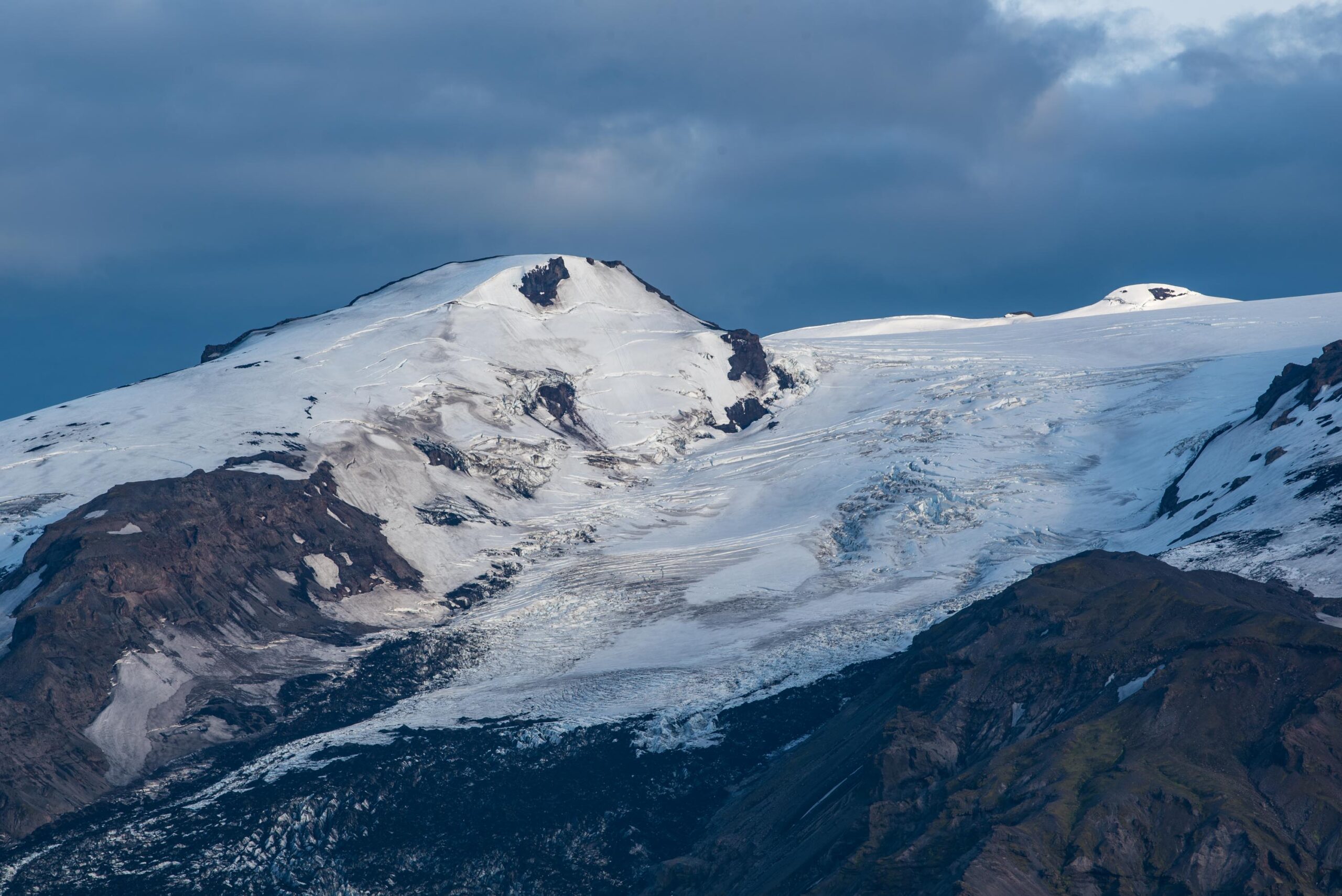
- Outlet glacier and volcanic-glacial landscape
- Region
- South Iceland, on the Þórsmörk side of Eyjafjallajökull
- Route context
- A high-friction South Coast side stop, not a normal Ring Road pull-off
- Time to allow
- 20-45 minutes for viewpoint context; 1-2.5 hours for a deliberate approach when access is suitable
- Best experience
- Dark ash-marked ice, steep moraine walls, meltwater, and the 2010 eruption landscape
- Access reality
- Access depends on F-road, river, vehicle, weather, and local-condition checks
- Season note
- Summer access is usually more realistic, but glacier and road decisions still need official checks
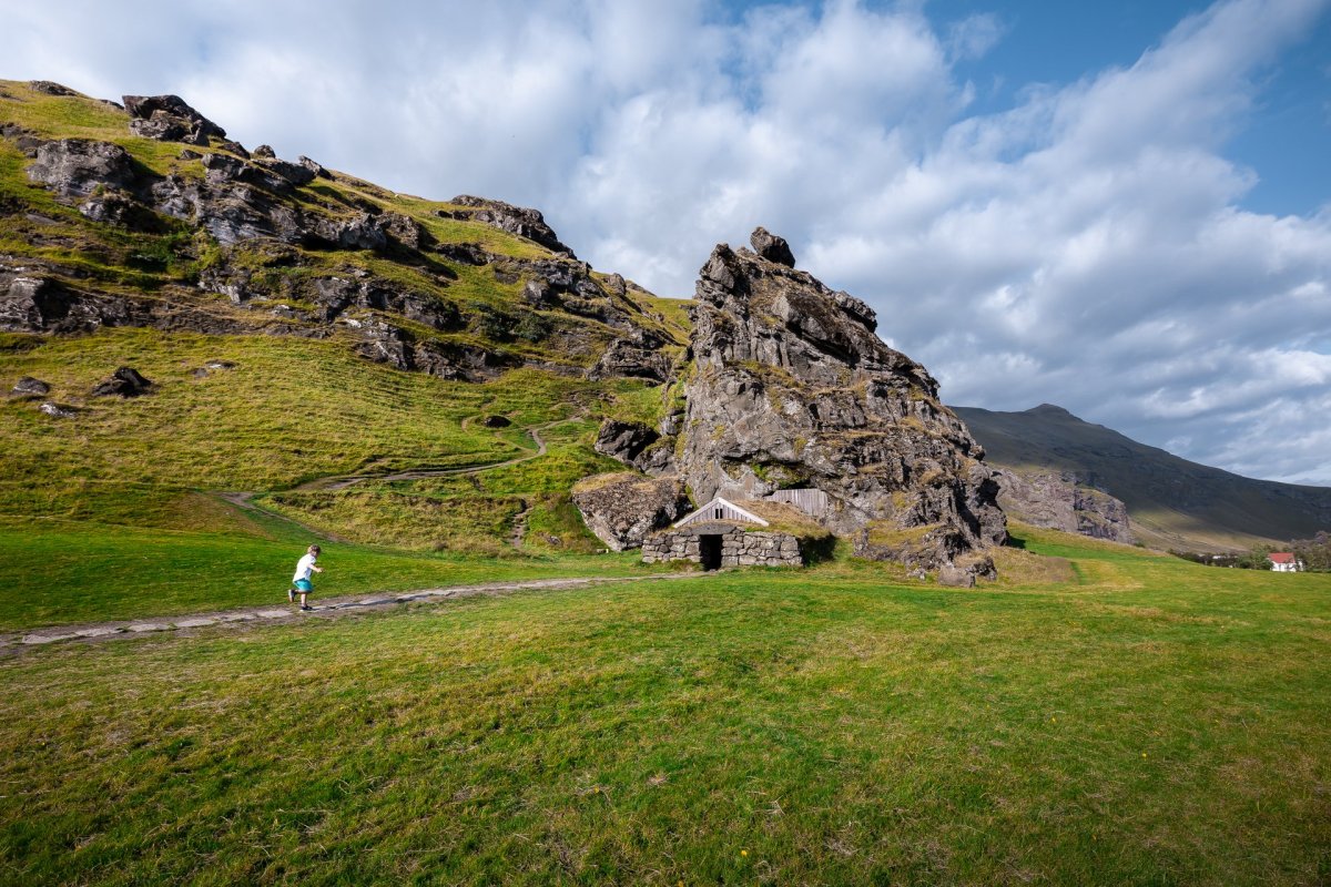
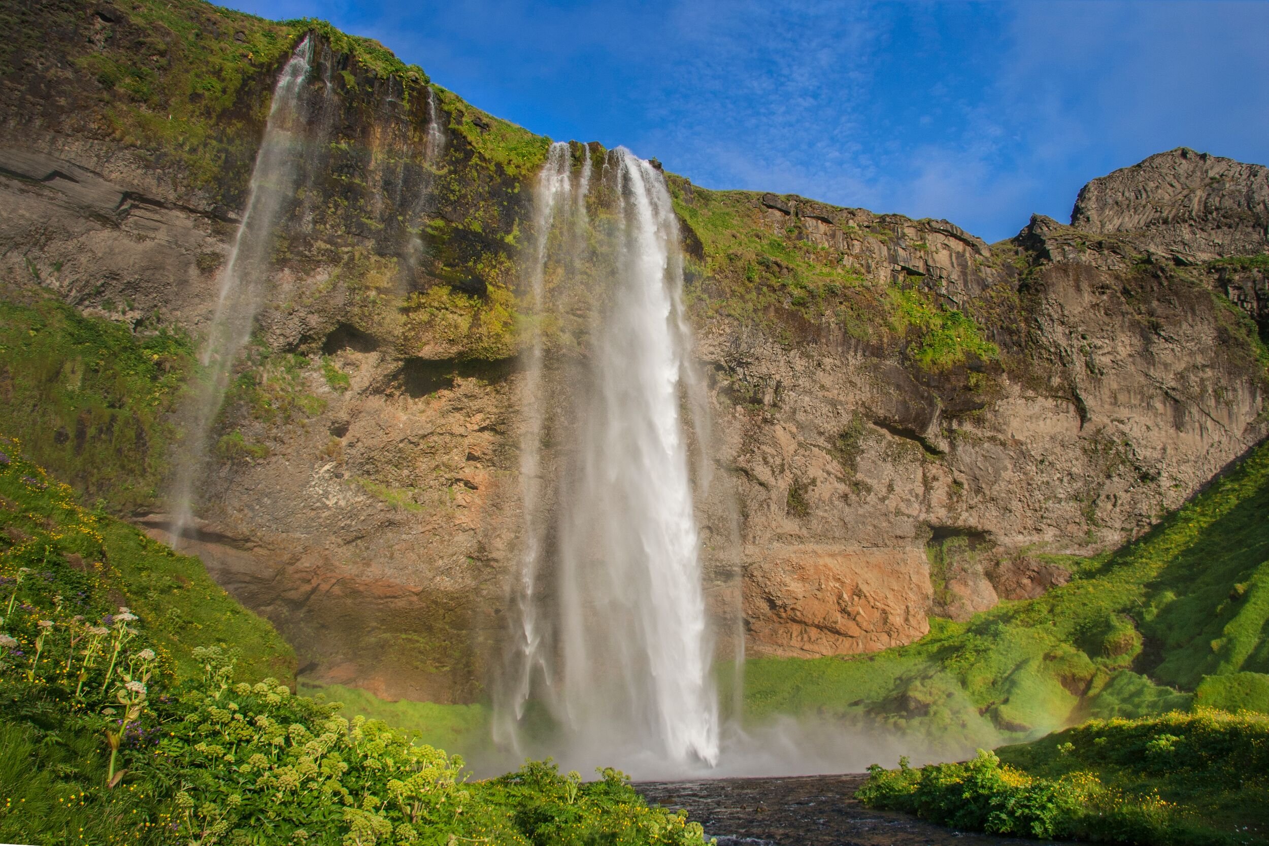
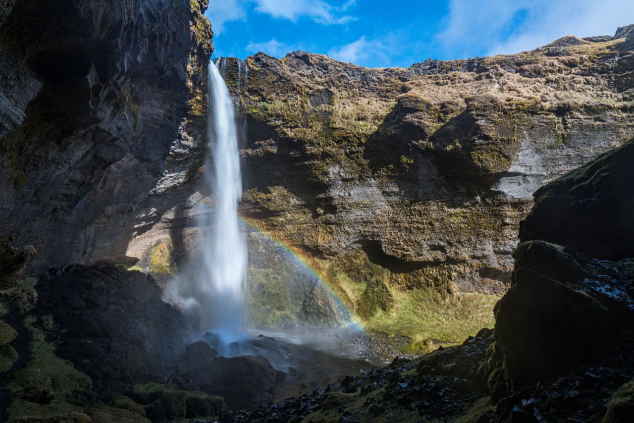
- Nearby pairings
- Eyjafjallajökull, Þórsmörk, Seljalandsfoss, Skógafoss, Kvernufoss, and South Coast route days
- Before you go
- Check official road, weather, SafeTravel glacier guidance, and vehicle-permission details before committing