
Places to see
Iceland Attractions
Use this page to find the landmarks, landscapes, and scenic areas worth building your route around.
Useful for
Where to start
Start with one route-shaping line.
Gullfoss works best when the nearby Golden Circle stops are easy to compare, not mixed with unrelated highlights.


All place guides
Find sights worth building into your route.
Search and filter attraction pages and visual collections without mixing in route or region hubs.
What do you want to see?
Where?
Route level
Trip style
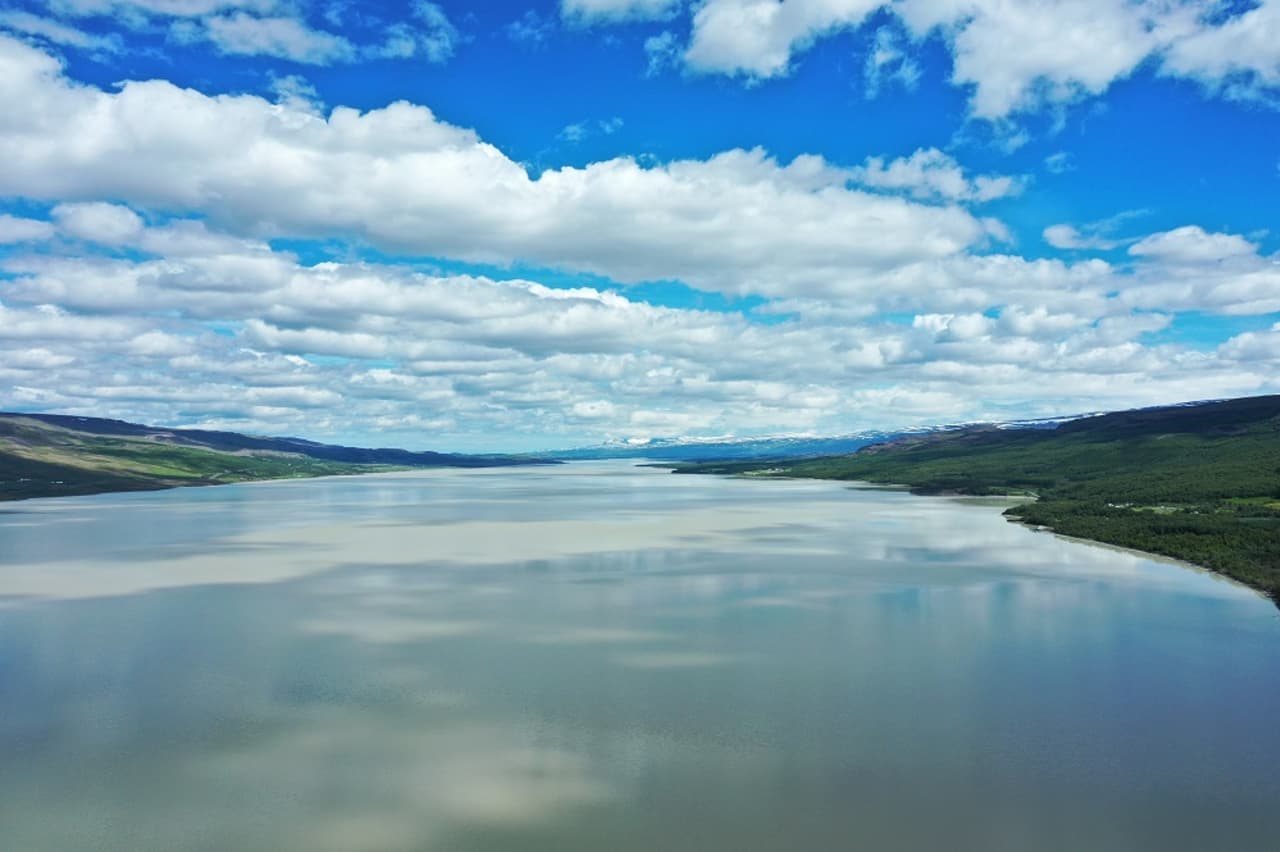
Lagarfljót
Lagarfljót is East Iceland's long lake-and-river corridor beside Egilsstaðir, best for travelers deciding whether to slow down for lake views, folklore, forest stops, and a softer side loop.
Lake corridor · Near Egilsstaðir · East Iceland side loop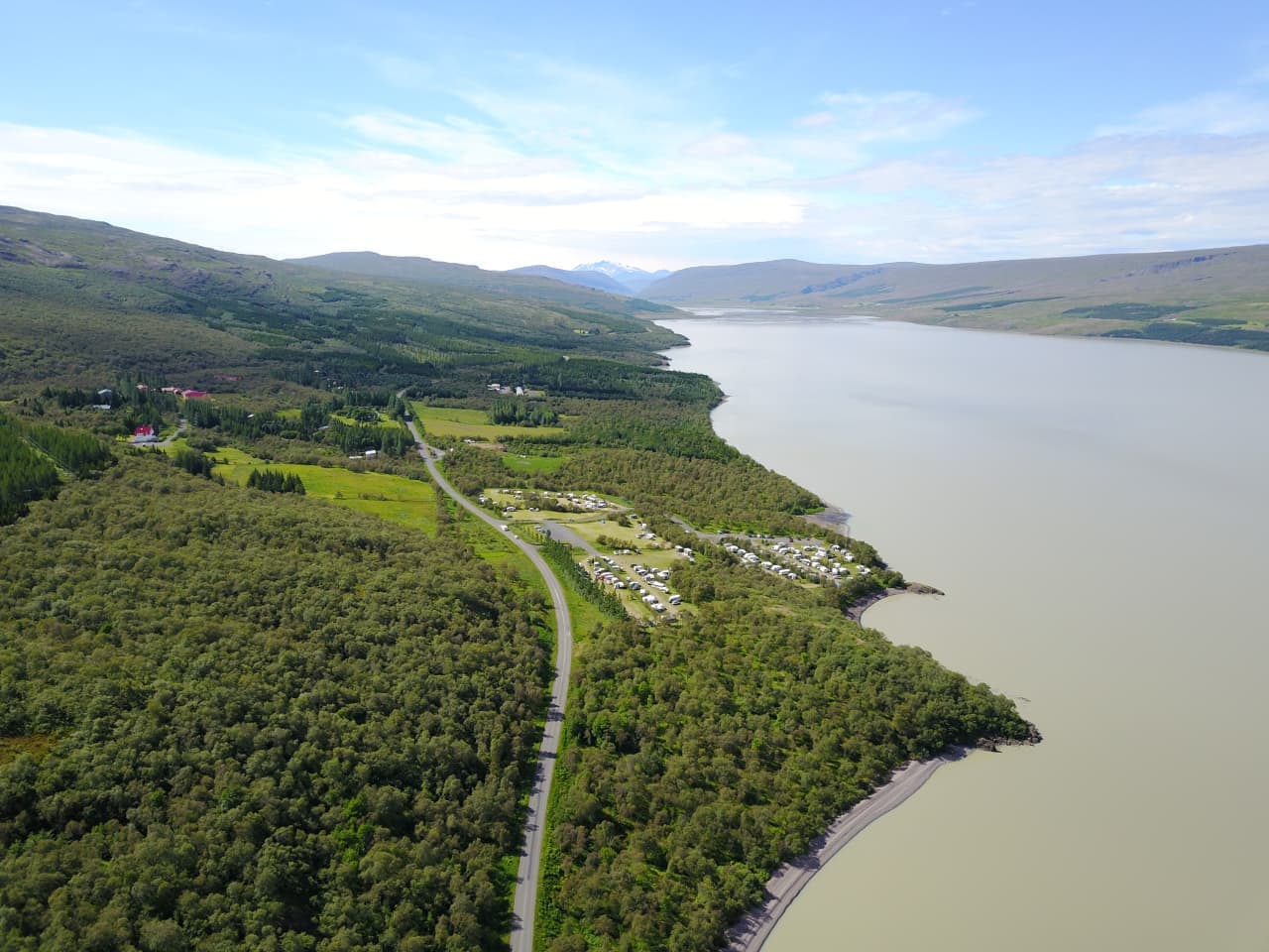
Hallormsstaðaskógur
Hallormsstaðaskógur is Iceland's largest national forest, a quiet Lagarfljót stop near Egilsstaðir. Visit when your East Iceland day needs woodland trails, lake context, and a calmer contrast to waterfalls or fjord drives.
National forest · Lake Lagarfljót · Near Egilsstaðir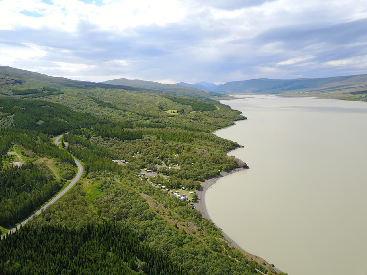
Atlavík
Atlavík is a sheltered cove on Lake Lagarfljót inside Hallormsstaðaskógur, best for travelers who want a quiet forest-and-lake pause while exploring the East Iceland area near Egilsstaðir and Hengifoss.
Lagarfljót cove · Hallormsstaður forest · East Iceland pause
Hóp Lake
Hóp Lake is a tidal lake and wetland stop in northwestern North Iceland, useful when your day already passes Vatnsdalur, Vatnsnes, or Blönduós and you want a quiet landscape pause.
North Iceland · Tidal lake · Quiet route pause
Egilsstaðir
Egilsstaðir is East Iceland’s practical inland town beside Lagarfljót, useful as a Ring Road pause, flight gateway, or base for nearby fjords, forests, waterfalls, lake country, and highland-edge drives.
East Iceland base · Ring Road stop · Lagarfljót gateway
Skútustaðagígar
Skútustaðagígar is a protected group of grassy pseudocraters on the south side of Lake Mývatn, worth adding when you want an easy volcanic walk, birdlife, and a calmer North Iceland stop.
North Iceland · Lake Mývatn · Pseudocraters
Lake Mývatn
Mývatn is a lake-and-volcanic landscape area in North Iceland, best planned as a multi-stop base where craters, lava fields, geothermal areas, and baths compete for time, with enough flexibility for conditions and nearby route choices.
North Iceland lake district · Diamond Circle anchor · volcanic and wetland cluster · birdlife and geothermal stops
Build a trip around the places you want to see.
Once the sights are clear, use planning pages to turn them into a route with realistic timing.