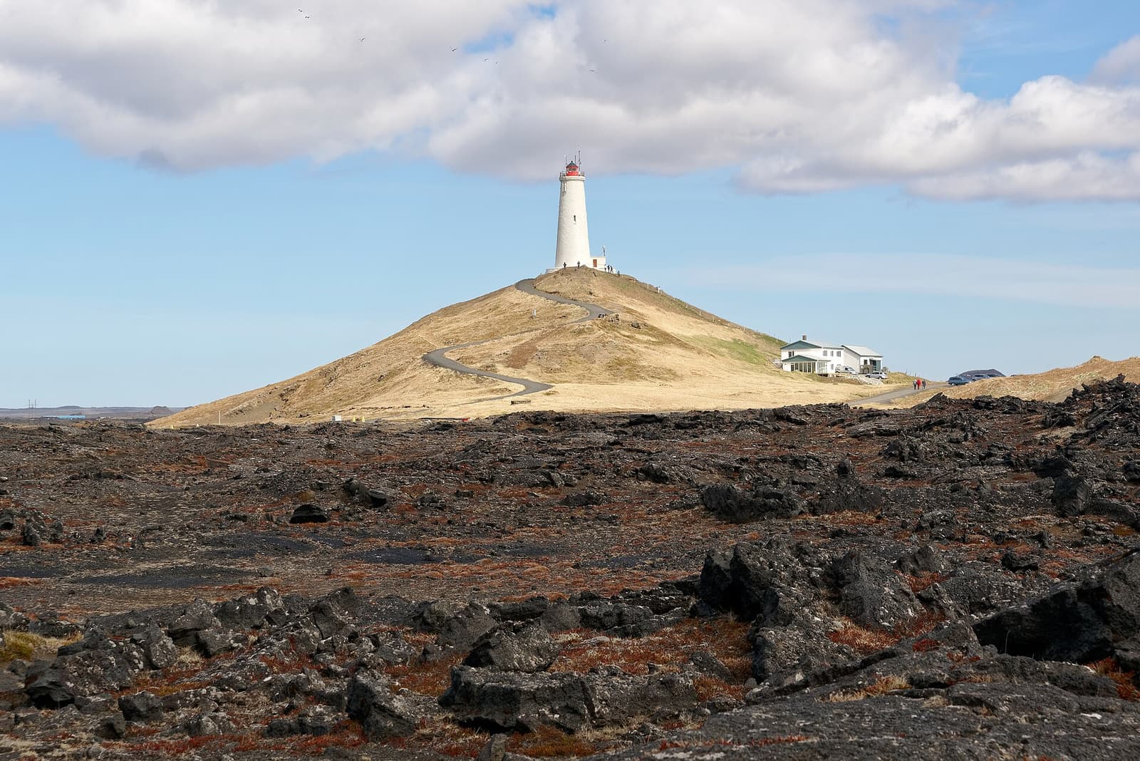
Krýsuvíkurbjarg is a rugged bird cliff on southern Reykjanes, best when a peninsula loop already includes Krýsuvík, Kleifarvatn, or Seltún and you want coastal scale, seabirds, and a rougher access reality.
Coast snapshot
Type
Sea cliffs, birdwatching coast, and exposed Reykjanes viewpoint
Region
Southern Reykjanes Peninsula, near the Krýsuvík area
Route context
Best inside a Reykjanes self-drive loop, not as a standalone first-trip detour
Typical time
About 20-45 minutes for a careful look; longer only if weather, birds, and footing make it worthwhile
Best experience
Watch the cliff line, sea swell, and seabirds from a conservative distance
In this guide
Krýsuvíkurbjarg is worth adding when Reykjanes is already the plan and you want the peninsula's wilder southern coast
Yes, Krýsuvíkurbjarg is worth adding when Reykjanes is already the plan and you want the peninsula's wilder southern coast. It is weaker as a standalone detour from Reykjavík or Keflavík if your day needs predictable, easy stops.
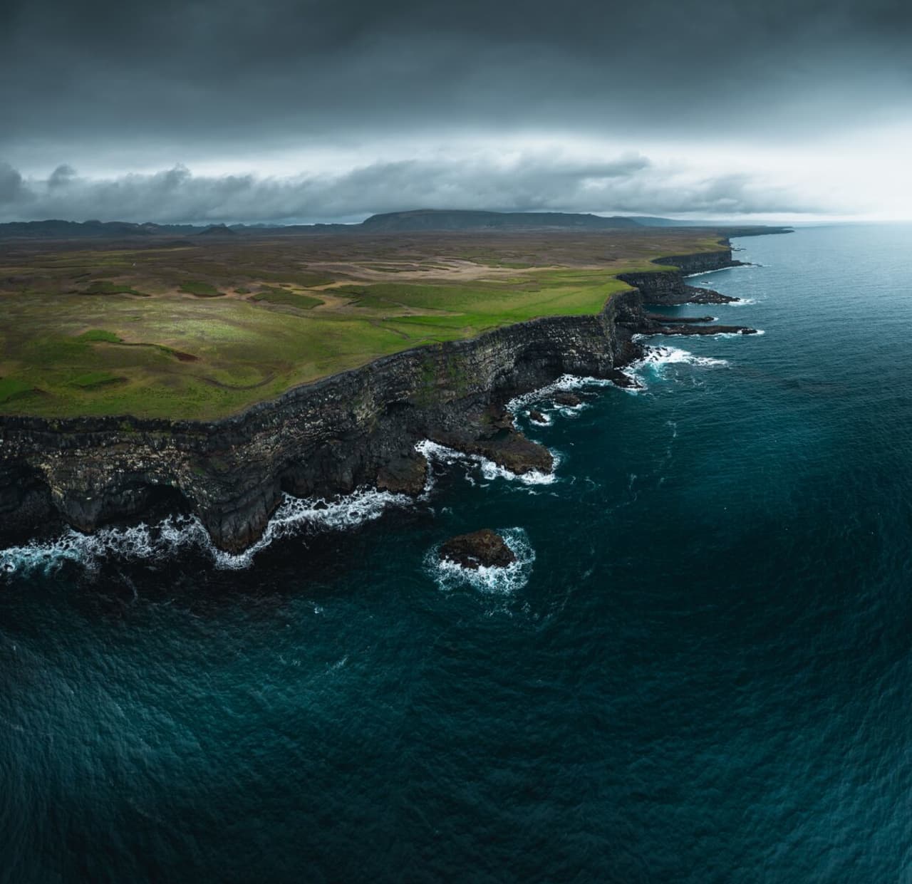
The draw is simple but specific: high dark sea cliffs, Atlantic swell, nesting seabirds, open wind, and the feeling that the road has left the more polished Reykjanes stops behind. This is not a boardwalk geothermal stop like Seltún Geothermal Area or a managed bathing stop like the Blue Lagoon; it is a coastal viewpoint that asks for judgement.
Add Krýsuvíkurbjarg when the day already links Kleifarvatn, Seltún Geothermal Area, Grænavatn, or the older coastal sites around Selatangar and Ögmundarhraun. Skip it when strong wind, poor visibility, nervous passengers, or a tight airport schedule would turn the cliff stop into a liability.
What does the cliff stop feel like?
Krýsuvíkurbjarg feels exposed, open, and less arranged than many Reykjanes stops. The main experience is standing well back from the edge and reading the scale of cliffs, sea, birds, and weather together.
On a good day, the coastline does most of the work: dark rock drops into the surf, birds move along the face, and the view runs across a sparse volcanic landscape rather than a built-up visitor area. Bring binoculars if birds are the reason for the stop, and keep photography conservative near the cliff edge.
Krýsuvíkurbjarg is strongest when the cliff line, sea, and birdlife are the reason for the detour.
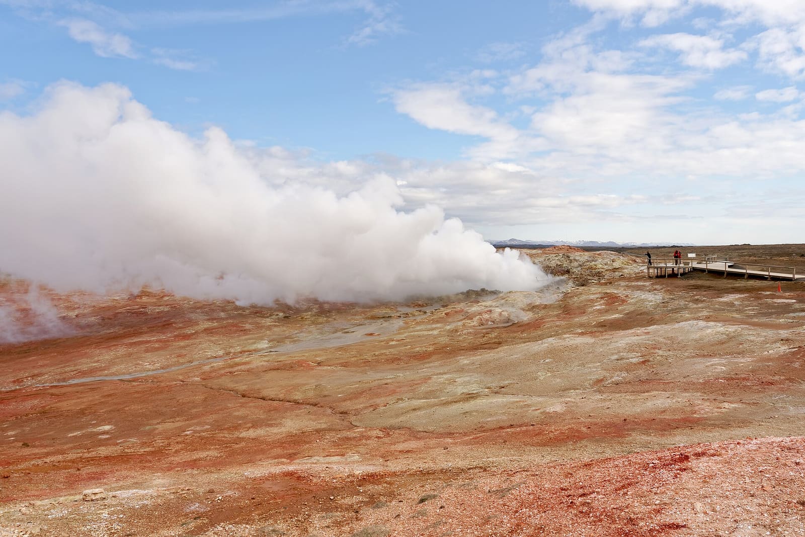
The stop can also feel underwhelming if you arrive for a quick checklist photo. Its value is slower and more elemental than Gunnuhver or Reykjanesviti: less steam, less lighthouse drama, more wind, distance, and attention.
Most travelers should plan Krýsuvíkurbjarg as a 20-45 minute stop
Most travelers should plan Krýsuvíkurbjarg as a 20-45 minute stop, then adjust down if the road, wind, visibility, footing, or group comfort makes it feel wrong.
Use Krýsuvíkurbjarg by the role it plays in your Reykjanes day.
Visit style
Best use
Watch for
Quick look
A short coastal contrast after Seltún or Kleifarvatn
Rushed photos, wind, and edge awareness
Normal stop
A slow birdwatching and cliff-view pause with time to keep distance
Visibility, footing, and nesting-bird sensitivity
Skip or replace
A day that already has enough rough roads, weather uncertainty, or airport pressure
Forcing the stop because it looks close on a map
Do not judge the stop only by distance from Reykjavík. The useful question is whether southern Reykjanes belongs in the day at all. If you are already using the Reykjanes Peninsula Road Trip, Krýsuvíkurbjarg can add coast and birds; if not, it may be simpler to stay with easier stops.
Treat the stop as a rough coastal viewpoint, not as a polished visitor site.
Which nearby Reykjanes stops make the most sense?
Krýsuvíkurbjarg works best when it completes a small Reykjanes cluster. Build the day around one clear idea: Krýsuvík coast and geothermal stops, or western Reykjanes viewpoints.
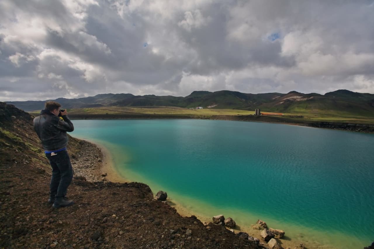
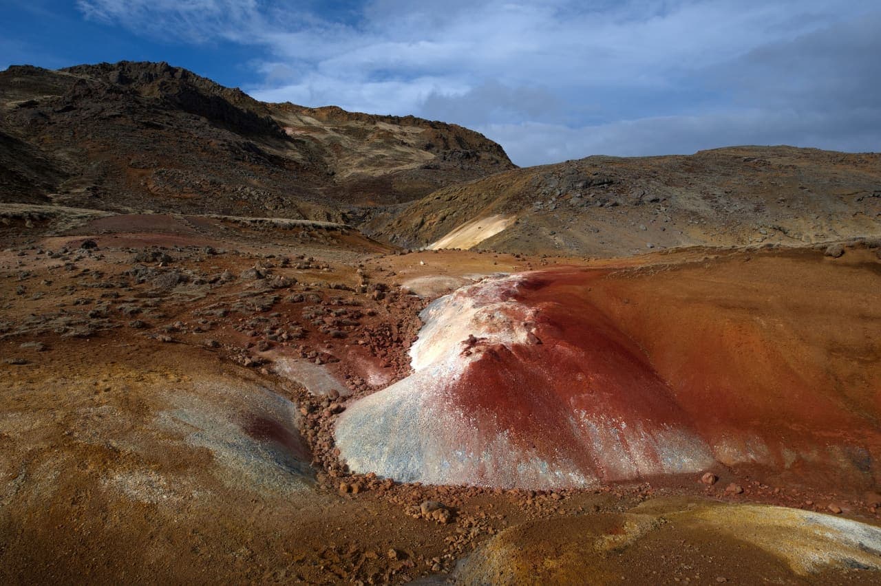
For a compact Krýsuvík sequence, pair the cliffs with Seltún Geothermal Area, Kleifarvatn, and Grænavatn. That gives you geothermal color, lake scenery, and a wild coast without turning the day into a long chase across the peninsula.
For a broader coastal day, use Selatangar and Ögmundarhraun to keep the old-coast and lava-field theme, then decide whether Gunnuhver and Reykjanesviti still fit. If the Blue Lagoon is the fixed anchor, keep Krýsuvíkurbjarg optional until the rest of the schedule is realistic.
The stop is most useful when the wider Reykjanes coast is part of the day, not an afterthought.
Before building Krýsuvíkurbjarg into a tight plan, verify the details that can change
Before building Krýsuvíkurbjarg into a tight plan, verify the details that can change: road conditions, weather warnings, wind, visibility, bird or cliff-edge guidance, and any on-site restrictions.
This is an exposed coastal cliff, so the usual Iceland planning checks matter more than they do at a paved city landmark. Use official road and weather sources before leaving, then treat signs and barriers at the site as the final authority.
If access feels awkward or the weather makes cliff viewing uncomfortable, do not force it. Seltún Geothermal Area, Kleifarvatn, Gunnuhver, Reykjanesviti, or the winter driving guide may give you a cleaner next decision for the same day.
Specialist birding context for the Reykjanes Peninsula.
Krýsuvíkurbjarg FAQ
These are the practical questions that usually decide whether the cliff stop belongs in a Reykjanes plan.
Is Krýsuvíkurbjarg mainly for birdwatching?
Birdwatching is one of the strongest reasons to go, but the cliff and coastal scenery can still justify the stop when southern Reykjanes is already in your route.
Is Krýsuvíkurbjarg a good first Iceland stop?
Usually no. First-time visitors with limited time are often better served by easier Reykjanes stops unless they specifically want bird cliffs and rougher coastal scenery.
Can you walk close to the cliff edge?
Keep a conservative distance. Wind, loose ground, birds, and on-site guidance matter more than getting a dramatic photo.
What is the best nearby pairing?
Seltún, Kleifarvatn, and Grænavatn make the cleanest Krýsuvík-area pairing; Gunnuhver and Reykjanesviti fit better if the day continues west.