Is the Reykjanes Peninsula worth a road trip?

Reykjanes is worth a road trip when it solves an airport-day or short-route problem, not when it becomes one more rushed checklist before the real trip begins.

The peninsula sits beside KEF and close to Reykjavik, so it is easy to underestimate. The useful version is a compact volcanic and coastal drive with clear limits: a few strong stops, a realistic start or end point, and current access checks before you commit.

Use Reykjanes when you want a lower-pressure first or last day, a Blue Lagoon-adjacent route, or a short self-drive alternative to immediately pushing toward the South Coast. Skip it when you are tired, arriving late, or already using every useful day on a larger route.

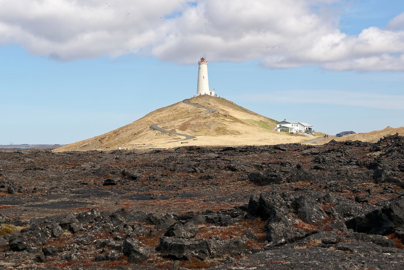
Reykjanesviti works as a western route marker when the day has enough time and conditions support exposed stops.
Reykjanesviti lighthouse stands above black volcanic ground on the southwest Reykjanes route.

Reykjanesviti works as a western route marker when the day has enough time and conditions support exposed stops.

Good to know

Is this right for you?

Best for

  • travelers with a rental car and a flexible KEF arrival or departure day
  • short-break visitors who want a volcanic route without driving far from Reykjavik
  • first-time visitors deciding whether Blue Lagoon should anchor a route day
  • self-drive planners who need a safer alternative to starting with a long South Coast transfer

Think twice if

  • late arrivals with jet lag, winter darkness, or no road-condition buffer
  • travelers without a car who want to reach natural stops beyond towns and transfers

Related context

ReykjavíkSouth Coast Road TripGunnuhverReykjanesviti Lighthouse

Structured route plan

Stops, drive pressure and realistic cuts

Use the ordered route before adding optional detours. Times are editorial estimates; current conditions decide whether the drive is sensible.

Drive
3 hr 25 min
Distance
170 km
Stops
11
  1. 1

    Keflavík town (after KEF pickup)

    base

    The route starts in town, not at the terminal. Allow separately for airport formalities, car pickup and the drive here; start only when rested.

    15 kmabout 20 minlow pressureRoute 424 / Route 41 / Route 45 / signed lighthouse access
    Base / handoff
  2. 2

    The pin marks the public Garðskagaviti parking area by the lighthouses. Follow local signs rather than parking in a campsite or private lot. The exposed coastal walk needs suitable wind, visibility and daylight.

    Skip when: the route window is short; coastal wind makes the detour poor value
    30 kmabout 35 minlow pressureRoute 45 / Route 41 / Route 44 / Route 425
    The driving allowance ends at the signed roadside parking. Walk to the cliffs; do not navigate a car to the cliff pin.
    20–40 min
  3. 3

    The pin marks the roadside parking off Route 425 about 4 km south of Hafnir. The cliffs are reached on foot to the west. Allow 90–150 minutes for the walk out and back and time at the cliffs; stay back from the fractured edge.

    Skip when: wind or visibility is poor; the day cannot absorb a longer coastal walk
    4 kmabout 8 minlow pressureRoute 425 / signed visitor access
    90–150 min
  4. 4

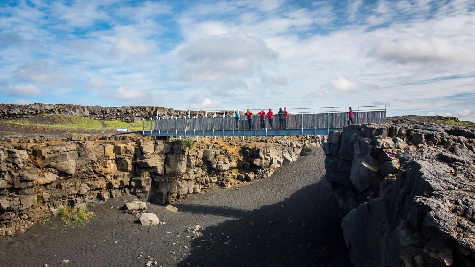
    The pin marks the signed visitor parking off Route 425. Walk to the bridge on marked paths and respect crack or sinkhole warnings. Check the onward connection separately; proximity to Blue Lagoon does not establish an open coastal through-road.

    Skip when: flight or rental delays reduce the route window
    3 kmabout 5 minlow pressureRoute 425
    20–40 min
  5. 5

    The pin marks the roadside Stampar car park off Route 425. Use the marked paths to the crater row; a crater pin is not a driving destination.

    6 kmabout 12 minlow pressureRoute 425 / Route 443
    20–40 min
  6. 6

    Reykjanesviti

    recommended

    The pin marks the parking area south of Reykjanesviti, reached from Route 443. Walk to the lighthouse area using local signs and account for coastal wind.

    2 kmabout 5 minlow pressureRoute 443 / signed Gunnuhver access
    25–45 min
  7. 7

    Gunnuhver

    essential

    The pin marks Gunnuhver West Parking, matching the approach from Reykjanesviti. The east lot is a separate arrival. Stay on marked paths and treat closures or gas warnings as final.

    28 kmabout 30 minmoderate pressureRoute 443 / Route 425 / Route 43 / signed spa access
    Conditional southern connection: check road access and the operator's signed approach before departure. If unavailable, these totals no longer apply; shorten or rebuild the day.
    25–45 min
  8. 8

    Blue Lagoon

    optional

    The pin marks the main visitor car park. Confirm admission and current access, then follow the operator's signed Route 43 approach. A parking point does not make an old navigation route or the southern through-road usable.

    Skip when: access is restricted; the booking is unconfirmed; flight timing is fragile
    38 kmabout 40 minmoderate pressureRoute 43 / Route 427 / Route 42
    Access and volcanic restrictions can invalidate this connection.
    120–180 min
  9. 9

    The pin marks Seltún visitor parking beside Route 42. Walk into the geothermal area on the marked paths. Confirm road and volcanic access before crossing the southern peninsula.

    9 kmabout 10 minlow pressureRoute 42
    35–60 min
  10. 10

    Kleifarvatn

    optional

    The pin marks the west-shore Lake Kleifarvatn car park beside Route 42, not the lake centre. Use the signed pull-off and choose a short view suited to wind and visibility.

    Skip when: visibility or wind removes the value of the stop
    35 kmabout 40 minlow pressureRoute 42 / Route 41
    20–40 min
  11. 11

    Reykjavík

    base

    End the route here instead of forcing another long South Coast transfer.

    Base / handoff

Choose the route shape before the stops

One wayRecommended route

Full peninsula to Reykjavík

A long day with a cliff walk and bathing stop, only when the southern connections are confirmed. Split it or cut stops if meals, weather or booking times need more room.

Minimum time
12 hr
Driving
3 hr 25 min

Cut first: Hafnaberg parking and cliff walk, Blue Lagoon, Garðskagi lighthouses, Stampar crater row, Bridge Between Continents, Kleifarvatn.

  1. Keflavík town (after KEF pickup)
  2. Garðskagi lighthouses
  3. Hafnaberg parking and cliff walk
  4. Bridge Between Continents
  5. Stampar crater row
  6. Reykjanesviti
  7. Gunnuhver
  8. Blue Lagoon
  9. Seltún geothermal area
  10. Kleifarvatn
  11. Reykjavík
One way

Airport and booked lagoon

The cleanest short route when a confirmed lagoon booking is the only major stop.

Minimum time
5 hr
Driving
1 hr 10 min

Cut first: Optional detours outside the base route.

  1. Keflavík town (after KEF pickup)
  2. Blue Lagoon
  3. Reykjavík
One way

Geothermal coast without bathing

A full coastal day including the Hafnaberg walk, conditional on the southern connection to Seltún. Cut the walk first when daylight or flight timing is tight.

Minimum time
10 hr
Driving
3 hr 5 min

Cut first: Hafnaberg parking and cliff walk, Garðskagi lighthouses, Stampar crater row, Bridge Between Continents, Kleifarvatn.

  1. Keflavík town (after KEF pickup)
  2. Garðskagi lighthouses
  3. Hafnaberg parking and cliff walk
  4. Bridge Between Continents
  5. Stampar crater row
  6. Reykjanesviti
  7. Gunnuhver
  8. Seltún geothermal area
  9. Kleifarvatn
  10. Reykjavík

Season and access checks

Volcanic access can change the route

Closures, evacuation rules and operator access updates override every saved stop sequence. Check the official source.

Airport proximity does not remove weather risk

Winter wind, darkness and exposed coastal roads should reduce the fixed stop list. Check the official source.

One-way totals exclude the airport return

All variants end in Reykjavík and begin in Keflavík town. Add the KEF transfer and departure formalities separately. Distances and drive times are planning estimates, not evidence that a connecting road is open. Check the official source.

Route overview

Locate the stops

Lines show the stop sequence, not the roads to drive. The ordered stops remain available without loading the map.

The map shows named visitor parking, including the Hafnaberg trailhead. Check each connecting road separately. Blue Lagoon's signed Route 43 approach does not establish through-access across the southern peninsula.

Choose a route

Interactive map loads only when requested

This keeps the route guide fast while the complete stop sequence stays visible.

Official checks before driving

How much time do you need near KEF?

The right Reykjanes plan depends less on the map distance and more on your flight timing, energy, daylight, and whether Blue Lagoon is fixed.

Choose the time window before choosing every stop.
Time availableBest useTradeoff
1 to 2 hours after landingKeep it to KEF logistics, food, car pickup, or a very nearby look at the coastToo short for a real peninsula route without rushing
Half dayUse Bridge Between Continents, Reykjanesviti/Gunnuhver, or Blue Lagoon as the main anchorYou need to cut the eastern peninsula or longer walks
Long full day after airport logisticsAllow about 10 hours for the complete coast-and-walk variant, or 12 hours with bathing, before adding an airport returnThese are planning allowances; cut stops or split the day when meals, weather, access or bookings need more room
Overnight near KEFBest before an early flight or after a late arrival when Reykjavik adds frictionDo not add it just to create another hotel move

A half day can suit a small selection of western stops or a booked lagoon visit. The complete coast-and-walk route is a different commitment: Hafnaberg needs a return walk, and adding bathing makes an already long day longer. Do not use the short-route timing for the full stop list.

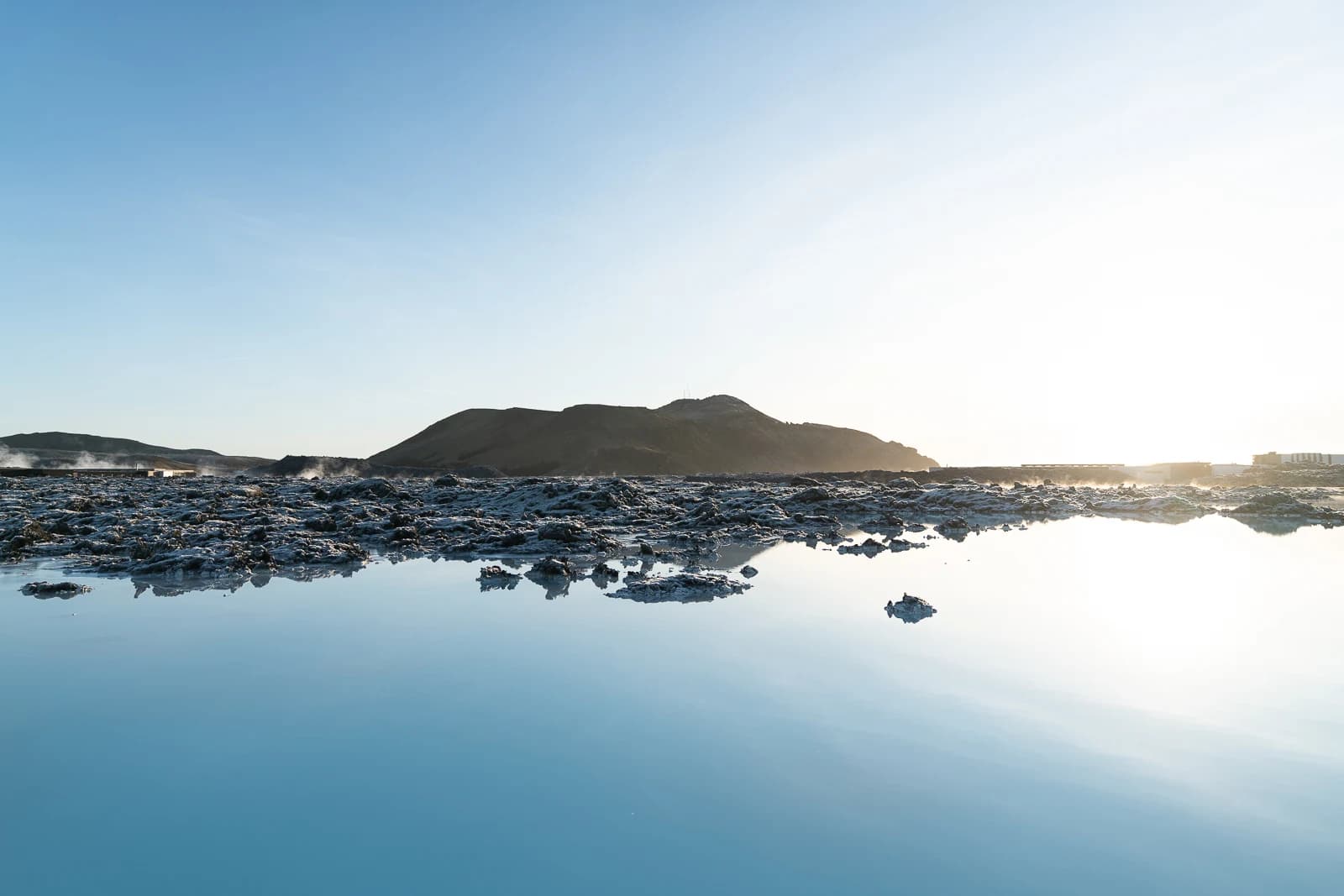
A fixed Blue Lagoon booking can make Reykjanes simple, but it should own the time window honestly.
Aerial view of Blue Lagoon water and black lava fields near Keflavik Airport.

A fixed Blue Lagoon booking can make Reykjanes simple, but it should own the time window honestly.

Driving plus listed visits, before meals, delays or airport formalities. These are planning estimates, not journey-time predictions.
VariantDriving plus shorter visitsDriving plus longer visits
Full peninsula with bathingAbout 9 hours 40 minutesAbout 14 hours 5 minutes
Geothermal coast without bathingAbout 7 hours 20 minutesAbout 10 hours 45 minutes
Airport and booked lagoonAbout 3 hours 10 minutesAbout 4 hours 10 minutes

The 12-hour and 10-hour minimum windows for the full routes assume compact visits. They do not fit every longer stop allowance plus meals and delays. If you want a leisurely Hafnaberg walk and a long soak, split the peninsula across days or remove stops. A closed southern connection changes the route and these totals.

The route order that avoids airport-day backtracking

After airport logistics, the western sequence runs from Garðskagi through Hafnir to the Hafnaberg roadside parking, Bridge Between Continents, Stampar and the Reykjanesviti/Gunnuhver area. The southern continuation needs its own access check.

  1. Start at KEF only after the rental car, luggage, food, and tiredness check are handled.
  2. Use Keflavik or Reykjanesbaer as the practical pause point if the flight day has already slipped.
  3. If including Garðskagi, visit it first. Return via Routes 45 and 41, then use Route 44 to Hafnir and Route 425 south. The Hafnaberg parking comes before Bridge Between Continents; continue to Stampar, then use Route 443 for the lighthouse area.
  4. Use Gunnuhver as the geothermal route anchor, but stay on marked paths and respect any access warnings.
  5. Add Blue Lagoon or Grindavik-area stops only when official access and booking timing make them realistic.
  6. Continue toward Krysuvik/Seltun and Kleifarvatn only if you are not racing darkness, check-in, or a flight.
  7. End in Reykjavik, Keflavik, or your next route base based on tomorrow's drive, not today's wish list.

From Reykjavik, reverse the logic if you are using Reykjanes as a departure-day route: keep the stop list shorter as you move closer to KEF, and do not let one final detour create airport stress.

The three route variants below finish in Reykjavík; their totals do not include a drive back to KEF. They start at Keflavík town after airport pickup. Add your airport-to-town transfer, rental return, terminal transfer and airline check-in allowance separately. On departure day, rebuild the route around your airport cutoff rather than reversing every stop automatically.

Which Reykjanes stops should anchor the route?

Choose one or two anchors first, then add smaller stops only if the day still has room.

Use stops by route job, not by popularity.
Route anchorBest useMake it conditional when
Blue LagoonA fixed spa booking near KEF or a deliberate first/last day recovery stopAccess updates, booking time, or flight timing makes the stop stressful
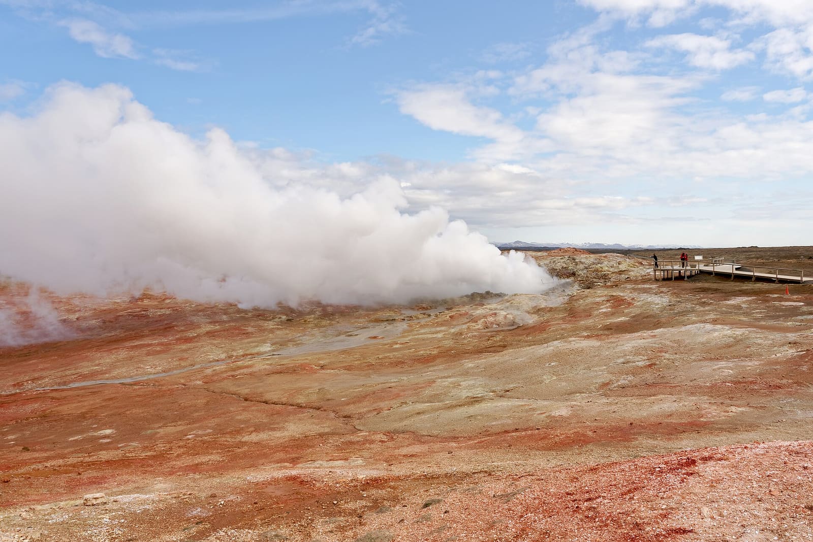
Gunnuhver and Reykjanesviti areaA compact volcanic/coastal anchor on the southwest peninsulaWind, road access, or marked-path warnings make exposed stops poor choices
Bridge Between ContinentsA short geology stop that pairs well with the western routeSeismic cracks, path warnings, or low time make even short stops unwise
Krysuvik/Seltun and KleifarvatnThe eastern peninsula option when ending toward Reykjavik or the South CoastYou are already late, visibility is poor, or road updates point elsewhere
GrindavikA current-conditions-dependent town or Blue Lagoon access contextOfficial safety, road, or local authority updates advise against the plan

A good Reykjanes route is often smaller than the map suggests. If Blue Lagoon is fixed, let that booking own the day. For a coast-first route, Garðskagi lighthouses, Hafnaberg sea cliffs and the Stampar crater row remain optional. Visit the Hafnaberg roadside access before the bridge when driving south from Hafnir.

Reserve roughly 90–150 minutes for Hafnaberg, including the walk out and back and time at the cliffs. The regional nature centre describes about 2.5 km each way across Hafnasand; pace, sand and weather change the time needed. Follow the signed trail from the parking about 4 km south of Hafnir on Route 425. The cliff location on a map is not vehicle access, and the fractured edge needs a wide margin.

Driving figures below are rounded planning allowances between the named stop areas, with Hafnaberg driving ending at the roadside parking. They are separate from walking and stop time. The southern links toward Blue Lagoon or Seltún are conditional: if a connection is unavailable, shorten or rebuild the route instead of assuming the same totals still apply.

The eastern peninsula offers different choices. Kapelluhraun is a compact lava-and-history pause, and Trölladyngja is an inland geology branch whose access must be checked. Búri Lava Cave is not a surface sightseeing stop: consider it only with confirmed permission, specialist guidance, and a group suited to rough underground conditions.

Choose visitor arrivals before loading directions.
Stop areaArrival and visit boundary
HafnabergUse the signed roadside parking on Route 425, about 4 km south of Hafnir. The walk is about 2.5 km each way; do not navigate a vehicle to the cliff pin.
Reykjanesviti and GunnuhverUse the signed visitor access around Route 443 and the geothermal area's marked paths. These are separate short visits; driving totals do not include an unrestricted coastal walk.
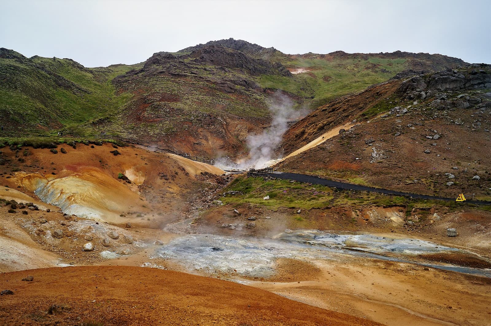
Seltún and KleifarvatnSeltún has visitor parking off Route 42 and a geothermal boardwalk. At Kleifarvatn, stop only at a signed, usable parking area; do not stop in the road for a lake view.
Blue LagoonFollow the operator's Route 43 approach and signs to the premises. Its parking is followed by a walk to the entrance; keep check-in and changing inside your visit budget.

Where to stay before or after the drive

Choose the overnight by the next fixed constraint: flight time, city time, or tomorrow's road direction.

Base choices that change the route.
BaseBest forWatch for
Keflavik or airport-area hotelEarly departures, late arrivals, and reducing first/last-day frictionLess useful if you want an easy evening in central Reykjavik
ReykjavikCity-first trips, public-transit travelers, and routes starting fresh the next morningAdds transfer time if your flight is early or your Reykjanes plan is west-heavy
Reykjanes/Grindavik areaBlue Lagoon-focused plans or a slower peninsula day when access is clearly supportedCurrent volcanic and road updates should decide whether this is sensible
South Coast or Golden Circle baseOnly when you are skipping most of Reykjanes and using the day to repositionCan turn a tired arrival day into too much driving
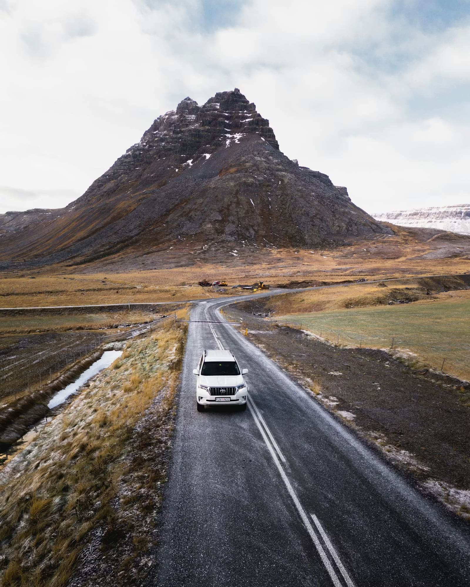
A peninsula overnight should follow current access guidance, especially around Grindavik and Blue Lagoon plans.
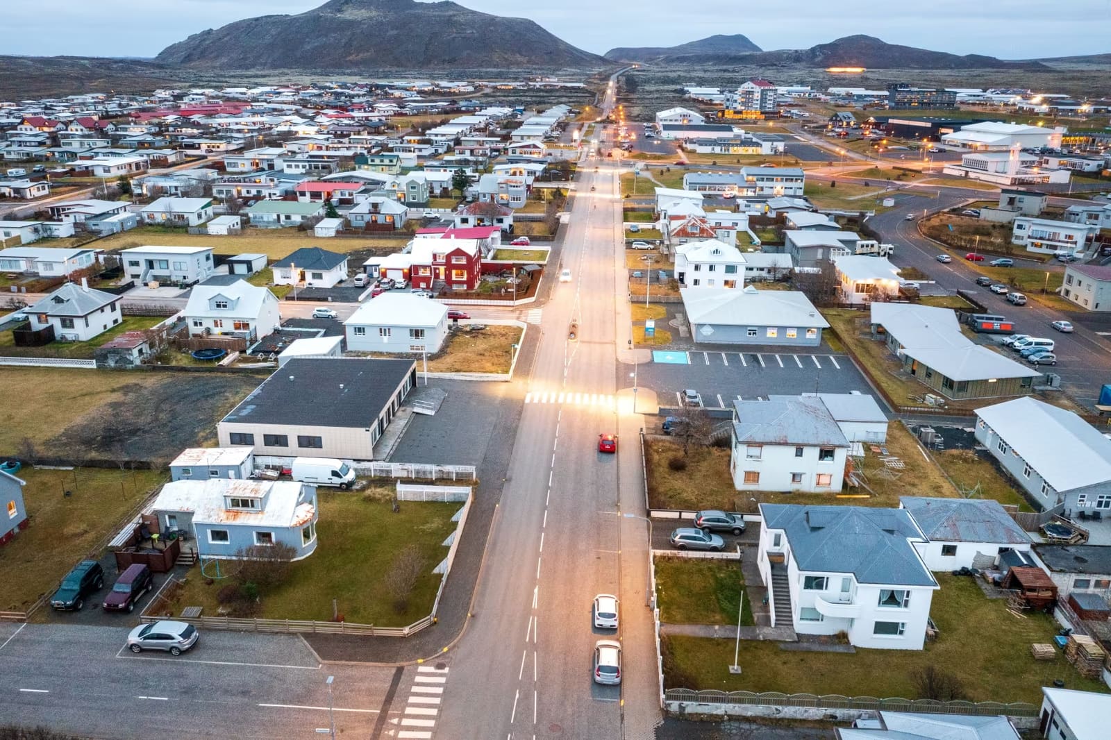
Grindavik sits between dark lava fields and the Atlantic on the Reykjanes Peninsula.

A peninsula overnight should follow current access guidance, especially around Grindavik and Blue Lagoon plans.

How much driving pressure this route creates

Reykjanes looks compact, but flight logistics, rental-car pickup, exposed roads, wind, short stops, and current access checks can make it feel tighter than expected.

Drive pressure checks

Airport friction
Luggage, car pickup, food, and fatigue can consume the time that looked free on the map.
Stop density
The route breaks down when every lighthouse, beach, geothermal area, museum, and spa becomes mandatory.
Exposure
Wind, low visibility, icy paths, and coastal conditions matter more than headline distance.
Recovery choice
A short version of the route is a success when it protects a flight, hotel check-in, or tomorrow's drive.

What changes in winter, wind, or volcanic activity?

Winter and volcanic unrest do not automatically rule out Reykjanes, but they make official updates part of the route, not an optional final check.

  • Check Umferdin for road notifications and surface conditions before leaving KEF, Reykjavik, or your hotel.
  • Check SafeTravel for Reykjanes alerts, eruption-area warnings, and marked-path guidance.
  • Check the Icelandic Met Office for weather warnings, wind, visibility, and volcanic information.
  • Check Blue Lagoon's own update page before treating a spa booking or access road as fixed.
  • Cut Krysuvik/Seltun, coastal walks, or Grindavik-area plans first if daylight, wind, or current access is weak.

For Blue Lagoon, follow the operator’s approach via Grindavíkurvegur (Route 43) and the road signs. Navigation apps can show outdated approaches. Check the same-day connection before leaving Gunnuhver or continuing toward Seltún; permission to reach the spa does not establish access through every neighbouring road or into Grindavík.

SafeTravel also reports subsidence and sinkholes near Bridge Between Continents. Stay on marked paths even when there is no visible eruption. If you are deciding which side of the peninsula to keep, compare the western, eastern and Svartsengi areas in the Reykjanes region guide. For ice, wind or short daylight, use the winter driving checks before choosing a fallback.

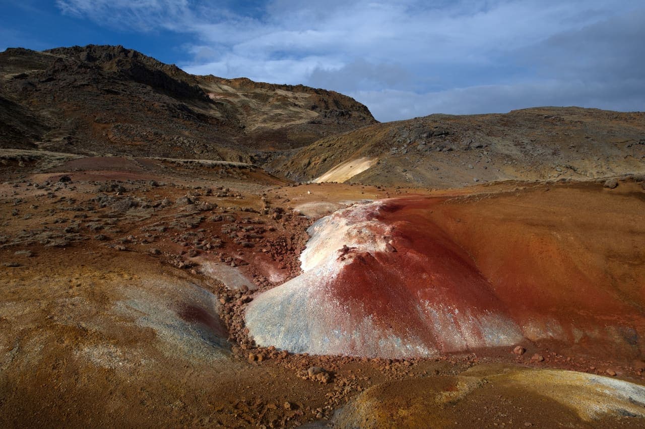
Marked paths and current conditions matter most around geothermal and volcanic ground.
Boardwalks cross the steaming mineral slopes at Seltun in Krysuvik on Reykjanes.

Marked paths and current conditions matter most around geothermal and volcanic ground.

Before you book Blue Lagoon, hotels, or the car

Book the fixed pieces that reduce stress, then keep the scenic stop list flexible until current conditions are clear.

  • Decide whether Reykjanes is an arrival route, departure route, Reykjavik day trip, or skip.
  • Check KEF arrivals/departures, airline guidance, and airport transport/car-rental logistics before using spare time on the route.
  • If Blue Lagoon is important, book it as the anchor and plan the road trip around that time, not the other way around.
  • Choose Keflavik lodging only when it solves a real flight or route problem.
  • Keep a no-penalty short route ready if roads, wind, volcanic updates, or fatigue change the day.

When to choose a different route

Choose a different route when Reykjanes would make the trip feel more complicated instead of easier.

Choose this insteadWhen it is smarter
ReykjavikYou arrive late, do not have a car, or need a low-effort first evening.
Golden Circle routeYou have one full route day from Reykjavik and want a more classic first-drive structure.
South Coast road tripYou have multiple days and want waterfalls, black sand beaches, and glacier-country pacing.
Driving in Iceland guideYou are unsure whether self-drive, winter roads, or flight-day driving are sensible for your group.

Reykjanes is useful because it can keep a trip realistic. If adding it makes the first or last day more brittle, the better planning decision is to simplify.

Official sources to check before driving

Use these sources close to the day you drive, especially when the plan touches winter, exposed coast, volcanic areas, airport timing, or Blue Lagoon access.

Current checks for a Reykjanes road trip

Visitor parking map points

Reykjanes road trip FAQ

These are the questions that usually decide whether the peninsula belongs on the first or last day.

Is Reykjanes a good arrival-day road trip?

Yes, Reykjanes can be a good arrival-day road trip if you land early, feel alert, have a rental car, and keep the stop list short. If the flight is late or winter daylight is limited, go to Reykjavik or Keflavik instead.

Is Reykjanes better on arrival day or departure day?

Either can work with enough margin. Arrival day requires an honest fatigue check; departure day requires a fixed airport cutoff and removable stops. An early landing or an airport-area hotel does not by itself make a full peninsula route sensible.

Can I do Reykjanes without a car?

Not well for the natural stops. You can use airport transfers and buses for town or spa logistics, but Bridge Between Continents, Gunnuhver, Reykjanesviti, and Krysuvik are much easier with a car or a guided route.

Should Blue Lagoon be part of the road trip?

Blue Lagoon should be part of the route only if its booking time improves the day instead of controlling it. Check the operator's current updates and build the rest of Reykjanes around that fixed time.

Is Reykjanes safe during volcanic activity?

It depends on the current official guidance. Check SafeTravel, the Icelandic Met Office, Umferdin, Visit Reykjanes, and any local/operator updates before driving or walking near affected areas.

Is a half day enough for Reykjanes?

A half day is enough for a focused western or Blue Lagoon-centered route. It is not enough for every peninsula stop plus a relaxed airport, spa, and Reykjavik plan.