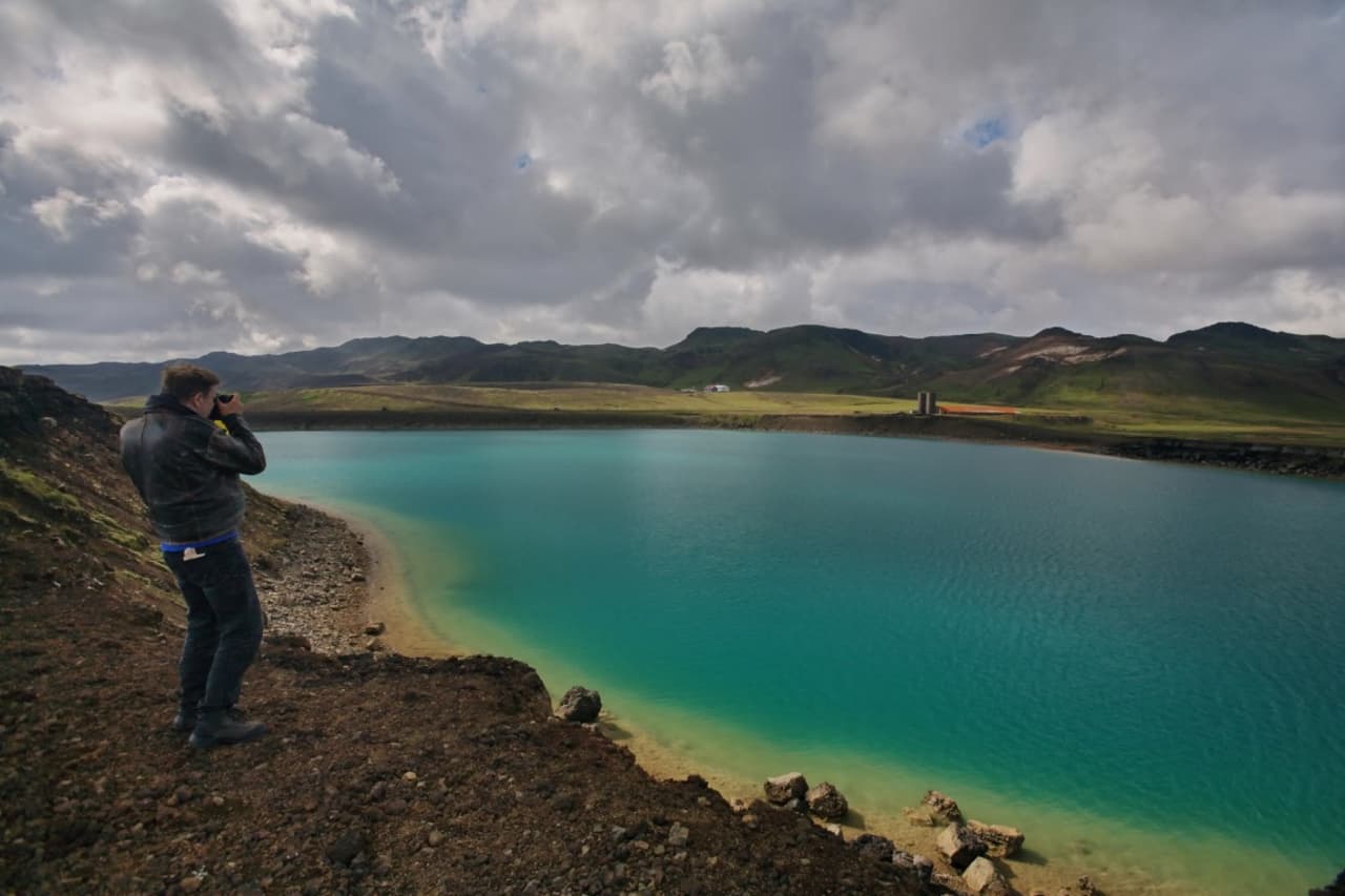
Grænavatn is a vivid green crater lake in the Krýsuvík area of Reykjanes, best used as a short scenic stop when you are already pairing Seltún, Kleifarvatn, and nearby volcanic landscapes.
Quick guide
Type
Green volcanic crater lake and Reykjanes geosite
Region
Reykjanes Peninsula, near Krýsuvík and Seltún
Route context
Best as a short add-on with Kleifarvatn, Seltún, and a wider Reykjanes day
Typical time
About 15-40 minutes for a look, photos, and a careful shoreline pause
Best experience
See the color, read the crater setting, then keep the peninsula route realistic
Access reality
Use on-site signs, official visitor information, road conditions, and weather before relying on a stop
Pairs well with
Kleifarvatn, Seltún, Krýsuvík, Blue Lagoon, Gunnuhver, and Reykjanesviti
Is Grænavatn worth stopping for on Reykjanes?
Yes, Grænavatn is worth stopping for if you are already driving the Krýsuvík and Kleifarvatn side of Reykjanes. It is usually too small to justify a long standalone detour.
The draw is simple and specific: a green crater lake set in dark volcanic ground, close enough to the road that it can add color and geology without taking over the day. It works best when the rest of your plan already includes Seltún, Krýsuvík, or Kleifarvatn.
A local Iceland travel editor would add Grænavatn to a slower Reykjanes Peninsula loop when the day needs a quiet scenic pause between bigger stops. They would skip it on a rushed arrival day if the choice is between this small lake and a stronger anchor such as Kleifarvatn or the Blue Lagoon.
Worth the stop?
When this stop makes sense
Good match for
Reykjanes self-drivers who want a short scenic pause
travelers already visiting Krýsuvík, Seltún, or Kleifarvatn
photographers looking for unusual lake color and volcanic context
slow peninsula loops with room for small geosites
Think twice if
travelers expecting a major serviced attraction
tight first-day plans that still need a stronger Reykjanes anchor
What does the green crater lake actually look like?
Grænavatn is compact, bright, and slightly strange: the lake color is the point, especially where the green water contrasts with dark crater edges and the low Reykjanes hills.
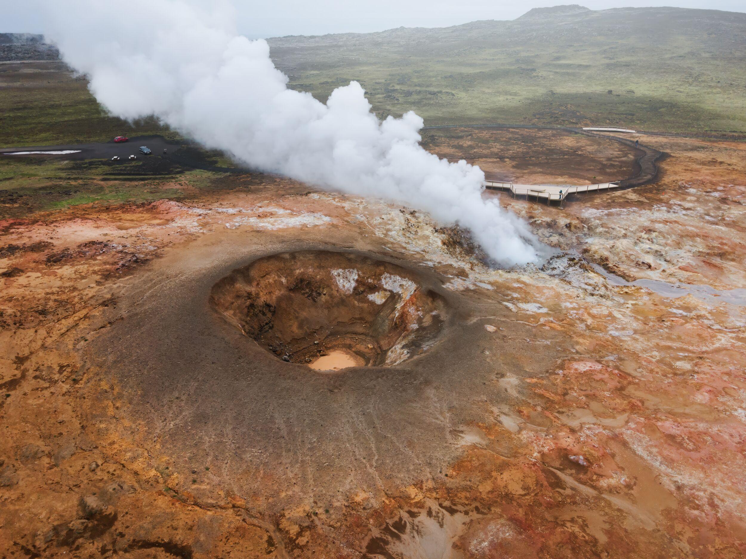
Official regional information describes the site as lake-filled maar-type explosion craters. Visitor-facing sources also connect the color to the geothermal and mineral setting around Krýsuvík, which is why the stop feels different from a normal roadside pond.
Grænavatn makes more sense when you see it as part of the wider Reykjanes crater-lake and ridge landscape.
Do not over-plan the stop. The lake is best appreciated as a short look, a few careful photos, and a way to understand why this part of Reykjanes feels so volcanic even before you reach the steam and mud at Seltún.
How should you pair Grænavatn with Krýsuvík and Kleifarvatn?
Pair Grænavatn with nearby Reykjanes stops instead of treating it as a destination by itself. The strongest sequence is usually lake, geothermal area, larger lake, and then a clear onward route.
Use Grænavatn as the small-color stop beside the larger landscape decision. Kleifarvatn gives the broader lake scenery, Seltún gives the active geothermal textures, and Grænavatn adds the vivid crater-lake contrast between them.
If your day continues west across the peninsula, compare the value of extra small stops against larger anchors such as Gunnuhver, Reykjanesviti, and the Blue Lagoon. On a short day, too many small detours can make Reykjanes feel scattered.
Simple Grænavatn route choices
Choice
Use it when
What to protect
Quick look
You are passing through Krýsuvík and want the green lake view.
Enough time to stop carefully and continue without rushing.
Cluster stop
You are pairing Grænavatn with Seltún and Kleifarvatn.
Weather margin, road checks, and a realistic onward plan.
Skip it
You only have time for one or two Reykjanes highlights.
A stronger anchor such as Kleifarvatn, Gunnuhver, or Blue Lagoon.
What should you check before relying on the stop?
Check official road, weather, safety, and visitor information before making Grænavatn a fixed part of a tight day, especially in wind, low visibility, winter conditions, or volcanic/seismic uncertainty on Reykjanes.
This is not a place where you need complicated logistics, but Reykjanes can still punish casual planning. Wind, gravel or secondary-road conditions, visibility, on-site signs, and nearby geothermal terrain all matter more than the map distance suggests.
If conditions are poor, keep the stop optional and use the Reykjanes Peninsula page to decide whether the day should stay close to Reykjavík, shift toward a larger serviced stop, or wait for a clearer weather window.
Use travel-condition guidance before treating a small side stop as guaranteed.
Common Grænavatn planning questions
Most Grænavatn questions come down to effort, pairing, and expectation. The lake is easy to understand, but it should stay flexible inside the day.
How long do you need at Grænavatn?
Most travelers only need 15-40 minutes. Use the shorter end for a quick look and the longer end if you want photos and time to understand the crater setting.
Is Grænavatn a main Reykjanes attraction?
No, it is better as a supporting stop. Build the day around larger anchors such as Kleifarvatn, Seltún, Gunnuhver, Reykjanesviti, or the Blue Lagoon, then add Grænavatn if the route still has room.
Can you swim in Grænavatn?
Do not treat Grænavatn as a bathing stop. It is a volcanic crater lake in a geothermal landscape, so follow on-site signs and official visitor guidance rather than assuming water access is appropriate.
Is Grænavatn useful in bad weather?
Only sometimes. Because the stop is short and exposed, poor visibility, strong wind, ice, or difficult road conditions can make it less worthwhile than a more sheltered or serviced plan.
Map
See where this stop sits
Use nearby places and useful bases before opening directions.
Region
Reykjanes
Works well with
Reykjanes Peninsula
Useful base
Keflavík
Interactive planning map for Grænavatn
Grænavatn
Keep exploring
Put this place in route context
Use nearby places and planning pages to decide whether this stop strengthens the route or stays optional.