Quick guide
- Type
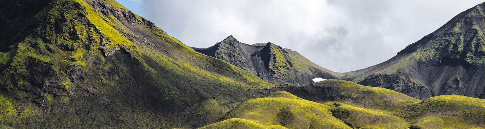
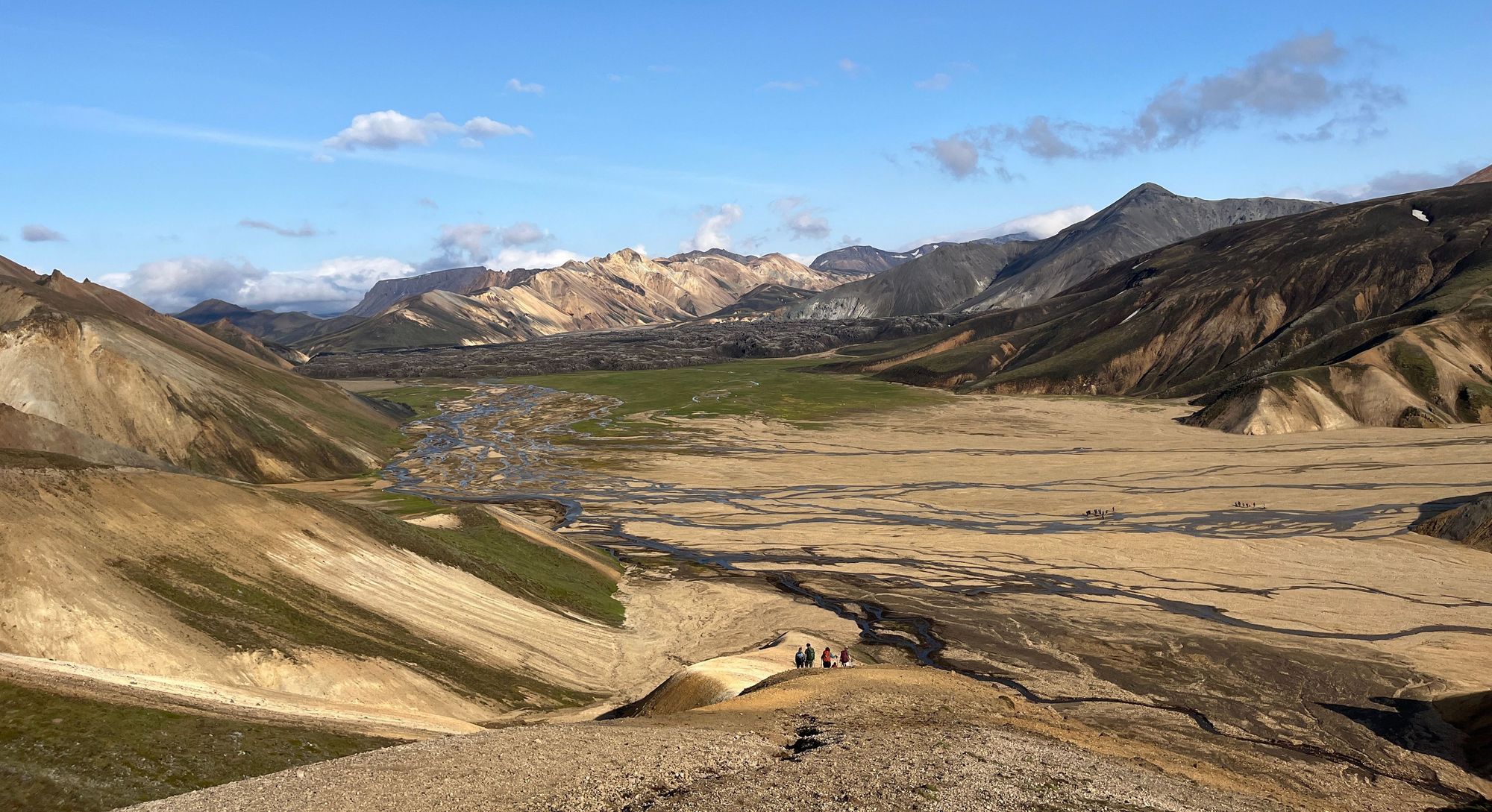
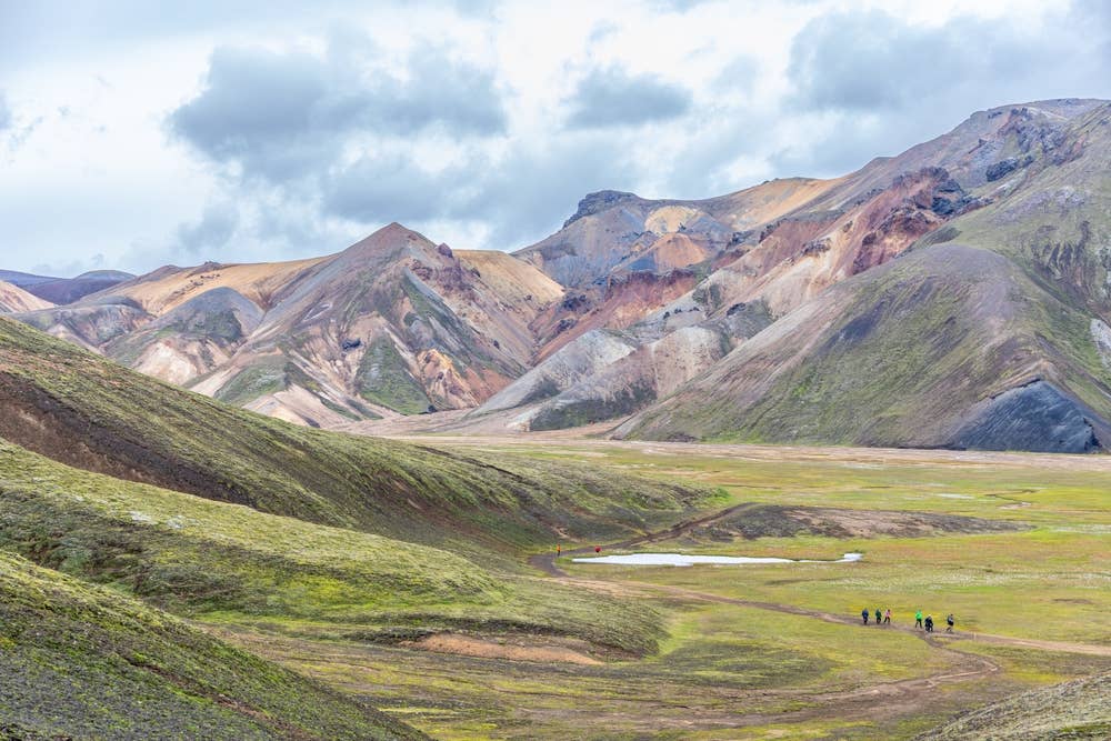
- Rhyolite mountain, volcano, geothermal landscape, and marked Highland hike
- Region
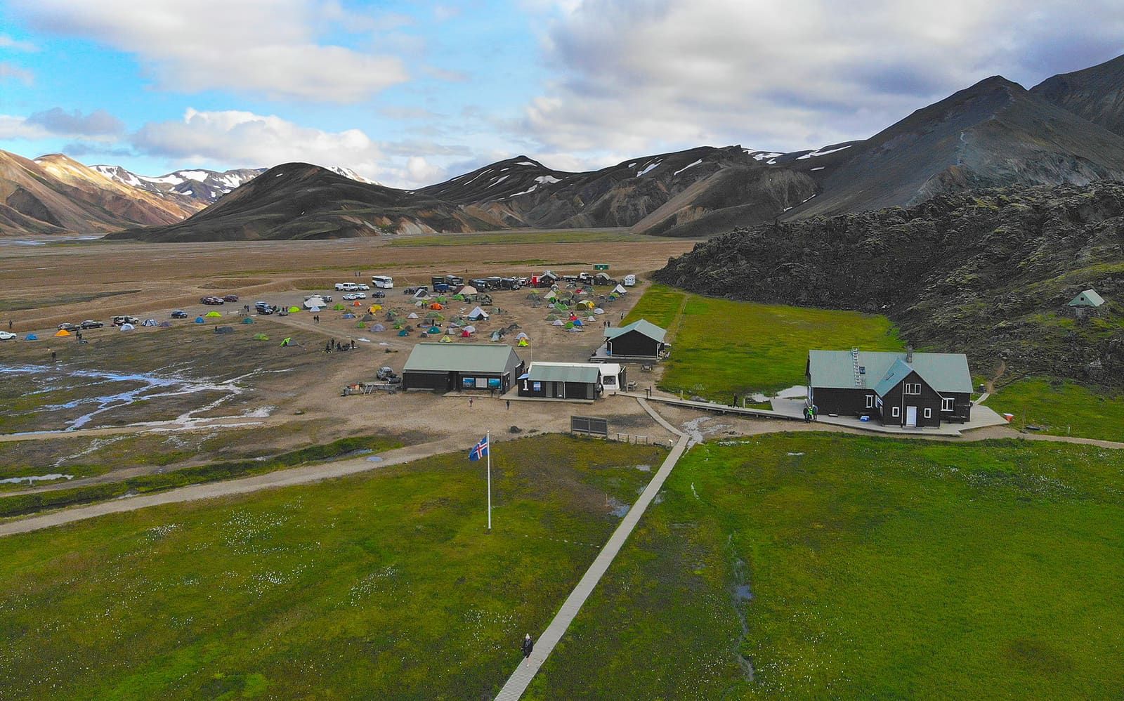
- Landmannalaugar in the Icelandic Highlands, within the Fjallabak area
- Route context
- Best treated as a Landmannalaugar hiking objective, not a quick South Coast add-on
- Time to allow
- About 3-4 hours for the hike, plus Highland driving and decision buffer
- Effort
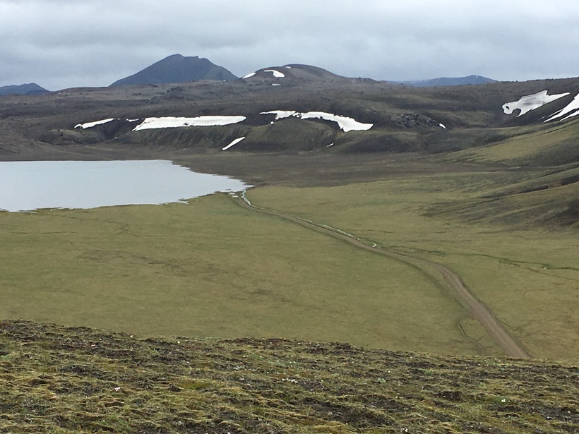
- Moderate mountain hiking with uneven ground, loose sections, and weather exposure
- Best experience
- Clear enough conditions to see the colored slopes, geothermal steam, lava, and wide Fjallabak views
- Access reality
- Highland road, vehicle, river-crossing, parking, and trail conditions should be checked before committing
- Nearby pairings
- Landmannalaugar, Fjallabak, Dómadalur, Laugahraun, and other marked Highland walks
- Before you go
- Use official road, weather, safety, protected-area, and trail sources for the final go/no-go decision