Quick guide
- Type
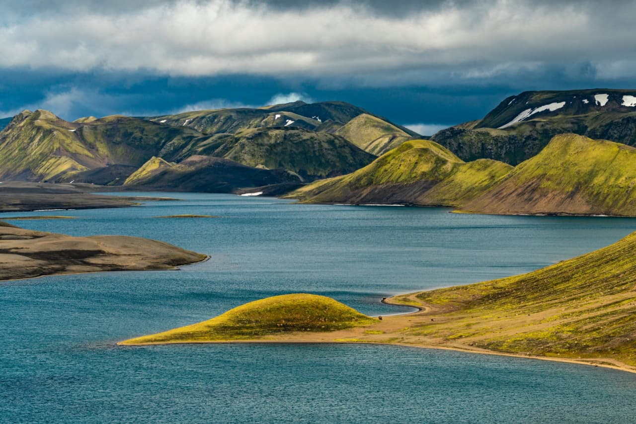
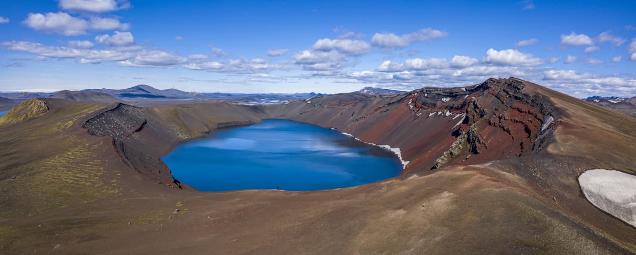
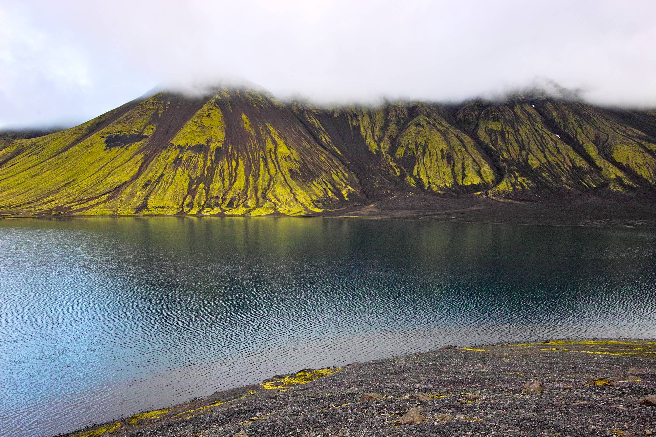
- Remote Highlands mountain, hike, and Langisjór viewpoint
- Region
- Southern Highlands in the South Iceland planning area, near Langisjór and Vatnajökull National Park
- Route context
- A deliberate F-road detour above Langisjór, not a paved South Coast roadside stop
- Time to allow
- Plan a full Highlands day once slow driving, checks, hiking, photos, and return margin are included
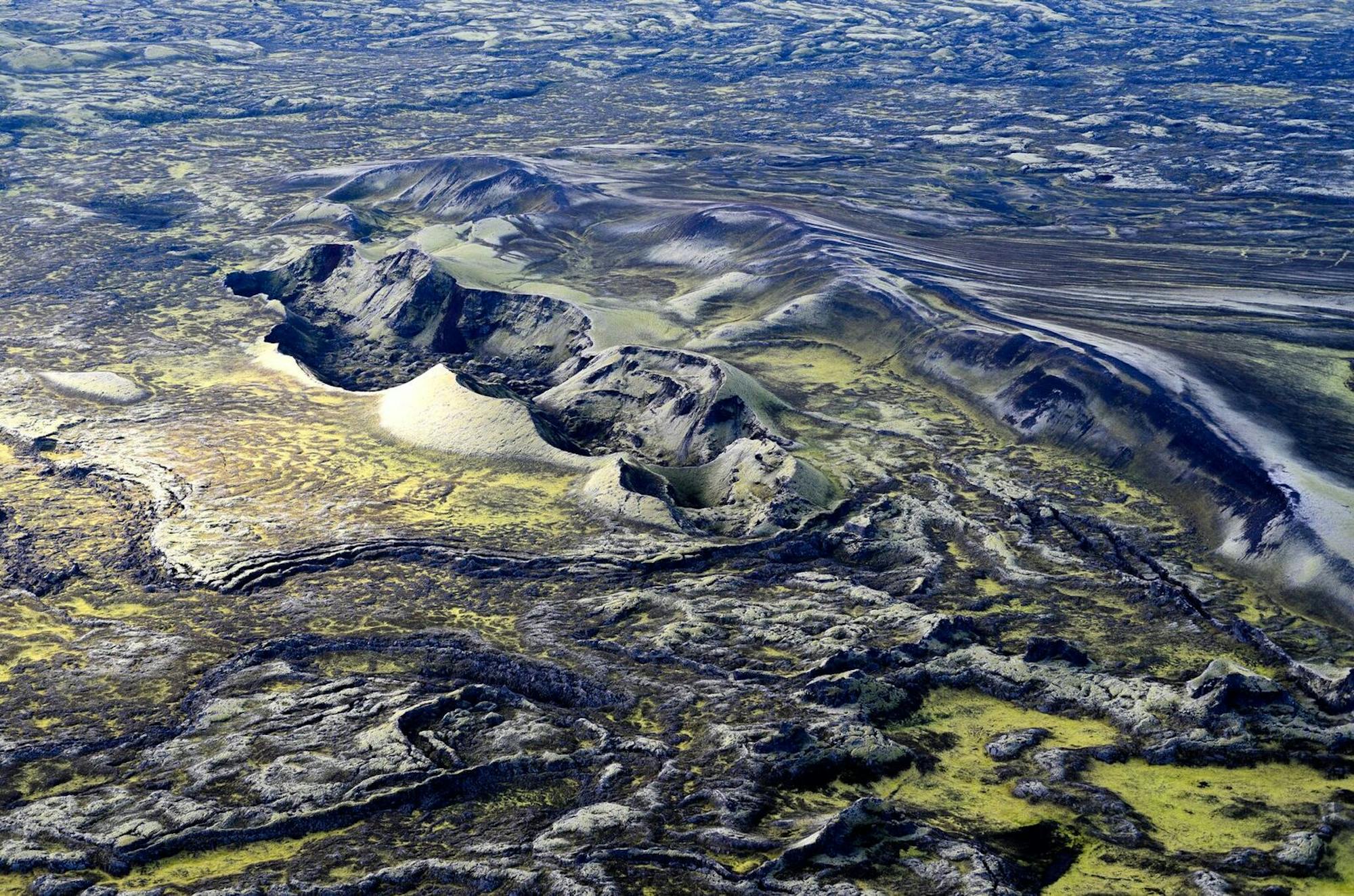
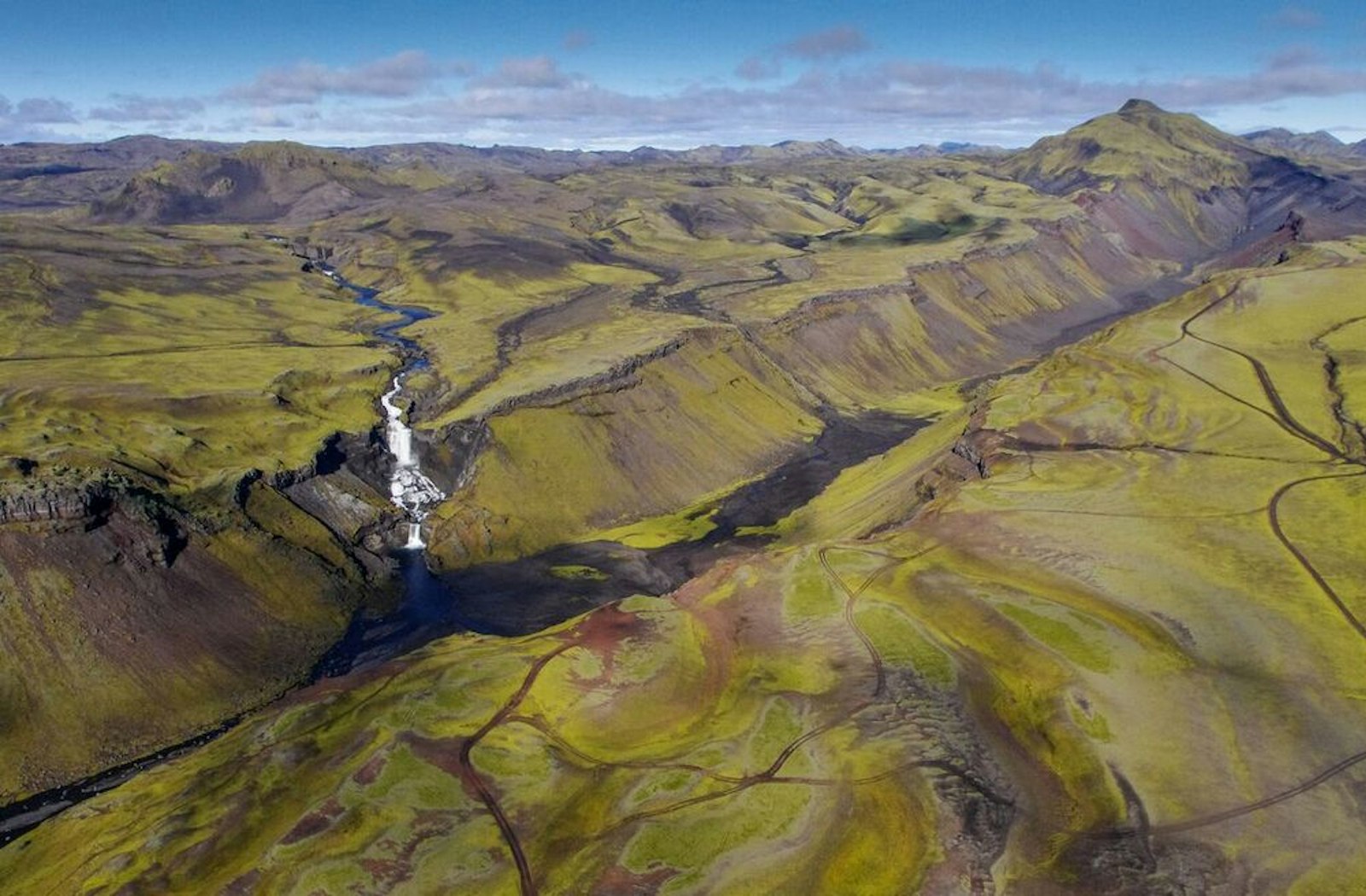
- Hike character
- Short, steep in places, and loose underfoot, with the summit view as the main reward
- Best experience
- Clear summer conditions, open Highlands roads, and enough daylight to turn around if access feels wrong
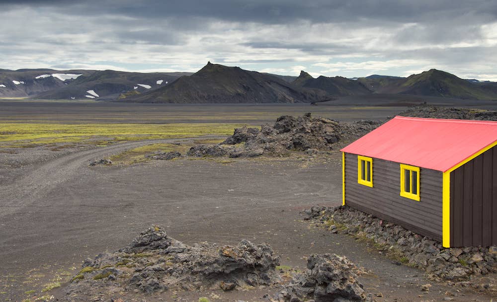
- Access reality
- Requires official road, weather, vehicle, river, and safety checks close to departure
- Nearby pairings
- Langisjór, Lakagígar, Eldgjá, Jökulheimar, Ljótípollur, and broader South Iceland plans