Quick guide
- Type
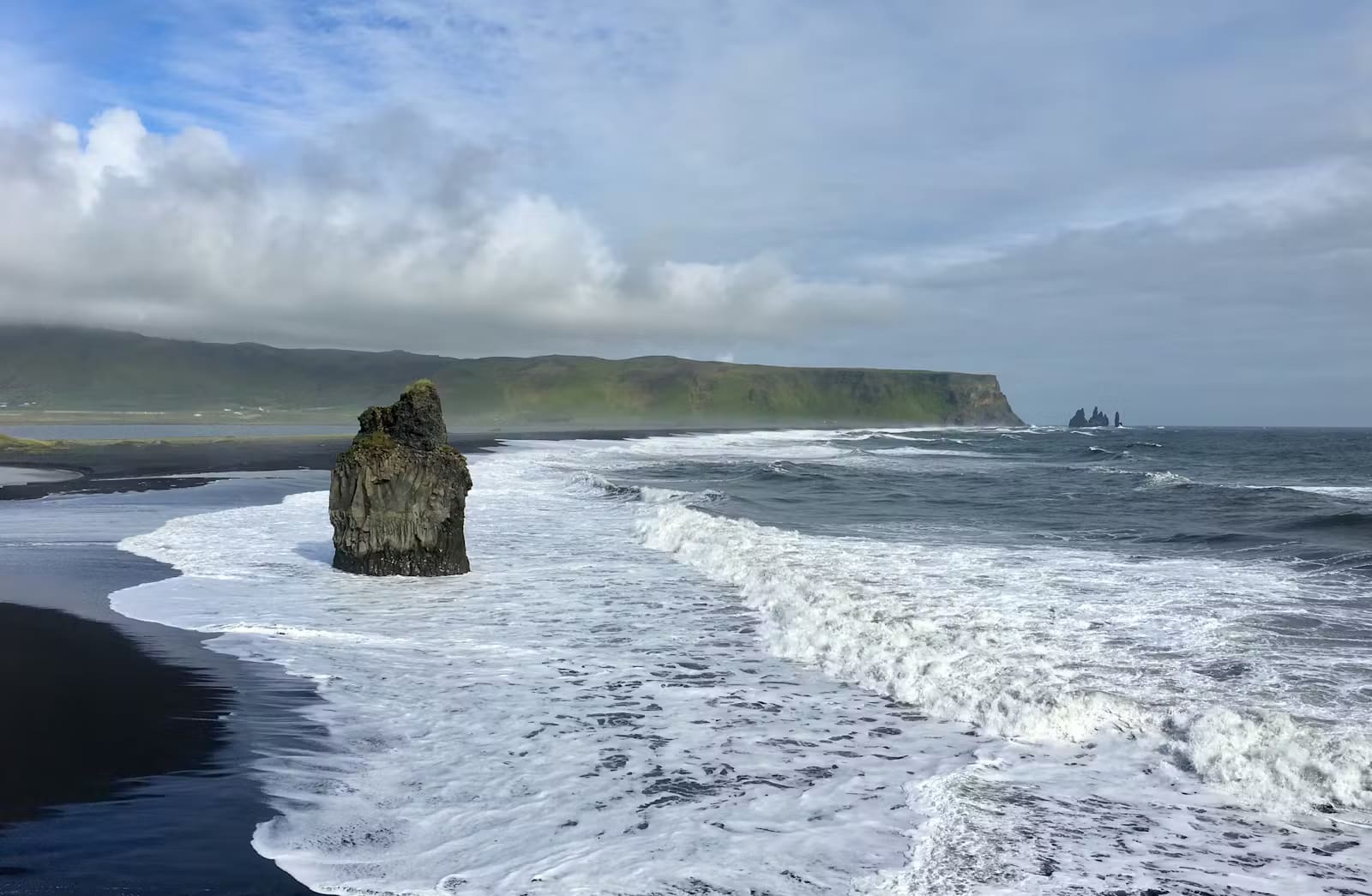
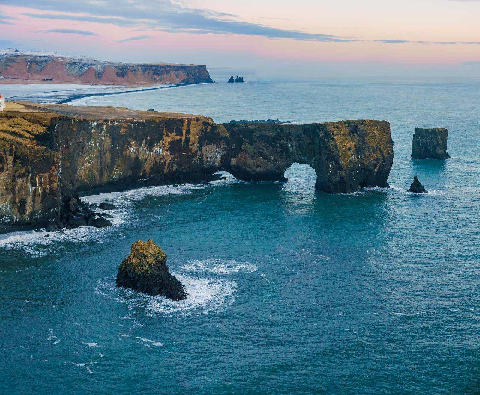
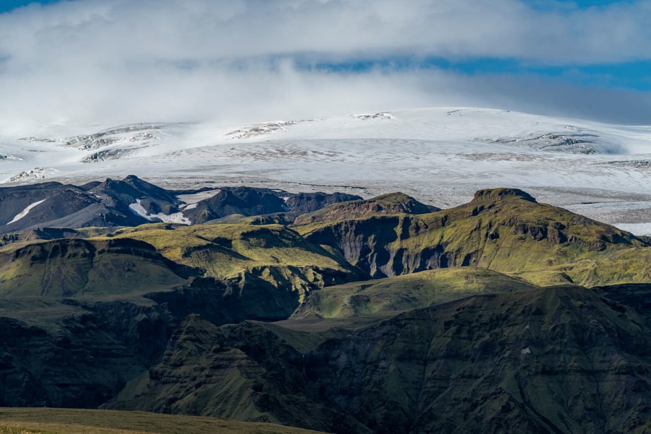
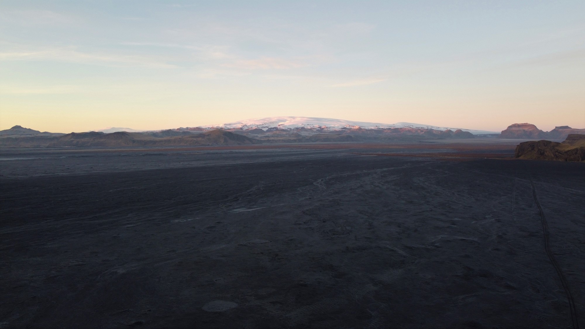
- Black-sand outwash plain shaped by Katla and Mýrdalsjökull
- Region
- South Iceland, east and southeast of Vík
- Route context
- South Coast and Ring Road landscape between Vík, Katla, and the eastern sand plains
- Time to allow
- A drive-through view can be brief; a deliberate photo or geology pause needs extra margin
- Best experience
- Seeing how glacier floods, black sand, coast, and isolated headlands change the South Coast scale
- Access reality
- Stay conservative around exposed sand, shoreline, wind, dust, and changing road conditions
- Nearby pairings
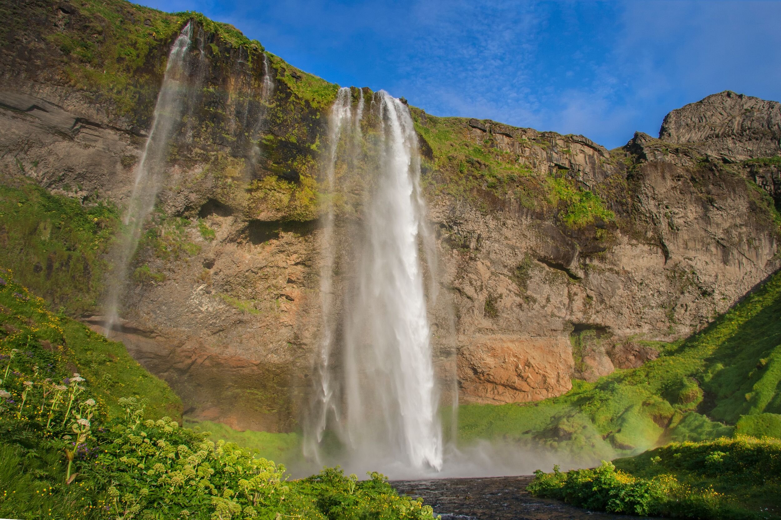
- Reynisfjara, Dyrhólaey, Katla, Skógafoss, Seljalandsfoss, and longer eastbound South Coast drives
- Main check
- Use official road, weather, and safety guidance before relying on an exposed stop