Quick guide
- Type
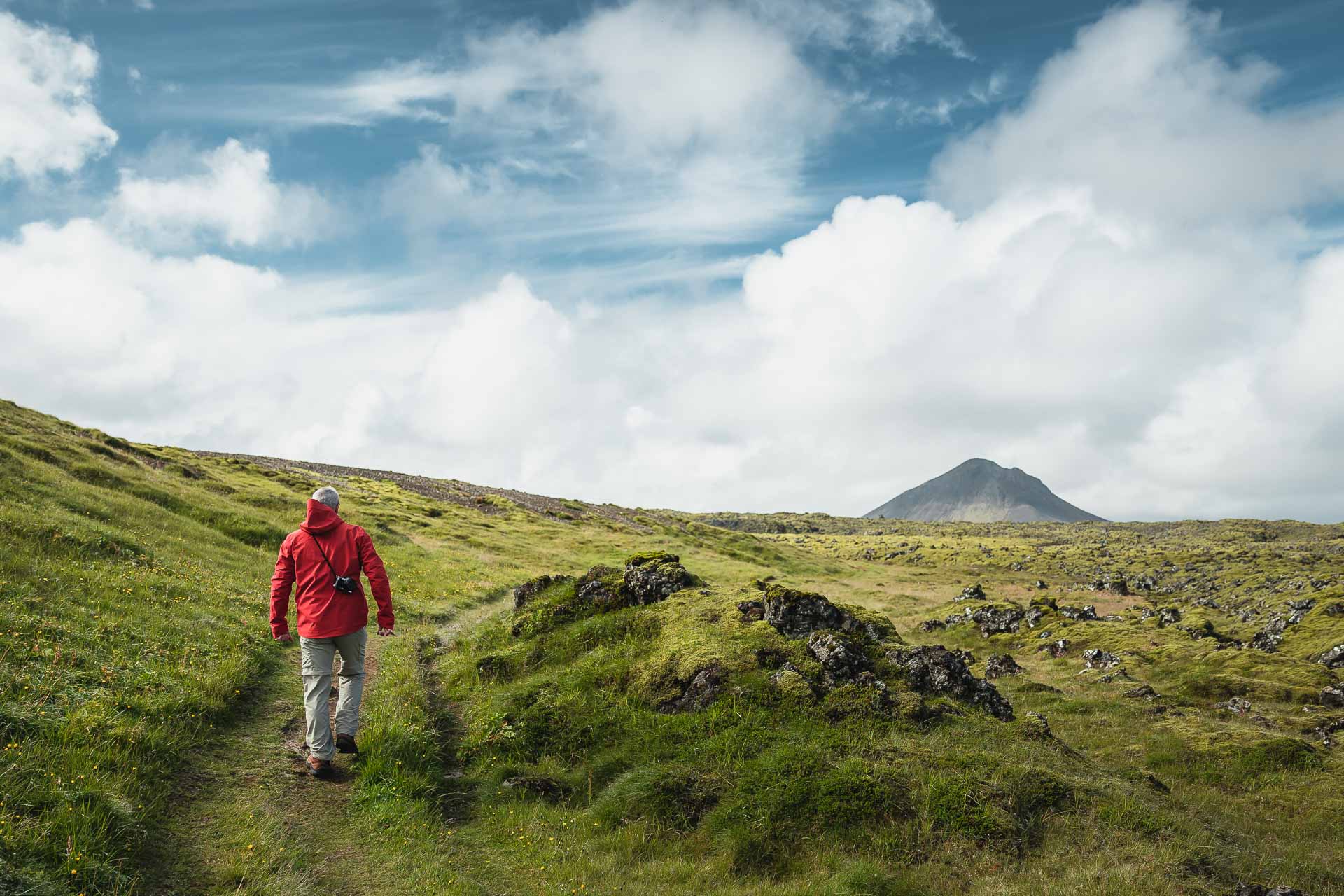
- Cone-shaped hyaloclastite mountain and Reykjanes hiking landmark
- Region
- Reykjanes Peninsula, southwest of Hafnarfjörður and inland from Route 41
- Route context
- Best inside a Reykjanes Peninsula self-drive day rather than as a standalone first-trip detour
- Time to allow
- Usually a few hours for the hike and access buffer, with more margin in wind, low visibility, or slower road conditions
- Effort
- Moderate hiking over lava-field ground, with a steeper upper section that can have loose stones and sand
- Best experience
- Clear visibility, modest wind, dry ground, and enough daylight to enjoy the summit view
- Nearby pairings
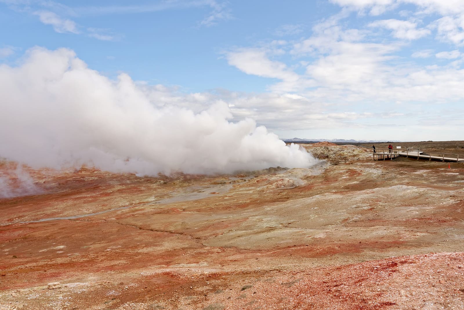
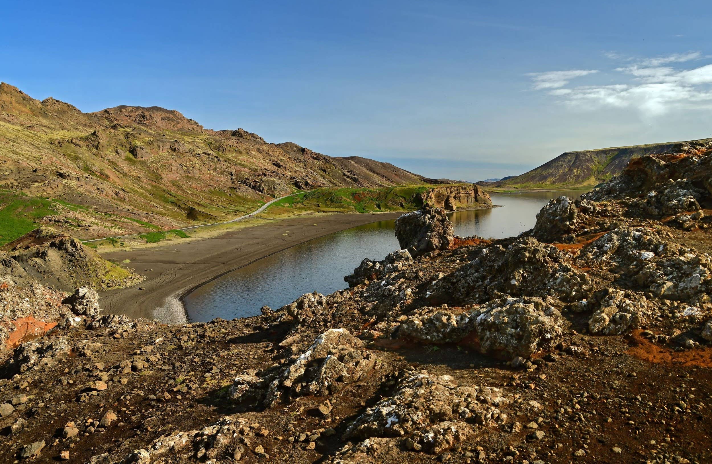
- Spákonuvatn, Kleifarvatn, Seltún Geothermal Area, Blue Lagoon, and a wider Reykjanes Peninsula loop
- Check before committing
- Use official road, weather, safety, and regional visitor information before making Keilir a fixed stop