Quick guide
- Type
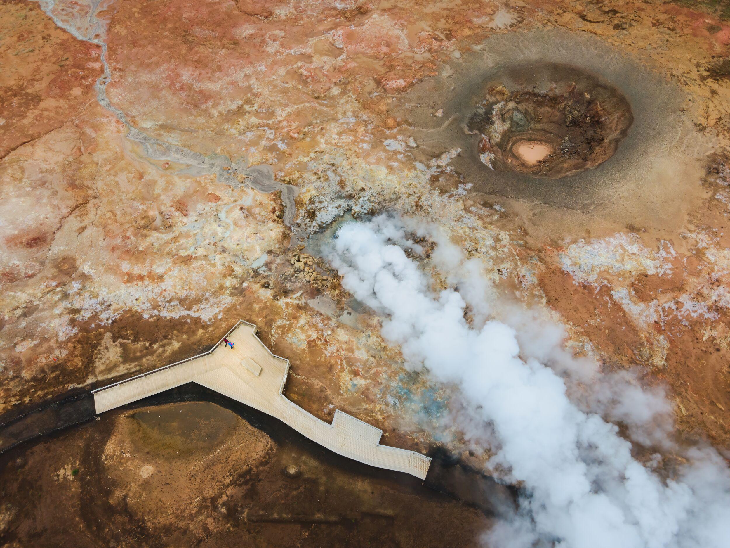
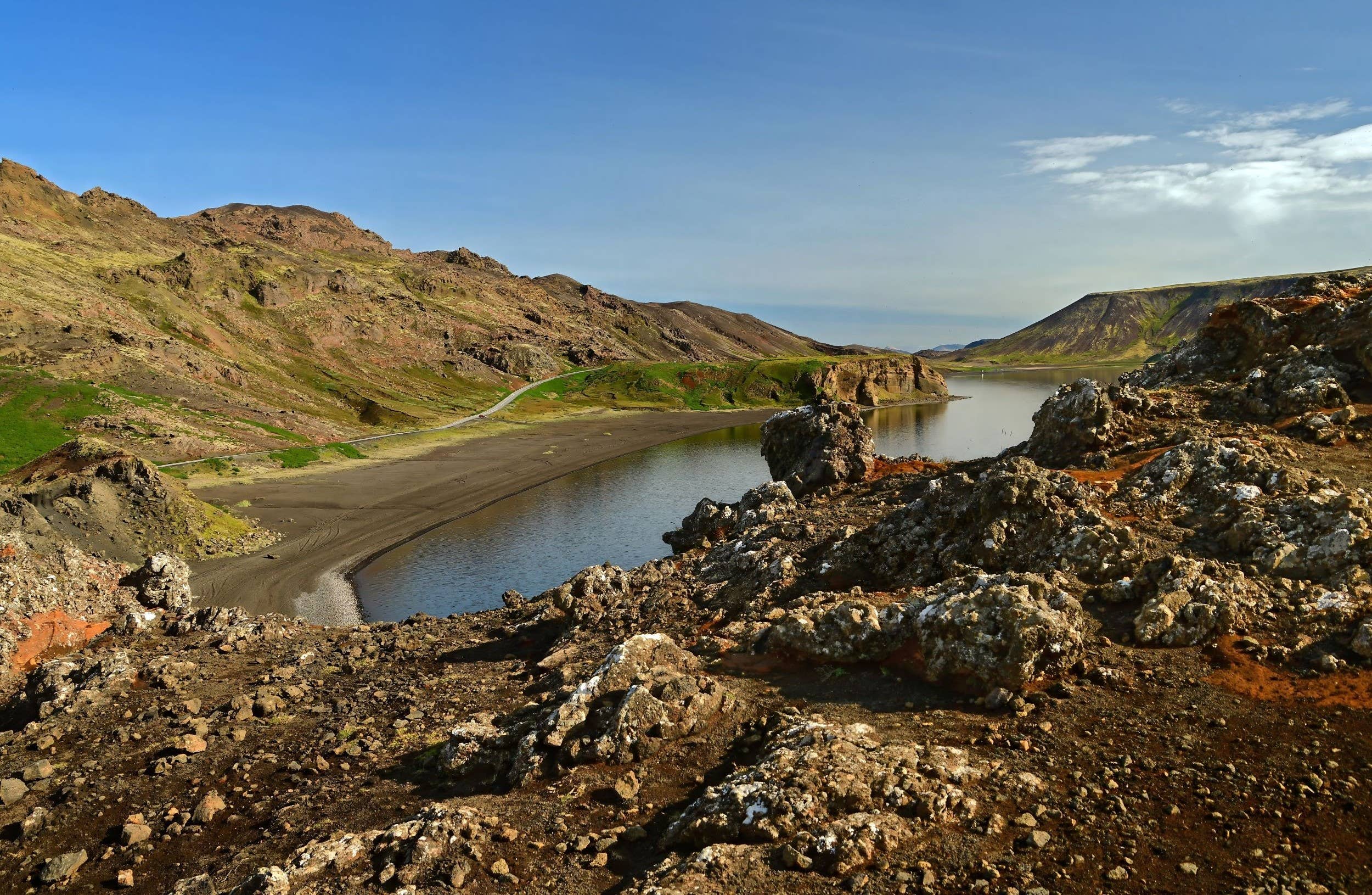
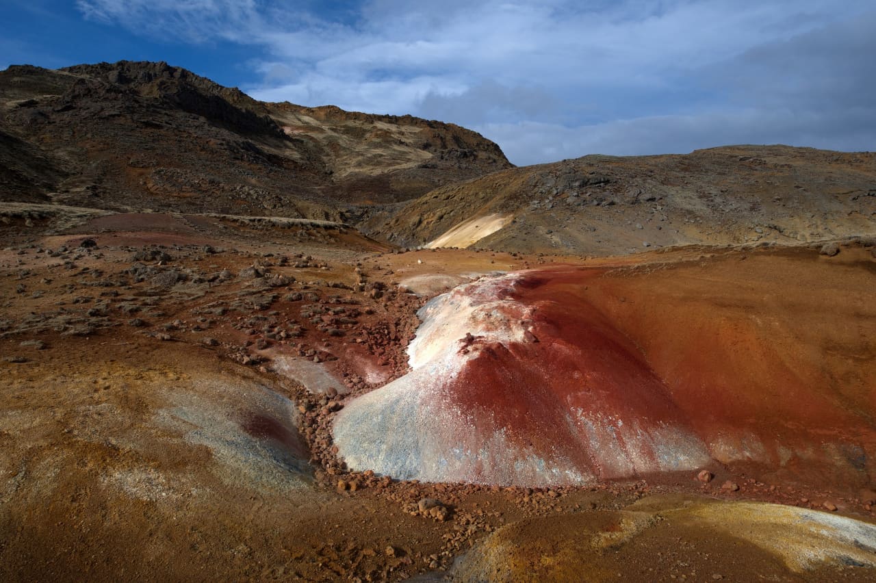
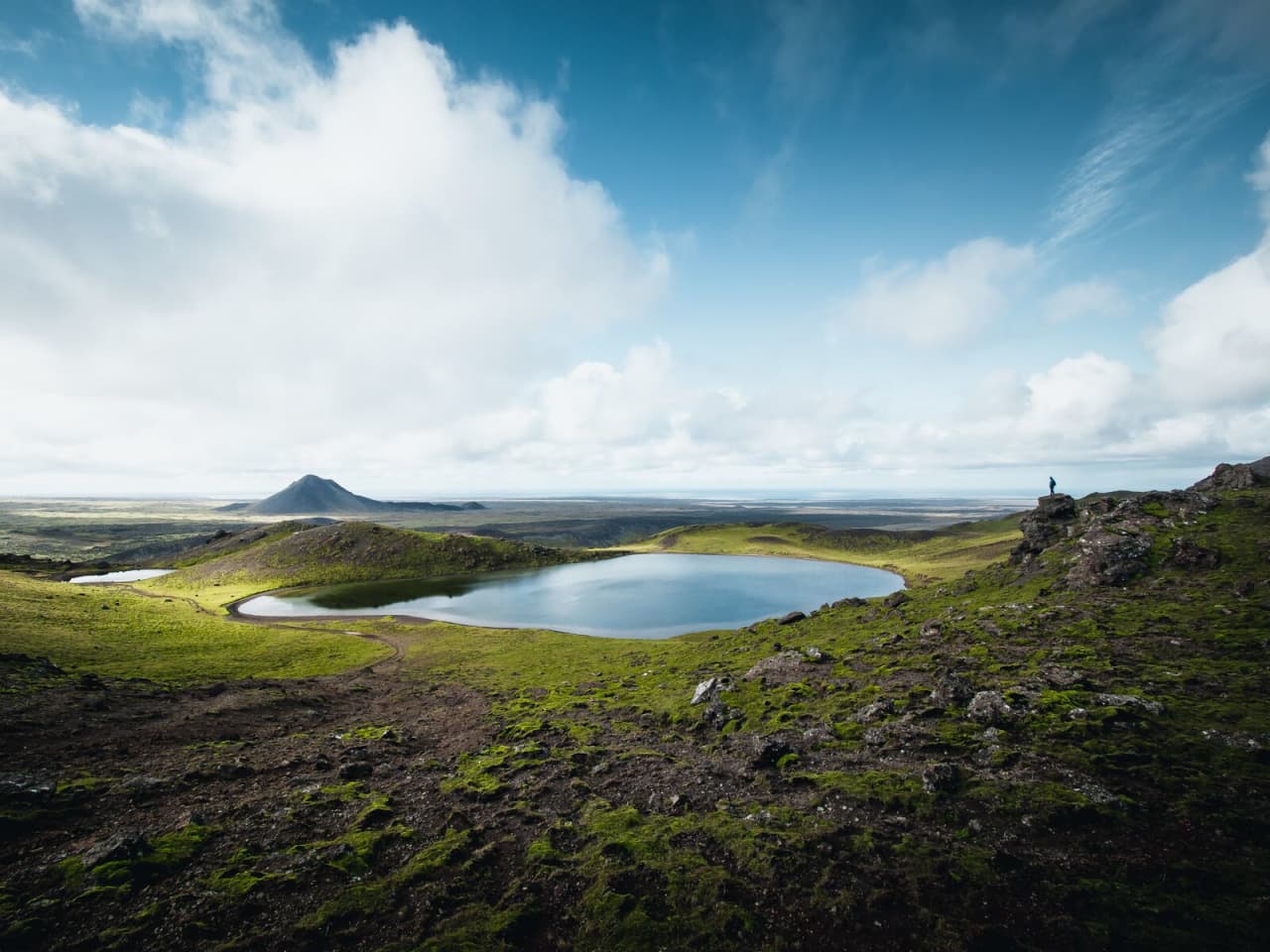
- Small crater lake and rough hiking stop
- Region
- Reykjanes Peninsula, near Sogin and the Trölladyngja area
- Route context
- Best inside a Reykjanes self-drive day, not as a standalone detour from Reykjavik
- Time to allow
- About 1.5-3 hours for a cautious hiking stop, depending on start point, pace, and conditions
- Effort
- Moderate by Reykjanes standards, with uneven ground and navigation that can be less obvious than major sights
- Best experience
- Clear visibility, light wind, dry ground, and enough daylight to enjoy the crater-lake view
- Nearby pairings
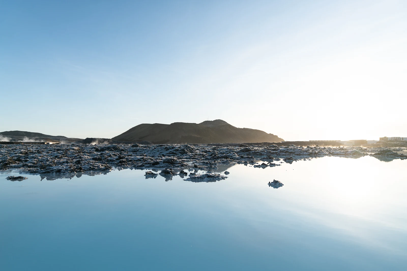
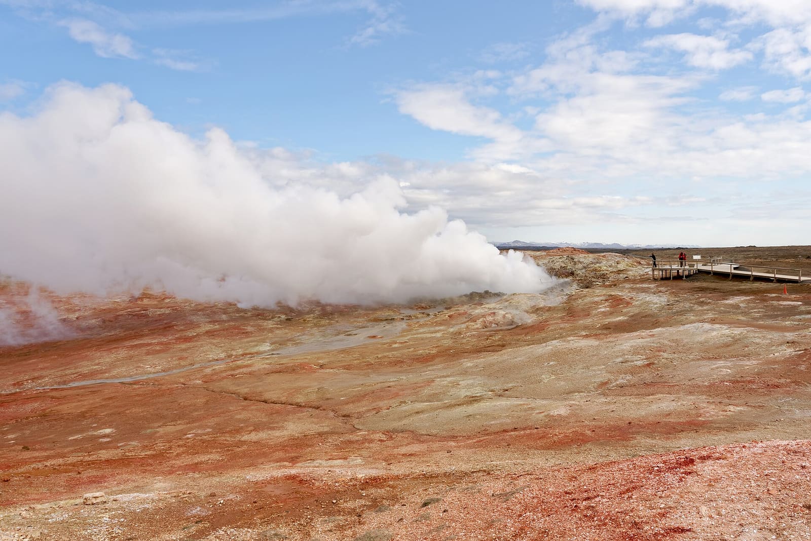
- Kleifarvatn, Seltún Geothermal Area, Keilir, Lambafellsgjá, and a broader Reykjanes Peninsula drive
- Check before committing
- Use official road, weather, safety, and regional visitor information before making this a fixed stop